Mount Shokanbetsu
暑寒別岳
The highest peak in a coastal quasi-national park, offering alpine wetlands and views from a 1492-meter summit.
What it is
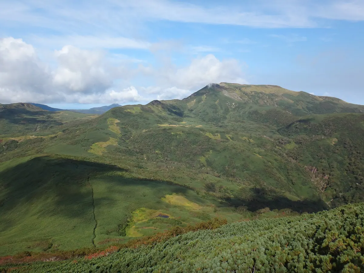
- The 1492-meter main peak of the Shokanbetsu mountain range in Hokkaido.
- A featured peak on the list of 200 Famous Japanese Mountains.
- The source of the Shokanbetsu River, named after an Ainu word for river above waterfalls.
- A protected area located within the Shokanbetsu-Teuri-Yagishiri Quasi-National Park.
What to see
- The Uryunuma Wetlands located along the climbing route from Uryu Town.
- A first-class triangulation point marking the highest point of the summit.
- Extensive views spanning across four different towns in the Hokkaido region.
- A campground located at the foot of the mountain for overnight stays.
When to go
- Visit between June and October when the base campground is operational.
- Early summer offers views of lingering snow across the mountain landscape.
- Be prepared for heavy snowfall conditions outside of the primary climbing season.
Getting there
- Access the mountain via established climbing routes starting from Mashike Town.
- Follow the Uryu route which leads hikers through the scenic wetland areas.
Notes written by Japan Gems from facts in Japanese Wikipedia.
Where it is
Mount Shokanbetsu Open in Google Maps
この施設の関係者の方へ
このページは公開情報をもとに Japan Gems が作成し、訪日外国人向けに英語で掲載しています。 写真や情報の追加・修正を承っています。お店の写真に差し替えることもできます。
このページの情報を更新する