Kuchinoshima
口之島
The northernmost inhabited Tokara island featuring wild cattle, volcanic peaks, and a hot spring on the southwest coast.
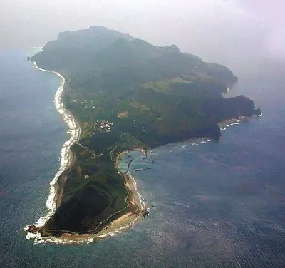
What it is
- A volcanic island covering thirteen square kilometers in the Tokara chain.
- The northernmost inhabited island in the archipelago with about one hundred residents.
- A former territory under United States administration from 1946 to 1952.
- The location where the 30th parallel north passes through the northern end.
What to see
- Wild Kuchinoshima cattle living in the southern evergreen forests.
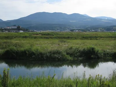
- Mount Maedake, the highest volcanic peak reaching 628 meters.
- Seramma Onsen, a hot spring located on the southwest coast.
- The Tamoto lily, a plant species endemic to this specific island.
Getting there
- Access is available via the village-run ferry from Kagoshima.
- The island can also be reached by ferry from Amami Oshima.
Notes written by Japan Gems from facts in Japanese Wikipedia.
Where it is
Kuchinoshima Open in Google Maps
この施設の関係者の方へ
このページは公開情報をもとに Japan Gems が作成し、訪日外国人向けに英語で掲載しています。 写真や情報の追加・修正を承っています。お店の写真に差し替えることもできます。
このページの情報を更新する