Rōsoku Rock
ローソク岩
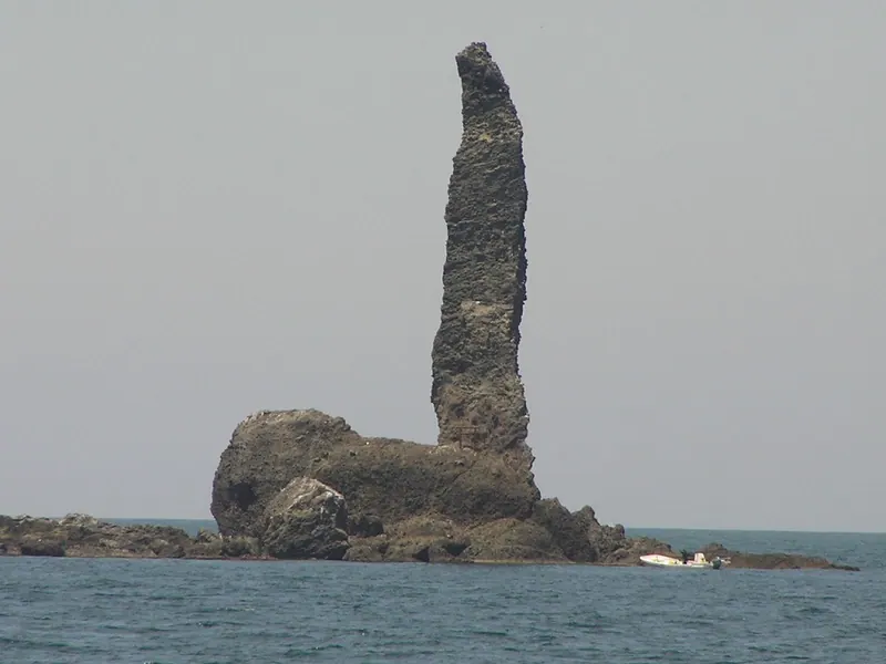
A 45-meter-high rock formation and symbol of Yoichi Town featuring a shrine perched atop its narrow peak.
What it is
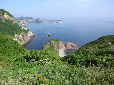
- An uninhabited island located 550 meters off the coast of Toyohama Town.
- A symbol of Yoichi Town standing over 45 meters above sea level.
- Part of the protected Niseko-Shakotan-Otaru Kaigan Quasi-National Park.
- A rock formation composed of hyaloclastite that was split by a 1940 tsunami.
What to see
- A small shrine located on the very top of the rock formation.
- The narrow tip of the rock where a portion broke off in 2016.
- Views of the island from a dedicated parking area near the New Wakkake Tunnel.
- The surrounding waters which served as a major historical herring fishing ground.
Notes written by Japan Gems from facts in Japanese Wikipedia.
Where it is
Rōsoku Rock Open in Google Maps
この施設の関係者の方へ
このページは公開情報をもとに Japan Gems が作成し、訪日外国人向けに英語で掲載しています。 写真や情報の追加・修正を承っています。お店の写真に差し替えることもできます。
このページの情報を更新する