Shōwa Iōjima
昭和硫黄島
A small uninhabited volcanic island formed by a submarine eruption in 1934, featuring rugged rhyolitic lava landscapes.
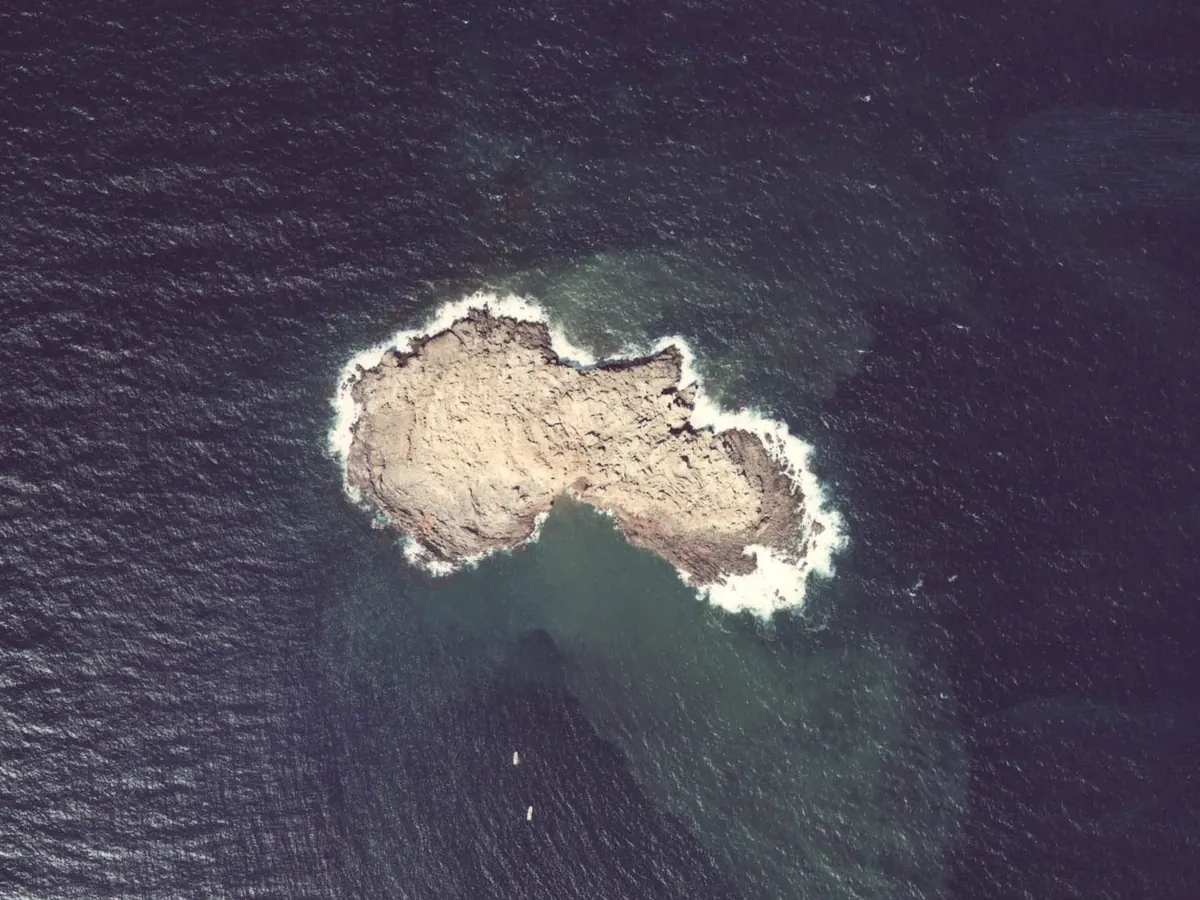
What it is
- An uninhabited island formed between 1934 and 1935 from a submarine eruption.
- A landmass situated on the northern edge of the Kikai Caldera.
- A small island with a circumference of 1.3 kilometers and a 26-meter peak.
- A site located approximately 30 kilometers south of the Satsuma Peninsula.
What to see
- Rugged terrain entirely covered in rhyolitic lava.
- Views of the nearby Satsuma Iojima located two kilometers to the west.
Notes written by Japan Gems from facts in Japanese Wikipedia.
Where it is
Shōwa Iōjima Open in Google Maps
この施設の関係者の方へ
このページは公開情報をもとに Japan Gems が作成し、訪日外国人向けに英語で掲載しています。 写真や情報の追加・修正を承っています。お店の写真に差し替えることもできます。
このページの情報を更新する