Tosamoshibe
トサモシベ
A 370-meter volcanic lava dome in Hokkaido offering a rugged climb for experienced hikers seeking off-trail winter ascents.
What it is
- A mountain standing 370.2 meters tall within the Kutsharo Caldera.
- A volcanic lava dome belonging to the Kutsharo Volcano Group.
- The name of the peak originates from the indigenous Ainu language.
- A fourth-class triangulation point marks the summit of the mountain.
What to see
- The summit triangulation point located at the highest elevation.
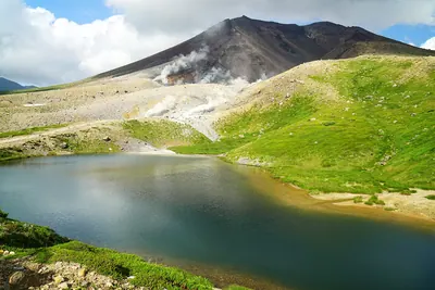
- Natural volcanic terrain formed as a lava dome.
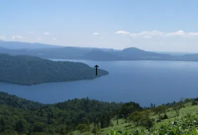
- Views of the surrounding Kutsharo Caldera landscape.
When to go
- The snowy season is a frequent time for climbers to make an ascent.
Getting there
- Access the southwest ridge starting from Prefectural Road 52.
- No established hiking trails exist, requiring off-trail navigation to the peak.
Notes written by Japan Gems from facts in Japanese Wikipedia.
Where it is
Tosamoshibe Open in Google Maps
この施設の関係者の方へ
このページは公開情報をもとに Japan Gems が作成し、訪日外国人向けに英語で掲載しています。 写真や情報の追加・修正を承っています。お店の写真に差し替えることもできます。
このページの情報を更新する