Amaga-take
雨ヶ岳
A 1,771-meter peak in the Tenshi Mountains offering views of Mount Fuji and unique geological history near Lake Motosu.
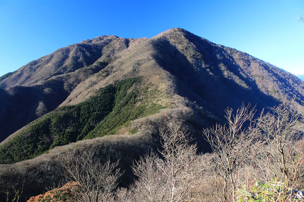
What it is
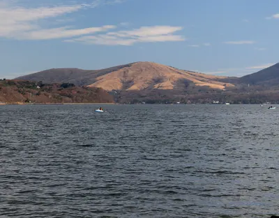
- A 1,771.6-meter mountain standing in the Tenshi Mountains on the southwest shore of Lake Motosu
- Part of the Fuji-Hakone-Izu National Park and listed among the 100 Mountains of Kai
- A peak belonging to the oldest geological layer of the Fossa Magna
- A mountain spanning the border between Minobu in Yamanashi and Fujinomiya in Shizuoka
What to see
- Views of Mount Fuji visible from the mountain summit
- A summit area covered in dense bamboo grass
- A third-class triangulation point located at the highest peak
- The A-zawa Reservoir completed in 1970 on the eastern slope
Getting there
- Access to the climbing trails is available from the Nebara bus stop
Notes written by Japan Gems from facts in Japanese Wikipedia.
Where it is
Amaga-take Open in Google Maps
この施設の関係者の方へ
このページは公開情報をもとに Japan Gems が作成し、訪日外国人向けに英語で掲載しています。 写真や情報の追加・修正を承っています。お店の写真に差し替えることもできます。
このページの情報を更新する