Mount Arakai
荒海山
A 1,581-meter peak on the central watershed offering 360-degree views and alpine flowers along the Fukushima-Tochigi border.
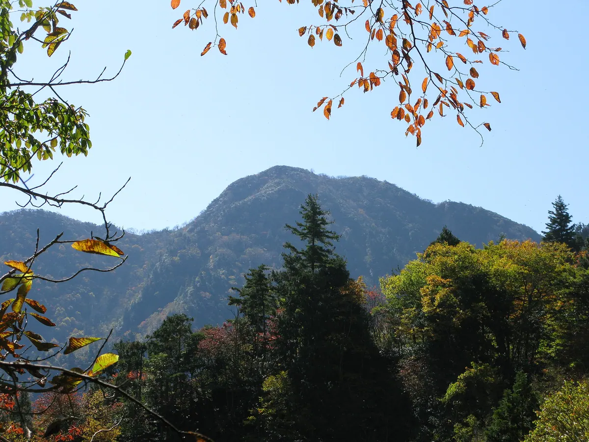
What it is
- A 1,581-meter mountain located on the border of Fukushima and Tochigi prefectures
- Part of the Taishaku Mountain Range sitting on the central watershed
- Known locally as Tarodake within the borders of Tochigi Prefecture
- The summit area is composed of sandstone, slate, and granite
What to see
- A 360-degree panoramic view of the surrounding mountain ranges from the summit
- The ruins of the Yasō Mine located at the Fukushima mountain base
- Azuma shakunage and Iwakamami flowers blooming near the peak
- Former sites of copper, zinc, lead, and iron sulfide production
Getting there
- The trailhead starts at the Yasō Mine entrance in Fukushima
- The trailhead is 5.5 kilometers from Aizu-Kogen Ozeguchi Station
Notes written by Japan Gems from facts in Japanese Wikipedia.
Where it is
Mount Arakai Open in Google Maps
この施設の関係者の方へ
このページは公開情報をもとに Japan Gems が作成し、訪日外国人向けに英語で掲載しています。 写真や情報の追加・修正を承っています。お店の写真に差し替えることもできます。
このページの情報を更新する