

20 Mountains in Fukushima worth your time
Japan Gems
32 Mountains in Fukushima, with what to see and how to get there.
Fukushima has 32 mountains on Japan Gems. Below are the 20 we can tell you the most about — each one written up in English from Japanese sources, with what to see and how to get there. See all mountains in Fukushima.
01
Hiyama
FUKUSHIMA · PLACE 日山
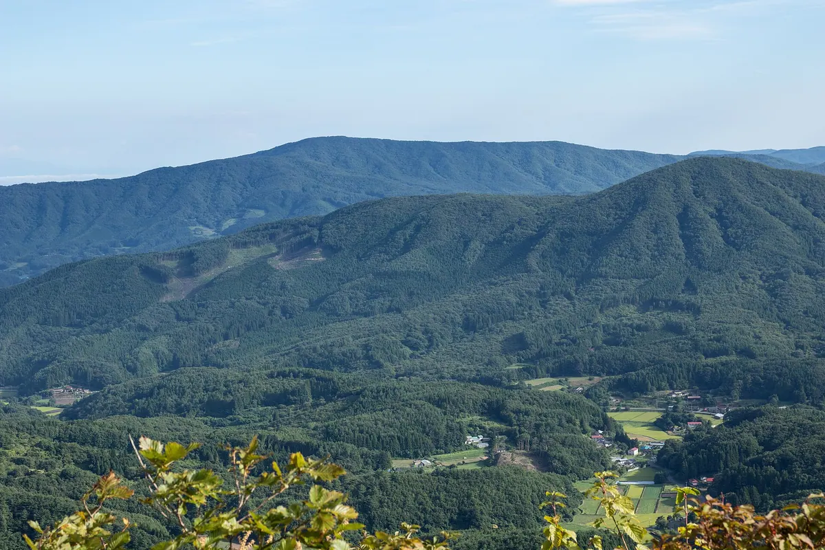
A 1,054-meter peak in the Abukuma Highlands featuring a summit shrine, seasonal azaleas, and multiple hiking trails for outdoor enthusiasts.
What it is
- The second highest peak in the Abukuma Highlands, also known as Tennoyama.
- A natural site featuring Hiyama Shrine located at the mountain summit.
- A recreational area containing a ranch, campsite, and park golf course.
- Historically considered the northernmost point from which to view Mount Fuji.
What to see
- Panoramic views from the peak at an elevation of 1,054 meters.
- Vibrant azaleas blooming across the landscape from late May to early June.
- Traditional lion dances performed at the mountain every October.
- Six different trailheads offering various routes to the summit.
When to go
- Late May to early June for the peak azalea blooming season.
- October to witness the performance of three traditional lion dances.
Getting there
- Tazawa trailhead provides a 40-minute hike to reach the summit.
- Parking lots at the trailheads accommodate between 20 and 30 vehicles.
02
Mount Issaikyō
FUKUSHIMA · PLACE 一切経山
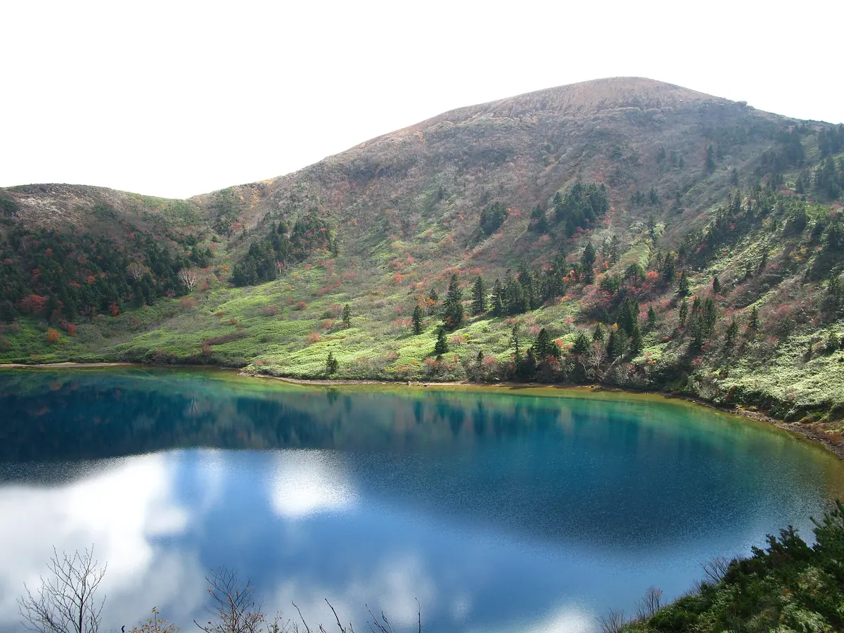
An active volcano in Bandai-Asahi National Park offering views of a vibrant blue crater lake from its rocky summit.
What it is
- An active volcano standing 1,948.8 meters tall within the Azuma mountain range.
- A peak listed among the 300 Famous Japanese Mountains in Bandai-Asahi National Park.
- A site of historical volcanic activity with major eruptions in 1893 and 1977.
- A mountain bordering Fukushima City and Inawashiro Town featuring a rocky debris-covered summit.
What to see
- Goshiki Pond located near the mountain peak known for its changing colors.
- The rocky summit offering panoramic views of the surrounding national park.
- The Sukadaira mountain hut which provides basic shelter for up to ten people.
- The volcanic landscape of the Jododaira area along the Bandai-Azuma Skyline.
Getting there
- Access the mountain via the Jododaira area through the Bandai-Azuma Skyline road.
- Hike to the summit using the established Fudozawa trailhead route.
03
Mount Yadaijin
FUKUSHIMA · PLACE 矢大臣山
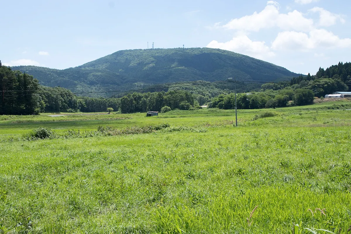
The highest peak in Iwaki City, offering a scenic hike through beech forests to a summit observation deck and shrine.
What it is
- The highest peak in Iwaki City, standing at 965 meters above sea level.
- A mountain located in the central Abukuma Highlands on the border of Tamura, Ono, and Iwaki.
- A natural site featuring a second-class triangulation point at its northern end.
What to see
- A large observation deck positioned just below the mountain summit.
- A small shrine located at the northern end of the peak.
- Broadleaf trees including beech growing along the various mountain trails.
- Wild azaleas and eastern daisies blooming near the summit area.
When to go
- Spring is the best time to see the wild azaleas and eastern daisies.
Getting there
- The Yuzawa trailhead is accessible from Ono Town.
- The Kobirai trailhead is located within Iwaki City.
- Climbing to the summit takes approximately one hour and twenty minutes.
04
Mount Kimen
FUKUSHIMA · PLACE 鬼面山
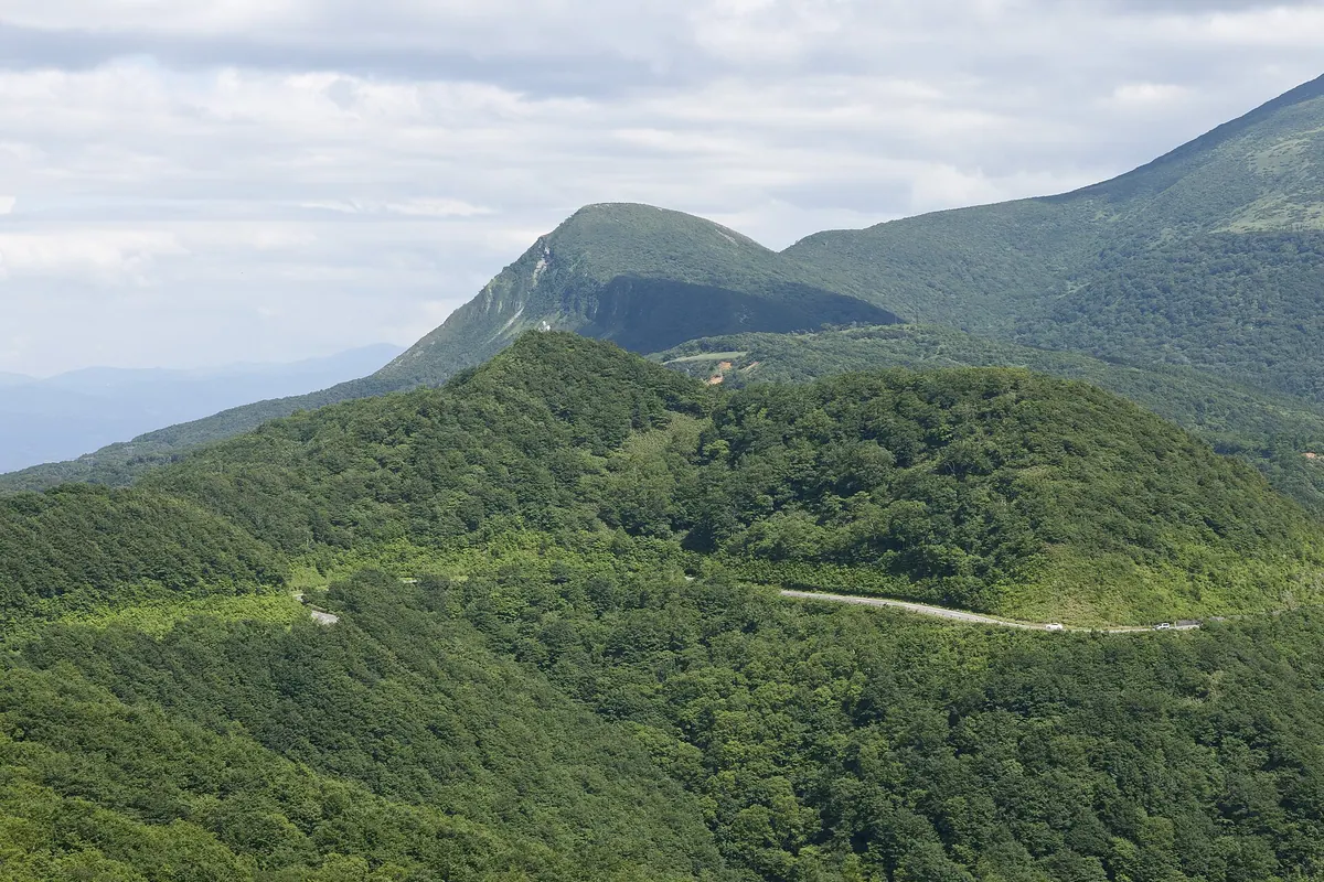
A 1,482-meter peak in the Adatara range offering scenic basin views and access to several mountain hot spring resorts.
What it is
- The northernmost peak of the Adatara mountain range standing at 1,482 meters.
- A mountain located on the border of Fukushima and Inawashiro.
- A hiking destination featuring steep cliffs on its northern and eastern summit sides.
What to see
- Panoramic views of the Fukushima Basin and the Azuma Mountains from the summit.
- The Old Tsuchiyu Pass located along the hiking route.
- A trail connecting the summit to Mount Minowa and Mount Adatara.
- Hot spring resorts including Washikura Onsen and Akayu Onsen at the mountain base.
- Day-use hot springs available for hikers at the foot of the mountain.
Getting there
- Trailheads are accessible from Noji Onsen and Shin-Noji Onsen.
- The ascent to the summit takes approximately ninety minutes from the base.
- The mountain is situated along Fukushima Prefectural Road 30.
05
Mount Hakase
FUKUSHIMA · PLACE 博士山
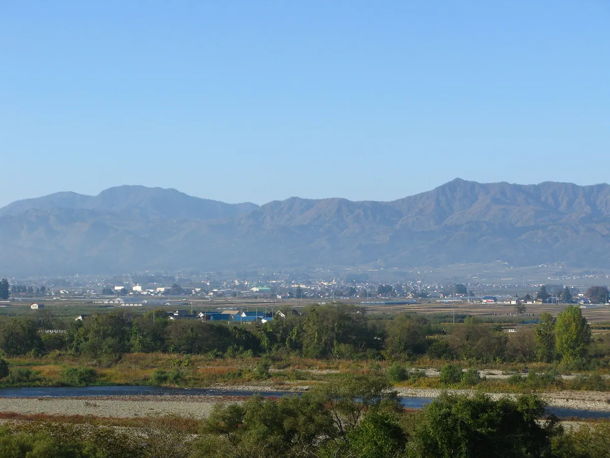
A 1,482-meter volcanic peak in Fukushima featuring ancient beech forests, golden eagle habitats, and panoramic views of distant mountain ranges.
What it is
- A cone-shaped volcanic mountain standing 1,482 meters tall in the Aizu region.
- The former site of Isasumi Shrine, bordering Yanaizu, Aizumisato, and Showa.
- A natural habitat for nesting golden eagles and expansive old-growth beech forests.
- A summit marked by a first-class triangulation point for geographic measurement.
What to see
- Panoramic views of the Iide and Nasu mountain ranges from the peak.
- A large old-growth beech forest covering the mountain slopes.
- A geothermal power plant operating at the foot of the mountain.
- Volcanic rock formations that make up the mountain structure.
Getting there
- Access the Dokai Naki-one trailhead via Prefectural Route 32.
- The hike from the trailhead to the summit takes approximately 150 minutes.
06
Aizu-asahi Dake
FUKUSHIMA · PLACE 会津朝日岳
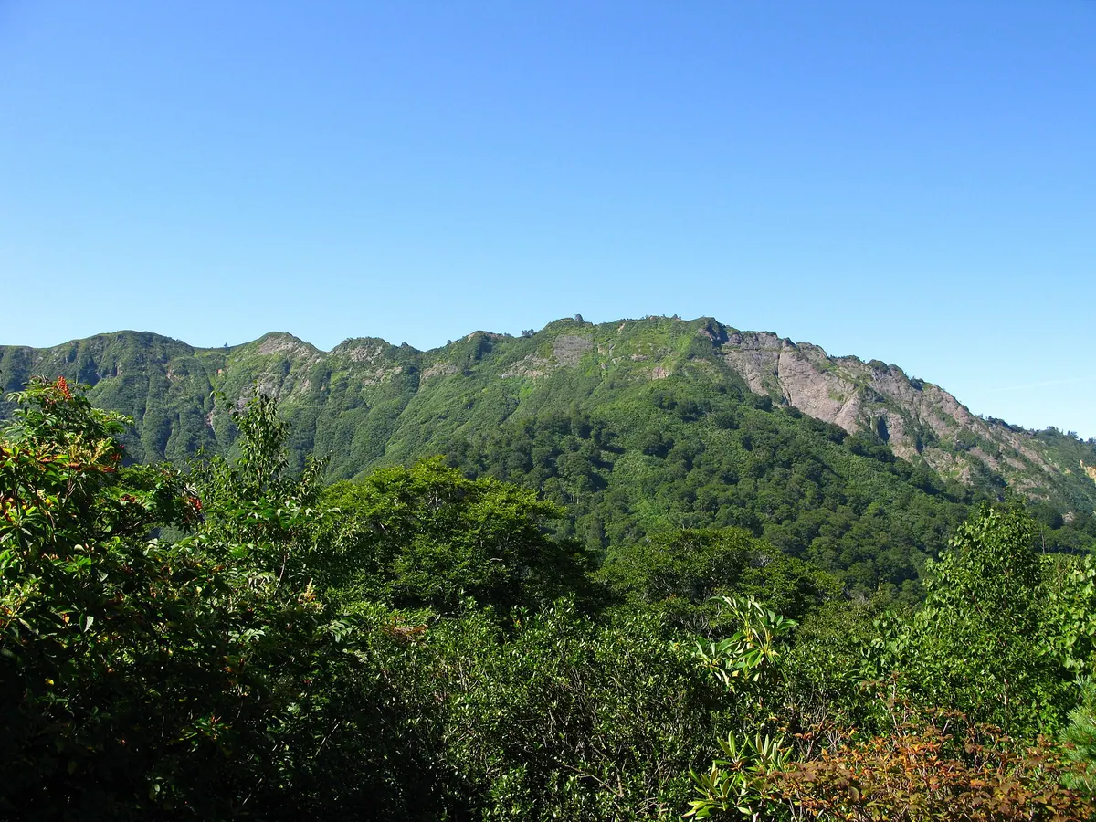
A 1,624-meter peak in Fukushima offering a challenging hike through a protected forest ecosystem and national park.
What it is
- A 1,624-meter mountain located within the Echigo Sanzan-Tadami Quasi-National Park.
- One of Japan's 200 Famous Mountains and part of the Four Famous Mountains of Tadami.
- A designated area within the Oku-Aizu Forest Ecosystem Conservation Area.
- A hiking destination that reopened in 2015 following four years of closure.
What to see
- A third-class triangulation point marking the summit of the mountain.
- The Miyoshi Michigi natural water source located along the climbing route.
- An evacuation hut situated at the Kumanodaira saddle for hikers.
- Diverse flora and fauna within the protected forest ecosystem conservation area.
Getting there
- The Akakurasawa trailhead is located near the Iwana-no-Sato fishing pond.
07
Mount Ōto
FUKUSHIMA · PLACE 大戸岳
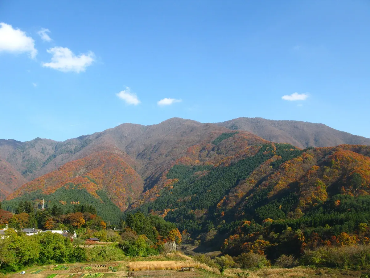
The highest peak in Aizuwakamatsu City, featuring protected cypress forests and ancient radiolarian fossils within a prefectural natural park.
What it is
- The highest mountain peak in Aizuwakamatsu City at 1,415.9 meters above sea level.
- A designated nature conservation area protecting natural forests of Hinoki cypress.
- Part of the Okawa Hatori Prefectural Natural Park on its western side.
- A geological site where radiolarian fossils were discovered in the surrounding layers.
What to see
- Natural forests of Hinoki cypress protected by Fukushima Prefecture since 1977.
- A first-class triangulation point located at the mountain summit.
- Views of the nearby Okawa Dam and Wakasato Lake from the area.
- Four distinct hiking trailheads including the Kuragawa and Kuwabara routes.
When to go
- The official mountain opening ceremony takes place annually in mid-June.
08
Mount Nekomagadake
FUKUSHIMA · PLACE 猫魔ヶ岳
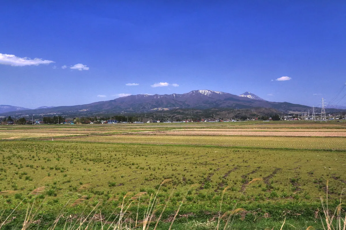
A 1,403-meter volcanic peak offering historic ascetic trails, a unique rock formation, and access to a protected marshland.
What it is
- A 1,403.6-meter peak forming part of the ancient Nekomaga Volcano caldera rim.
- A historical site formerly used for Shugendo ascetic mountain training.
- The mountain borders Bandai Town and Kitashiobara Village in the Ou Mountains.
- The slopes currently host the Alts Bandai and Urabandai Nekoma ski resorts.
What to see
- The Nekoishi rock formation located on the western peak of the mountain.
- A first-class triangulation point marking the summit of the peak.
- The Oguni-numa Marshland Plant Community, which is a National Natural Monument.
- Hiking trails connecting the summit to the nearby Oguni-numa Pond area.
Getting there
- Access the mountain via the Happodai trailhead which provides parking for 60 cars.
09
Mount Arakai
FUKUSHIMA · PLACE 荒海山
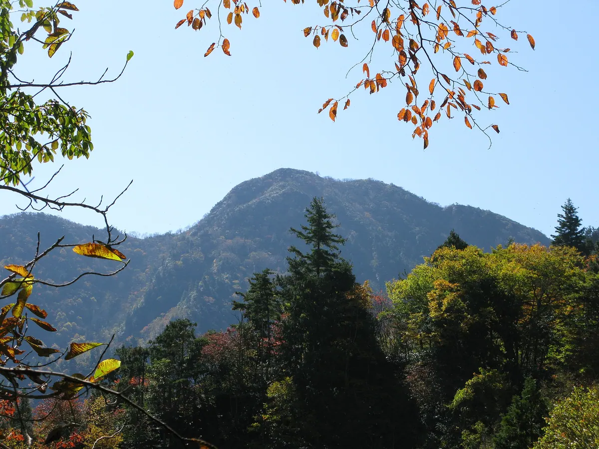
A 1,581-meter peak on the central watershed offering 360-degree views and alpine flowers along the Fukushima-Tochigi border.
What it is
- A 1,581-meter mountain located on the border of Fukushima and Tochigi prefectures
- Part of the Taishaku Mountain Range sitting on the central watershed
- Known locally as Tarodake within the borders of Tochigi Prefecture
- The summit area is composed of sandstone, slate, and granite
What to see
- A 360-degree panoramic view of the surrounding mountain ranges from the summit
- The ruins of the Yasō Mine located at the Fukushima mountain base
- Azuma shakunage and Iwakamami flowers blooming near the peak
- Former sites of copper, zinc, lead, and iron sulfide production
Getting there
- The trailhead starts at the Yasō Mine entrance in Fukushima
- The trailhead is 5.5 kilometers from Aizu-Kogen Ozeguchi Station
10
Mount Iimori
FUKUSHIMA · PLACE 飯盛山
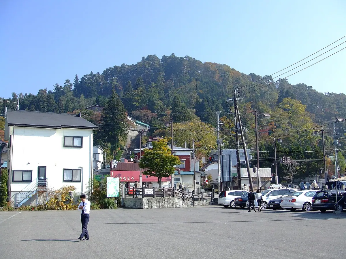
A historic mountain in Aizuwakamatsu featuring the Byakkotai graves, a unique double-helix temple, and significant samurai history.
What it is
- A 314-meter mountain serving as a memorial site for nineteen Byakkotai warriors.
- The location where young samurai committed ritual suicide during the Boshin War.
- A nationally registered monument containing a burial area and a memorial museum.
- The birthplace of souvenir wooden swords in Japan.
What to see
- The graves of the nineteen Byakkotai warriors at the burial site.
- Sazaedo temple, a National Important Cultural Property built in 1796.
- The Ishibe Sakura, a designated city natural monument.
- The Byakkotai Memorial Museum which houses historical artifacts.
- A paid slope conveyor that carries visitors to the top of the mountain.
Getting there
- Accessible by bus from Aizuwakamatsu Station.
11
Mount Shinobu
FUKUSHIMA · PLACE 信夫山
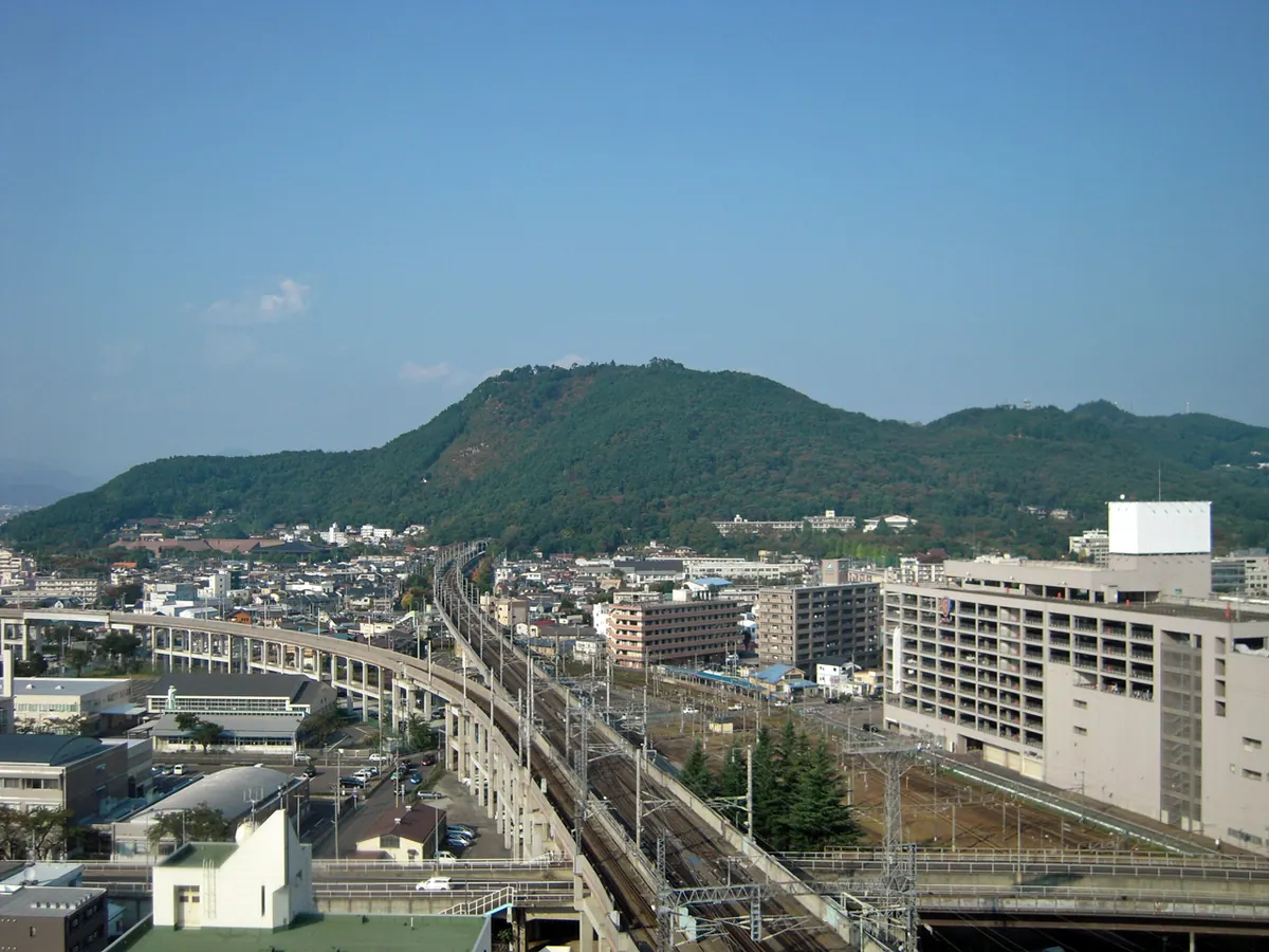
A 275-meter mountain park in Fukushima City featuring historic shrines, ten thousand cherry trees, and a massive straw sandal tradition.
What it is
- A 275-meter high mountain park officially authorized in 1874.
- The site contains Haguro Shrine and Gukoku Shrine.
- The mountain served as the location for a secret underground aircraft engine factory in 1945.
- This location inspired the song Sanpo from the film My Neighbor Totoro.
What to see
- Ten thousand cherry trees planted across the mountain slopes.
- A twelve meter long straw sandal offered at the shrine.
- The Tohoku Shinkansen tunnel which runs directly under the mountain.
- The outer circumference of the park measuring seven kilometers.
When to go
- Visit in February to see the offering of the giant straw sandal.
- Spring is the reference point for cherry blossom blooming in the region.
12
Mount Azuma-kofuji
FUKUSHIMA · PLACE 吾妻小富士
An active volcano in Fukushima featuring a massive crater accessible via a short hike from the scenic Bandai-Azuma Skyline road.
What it is
- An active volcano standing at an elevation of 1,707 meters in Fukushima City
- Originally named Suribachiyama, it features a large bowl-shaped volcanic crater
- The crater has a diameter of approximately 450 meters
What to see
- A 1.5 kilometer walking path that circles the entire rim of the crater
- Spring snow patterns on the slope that resemble a rabbit
- Panoramic views from the trailhead located at an elevation of 1,600 meters
When to go
- Springtime to see the snow rabbit which signifies the start of farming season
Getting there
- Accessible by car or bus via the Bandai-Azuma Skyline road
- A ten minute climb from the Jododaira parking lot leads to the crater rim
13
Mount Nishiazuma
FUKUSHIMA · PLACE 西吾妻山
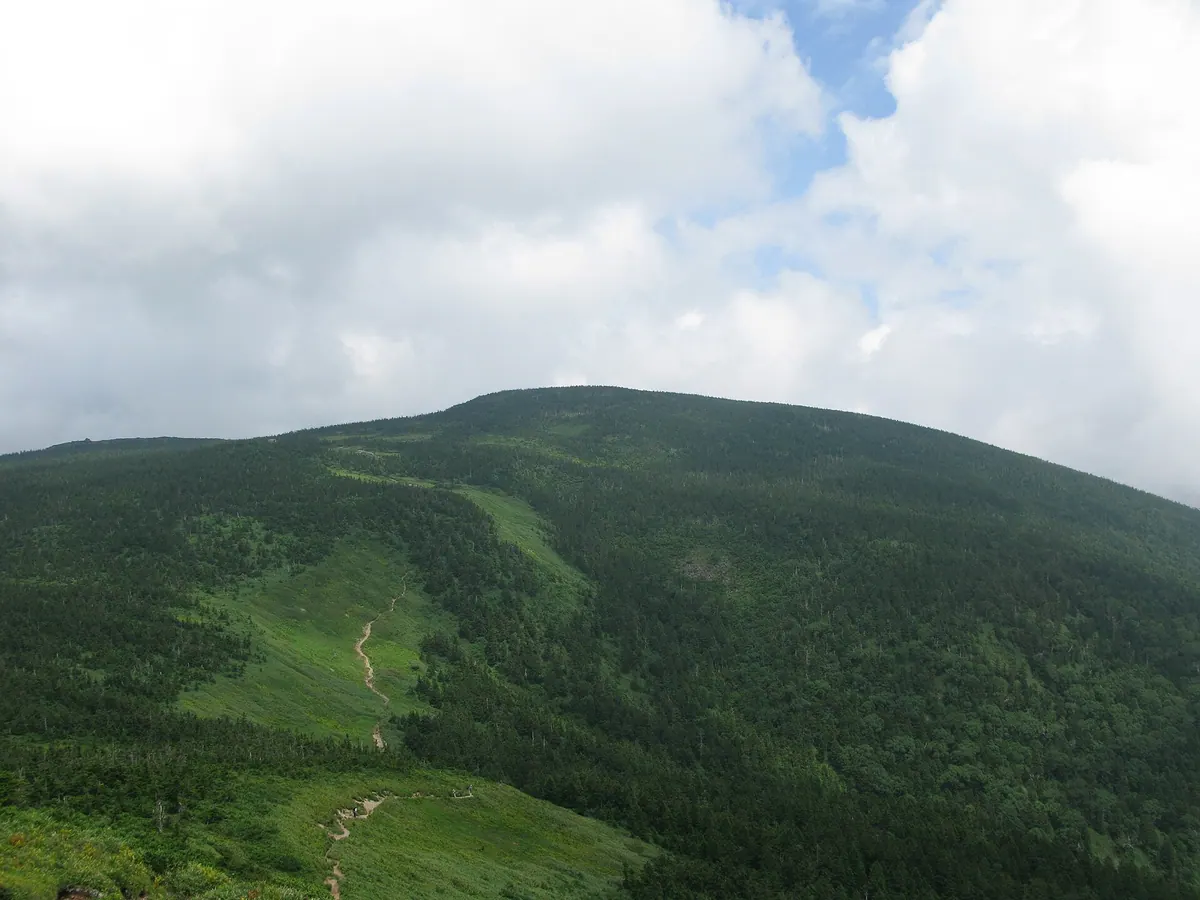
The highest peak in the Azuma range, offering subalpine forests and historic shrine sites within Bandai-Asahi National Park.
What it is
- The highest peak in the Azuma mountain range at 2,035 meters elevation.
- A stratovolcano located on the border of Yamagata and Fukushima prefectures.
- Part of the Bandai-Asahi National Park featuring subalpine coniferous forests.
- A historical site for Shugendo mountain asceticism practitioners.
What to see
- A volcanic crater located at the summit of the mountain.
- Azuma Shrine situated at the Tengu Iwa rock formation north of the summit.
- Dense subalpine coniferous forests covering the slopes above 1,400 meters.
- The unmanned Nishiazuma Hut which provides shelter for up to 40 people.
Getting there
- Access the mountain via a gondola lift from the Grandeco Snow Resort.
14
Nanatsugatake
FUKUSHIMA · PLACE 七ヶ岳
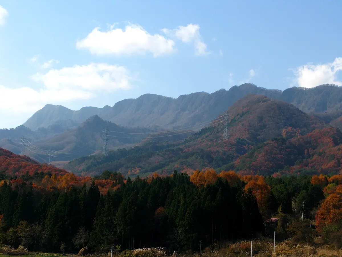
A 1,635-meter peak in Fukushima featuring seven connected ridges and dramatic cliffs, listed among Japan's 300 Famous Mountains.
What it is
- A mountain in Minamiaizu reaching an elevation of 1,635.8 meters
- Listed as one of the 300 Famous Mountains in Japan
- Named for the seven distinct peaks connected along its main ridge
- Composed of dacitic welded tuff with a first-class triangulation point
What to see
- A 200-meter cliff running along the southeastern face of the mountain
- Native beech forests growing throughout the mountain area
- Rhododendron brachycarpum flowers found near the summit
- Panoramic views from the seven peaks along the ridge line
Getting there
- The hike from the Takatsue trailhead takes approximately 2.5 hours
- Access via the Tashiro course is currently restricted due to storm damage
15
Kamakura Dake
FUKUSHIMA · PLACE 鎌倉岳
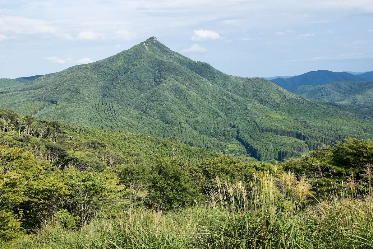
A 967-meter peak in the Abukuma Highlands offering panoramic views and a historic stone shrine at the summit.
What it is
- A 967-meter mountain located in the central Abukuma Highlands of Fukushima.
- One of the 100 Famous Mountains of Tohoku with six different hiking trails.
- The summit features a stone shrine dedicated to Amenohiwashi.
- A peak distinguished by a third-class triangulation point at the top.
What to see
- Panoramic views of Mount Otakine and Mount Adatara from the summit.
- The Amenohiwashi Shrine stone structure located at the highest point.
- Diverse terrain across six different climbing routes to the peak.
- Facilities including a parking lot and restrooms at the Hagidaira course trailhead.
When to go
- Allow one to 1.5 hours for the ascent from the trailheads.
16
Mount Yomogida
FUKUSHIMA · PLACE 蓬田岳
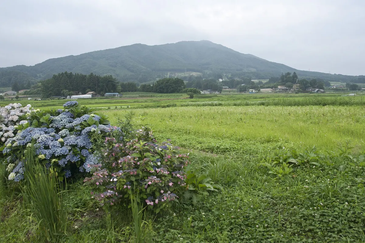
A 952-meter peak in the Abukuma Highlands offering panoramic views of the Pacific Ocean and Mount Fuji from the summit.
What it is
- A 952-meter mountain in the Abukuma Highlands also known as Hirata Fuji.
- One of the 100 Famous Mountains of Tohoku bordering Hirata, Sukagawa, and Koriyama.
- Home to Sugafune Shrine which enshrines Yamato Takeru and Sarutahiko no Mikoto.
- A hiking destination where climbers reach the summit in 90 to 120 minutes.
What to see
- Sugafune Shrine located on the mountain slopes.
- A digital terrestrial television relay station standing at the summit.
- A first-class triangulation point marking the peak.
- Panoramic views of the Pacific Ocean and Mount Fuji from the top.
Getting there
- Bus services run from Koriyama Station directly to the mountain trailheads.
17
Mount Bandai
FUKUSHIMA · PLACE 磐梯山
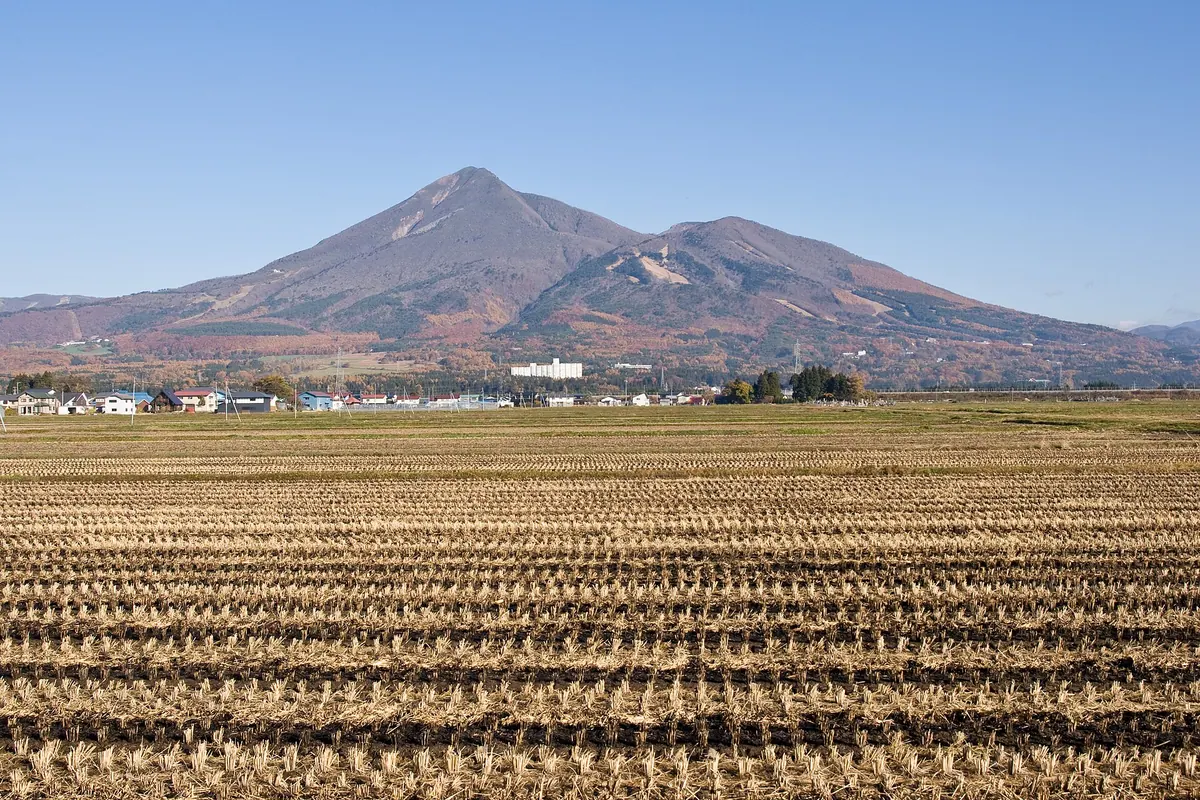
An active stratovolcano in Fukushima offering scenic hiking trails and views of lakes formed by a massive 1888 eruption.
What it is
- An active stratovolcano standing 1,816 meters tall in Bandai-Asahi National Park.
- One of Japan's 100 Famous Mountains, also known as Aizu-Fuji.
- A certified Japanese Geopark and one of the country's top geological sites.
- Site of a major 1888 steam explosion that reshaped the local landscape.
What to see
- Lake Hibara and Goshikinuma, which were created by the 1888 mountain collapse.
- Six main climbing routes leading to the volcanic summit.
- Two mountain huts at Kobo Shimizu selling drinks and souvenirs.
- The popular Happodai trailhead used by many summer hikers.
When to go
- Summer is the primary season for hikers using the Happodai trailhead.
18
Mount Oda
FUKUSHIMA · PLACE 小田山 (福島県)
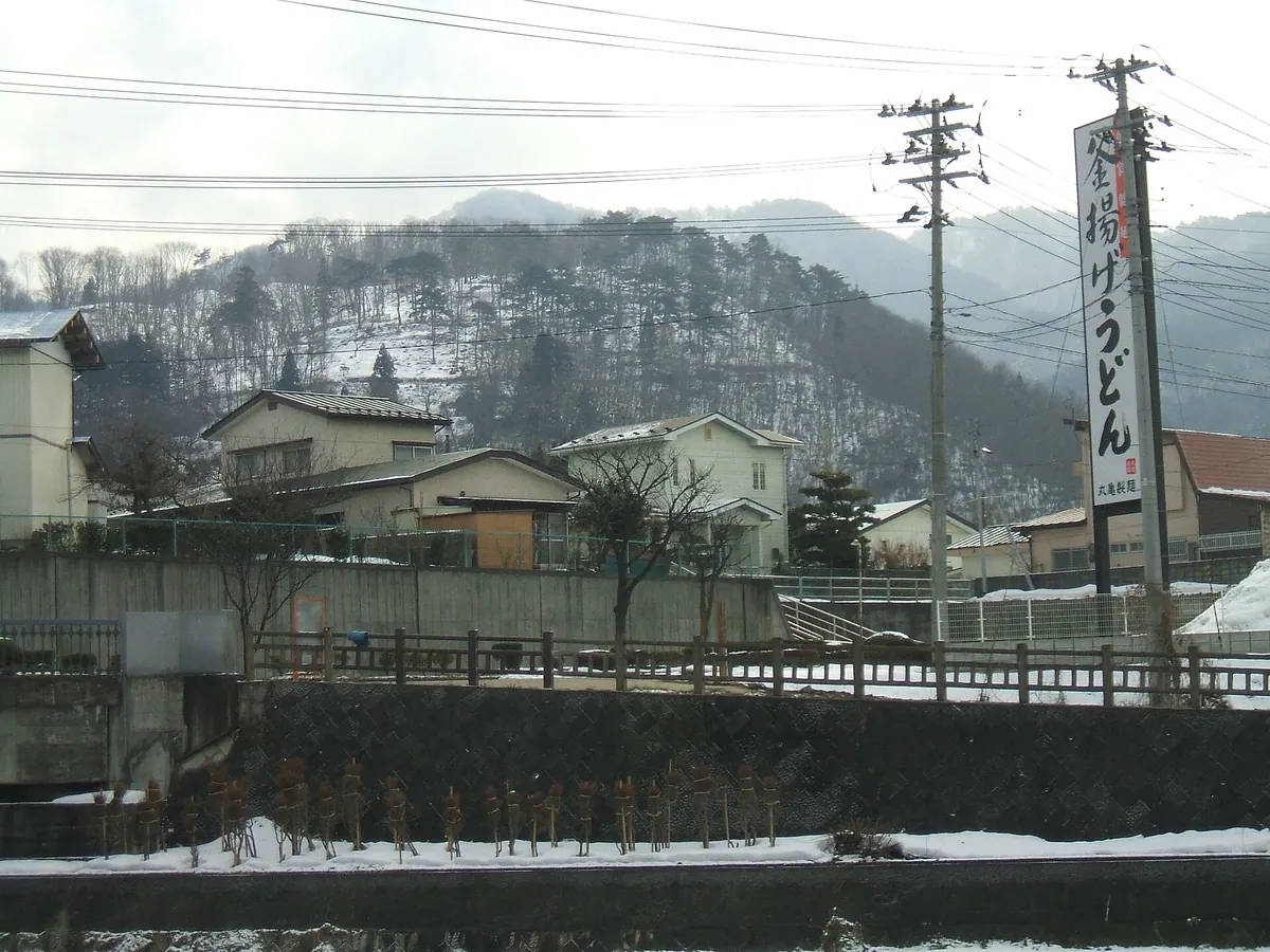
A 372-meter mountain in Aizuwakamatsu featuring historic battle sites, war memorials, and panoramic views of the city and Mount Bandai.
What it is
- A 372-meter mountain located east of the Aizuwakamatsu city center.
- Site of a medieval mountain castle once maintained by the Ashina clan.
- Strategic location used by New Government forces to shell Tsuruga Castle.
- Part of the Inishie to Yume no Mori area containing various historical monuments.
What to see
- Summit views overlooking Aizuwakamatsu City and the distant Mount Bandai.
- The Odayama Chureido which enshrines the remains of war dead.
- The grave of Aizu clan elder Tanaka Harunaka within the mountain cemetery.
- A campground and ski resort situated on the north side of the mountain.
- Nearby landmarks including Zenryu-ji Temple and the Aizu Matsudaira Garden.
19
Mount Azuma
FUKUSHIMA · PLACE 吾妻山
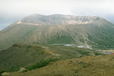
A volcanic mountain range in Bandai-Asahi National Park offering high-altitude hiking, astronomical observation, and scenic road access.
What it is
- A group of volcanoes spanning twenty kilometers across Fukushima and Yamagata prefectures.
- Part of the Bandai-Asahi National Park and listed among the 100 Famous Japanese Mountains.
- A protected forest ecosystem with volcanic activity dating back over one million years.
- The highest peak is Nishiazuma-yama reaching an elevation of 2,035 meters.
What to see
- Jododaira, a flat plateau area situated at 1,580 meters above sea level.
- Mount Issaikyo, the site of the range's historical volcanic eruptions.
- The Jododaira Observatory used for astronomical observation and stargazing.
- The Bandai-Azuma Skyline road which provides scenic access through the mountain range.
20
Mount Ryōzen
FUKUSHIMA · PLACE 霊山
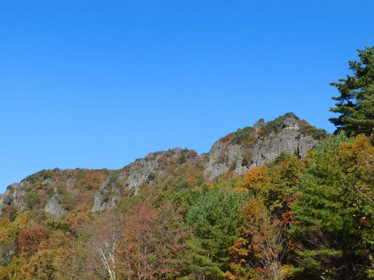
A scenic 825-meter basalt plateau featuring a historic mountain castle site and vibrant autumn colors in the Abukuma Highlands.
What it is
- A basalt lava plateau standing 825 meters high on the border of Date and Soma.
- Founded as a religious site by Ennin in 859 and named after a mountain in India.
- Site of a 14th-century castle that served as the Mutsu provincial capital for the Southern Court.
- Designated as a National Historic Site and a National Place of Scenic Beauty.
What to see
- The historic remains of Ryozen Castle built in 1337.
- Natural rock formations across the plateau within a prefectural natural park.
- Panoramic views from the summit across the Abukuma Highlands.
When to go
- Late October to early November for the peak of the autumn foliage season.