Mount Minako
皆子山
The highest peak in Kyoto Prefecture offers hikers a 971-meter climb through the Tanba Highland on the border of Shiga.
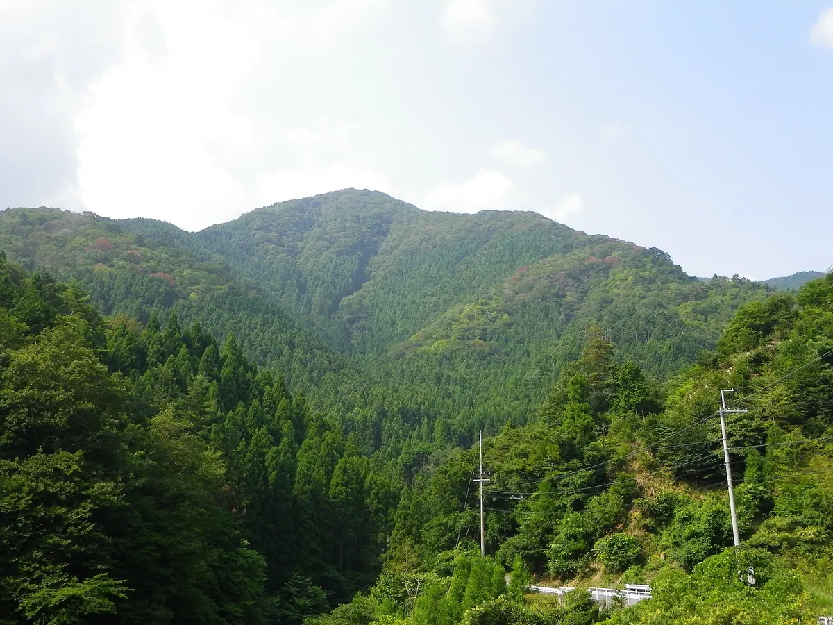
What it is
- The highest peak in Kyoto Prefecture standing at an elevation of 971 meters
- A mountain bordering Sakyo Ward in Kyoto and Otsu in Shiga Prefecture
- Part of the Tanba Highland region and the Hanaore Fault line
- A natural site featuring the Ashio Valley at its northern foot
What to see
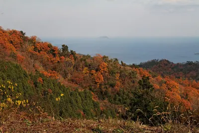
- Views from the highest point in the prefecture across the Tanba Highland
- The Minako Valley flowing from the southern slope of the mountain
- Hiking trails along the eastern ridge and through the Ashio Valley
Getting there
- Kojaka Kotsu buses run from Katata Station to the mountain area
- The Ashio Valley trailhead is accessible from the Sakaguchi bus stop
- The eastern ridge route begins near the Taira bus stop
- A small parking lot is available for visitors near the Taira bus stop
Notes written by Japan Gems from facts in Japanese Wikipedia.
Where it is
Mount Minako Open in Google Maps
この施設の関係者の方へ
このページは公開情報をもとに Japan Gems が作成し、訪日外国人向けに英語で掲載しています。 写真や情報の追加・修正を承っています。お店の写真に差し替えることもできます。
このページの情報を更新する