Mount Shutta
宿弗山
A remote 867-meter peak in Hokkaido offering a rugged hiking experience through dense bamboo grass to a summit monument.
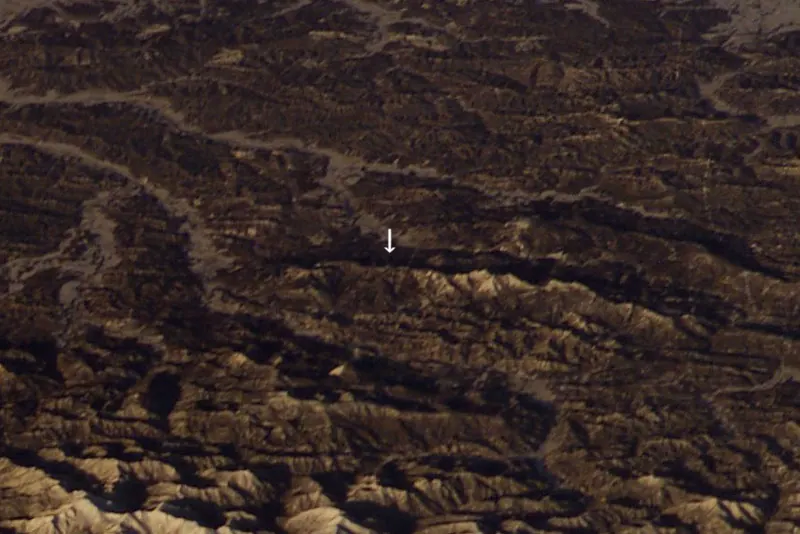
What it is
- A mountain peak standing 867.1 meters tall on a ridge south of Mount Hattaomanai.
- The name originates from the Ainu language and the headwaters of the Shuta River.
- A summit featuring a third-class triangulation point and a peak exceeding 870 meters nearby.
What to see
- A summit monument installed at the highest point of the mountain.
- Dense bamboo grass that climbers must push through to reach the peak.
- Forest roads from Biratori and Mukawa that lead toward the summit area.
Getting there
- Access is typically via the forest roads from the Biratori side.
- Entry through the Mukawa forest roads requires obtaining a permit first.
Notes written by Japan Gems from facts in Japanese Wikipedia.
Where it is
Mount Shutta Open in Google Maps
この施設の関係者の方へ
このページは公開情報をもとに Japan Gems が作成し、訪日外国人向けに英語で掲載しています。 写真や情報の追加・修正を承っています。お店の写真に差し替えることもできます。
このページの情報を更新する