

19 Mountains in Fukuoka worth your time
Japan Gems
19 Mountains in Fukuoka, with what to see and how to get there.
Fukuoka has 19 mountains on Japan Gems. Below are the 19 we can tell you the most about — each one written up in English from Japanese sources, with what to see and how to get there. See all mountains in Fukuoka.
01
Mount Sarakura
FUKUOKA · PLACE 皿倉山
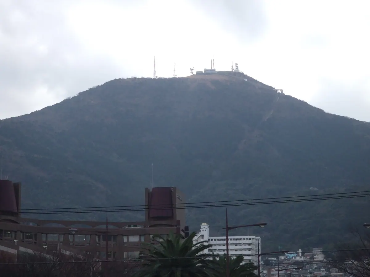
A 622-meter peak in Kitakyushu offering one of Japan's top three night views via cable car and slope car.
What it is
- A 622-meter mountain located within the Kitakyushu Kokutei Koen national park.
- Part of the Hobashira mountain range featuring a visitor center for the natural park.
- A takeoff site for paragliders and a practice location for rock climbers at Kunimi Rock.
- A transmission hub hosting several television and FM radio stations.
What to see
- Panoramic night views from the summit designated as one of the New Three Major Night Views.
- The Empress Cedars which were originally planted during the Edo period.
- A cable car and a slope car system that transport visitors to the summit.
- Kunimi Rock used by local climbers for practice sessions.
When to go
- Visit at night to experience the famous panoramic city views.
- Weekends are ideal to utilize the free shuttle bus service.
Getting there
- Free shuttle buses run from JR Yahata Station on weekends.
02
Mount Kubote
FUKUOKA · PLACE 求菩提山
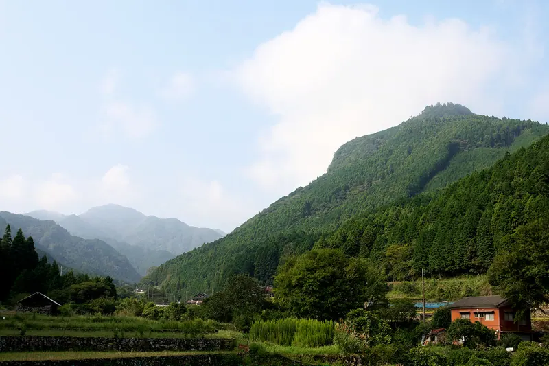
A 782-meter mountain in Fukuoka featuring a historic Shugendo shrine, a massive stone staircase, and national cultural landscapes.
What it is
- A historic site for Shugendo mountain asceticism standing 782 meters tall.
- Part of the Yaba-Hita-Hikosan Quasi-National Park on the border of Buzen and Chikujo.
- A designated national historic site surrounded by an Important Cultural Landscape.
- Home to the Kunitama Shrine Upper Palace located near the mountain summit.
What to see
- A long stone staircase consisting of 850 steps leading up to the shrine.
- The Kunitama Shrine Upper Palace situated near the peak of the mountain.
- National treasures and important cultural property artifacts found on the mountain.
- A museum and a campsite located at the base of the site.
- Rural landscapes designated for their significant cultural and historical value.
Getting there
- Buses run from JR Unoshima Station directly to the mountain trailhead.
- Vehicle access is available near the summit via Fukuoka Prefectural Route 32.
03
Mount Miike
FUKUOKA · PLACE 三池山
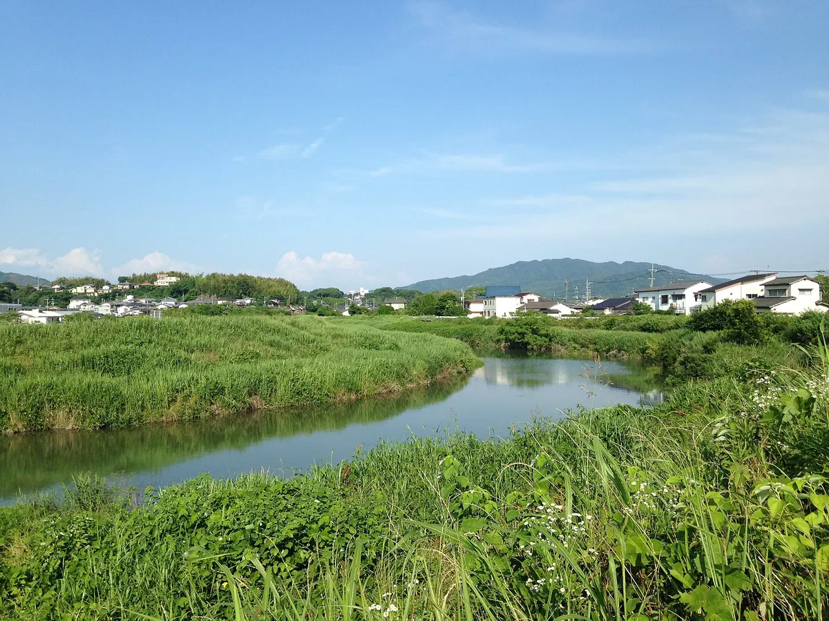
A 388-meter mountain featuring medieval castle ruins, historic ponds, and a temple at the trailhead for a short scenic hike.
What it is
- A mountain standing 388.1 meters tall spanning Omuta City and Nankan Town
- Site of the historic Miike Palace located north of the summit
- Home to three ponds that inspired the local area name
- Location of a medieval mountain castle with remaining stone walls
What to see
- Fukoji Temple situated at the start of the mountain trailhead
- Stone walls belonging to a former medieval mountain castle
- Three historic ponds located near the Miike Palace site
- Panoramic views from the summit reached by a thirty minute walk
When to go
- Visit on New Year's Day to join crowds watching the first sunrise
Getting there
- Take a bus to the Fukoji stop near the trailhead
- Walk five minutes from the Fukoji bus stop to reach the trailhead
- Hike thirty minutes from the trailhead to reach the mountain summit
04
Mount Tenpai
FUKUOKA · PLACE 天拝山
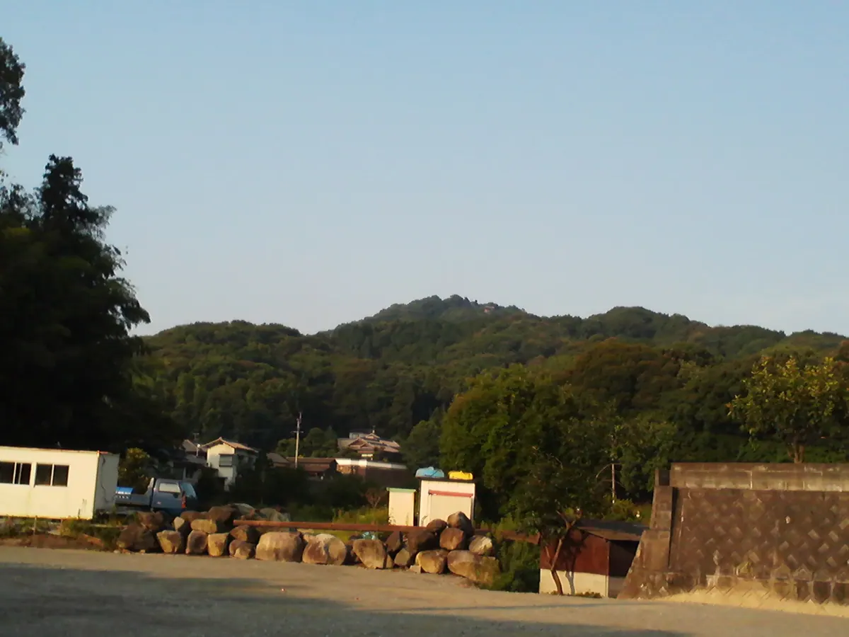
A 257-meter mountain in Fukuoka where a legendary scholar prayed, offering a scenic hike and views over Chikushino City.
What it is
- A mountain standing 257.4 meters tall, formerly known as Mount Tenpan.
- The name comes from Sugawara no Michizane praying to the heavens at this site.
- The mountain features trees planted by Ogawa Kuramitsu during the Edo period.
- This location serves as a setting in the Seicho Matsumoto novel Yakou no Kaidan.
What to see
- Buzoji Temple and Tenpaiyama Historical Park located at the base trailhead.
- Araho Shrine situated halfway up the mountain path.
- Tenpai Shrine located at the mountain summit.
- A steep section of 354 stone steps following the eighth station.
- An observation deck at the summit overlooking Chikushino City.
Getting there
- The trailhead is a 10 to 15 minute walk from Futsukaichi Onsen.
05
Mount Kaya
FUKUOKA · PLACE 可也山
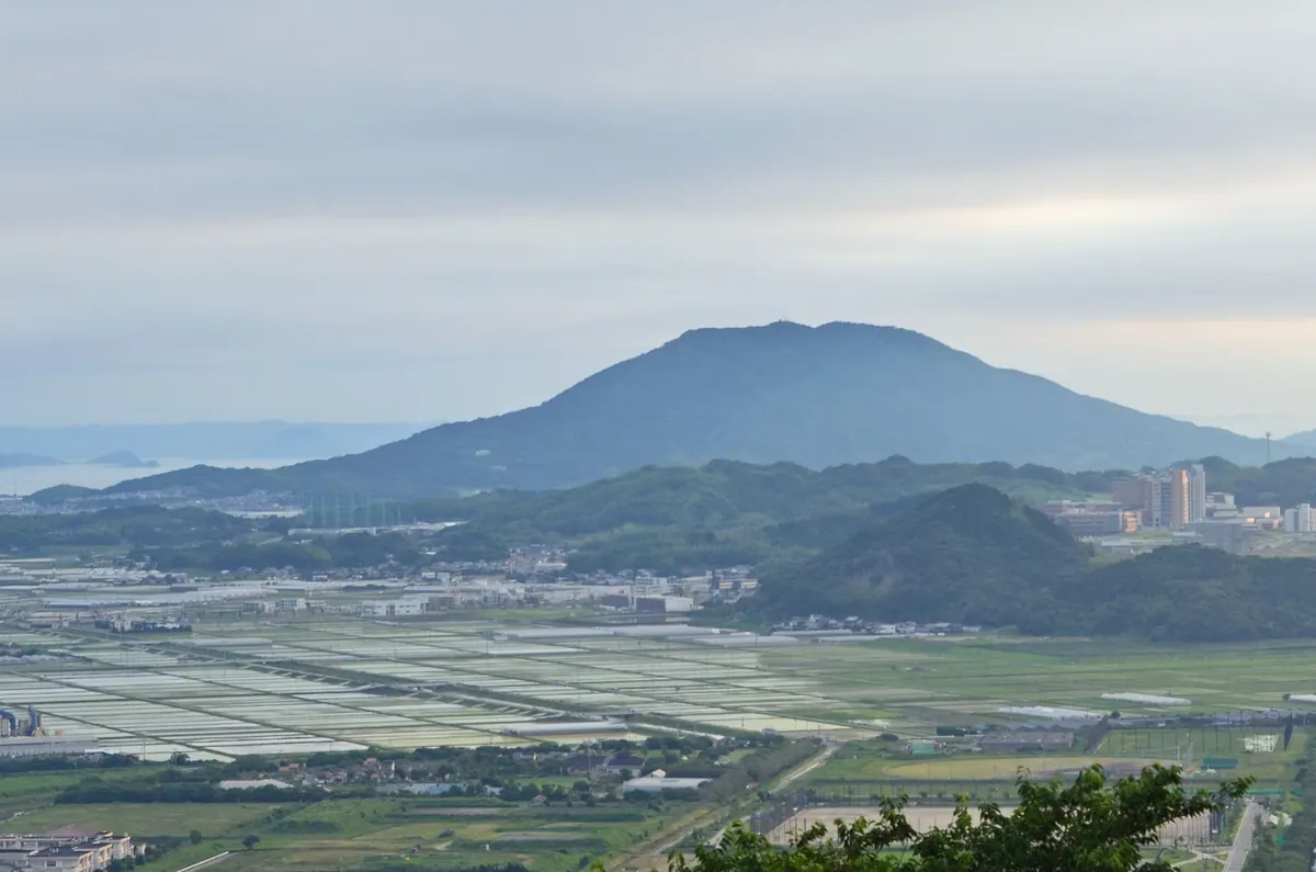
A 365-meter peak known as Itoshima Fuji, offering a one-hour hike to views of the western Itoshima Peninsula.
What it is
- A 365-meter mountain also known as Tsukushi Fuji or Itoshima Fuji.
- The mountain body consists mostly of granodiorite stone.
- Site of a former quarry used by the Fukuoka Domain.
- Stone from this mountain was used to build the Nikko Toshogu stone torii.
What to see
- An observation deck located 200 meters northwest of the summit.
- A third-class triangulation point at the highest peak.
- Digital television and FM radio relay stations at the summit.
- Remains of a historical quarry on the mountainside.
- Panoramic views of the Itoshima Peninsula from the top.
When to go
- Allow approximately one hour to reach the summit via climbing routes.
- Daylight hours are best for using the Moriyoshi or Kofuji trails.
06
Jō Yama
FUKUOKA · PLACE 城山 (宗像市・岡垣町)
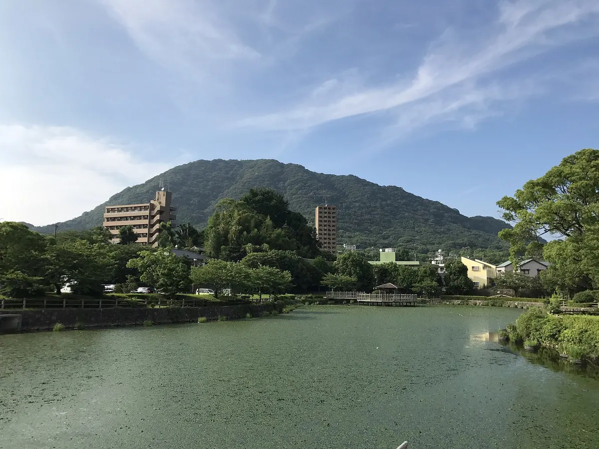
A 369-meter mountain featuring historical castle ruins, a prayer station, and diverse plant life on the border of Munakata and Okagaki.
What it is
- A 369.3 meter mountain bordering Munakata City and Okagaki Town
- The former site of Tsutagatake Castle and the original location of Tsuta Shrine
- One of the Munakata Yotsuzuka peaks marking a cultural boundary in Fukuoka
- A destination for local school field trips and hikers
What to see
- An Okinoshima prayer station located at the mountain summit
- Stone lanterns and monuments standing at the peak
- The ruins where Tsutagatake Castle once stood
- Diverse plant life marking the northern or southern growth limits for many species
Getting there
- Thirteen minute walk from Education-dai-mae Station to the area
- Trailheads are accessible from the Saburomaru and Akama districts
07
Mount Kodaiji
FUKUOKA · PLACE 孔大寺山
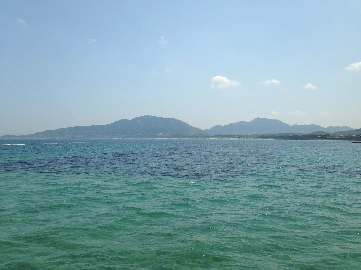
A 499-meter volcanic peak and ancient ascetic training ground featuring a historic shrine and a 300-year-old protected ginkgo tree.
What it is
- The highest peak of the Munakata Yotsuzuka range at 499 meters tall.
- A mountain opened in 701 by En no Gyoja for Yamabushi ascetic training.
- A site formed originally from underwater volcanic eruptions on the border of Munakata.
- Home to Kodaiji Shrine which honors the deities Onamuchi no Mikoto and Sukunabikona no Mikoto.
What to see
- Kodaiji Shrine located at the eighth station of the mountain ascent.
- A steep stone staircase consisting of 800 steps leading to the shrine.
- A 300-year-old ginkgo tree designated as a prefectural natural monument.
- Remains of former Yamabushi residences situated at the foot of the mountain.
- Mountain trails connecting the peak to Mount Kanayama and Mount Yukawa.
08
Hagane Yama
FUKUOKA · PLACE 羽金山
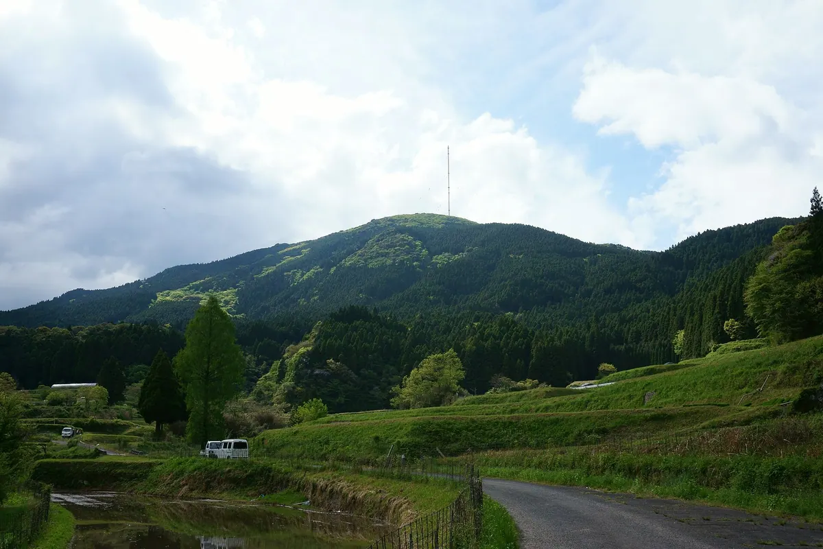
A 900-meter peak in the Sefuri range featuring a major radio transmitting station and seasonal wildflower colonies.
What it is
- A mountain peak standing 900 meters high on the Fukuoka and Saga prefecture border.
- Home to the Hagane-yama Standard Radio Transmitting Station which began operations in 2001.
- The site previously hosted the Maebaru Decca Station until its closure in 1999.
- A mountain belonging to the Sefuri range with a summit located inside Saga Prefecture.
What to see
- The large radio transmitter station located near the summit of the mountain.
- A second-class triangulation point marking the highest area of the peak.
- Colonies of Tsukushi Shojobakama flowers that grow in the local area.
When to go
- Weekdays are the only time visitors can enter the site with prior permission.
09
Mount Abura
FUKUOKA · PLACE 油山
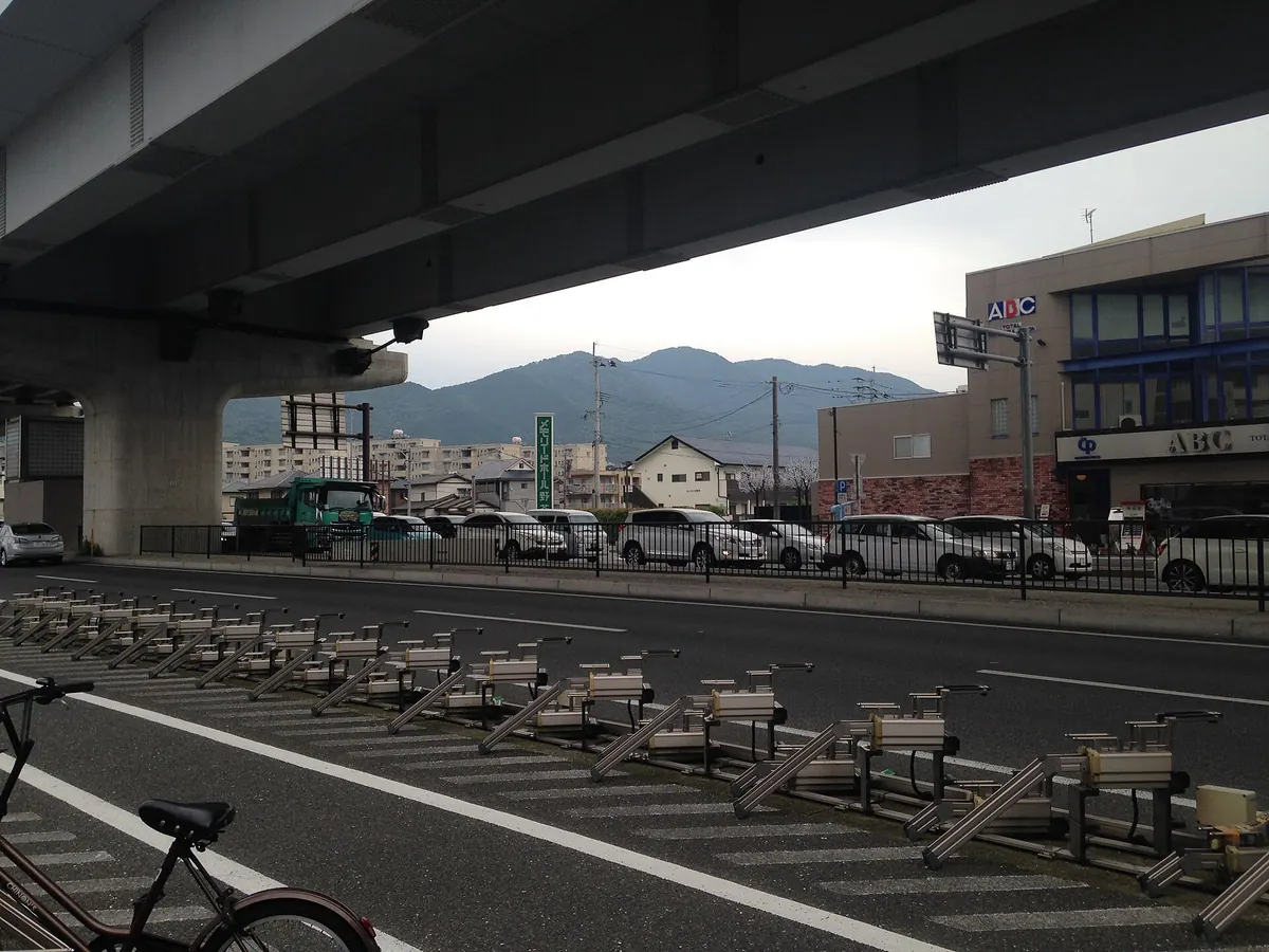
A 597-meter mountain in Fukuoka offering historical temple sites, ancient ruins, and a memorial to World War II history.
What it is
- A mountain standing 597 meters tall spanning three wards in Fukuoka City.
- Named for oil production by Seiga Shonin during the Tenpyo era.
- Site of the 1945 Aburayama Incident involving American prisoners of war.
- Home to the Kashihara ruins where Yayoi period stone axes were discovered.
What to see
- Shogaku-ji Temple located on the mountain slopes.
- A memorial monument established by former Mayor Genzo Abe.
- The ABURAYAMA FUKUOKA facility situated near the mountain.
- Views of the surrounding Jonan, Sawara, and Minami wards.
Getting there
- Accessible via a fifteen minute drive from the Tenjin district.
- Reached by traveling along the Aburayama Kanko Road.
10
Mount Hōman
FUKUOKA · PLACE 宝満山
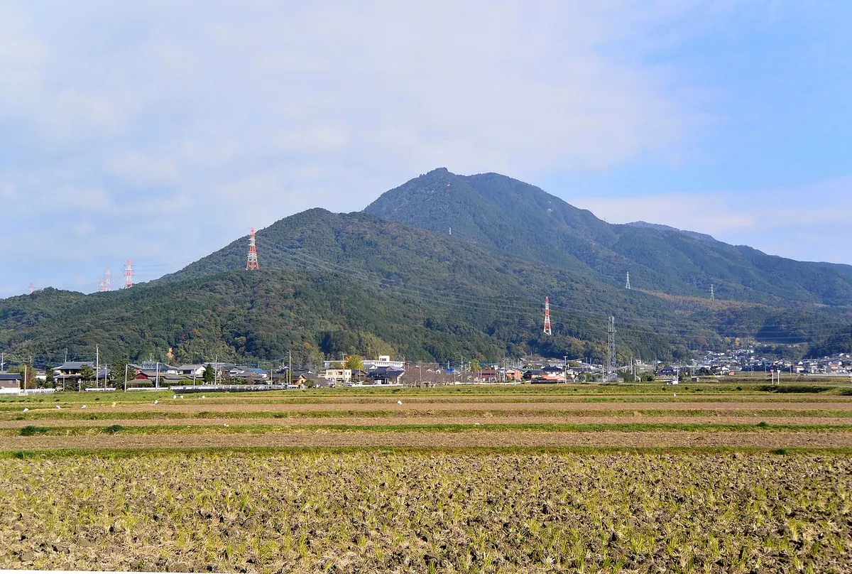
A sacred granite peak featuring a mountaintop shrine, historic castle ruins, and panoramic views over Fukuoka and Hakata Bay.
What it is
- A granite mountain standing 829.6 meters high in Fukuoka Prefecture.
- A sacred site for Shugendo practitioners also known as Mikasayama or Kamadoyama.
- The location of the Kamado Shrine upper sanctuary and medieval castle ruins.
- A designated national historic site that serves as the source for the Mikasa River.
What to see
- The upper sanctuary of Kamado Shrine located at the mountain summit.
- Panoramic views stretching from Hakata Bay to Mount Unzen.
- Rocks used to create the hand-washing basin at Dazaifu Tenmangu.
- Large migrations of toads moving toward the peak.
When to go
- Visit during May to witness the annual migration of toads toward the summit.
11
Mount Kōra
FUKUOKA · PLACE 高良山
A 312-meter peak in Kurume featuring an ancient shrine, historic castle ruins, and a protected bamboo forest.
What it is
- A mountain in Kurume City reaching an elevation of 312.3 meters.
- A strategic military site used by Prince Kaneyoshi and Toyotomi Hideyoshi.
- Home to Kōra Taisha Shrine and ancient mountain castle ruins.
- The location for a traditional 5.6km run performed by Self-Defense Force candidates.
What to see
- Kōra Taisha Shrine located on the mountainside.
- A stone torii gate designated as a national important cultural property.
- The Mousou Kinmeichiku bamboo forest, a national natural monument.
- Five distinct peaks including the summit of Bishamondake.
- Kurume Forest Azalea Park situated on the mountain.
- Ruins of medieval mountain castles including Yoshimidake Castle.
12
Mount Tamuke
FUKUOKA · PLACE 手向山
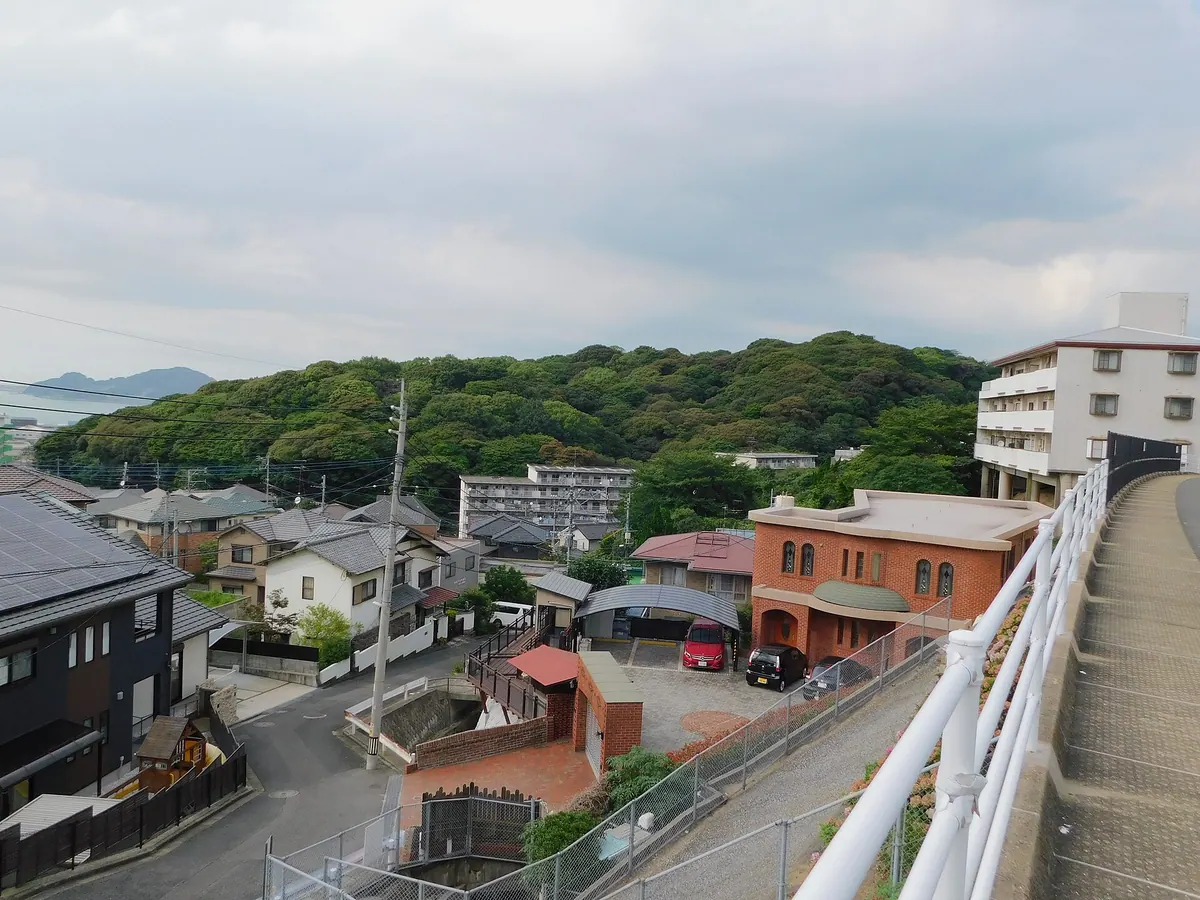
A 76-meter peak featuring monuments to legendary swordsmen and panoramic views of the Kanmon Straits and Ganryujima Island.
What it is
- A 76-meter mountain located on the border of Kokurakita and Moji wards.
- The site of a military battery that was closed to the public from 1887 until 1945.
- A memorial site for the family of Miyamoto Iori who are buried at the mountain foot.
What to see
- The Kokura Monument erected on the summit by Miyamoto Iori in 1654.
- The Sasaki Kojiro Monument built on the summit in 1951.
- Two lighthouses installed on the mountain in 1966.
- Scenic overlooks facing Ganryujima Island and the Kanmon Straits.
- The Tamukeyama Tunnel which was excavated through the mountain in 1942.
When to go
- The Musashi-Kojiro Festival is held annually in April.
13
Mount Kawara
FUKUOKA · PLACE 香春岳
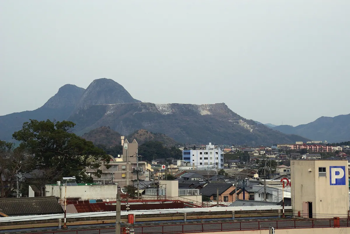
A sacred three-peaked limestone mountain in Fukuoka featuring active mining sites, historical castle ruins, and deep cultural significance.
What it is
- A crystalline limestone mountain consisting of three distinct peaks named Ichinotake, Ninotake, and Sannotake.
- The sacred body of Kawara Shrine and the former site of Kawara Castle.
- A source of high quality white limestone and historical Nara period copper ore.
- The setting for the novel Seishun no Mon and the folk song Tanko Bushi.
What to see
- The highest peak of Sannotake reaching five hundred nine meters above sea level.
- The Ichinotake peak which has been reduced to half its original height by mining.
- Active limestone mining sites used as visual landmarks by fighter pilots.
- The three peaks referenced in the lyrics of the famous Tanko Bushi song.
14
Mount Nuki
FUKUOKA · PLACE 貫山
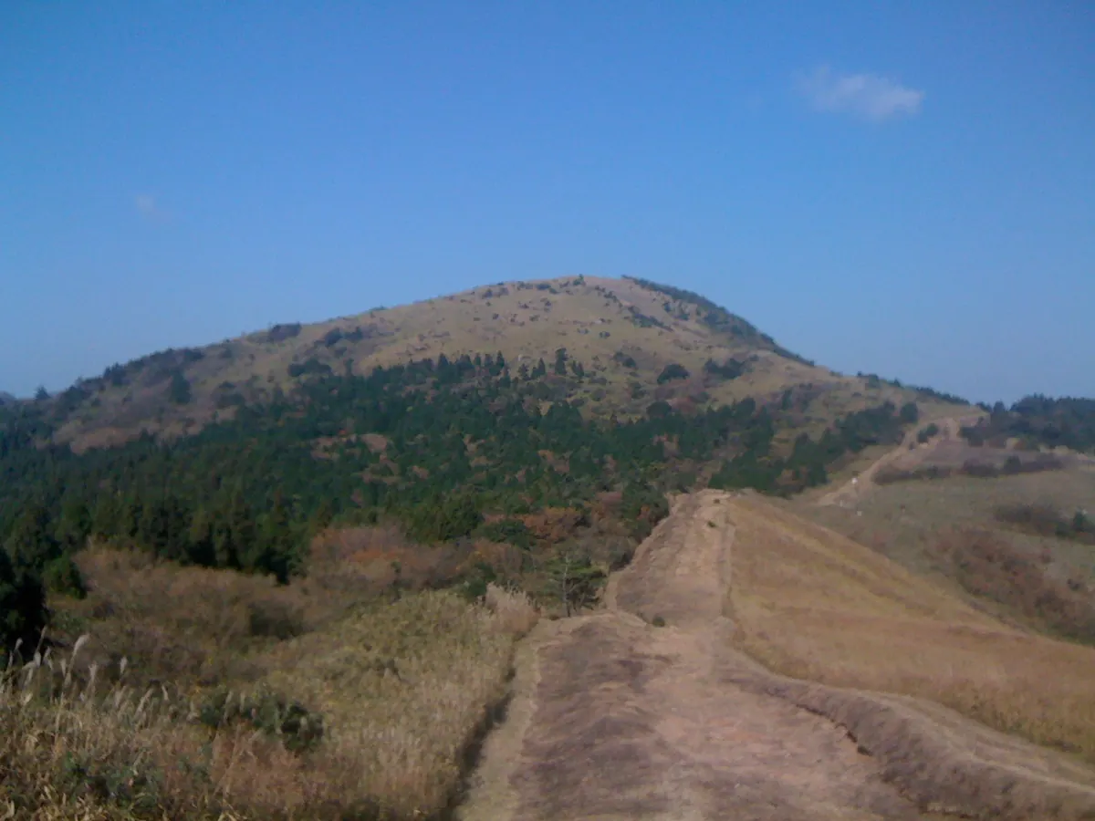
A 712-meter peak in Kitakyushu featuring unique karst landscapes and panoramic views of the Suo Sea.
What it is
- The main peak of the Nuki Mountains standing seven hundred twelve meters high
- A significant part of the Kitakyushu Kokutei Koen quasi-national park
- The northernmost point of the Hiraodai karst plateau
- One of the largest karst plateau regions found in Japan
What to see
- Numerous white limestone rocks scattered across the mountain slopes
- Panoramic views of the Suo Sea from the mountain summit
- Unique geological formations characteristic of a large karst plateau
When to go
- Winter months when snow covers the mountain several times per year
- Clear days to ensure visibility of the Suo Sea from the top
15
Mount Sangun
FUKUOKA · PLACE 三郡山
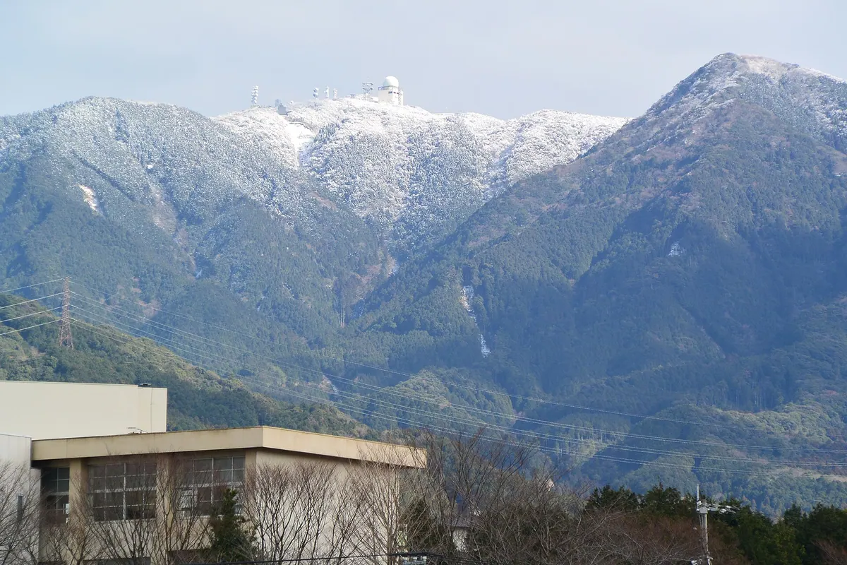
The highest peak in the Sangun Mountains offering hiking trails and views of aviation radar facilities near Fukuoka.
What it is
- The highest peak of the Sangun Mountains reaching an elevation of 935.9 meters.
- A summit bordering Iizuka City, Umi Town, and Chikushino City.
- A key point along the Kyushu Nature Trail for hikers.
- Site of government communication facilities and an aviation surveillance radar.
What to see
- A Fukuoka Airport aviation surveillance radar that has operated since 1973.
- A vertical hiking trail connecting this peak to Mount Wakasugi and Mount Homan.
- Various government and broadcast communication facilities located at the summit.
- A paved management road running from Yuzubaru to the mountain top.
16
Mount Hiko
FUKUOKA · PLACE 英彦山
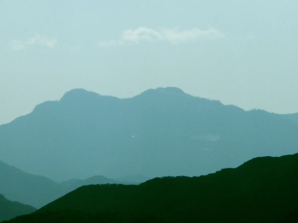
A sacred 1,199-meter peak and national historic site known as one of Japan's three major ascetic training mountains.
What it is
- A 1,199-meter mountain spanning the border of Fukuoka and Oita prefectures.
- One of the three major mountains in Japan used for ascetic training.
- A national historic site located within Yaba-Hita-Hikosan Quasi-National Park.
- The site of Hikosan Jingu Shrine and home to the legendary tengu Buzenbo.
What to see
- The three distinct peaks known as North, Middle, and South peaks.
- Hikosan Jingu Shrine located on the slopes of the mountain.
- An 849-meter slope car that connects the mountain approach to the shrine.
- Gardens on the mountain that are designated as national scenic spots.
17
Kōnosu Yama
FUKUOKA · PLACE 鴻巣山
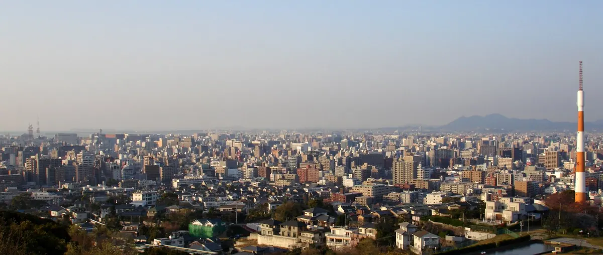
A 100-meter peak in Fukuoka featuring walking trails through protected forests and panoramic views from observation decks.
What it is
- A 100.4 meter mountain designated as a green space conservation area in 1975.
- The site formerly served as a shooting range for the Imperial Japanese Army.
- The mountain currently hosts the main radio transmission tower for FM Fukuoka.
What to see
- Walking paths lined with Lithocarpus edulis forests.
- Observation decks providing views over the surrounding city wards.
- A municipal cemetery and police school located on the northern slope.
- The Takamiya Water Treatment Plant situated on the eastern slope.
- Public toilets located behind Nagaoka Junior High School.
18
Mount Fukuchi
FUKUOKA · PLACE 福智山
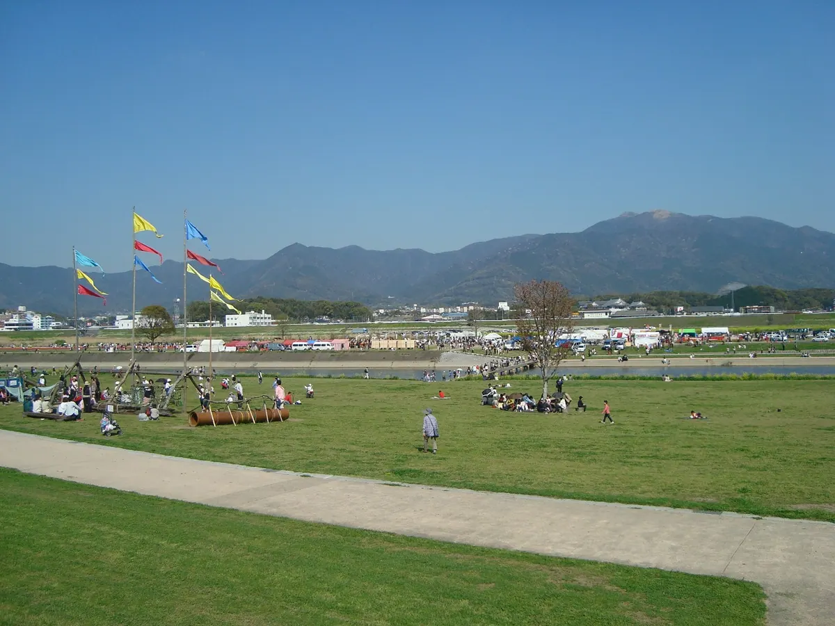
The highest peak in Kitakyushu, offering a protected forest environment and the oldest cherry tree in Fukuoka Prefecture.
What it is
- A mountain standing 900.6 meters above sea level within a Quasi-National Park.
- The highest peak located across Kitakyushu, Nogata, and Fukuchi Town.
- A designated top 100 water source forest and the origin of the Fukuchi River.
What to see
- The Torao-zakura, a 600-year-old cherry tree and the largest in the prefecture.
- Fukuchi Sanroku Flower Park located within the Nogata City area.
- Expansive views from the highest summit in the Kitakyushu region.
When to go
- Late March to early April to see the Torao-zakura cherry tree in bloom.
19
Mount Shiōji
FUKUOKA · PLACE 四王寺山
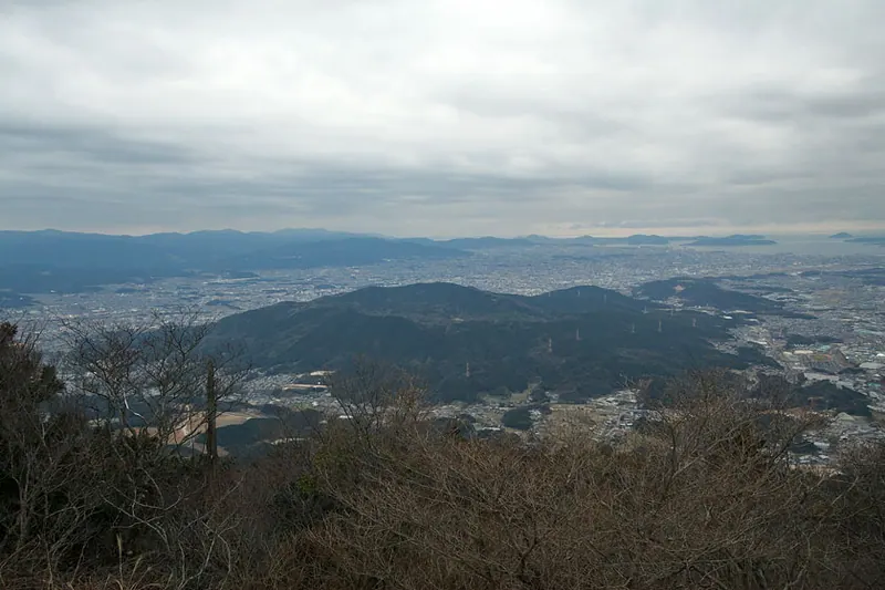
A 410-meter mountain featuring ancient castle ruins, a prefectural forest, and the historic grave of a famous medieval warrior.
What it is
- A mountain spanning Dazaifu, Onojo, and Umi with four distinct peaks.
- Site of Ono Castle established by Emperor Tenji in the year 664.
- Home to the Shioji Prefectural Forest covering 342 hectares of land.
- Named after the four heavenly kings enshrined at a temple built in 774.
What to see
- The highest peak of Mount Ohki reaching 410 meters above sea level.
- Remains of Iwaya Castle located on the mountainside.
- The grave of Takahashi Joun who died at the castle site in 1586.
- A former signal fire station operated by the Fukuoka Domain since 1809.