

20 Mountains in Miyagi worth your time
Japan Gems
25 Mountains in Miyagi, with what to see and how to get there.
Miyagi has 25 mountains on Japan Gems. Below are the 20 we can tell you the most about — each one written up in English from Japanese sources, with what to see and how to get there. See all mountains in Miyagi.
01
Nanatsumori
MIYAGI · PLACE 七ツ森
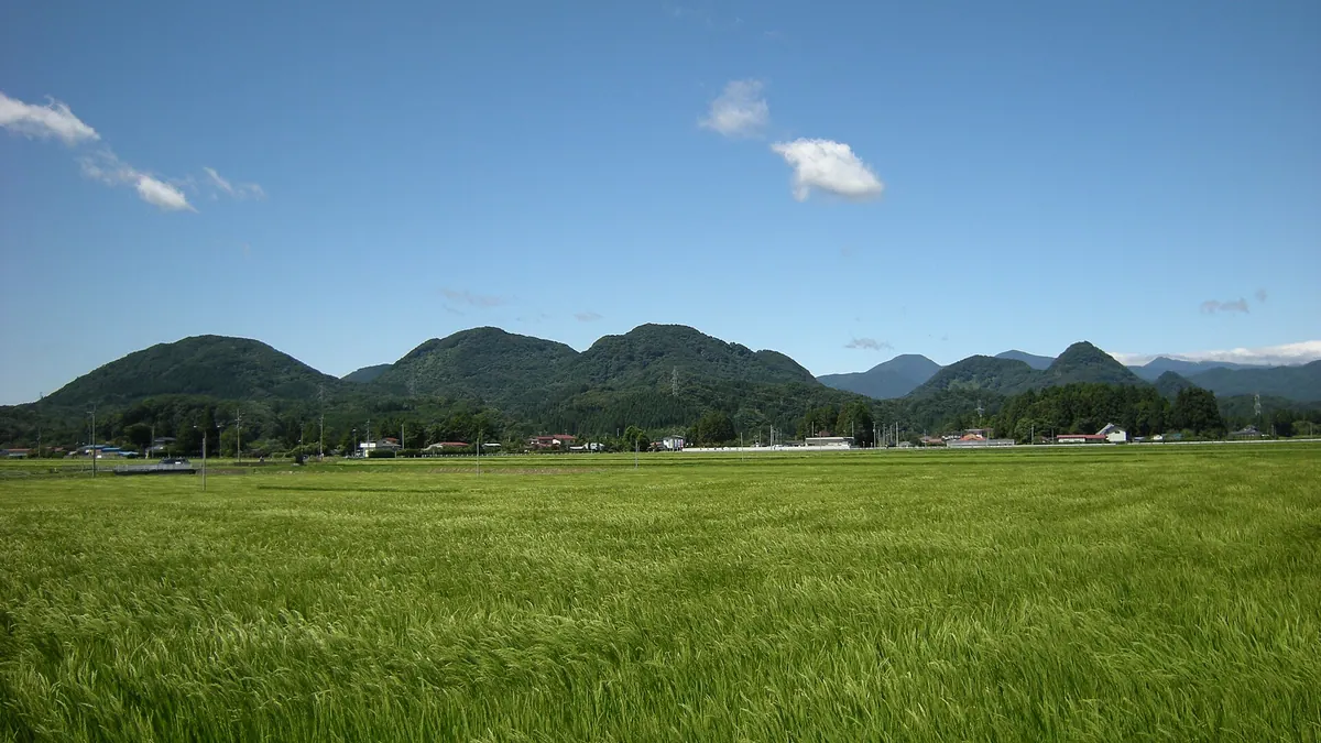
A cluster of seven volcanic peaks in Miyagi offering a challenging hiking trail steeped in local legends and samurai history.
What it is
- A collective group of seven Neogene volcanoes formed approximately 2.5 million years ago.
- The highest peak is Sasakurayama which stands at 507 meters above sea level.
- Legend says the mountains were created by the mythical figure Asahina Saburo.
- The area served as a deer hunting ground for the daimyo Date Masamune.
What to see
- The Nanatsumori Nature Trail provides a maintained route through the mountain range.
- Seven individual mountain shrines dedicated to Yakushi are located across the peaks.
- Geological laccolith formations composed of old andesite rock are visible throughout the area.
- Climbers who complete all seven peaks can receive an official climbing record certificate.
When to go
- The Omori Yakushi Nyorai Festival takes place annually on May 8.
- Visitors can attempt the Seven Yakushi Gake shrine pilgrimage in a single day.
02
Hanganmori
MIYAGI · PLACE 判官森
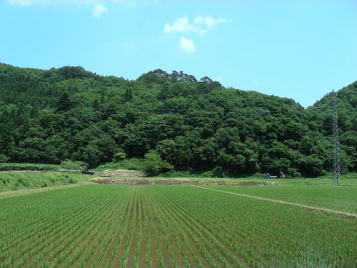
A mountain burial site for the legendary warrior Minamoto no Yoshitsune featuring a pagoda, monuments, and a historic cherry tree.
What it is
- A mountain in Kurihara City believed to be the burial site of Minamoto no Yoshitsune's torso.
- The site is associated with local legends of the warrior escaping to the north.
- Local lore states that Numakura Kojiro Takatsugu buried the body at this location.
What to see
- A five-story pagoda marking the specific burial site of the warrior's torso.
- A stone monument at the summit dedicated to Yoshitsune.
- The Yoshitsune Whip Cherry tree growing at the foot of the mountain.
- Benkeimori, a rocky area located directly above the mountain site.
- A monument for writing brushes at the former Kurikoma Elementary School.
Getting there
- The site is a forty-minute drive from Kurikoma-Kogen Station.
- A farm road behind the JA Kurikko Kurikoma branch leads to the mountain.
- The mountain is a one-hour drive from Hiraizumi Town.
03
Mount Karō
MIYAGI · PLACE 鹿狼山
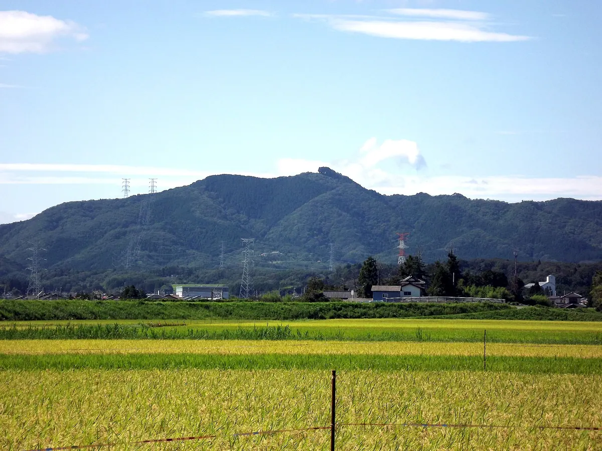
A 429-meter peak in the Abukuma Highlands offering Pacific Ocean views and a summit shrine on the Fukushima-Miyagi border.
What it is
- A 429.3-meter mountain spanning the border of Fukushima and Miyagi prefectures.
- Part of the Abukuma Highlands and one of the 100 Mountains of Fukushima.
- Home to the Karo Shrine located at the summit.
- Selected as one of the 100 Green Landscapes of Fukushima.
What to see
- Panoramic views of the Pacific Ocean from the mountain heights.
- The Karo Shrine situated at the peak of the mountain.
- The Ukon Shimizu spring, a designated famous water source nearby.
- Six main trailheads available for climbing to the summit.
When to go
- New Year's Day for the annual mountain opening ceremony.
- Avoid the Mayumi Shimizu course which is currently closed due to typhoon damage.
Getting there
- A 15-minute drive from Shinchi Station to reach the area.
04
Izumigatake
MIYAGI · PLACE 泉ヶ岳
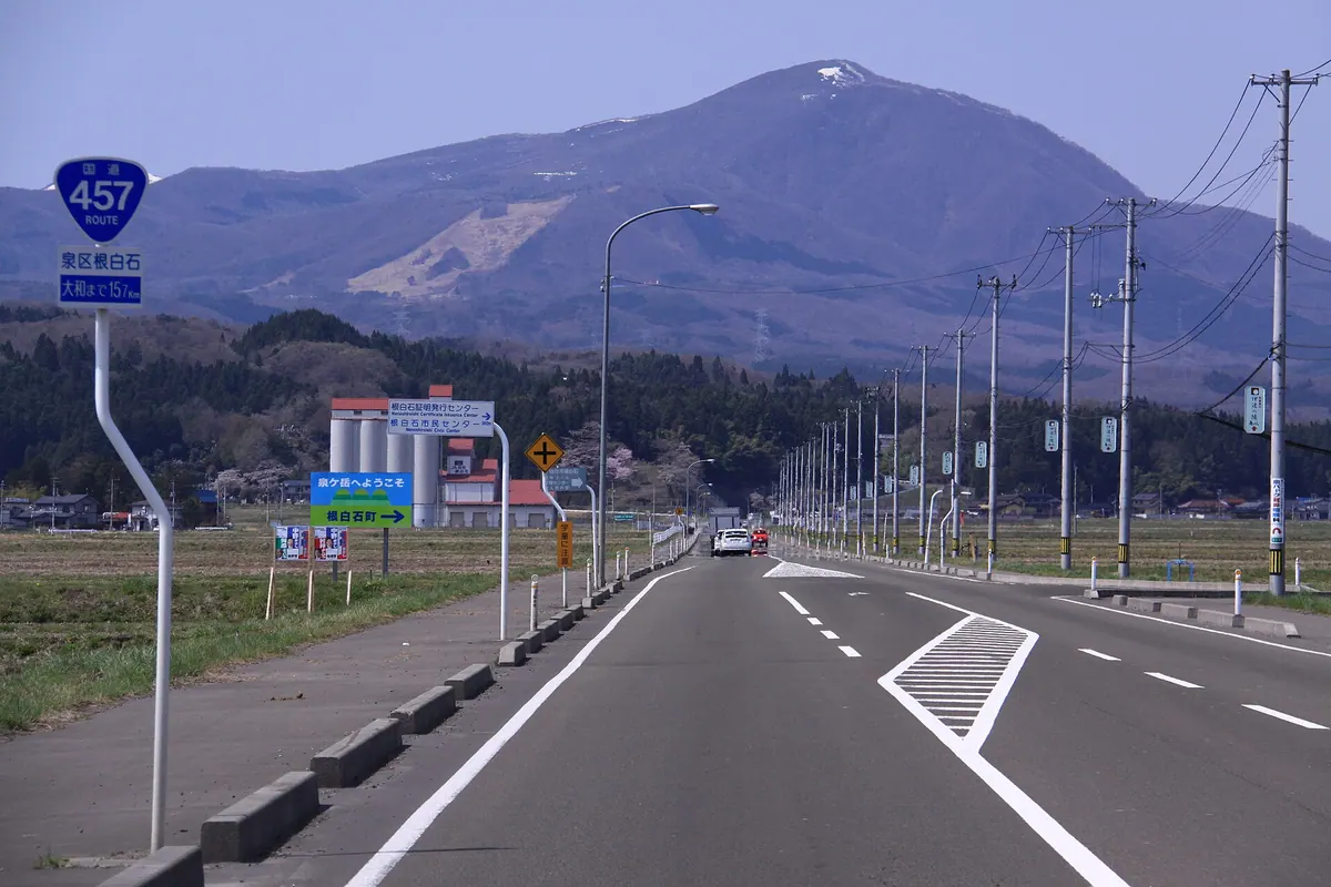
A 1,175-meter conical volcano in Sendai offering five climbing routes, seasonal flowers, and active ski resorts for outdoor enthusiasts.
What it is
- A 1,175-meter-high conical volcano located within the Funagata mountain range in Sendai.
- A vital water source for the Sendai Plain formed during the Quaternary period.
- The summit area has been managed as Sendai city property since 2006.
- Historically served as a site for rainmaking rituals until the year 1933.
What to see
- Five main climbing routes that lead visitors to the mountain summit.
- Native wildlife including Japanese serows, Japanese dormice, and black bears.
- Two active ski resorts located on the mountain slopes.
- A hot spring and camping facility that opened in July 2022.
When to go
- Mid to late April to see the blooming Mizubasho flowers.
Getting there
- Buses run from Izumi-Chuo Station to the Izumitake Nature Center.
05
Ōtaka-mori
MIYAGI · PLACE 大高森
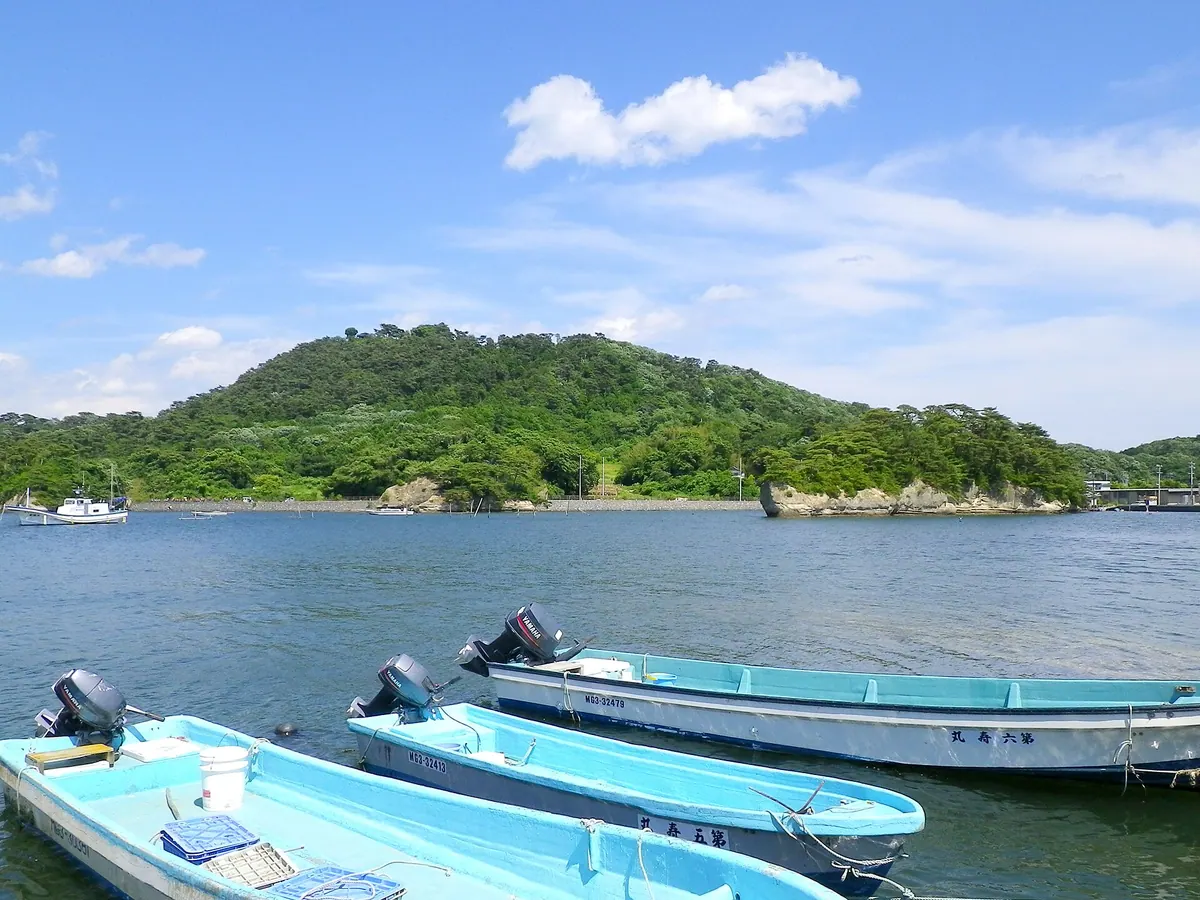
A 106-meter peak on Miyato Island offering panoramic views of Matsushima Bay and the surrounding mountain ranges.
What it is
- The highest mountain on Miyato Island at an elevation of 106 meters
- One of the four famous Matsushima Shidakan viewing points
- A scenic destination overlooking the Urato Islands and Matsushima Bay
What to see
- A monument dedicated to Doi Bansui located at the summit
- The Omoriyama climbing monument situated at the main trailhead
- Views of Mount Zao and Mount Kurikoma during clear weather
- Panoramic vistas of the bay from the top of the fifteen-minute trail
When to go
- Sightseeing boats operate to the area between April and October
Getting there
- Ten minutes by car from Nobiru Station to the site
- Fifteen minutes to walk the main trail to the summit
- East climbing route provides access for visitors traveling by bicycle
06
Mount Kagobō
MIYAGI · PLACE 加護坊山
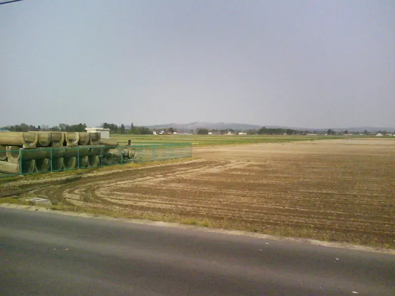
A 223-meter peak in Miyagi featuring a nature park, hot springs, and extensive cherry blossom groves for outdoor relaxation.
What it is
- A 223.2-meter mountain peak located within the Nonodake Hills of Osaki City.
- A recreational site featuring a nature park and a park golf course.
- The location of a digital television relay station and Osaki FM transmitter.
- Home to the Kagobo Onsen Sakura-no-yu hot spring facility.
What to see
- One thousand cherry trees that bloom across the mountain slopes.
- A nature park with views from the 223-meter elevation.
- A park golf course available for a seven hundred yen adult fee.
- The Wakuya digital relay station and broadcasting equipment.
When to go
- Mid to late April to see the one thousand cherry trees in bloom.
- Between 10 AM and 10 PM to visit the hot spring facility.
- Avoid Mondays during the winter season when the nature park is closed.
07
Mount Tatsugane
MIYAGI · PLACE 田束山
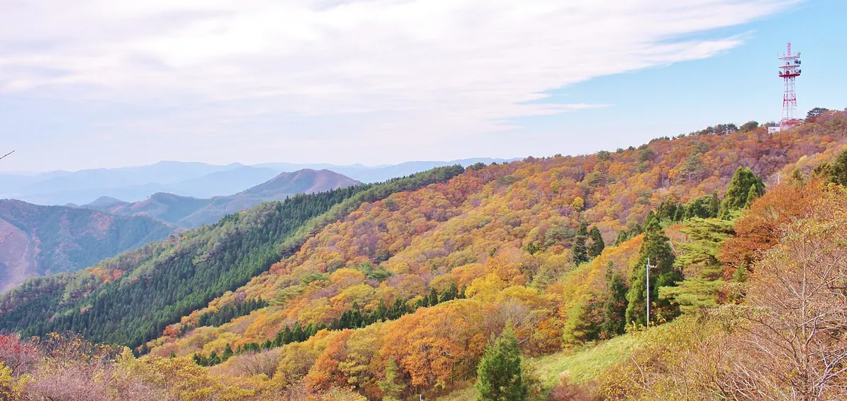
A 512-meter peak in Sanriku Fukko National Park featuring historic temple ruins and panoramic views of the Sanriku Coast.
What it is
- A 512-meter mountain located within the Sanriku Fukko National Park.
- Site of the former Jakkoji Temple established by Fujiwara no Hidehira.
- Historical location where the monk Mankai Shonin entered to become a mummy.
- A religious site where excavations have uncovered multiple ancient sutra mounds.
What to see
- Panoramic views of the Sanriku Coast from the mountain peak.
- Fifty thousand azaleas that bloom across the landscape.
- Arasawa Fudoson which enshrines a statue attributed to Jikaku Daishi.
- The Hinokuchi area where monks historically lit torches for entry.
- Remains of seventy temple buildings and monk quarters built by the Fujiwara clan.
When to go
- Visit during May to see the fifty thousand azaleas in bloom.
08
Mount Tokusenjō
MIYAGI · PLACE 徳仙丈山
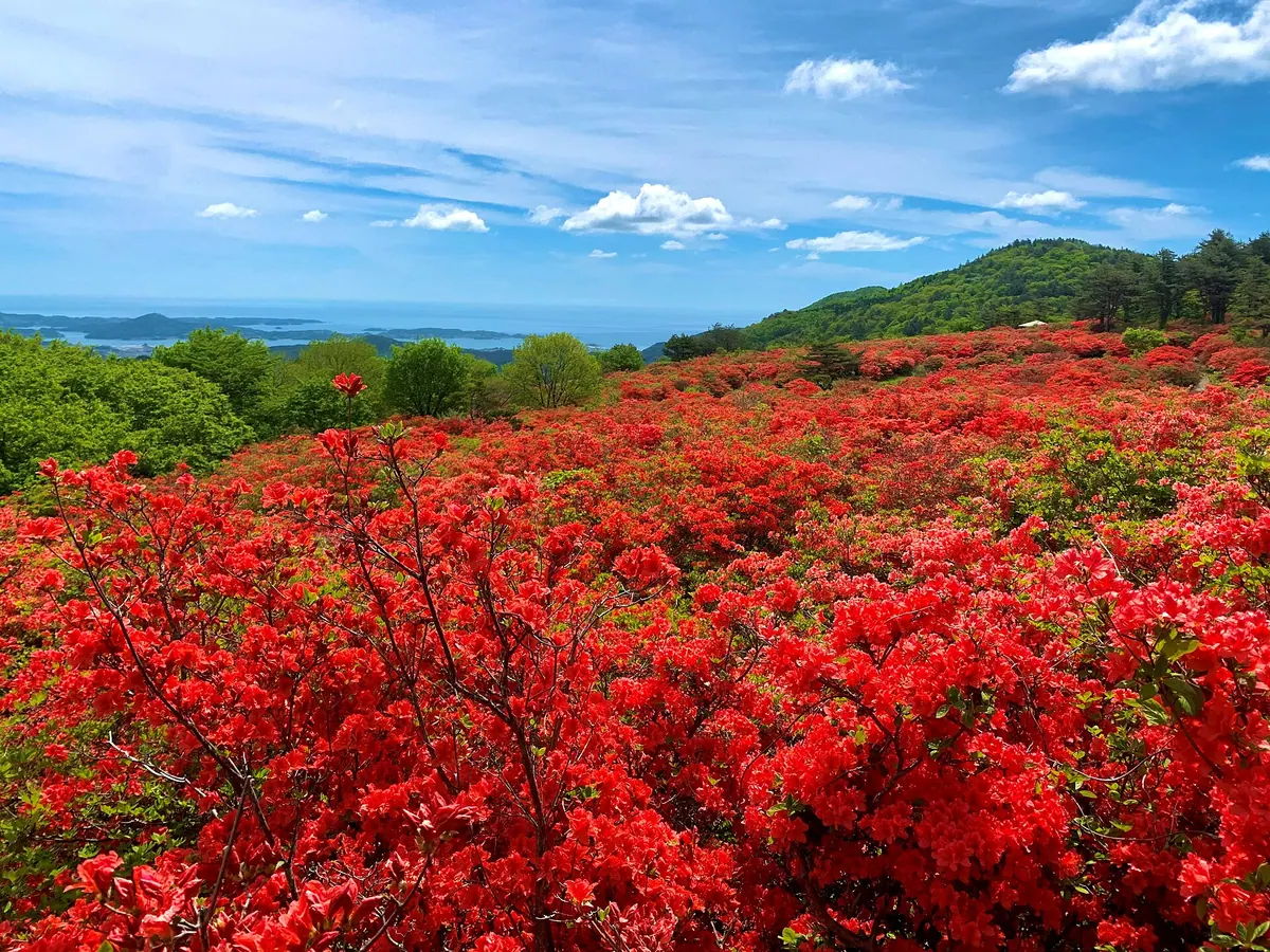
A 711-meter mountain in Kesennuma famous for 500,000 wild azaleas blooming across fifty hectares of scenic slopes.
What it is
- A mountain standing 711 meters tall in Kesennuma City, Miyagi Prefecture.
- One of Japan's premier spots for wild azaleas covering fifty hectares.
- A natural site featuring two primary species called Yamatsutsuji and Renge-tsutsuji.
What to see
- Approximately 500,000 azalea bushes blooming in vibrant colors across the mountain.
- The first observatory located a 15-minute walk from the northern trailhead.
- A dedicated path called Tsutsuji Kaido that leads hikers to the mountain summit.
- Panoramic views from the peak after a 40-minute hike from either side.
- The ridge course and work road course available on the southern Motoyoshi side.
When to go
- Visit from mid-May to early June to see the azaleas in full bloom.
09
Kinkasan
MIYAGI · PLACE 金華山
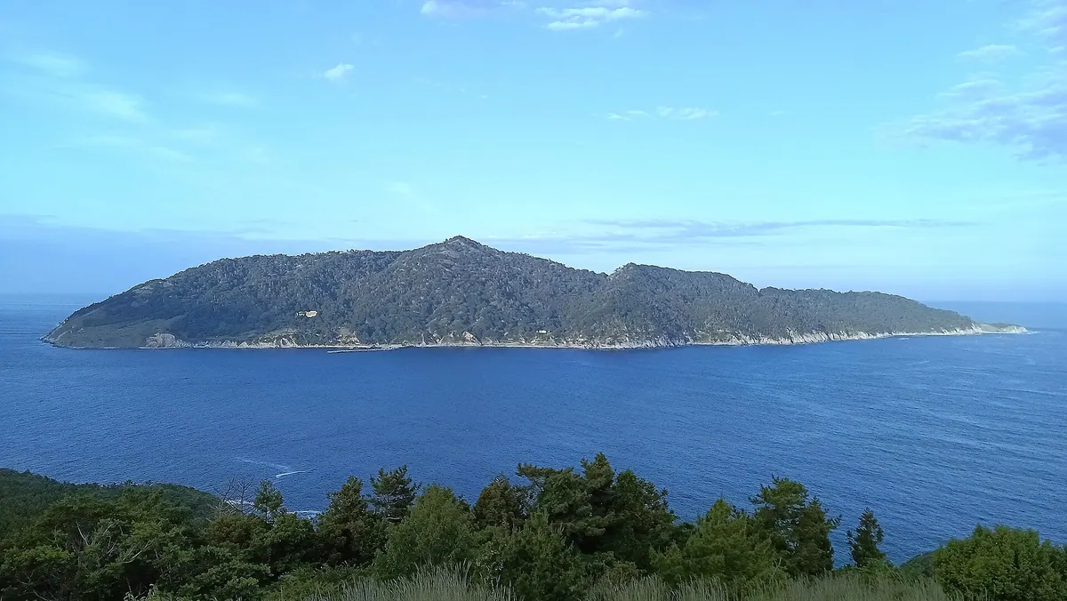
A sacred island and national park featuring a historic shrine, wild deer, and monkeys off the coast of Ishinomaki.
What it is
- A holy island in the Pacific Ocean with a circumference of twenty-six kilometers
- One of the three holy sites of Oshu and part of Sanriku Fukko National Park
- Home to Koganeyama Shrine and a small population of five Shinto priests
- A protected habitat for wild deer and monkeys living across the island
What to see
- The Koganeyama Shrine complex located on the island slopes
- A historic lighthouse first lit in 1876
- The highest peak on the island reaching 444.9 meters
- The shrine reception hall which serves as the only local lodging
When to go
- October for the annual deer antler cutting ceremony
Getting there
- Ferries connect the island to Onagawa Port and Ayukawa Port
10
Mount Hiyori
MIYAGI · PLACE 日和山
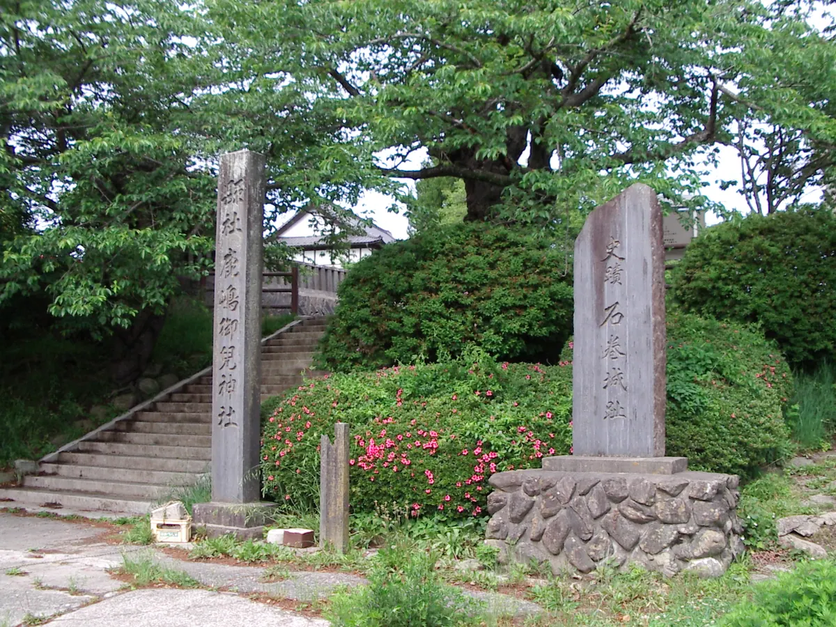
A historic hilltop park and shrine offering panoramic coastal views, famous for cherry blossoms and its role as a tsunami refuge.
What it is
- A fifty-six meter high mountain located west of the Kitakami River mouth.
- The former site of Ishinomaki Castle built by Kasai Kiyoshige.
- A public park and home to the Kashima Miko Shrine at the summit.
- A historic lookout where sailors once observed the weather before setting sail.
What to see
- Kashima Miko Shrine stands at the highest point of the mountain.
- Statues of the famous poet Matsuo Basho and his companion Sora.
- A six meter tall torii gate that was rebuilt in 2021.
- Views overlooking the Pacific Ocean and the Oshika Peninsula.
- Extensive groves of cherry blossom trees throughout the park grounds.
When to go
- Spring is the most popular time to visit for the cherry blossom season.
11
Byōbu Dake
MIYAGI · PLACE 屏風岳
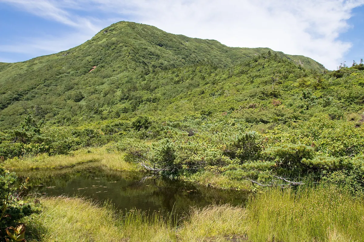
The highest peak in Miyagi Prefecture, offering alpine wetlands and a challenging traverse across the scenic Zao Mountain Range.
What it is
- The highest mountain peak in Miyagi Prefecture standing at 1825 meters.
- The second highest peak within the Zao Mountain Range.
- A mountain featuring a steep eastern slope and gentle western terrain.
- A destination located between Zao Town and Shichikashuku Town.
What to see
- Shibakusadaira, a high-altitude wetland located on the western side.
- Blooming cotton grass and Aleutian avens in the wetland area.
- Views of the snow-covered peak visible from Sendai City.
- The South Zao Traverse Course trail starting from Katta Pass.
- A climbing route that passes through Mount Fubo and Mount Mizuhiki.
Getting there
- Access the South Zao Traverse Course starting from Katta Pass.
12
Mount Aoba (Sendai)
MIYAGI · PLACE 青葉山
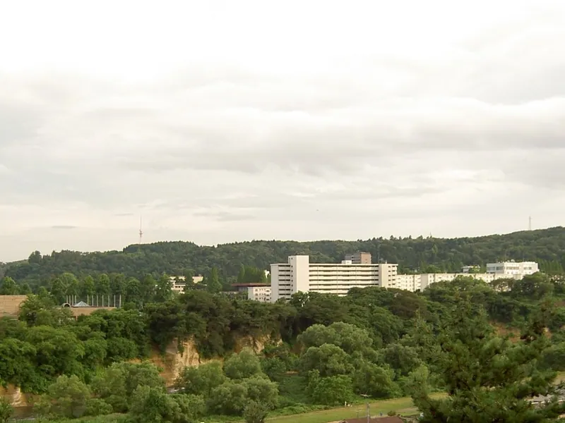
A historic hill featuring Sendai Castle ruins, a protected virgin forest, and panoramic views over the Hirose River.
What it is
- A 202-meter hill containing the ruins of Sendai Castle and university campuses.
- The site served as a military training ground until the end of World War II.
- The name originates from a temple moved to this location in 1602.
- Aoba-yama Park now encompasses the area, including the Sendai City Museum.
What to see
- The ruins of Sendai Castle situated on the hilltop.
- A national natural monument consisting of a protected virgin forest.
- The Hirose River flowing along the northern and eastern sides of the hill.
- The Tatsunokuchi Gorge which separates the mountain from nearby Yagiyama.
Getting there
- Access the area via Aoba-yama Station on the Sendai Subway Tozai Line.
13
Mount Yakurai
MIYAGI · PLACE 薬莱山
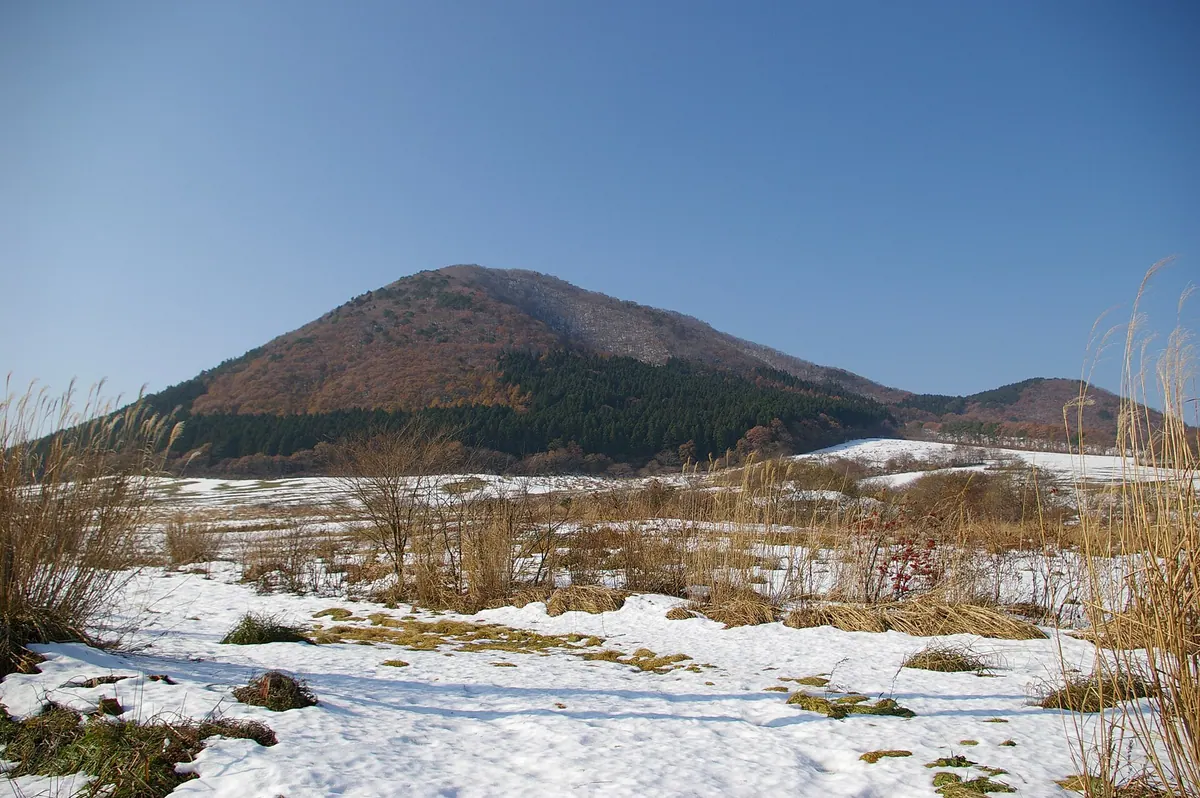
A 553-meter peak known as Kami Fuji, offering a manageable hike, cherry blossoms, and nearby hot springs in Miyagi Prefecture.
What it is
- A 553-meter mountain located within the Funagata Renpo Prefectural Natural Park.
- Known locally as Kami Fuji due to its distinctive shape.
- Recognized as one of the 100 Famous Mountains of Tohoku.
- A recreation area featuring a ski resort and a golf club at its base.
What to see
- A 1.5 kilometer hiking trail leading to the mountain summit.
- A staircase consisting of 706 steps during the ascent.
- Approximately 300 Somei Yoshino cherry trees planted in the area.
- Panoramic views from the peak after a 40 to 45 minute climb.
- The nearby Yakurai Yakushi-no-Yu hot spring facility.
Getting there
- Located a 25-minute drive from Nishifurukawa Station.
14
Mount Shintomi
MIYAGI · PLACE 新富山
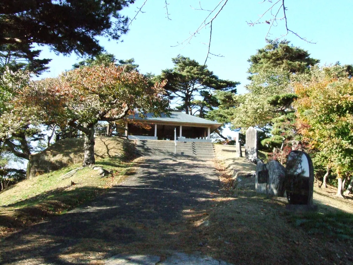
A 45-meter hill featuring an observation deck that offers panoramic views over central Matsushima and the surrounding bay area.
What it is
- A mountain standing 45 meters high in the town of Matsushima.
- The name originates from the Toyama viewpoint of the local area.
- A site overlooking the central district of the town.
What to see
- An observation deck installed at the top of the mountain.
- A monument dedicated to the poet Edmund Blunden along the ridge.
- Panoramic views of the central Matsushima area from the summit.
- A steep and narrow paved road leading to the peak.
Getting there
- Situated between Matsushima-Kaigan Station and Matsushima Station.
- Located within walking distance of the Godaido Temple.
- Accessible by a steep road with no parking for private cars.
15
Banzan
MIYAGI · PLACE 蕃山
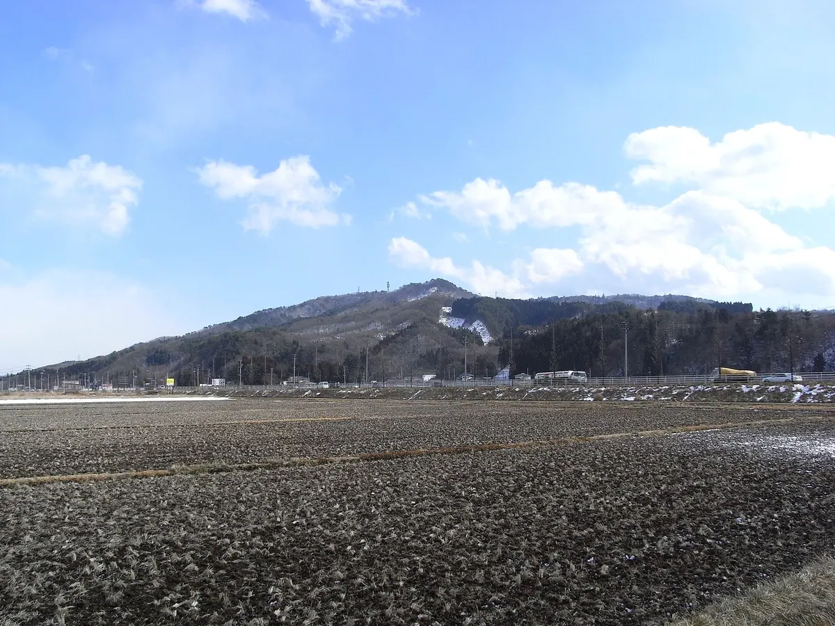
A three-peaked mountain in Sendai featuring a historic Zen temple and a summit hall with sacred statues.
What it is
- A mountain consisting of three separate peaks located in western Sendai City.
- A designated Miyagi Prefecture Greenery Conservation Area and part of the Sendai Greenery Top 100.
- The site of Daibaiji Temple, founded by Zen master Un'go Kiyo during the Edo period.
- A natural boundary marker between the Aoba and Taihaku wards.
What to see
- The eastern peak which stands at an elevation of 356 meters.
- The central peak called Naraibanzan reaching a height of 373 meters.
- The western peak known as Jataibanzan at 366 meters tall.
- Daibaiji Temple situated at the foot of the mountain.
- The Kaizando hall at the summit which enshrines three statues.
16
Mount Dainenji
MIYAGI · PLACE 大年寺山
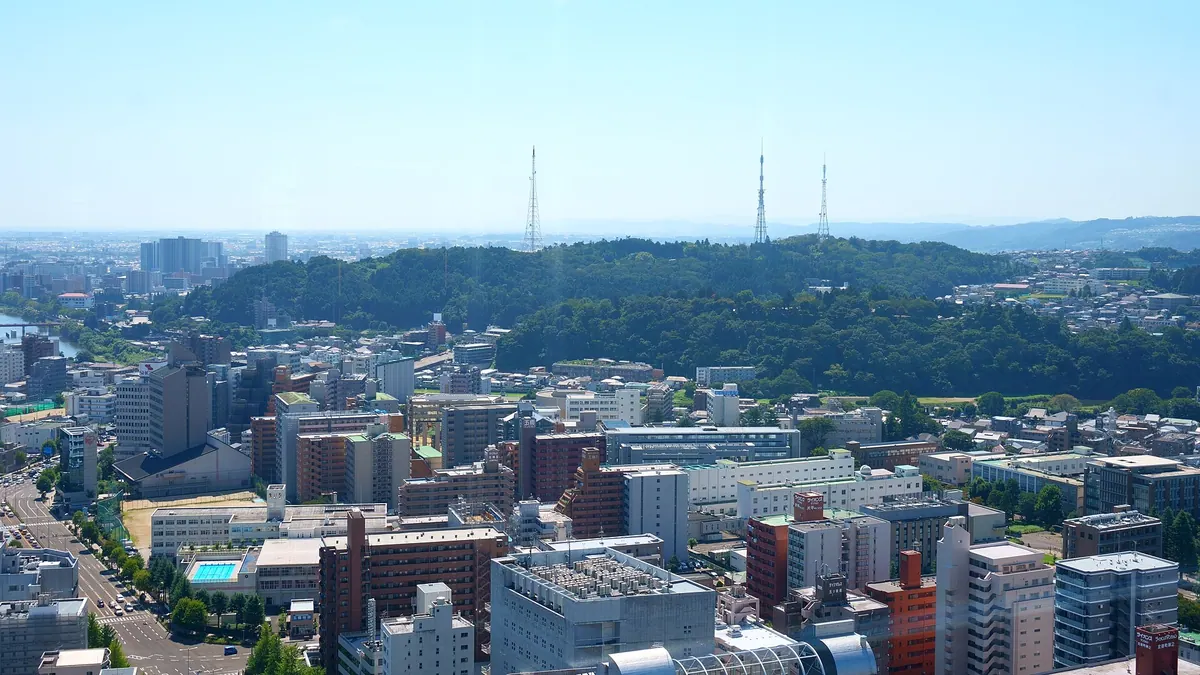
A 120-meter mountain in Sendai featuring ancestral samurai graves, ancient cave tombs, and a dedicated wild grass garden.
What it is
- A 120-meter mountain in Sendai formerly known as Noguchi-yama or Mogasaki.
- Site of the ancestral graves belonging to the powerful Date clan.
- Home to the Sendai City Wild Grass Garden which opened in 1954.
- Location of a large Obaku Zen temple founded in the year 1697.
What to see
- Several groups of ancient horizontal cave tombs built into the mountain.
- Three television towers on the peak that feature award-winning landscape lighting.
- The Sendai City Wild Grass Garden containing various local plant species.
- Historical site of the medieval Mogasaki Castle.
- Tohoku Institute of Technology Nagamachi Campus located on the southwest slope.
17
Naruko
MIYAGI · PLACE 鳴子火山群
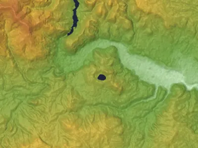
An active volcanic caldera in Miyagi featuring a highly acidic crater lake, lava domes, and scenic hiking trails.
What it is
- An active volcano located within the Kurikoma Quasi-National Park.
- A seven kilometer wide caldera consisting of several lava domes.
- Site of historical eruptions recorded as early as the year 837.
- Home to the ancient Yunoiishi and Yuno shrines mentioned in historical records.
What to see
- Katanuma, a crater lake measuring four hundred meters in diameter.
- Active fumaroles emitting volcanic gases around Katanuma and Toyagamori.
- Ogadake, the highest peak of the volcano reaching 470.3 meters.
- Maintained hiking trails on the Kurumigatake and Nakanodake peaks.
- Remains of a sulfur refinery located on the north shore of Katanuma.
18
Mount Anba
MIYAGI · PLACE 安波山
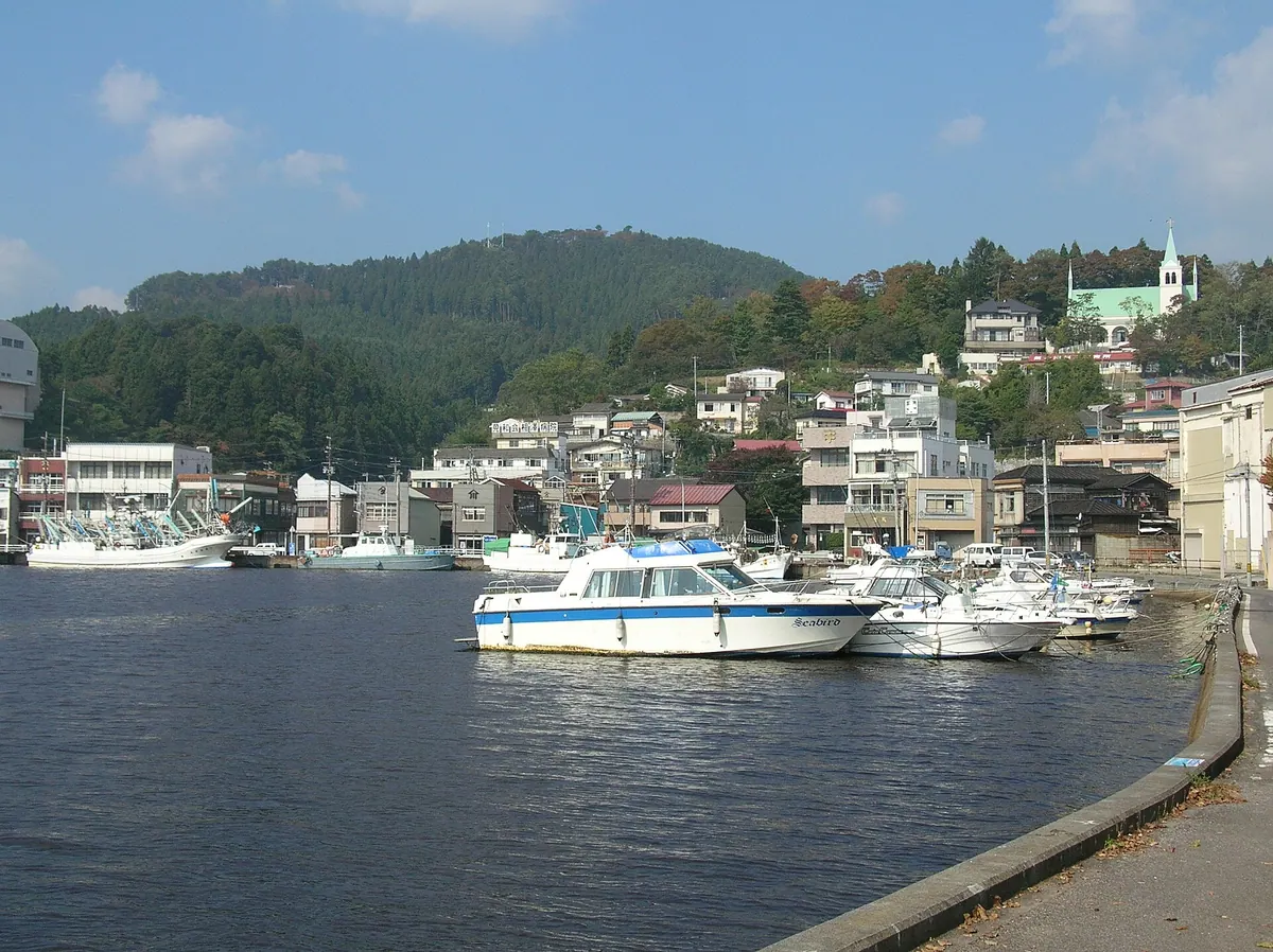
A 239-meter peak in Kesennuma offering panoramic city views and a chance to spot protected Japanese serows in the wild.
What it is
- A 239-meter mountain located in Kesennuma City within Miyagi Prefecture
- Home to Anba Mountain Park situated near the summit of the peak
- A habitat for the Japanese serow which is a national natural monument
- A site where comedians Sandwichman sought safety during the 2011 earthquake
What to see
- Panoramic views of the city from the mountain summit
- Wild Japanese serows living on the mountain slopes
- A forest road that reaches an elevation of 130 meters
- The site of a former analog television relay station
When to go
- Visit on New Year's Day for the popular first sunrise viewing
19
Mount Gando
MIYAGI · PLACE 雁戸山
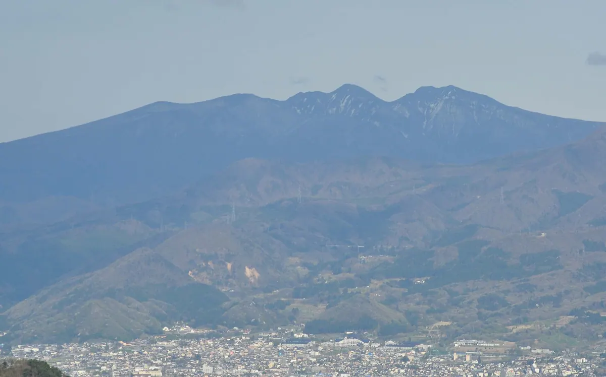
A twin-peak stratovolcano in the North Zao range featuring gentle slopes and views of a dam and ski resort.
What it is
- A Quaternary stratovolcano located on the border of Miyagi and Yamagata prefectures.
- A twin peak consisting of Mount Gando and the 1486-meter South Mount Gando.
- An ancient volcano in the North Zao range formed approximately 400,000 years ago.
- A mountain situated south of Sasaya Pass featuring gentle volcanic slopes.
What to see
- The gentle volcanic slopes known as Happodaira and Hatchodaira near the peak.
- St. Mary's Ski Resort located on the eastern foot of the mountain.
- Zao Dam situated at the western base of the volcano.
- Views of the surrounding North Zao mountain range from the summit.
20
Mount Hachimori
MIYAGI · PLACE 鉢森山 (宮城県)
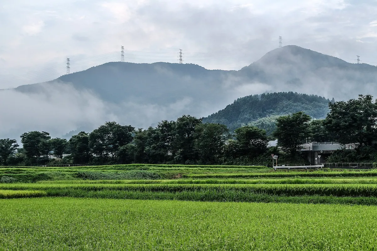
A 561-meter mountain featuring a historic Edo-period pass once used for Shogun processions and local trade routes.
What it is
- A mountain standing 561 meters high in Shiroishi City, Miyagi Prefecture.
- Site of the Hachimori Pass used for sankin-kotai processions during the Edo period.
- A former transport route for local goods like Shiroishi Umen noodles and paper.
- The historic path now serves as the Shiroishi City Road Hachimori Line.
What to see
- A stone monument dedicated to a mountain god located near the summit.
- Views overlooking the Shiroishi Basin from the 450-meter high pass.
- Unpaved forest roads that lead visitors to the top of the mountain.
- Power lines running along the ridge of the mountain landscape.