

15 Mountains in Okayama worth your time
Japan Gems
15 Mountains in Okayama, with what to see and how to get there.
Okayama has 15 mountains on Japan Gems. Below are the 15 we can tell you the most about — each one written up in English from Japanese sources, with what to see and how to get there. See all mountains in Okayama.
01
Mount Yūdachiuke
OKAYAMA · PLACE 夕立受山
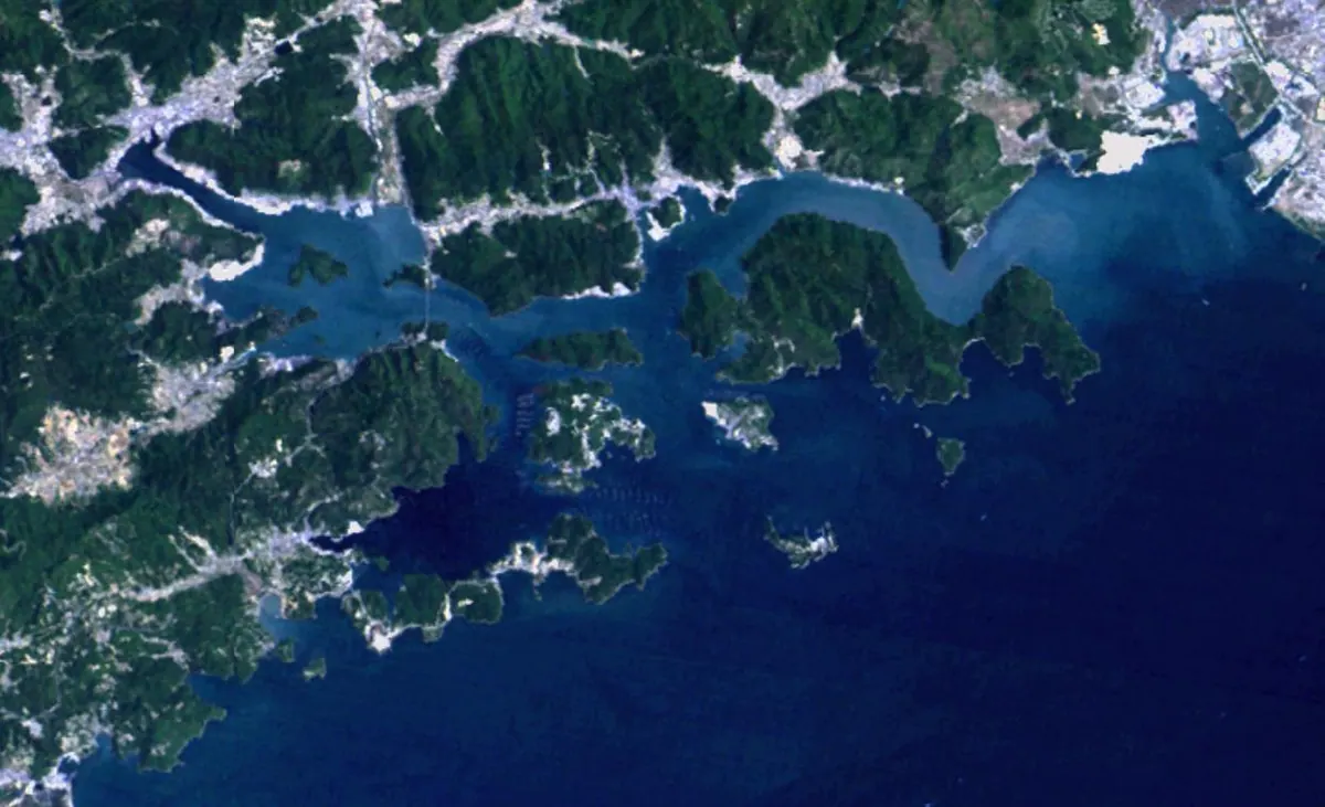
A scenic peak in Setonaikai National Park offering panoramic views of oyster rafts, islands, and seasonal blossoms across Katakami Bay.
What it is
- A mountain peak located within the Setonaikai National Park in Okayama Prefecture.
- The name originates from a traditional rainmaking ritual held on the mountain.
- The surrounding Katakami Bay served as the setting for a book by Hakucho Masamune.
What to see
- Panoramic views of Katakami Bay and the numerous Hinase Islands.
- Oyster farming rafts floating in the waters below the summit.
- The Katakami Bridge which carries the Okayama Blue Line across the water.
- Distant views of Shodoshima and Shikoku visible on clear days.
- Cherry blossoms and azaleas planted around the summit area.
When to go
- Visit during spring to see the cherry blossoms and azaleas in bloom.
- Clear days provide the best visibility for spotting Shodoshima and Shikoku.
Getting there
- The mountain is accessible via the Kibu bus stop.
- Drivers can reach the site in three minutes from the Bizen Interchange.
- A road allows vehicles to drive directly near the mountain summit.
02
Ōjigatake
OKAYAMA · PLACE 王子が岳
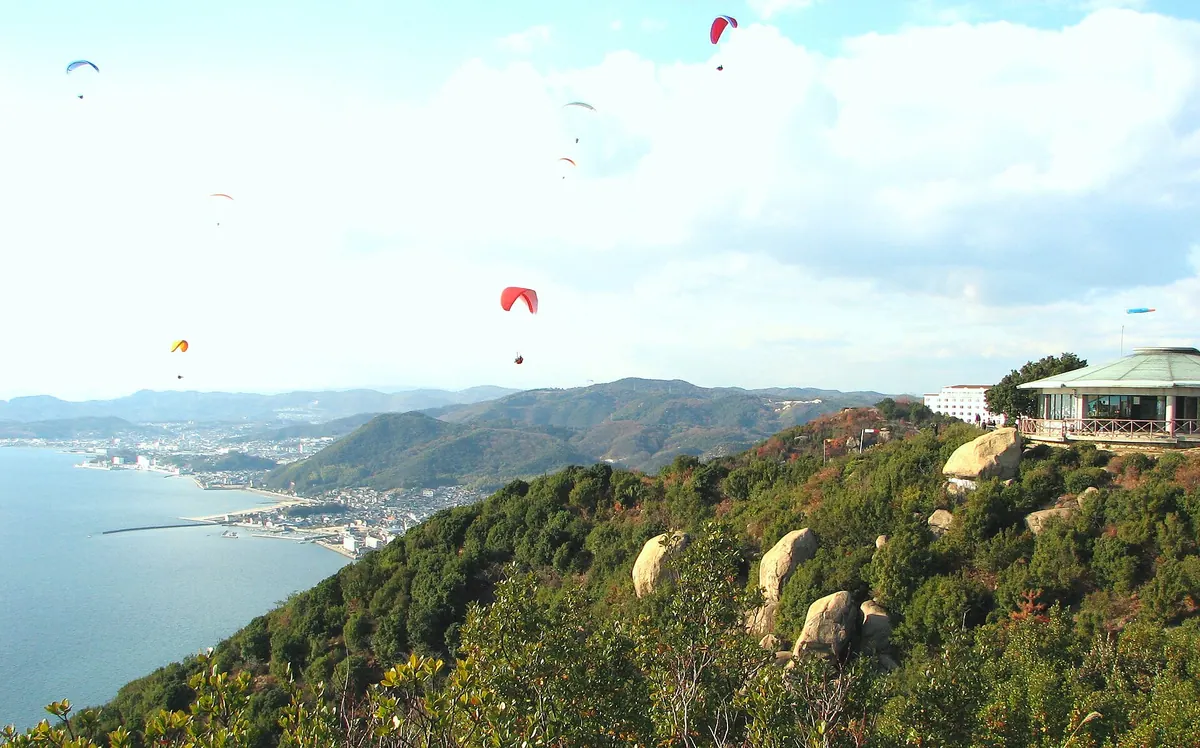
A scenic peak in Setonaikai National Park famous for granite rock formations and panoramic views of the Seto Ohashi Bridge.
What it is
- A mountain peak located on the border of Tamano and Kurashiki cities.
- Part of the Setonaikai National Park reaching 233.9 meters above sea level.
- Named after a local legend involving eight princes.
- A recreational area featuring an outdoor stage and a paragliding launch site.
What to see
- Various granite rock formations scattered across the mountain landscape.
- Panoramic views of the Seto Ohashi Bridge from the summit.
- Shibukawa Beach located two kilometers to the east-southeast.
- The highest peak of the area known as Shinwariyama.
When to go
- Visit at dawn to see the first sunrise of the year.
Getting there
- Follow the hiking trail starting near Shibukawa Port.
- Drive twenty minutes from the Kojima Interchange to reach the site.
- Three free parking lots are available for those arriving by car.
03
Mount Tsune
OKAYAMA · PLACE 常山
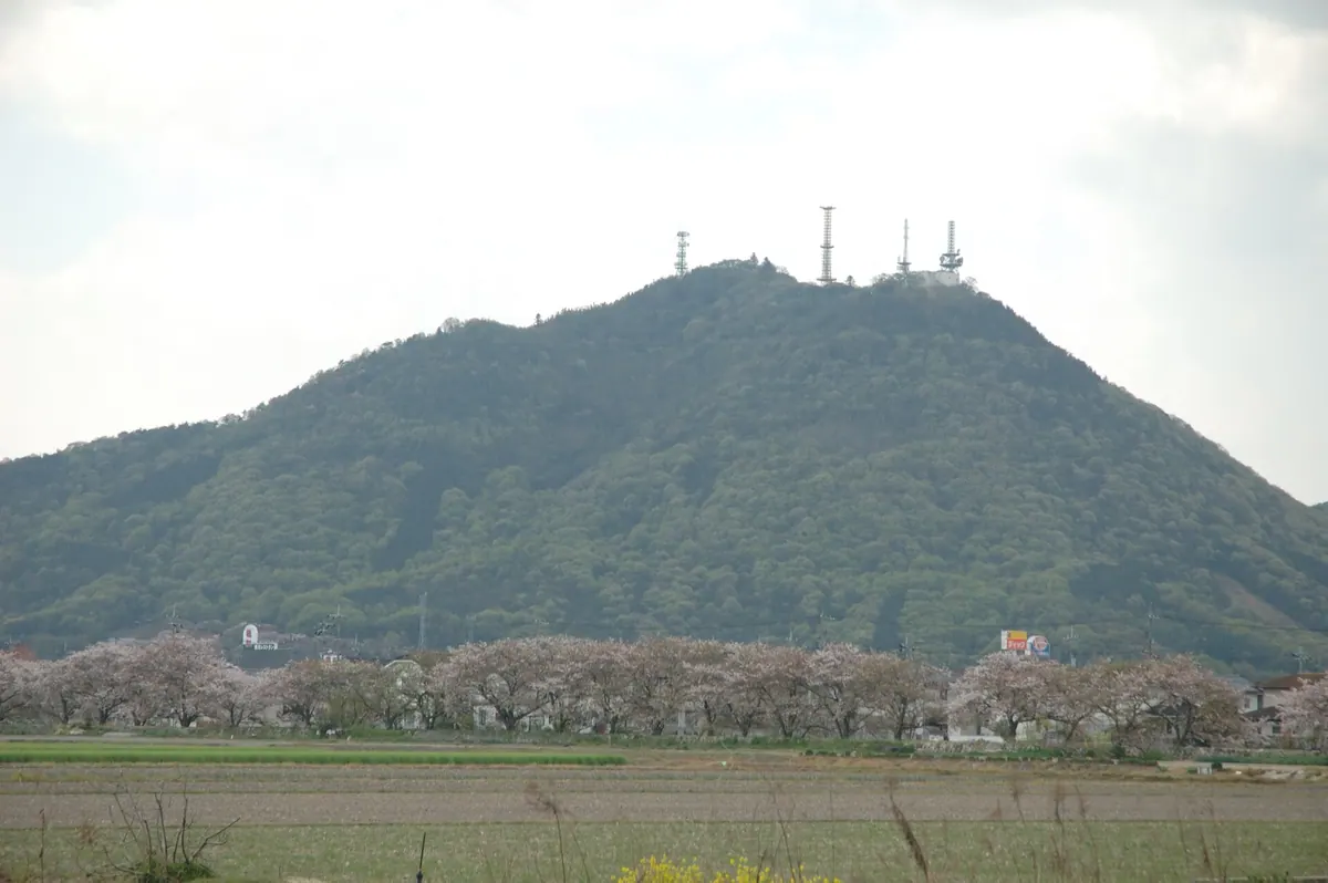
A 307-meter peak featuring historic castle ruins and panoramic views of reclaimed land on the Kojima Peninsula.
What it is
- A 307-meter mountain located on the border of Okayama and Tamano cities.
- The third highest peak on the Kojima Peninsula, known locally as Kojima Fuji.
- Site of the Tsune Mountain Castle ruins, a designated historic site of Tamano City.
- A regional Fuji mountain categorized by its distinctive shape.
What to see
- The historic ruins of Tsune Mountain Castle located at the summit.
- An observation deck providing views over the Kojima Bay reclaimed land.
- A radio tower standing at the top of the mountain.
- Panoramic views of the surrounding peninsula from the summit.
Getting there
- The trailhead is located a few minutes walk from Tsune Mountain Station.
- A hike from the trailhead to the summit takes approximately forty minutes.
04
Hiruzen
OKAYAMA · PLACE 蒜山
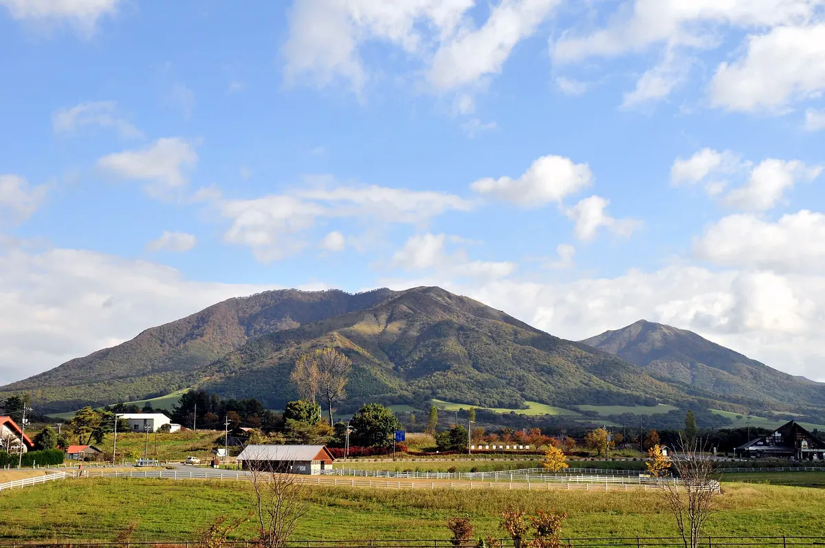
A volcanic mountain range and highland plateau in Daisen-Oki National Park offering outdoor activities and Japan's largest Jersey cattle farm.
What it is
- A volcanic group spanning Okayama and Tottori prefectures within a national park.
- The area consists of three main peaks known as the Hiruzen Sanza.
- The highlands sit at an elevation of 500 to 600 meters above sea level.
- The site hosts the largest Jersey cattle breeding farm in Japan.
What to see
- Mount Kami-Hiruzen stands as the highest peak at 1,202 meters.
- The Hiruzen-Daisen Skyline road provides a driving route to Mount Daisen.
- Extensive hiking trails and cycling roads wind through the volcanic landscape.
- The mountains are formed from ancient dacite and andesite lava flows.
- The natural habitat supports local wildlife including Asian black bears.
- Campsites are available for visitors staying overnight in the highlands.
05
Mount Tsurugata
OKAYAMA · PLACE 鶴形山
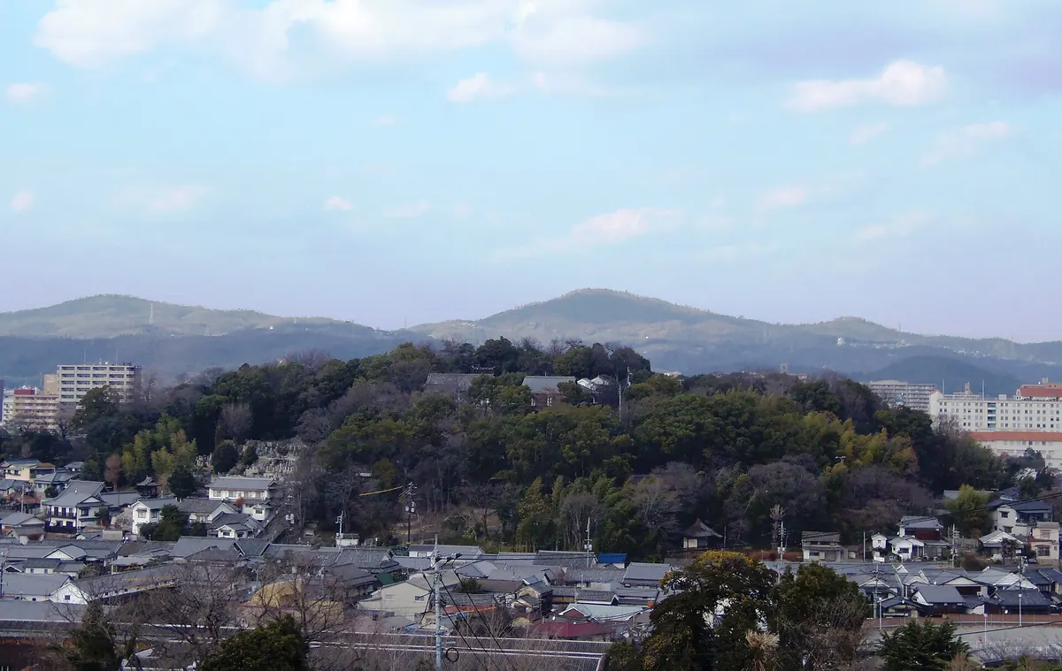
A forty-meter hill in Kurashiki featuring an ancient shrine, historic temples, and a famous giant wisteria tree.
What it is
- A forty-meter hill in central Kurashiki that was historically an island surrounded by sea.
- The summit holds Achi Shrine and the surrounding Tsurugata Mountain Park.
- Archaeological site where sutra mounds and Kamakura period bronze mirrors were discovered.
- A natural landmark situated directly north of the Kurashiki Bikan Historical Quarter.
What to see
- Achi Shrine located at the highest point of the mountain.
- The Achi no Fuji, a notably large and famous wisteria tree.
- Kanryu-ji Temple situated on the western side of the shrine grounds.
- Seigan-ji and Hon-ei-ji temples located at the southern foot of the hill.
- The Tsurugata Mountain Tunnel which passes through the western part of the hill.
06
Wake Fuji
OKAYAMA · PLACE 和気富士
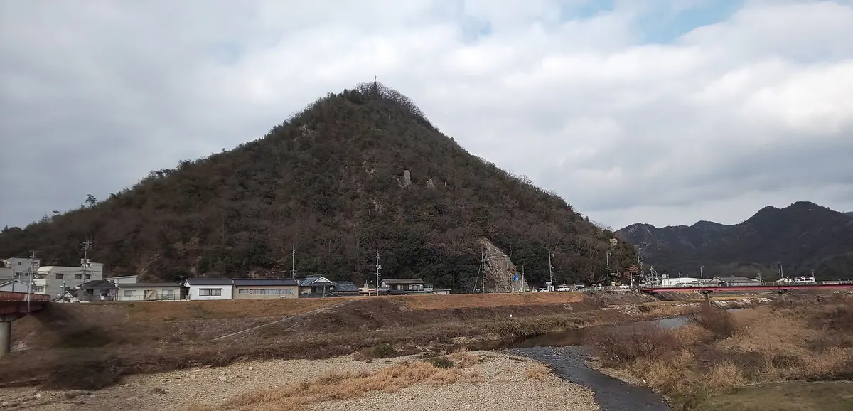
A 172.8-meter mountain featuring castle ruins, seasonal azaleas, and a religious rock monument overlooking the Kongo River.
What it is
- A 172.8-meter peak officially named Shiroyama composed of rhyolite rock.
- The starting point of the Wake Alps mountain range.
- Site of the Kitasone Castle ruins located at the summit.
- A natural landmark situated across the Kongo River from Waki Town.
What to see
- The Daimoku Rock located on the southern face of the mountain.
- A religious monument donated by Saheiji Tanaka in 1914.
- Pink azaleas that bloom across the slopes during the spring season.
- Remnants of the historic Kitasone Castle at the highest point.
When to go
- Spring is the best time to visit for the blooming azaleas.
- Entry is strictly prohibited from September to November for matsutake harvesting.
07
Mount Misao
OKAYAMA · PLACE 操山
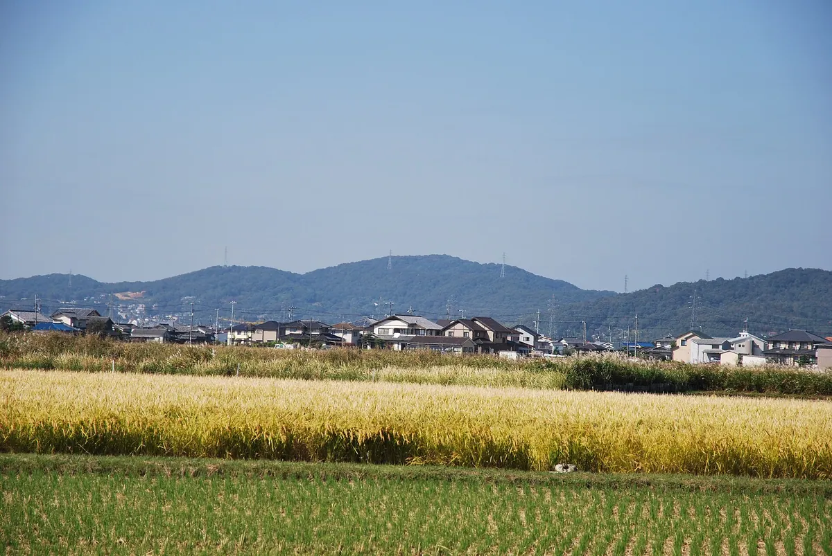
A 169-meter mountain park in Okayama featuring ancient burial mounds, historic shrines, and trails used for nature walks.
What it is
- A 169-meter mountain designated as a national forest and public park.
- A site for ancient religious rituals containing numerous burial mounds called tumuli.
- The former forest of the Okayama Domain used as borrowed scenery for Korakuen Garden.
- A protected natural area maintained with walking trails and a dedicated information center.
What to see
- The Misao Mountain Tumuli scattered across the landscape.
- Sogenji and Okayama Prefecture Gokoku Shrine located at the base of the mountain.
- The Satoyama Center which provides information about the local environment.
- The western ridge containing the former site of the Sankun Shrine.
- Extensive walking trails through the forest and park areas.
08
Washuzan Hill
OKAYAMA · PLACE 鷲羽山
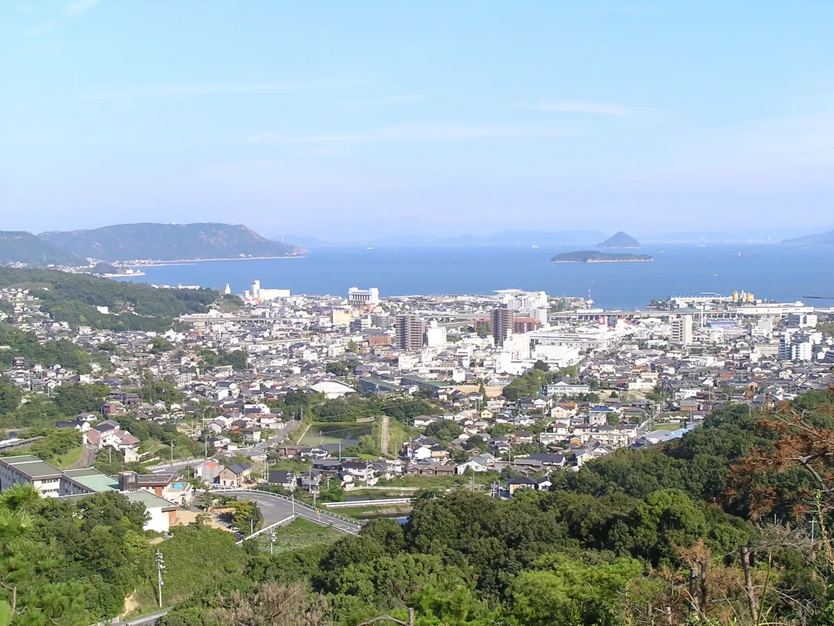
A scenic hill in Setonaikai National Park offering panoramic views of the Seto Ohashi Bridge and surrounding islands.
What it is
- A 133-meter hill located at the southern tip of the Kojima Peninsula.
- Part of the Setonaikai National Park and a designated National Place of Scenic Beauty.
- Named for its physical resemblance to an eagle spreading its wings.
- A site containing ancient burial mounds scattered from the mountainside to the summit.
What to see
- Panoramic views of the Seto Ohashi Bridge and the islands of the Seto Inland Sea.
- Ancient burial mounds located along the path to the summit.
- A visitor center and rest house situated near the top of the hill.
- The western side of the hill where the Washuzan Tunnel passes through.
Getting there
- A 15-minute drive from JR Kojima Station.
09
Mount Keshigo
OKAYAMA · PLACE 芥子山
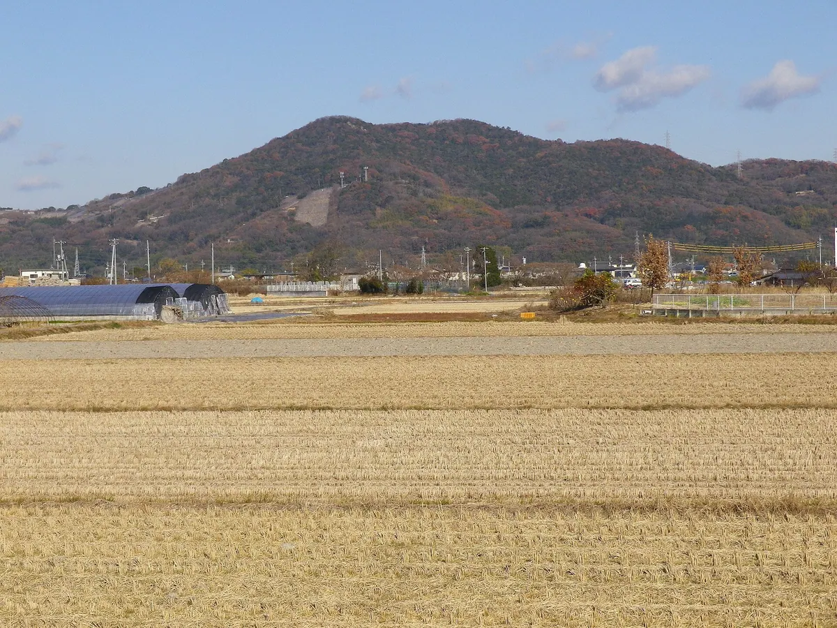
A 233-meter peak known as Bizen Fuji offering a park, ancient ruins, and a mountain bike course near Okayama City.
What it is
- A 233-meter mountain in Higashi Ward known locally as Bizen Fuji.
- The summit area is developed as Mount Keshigo Park for public use.
- The peak serves as borrowed scenery for the famous Korakuen Garden.
- The mountainside is home to active fruit orchards growing grapes and pears.
What to see
- The Oodara Yosemiya Ruins located on the western ridge of the mountain.
- Muryoju-in Temple situated on the southeastern slope of the peak.
- A dedicated cross-country course designed for mountain bike enthusiasts.
- A vehicle road that leads directly to the mountain summit.
When to go
- Visit during the ritual at Muryoju-in Temple to see wood prepared for Saidaiji Eyo.
10
Mount Kibi no Nakayama
OKAYAMA · PLACE 吉備の中山
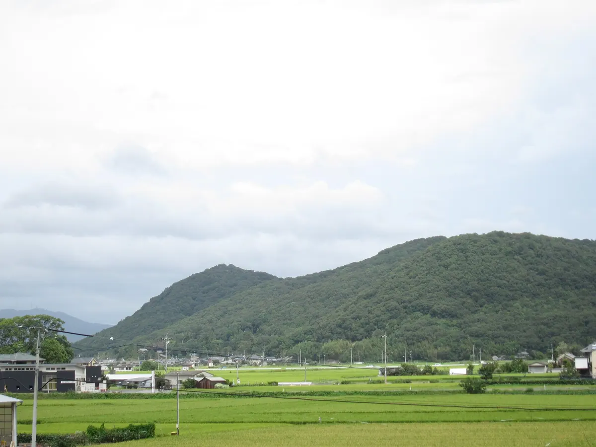
A sacred 175-meter mountain in Okayama featuring ancient burial mounds, ritual ruins, and shrines dedicated to the Kibi region's history.
What it is
- A sacred mountain reaching an elevation of 175 meters in Okayama City.
- The site contains numerous ancient burial mounds and prehistoric ritual locations.
- The Imperial Household Agency designates a specific tomb here for Okibitsuhiko no Mikoto.
- The mountain serves as the location for the Kibi Archaeological Museum.
What to see
- The 120-meter long Nakayama Chausuyama burial mound located on the 160-meter peak.
- Motomiya Iwakura ritual ruins and the Hachijoiwa rock formation.
- Ryujin Shrine situated at the summit of Mount Ryuo.
- Onoue Kurumayama and Ishifune burial mounds scattered across the mountain.
- Pottery fragments and archaeological findings displayed at the local museum.
- Official site
- kibinonakayama.com
11
Mount Ushiro
OKAYAMA · PLACE 後山
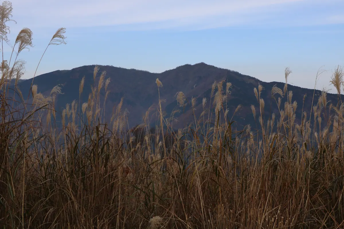
The highest peak in Okayama Prefecture and a sacred Shugendo site featuring ancient temples and ascetic training grounds.
What it is
- The highest mountain peak in Okayama Prefecture standing 1344 meters above sea level
- A center for Shugendo practice founded by the legendary figure En-no-Gyoja
- Part of the Hyonosen-Ushiroyama-Nagisan Quasi-National Park spanning two cities
- Home to Dosen-ji Temple which was established between 1249 and 1255
What to see
- Over fifty different ascetic training sites scattered across the mountain slopes
- The Dosen-ji Okunoin area where women are traditionally prohibited from entering
- The mountain summit located within the boundaries of Mimasaka City
When to go
- September 7 and 8 for the annual fire ritual held on the mountain
12
Mount Yosho
OKAYAMA · PLACE 遙照山
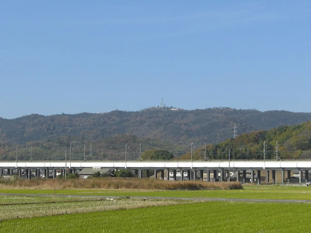
A 405-meter peak in southwestern Okayama offering panoramic views of the Inland Sea and local hot springs.
What it is
- A mountain summit standing at an elevation of 405 meters.
- A natural area spanning Asakuchi City and Yakage Town.
- The site features a general park and local hot springs.
- A destination for views of the Okayama Plain and Seto Inland Sea.
What to see
- Panoramic views of the Seto Inland Sea from the summit.
- The nearby Chikurinji Mountain and its observatory.
- A tunnel constructed through the mountain for local travel.
- Hotel the View Setouchi located on the Konko Town side.
Getting there
- Accessible by car via the Kamogata Interchange.
- Located approximately 10 kilometers from JR Kamogata Station.
13
Mount Yataka
OKAYAMA · PLACE 弥高山
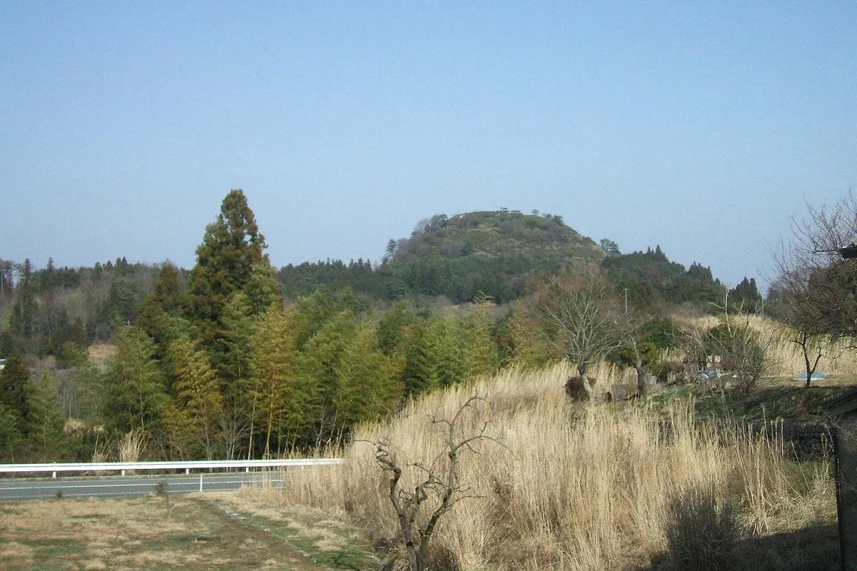
A 653-meter volcanic peak offering panoramic views of Mount Daisen and the Seto Inland Sea from its ancient limestone summit.
What it is
- A volcanic neck standing as a monadnock on a plateau near the Hiroshima border.
- A mountain formed from a basaltic volcanic eruption eight million years ago.
- A geological site featuring limestone, Miocene strata, and marine fossils.
- A recreational area equipped with walking trails and a dedicated campground.
What to see
- Panoramic views of Mount Daisen and the Seto Inland Sea from the summit.
- Slopes planted with colorful azaleas and satsuki rhododendrons.
- Surrounding peaks including Mount Arato, Mount Kurumi, and Mount Sushi.
- Skarn mineral veins formed by thermal metamorphism in the surrounding region.
14
Mount Kinkō
OKAYAMA · PLACE 金甲山
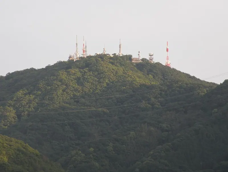
The highest peak on Kojima Peninsula offering panoramic views of the Seto Inland Sea from a summit observatory.
What it is
- The highest peak on the Kojima Peninsula at 403.4 meters elevation.
- A scenic mountain located within the Setonaikai National Park.
- A site historically known as Konomine with legends involving Sakanoue no Tamuramaro.
- A location housing broadcasting stations for the Okayama and Kagawa regions.
What to see
- Panoramic views of the Seto Inland Sea from the mountain summit.
- A rest house featuring an observatory for visitors to view the landscape.
- The natural terrain of the highest point in the local peninsula area.
15
Mount Hinakura
OKAYAMA · PLACE 日名倉山
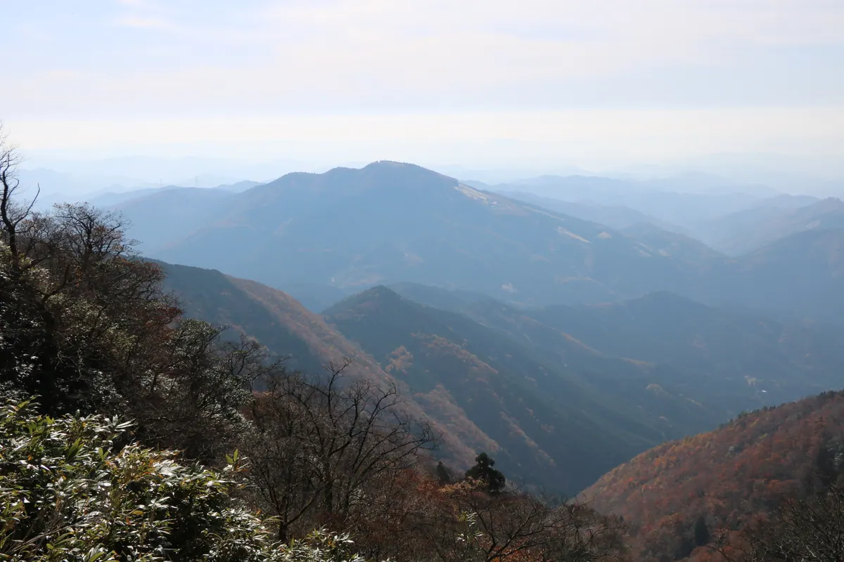
A 1047-meter peak on the Hyogo-Okayama border known as Mimasaka Fuji for its resemblance to Japan's most famous volcano.
What it is
- A mountain standing 1047.4 meters tall on the border of Hyogo and Okayama prefectures.
- One of the Kansai 100 Mountains and the 50 Mountains of Hyogo.
- Part of the Hyonosen-Ushironoyama-Nagisan Quasi-National Park system.
- Nicknamed Mimasaka Fuji or Sakushu Fuji due to its distinct shape.
What to see
- A mountain peak that resembles Mount Fuji when viewed from the Okayama side.
- Natural landscapes protected within a designated Quasi-National Park area.