

19 Mountains in Shiga worth your time
Japan Gems
19 Mountains in Shiga, with what to see and how to get there.
Shiga has 19 mountains on Japan Gems. Below are the 19 we can tell you the most about — each one written up in English from Japanese sources, with what to see and how to get there. See all mountains in Shiga.
01
Mount Gozaisho
SHIGA · PLACE 御在所岳
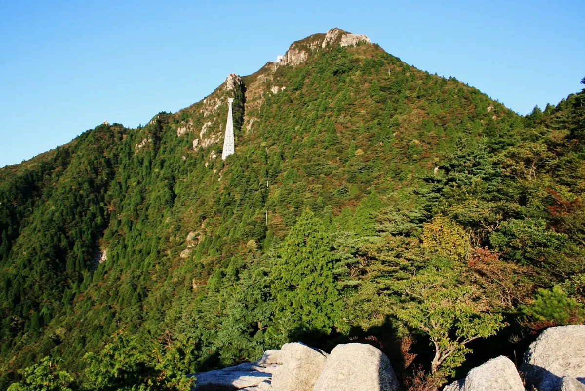
A 1,212-meter peak in Suzuka Quasi-National Park offering unique rock formations, seasonal skiing, and panoramic views via a ropeway.
What it is
- A 1,212-meter mountain located on the border of Mie and Shiga prefectures.
- Part of the Suzuka Quasi-National Park and one of Japan's 200 Famous Mountains.
- A granite peak featuring the only ski resort in Mie Prefecture at the summit.
- The southern limit for several plant species and a habitat for migrating Akiakane dragonflies.
What to see
- Large granite rock formations including the Tonai-heki rock wall used for climbing.
- Panoramic views of Lake Biwa and the surrounding Suzuka Mountains from the peak.
- A first-class triangulation point marking the summit area.
- The Gozaisho Ropeway which has operated year-round since 1959.
When to go
- Summer months to see the migration of Akiakane dragonflies to the summit.
- Winter season to visit the ski resort located at the mountain top.
Getting there
- The Gozaisho Ropeway connects Yunoyama Onsen directly to the summit area.
02
Mount Kōjin
SHIGA · PLACE 荒神山
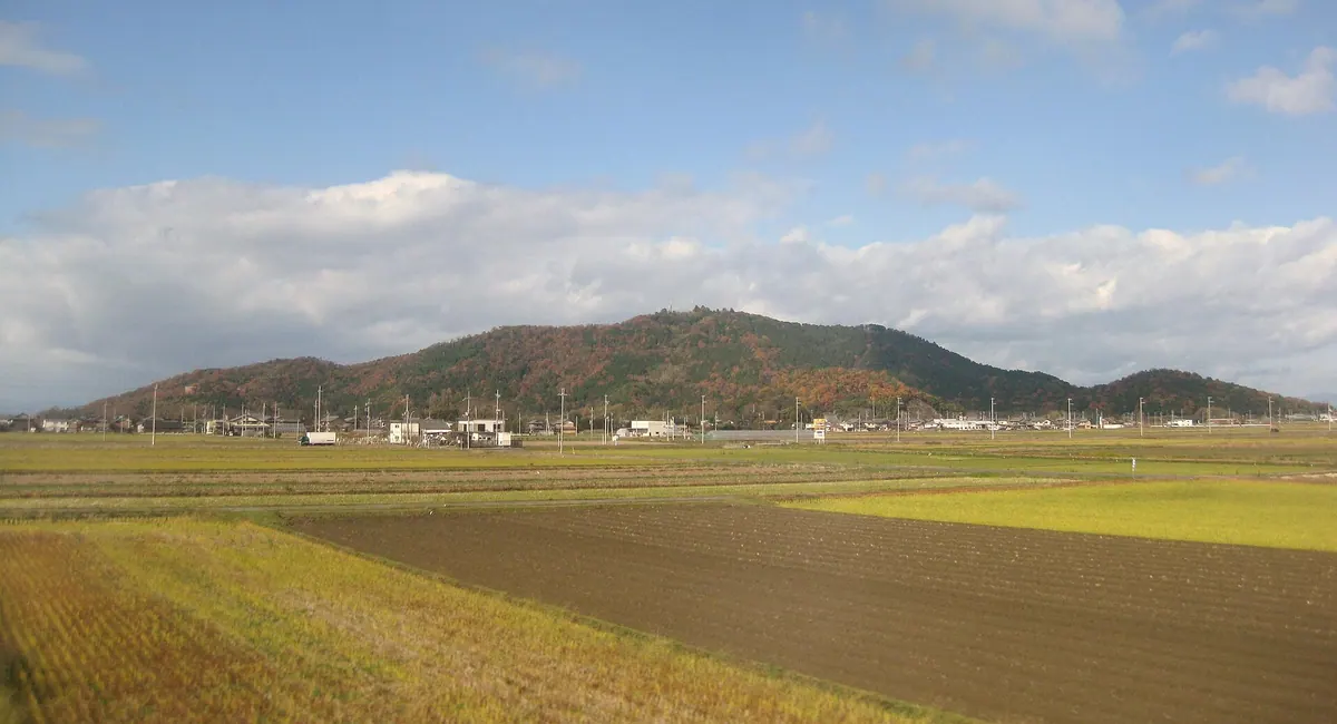
A 284-meter mountain in Hikone featuring ancient burial mounds, historic shrine ruins, and active hiking trails with hang gliding spots.
What it is
- A 284-meter mountain in Hikone City dedicated to the deity Sanpo Daikojin.
- Site of Okuyama-dera Temple founded by the monk Gyoki during the Nara period.
- Location of the Kojinyama Burial Mound, a large keyhole-shaped tumulus.
- Home to the ruins of Kojinyama Castle and a modern television relay station.
What to see
- Kojinyama Shrine and the historical ruins of the former castle at the summit.
- A hang glider runway offering views from the mountain heights.
- Kojinyama Park featuring a baseball field and tennis courts for public use.
- Multiple hiking courses that lead visitors through the natural mountain landscape.
When to go
- The Minazuki Festival is held annually on June 29th and 30th.
- Visit before 2025 if you intend to see the Kojinyama Nature House before it closes.
Getting there
- The mountain is accessible from the nearby Kawase Station and Inae Station.
03
Shizugatake
SHIGA · PLACE 賤ヶ岳
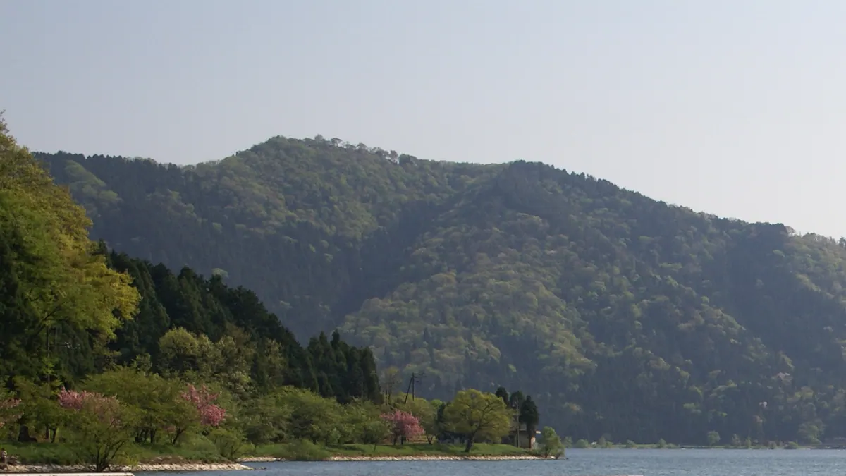
A scenic 421-meter mountain peak offering panoramic views of Lake Biwa and the site of a historic 1583 samurai battle.
What it is
- A 421-meter mountain located in Nagahama City within Biwako Quasi-National Park.
- The historic site of the Battle of Shizugatake which took place in 1583.
- A natural barrier separating Lake Biwa and Lake Yogo.
- Recognized as one of the Eight Views of Lake Biwa.
What to see
- Panoramic views of Chikubu Island and Mount Ibuki from the summit.
- A chairlift that connects the foot of the mountain to the summit ridge.
- The Yogo River flowing along the eastern foot of the mountain.
- Vistas of Lake Yogo and Lake Biwa from a single vantage point.
Getting there
- The nearest train access is via Kinomoto Station.
- A shuttle bus operates from Kinomoto Station on specific dates.
- The Kinomoto Interchange is the closest exit for those traveling by car.
- National Route 8 provides access through the Shizugatake Tunnel.
04
Mount Bunagatake
SHIGA · PLACE 武奈ヶ岳
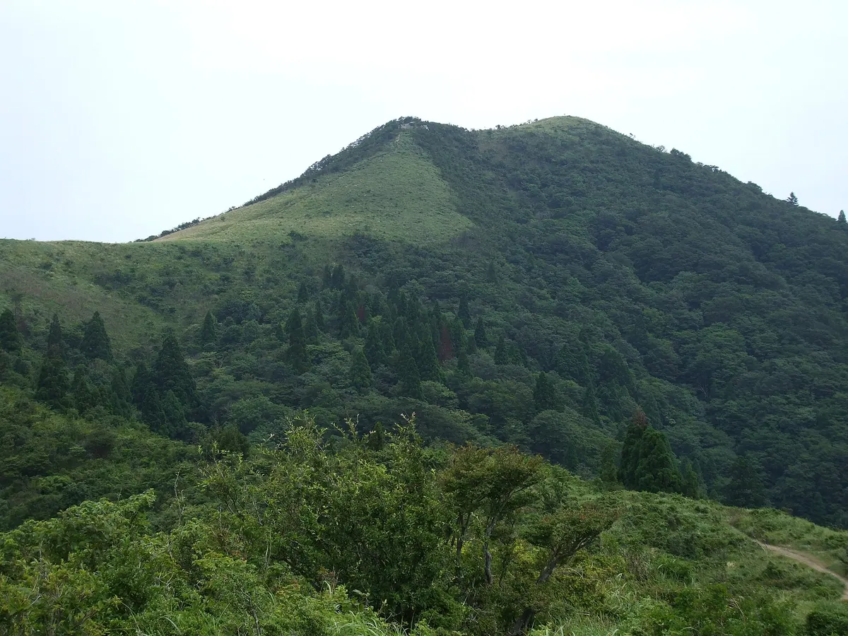
The highest peak of the Hira Mountains offering 360-degree views of Lake Biwa and distant Japanese Alps.
What it is
- The highest peak in the Hira Mountains standing at 1214.4 meters.
- Part of the Biwako Quasi-National Park in Shiga Prefecture.
- One of Japan's 200 Famous Mountains named for its native beech trees.
- A mountain composed primarily of sedimentary rocks like sandstone and mudstone.
What to see
- A summit providing a 360-degree panoramic view of the surrounding region.
- Clear day sightings of distant peaks including Mount Hakusan and Mount Ontake.
- Natural landscapes featuring extensive groves of beech trees on the slopes.
- Remnants of former ropeways and ski resorts that are now closed.
When to go
- Weekends and holidays outside of the winter season for bus access.
Getting there
- Access the mountain trails from Hira Station.
- Take the Kojak Bus climbing line to the Bomura bus stop.
05
Mount Akagami
SHIGA · PLACE 赤神山
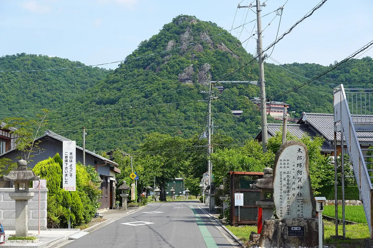
A sacred mountain featuring a shrine built into steep cliffs with panoramic views over Lake Biwa and the surrounding plains.
What it is
- A 357 meter peak also known as Mount Tarobo located in Higashiomi City.
- The sacred object of worship for the Tarobogu Aga Shrine.
- A spiritual site featuring shrine buildings scattered across the rugged mountainside.
What to see
- Numerous unusual rock formations located throughout the mountain slopes.
- An observation deck providing views of Lake Biwa to the west.
- The main shrine complex situated ten minutes up from the trailhead.
- Vending machines and restroom facilities available for visitors on the mountain.
Getting there
- The trailhead is a twenty minute walk from Tarobogumae Station.
- The main shrine is a ten minute hike from the trailhead.
- The mountain summit is a twenty minute walk from the main shrine.
- Parking lots are available at both the base and the mountainside.
06
Mount Fujiwara
SHIGA · PLACE 藤原岳
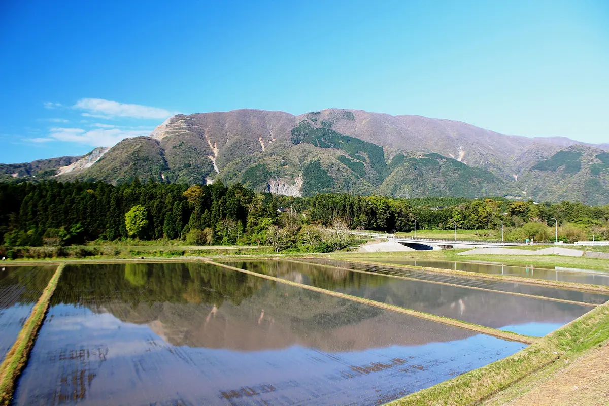
A 1,144-meter peak in Suzuka Quasi-National Park famous for its limestone landscape and seasonal alpine flower colonies.
What it is
- A 1,144-meter mountain located on the border of Mie and Shiga prefectures.
- Part of the Suzuka Mountains and designated as one of Japan's 300 Famous Mountains.
- A peak within the Suzuka Quasi-National Park featuring limestone mined by Taiheiyo Cement.
- Site of a former ski resort that originally opened in 1931.
What to see
- Natural colonies of Fukujuso and Setsubunso flowers blooming on the slopes.
- A mountain villa and public toilet facilities located near the summit.
- Views from the top of one of the designated Suzuka Seven Mountains.
- Trailheads situated near the historic Seibo-ji Temple.
Getting there
- The main trailhead is located 2.6 kilometers from Nishifujiwara Station.
- Access the mountain via trails starting near Nishifujiwara Station or Seibo-ji Temple.
07
Mount Ama
SHIGA · PLACE 天山
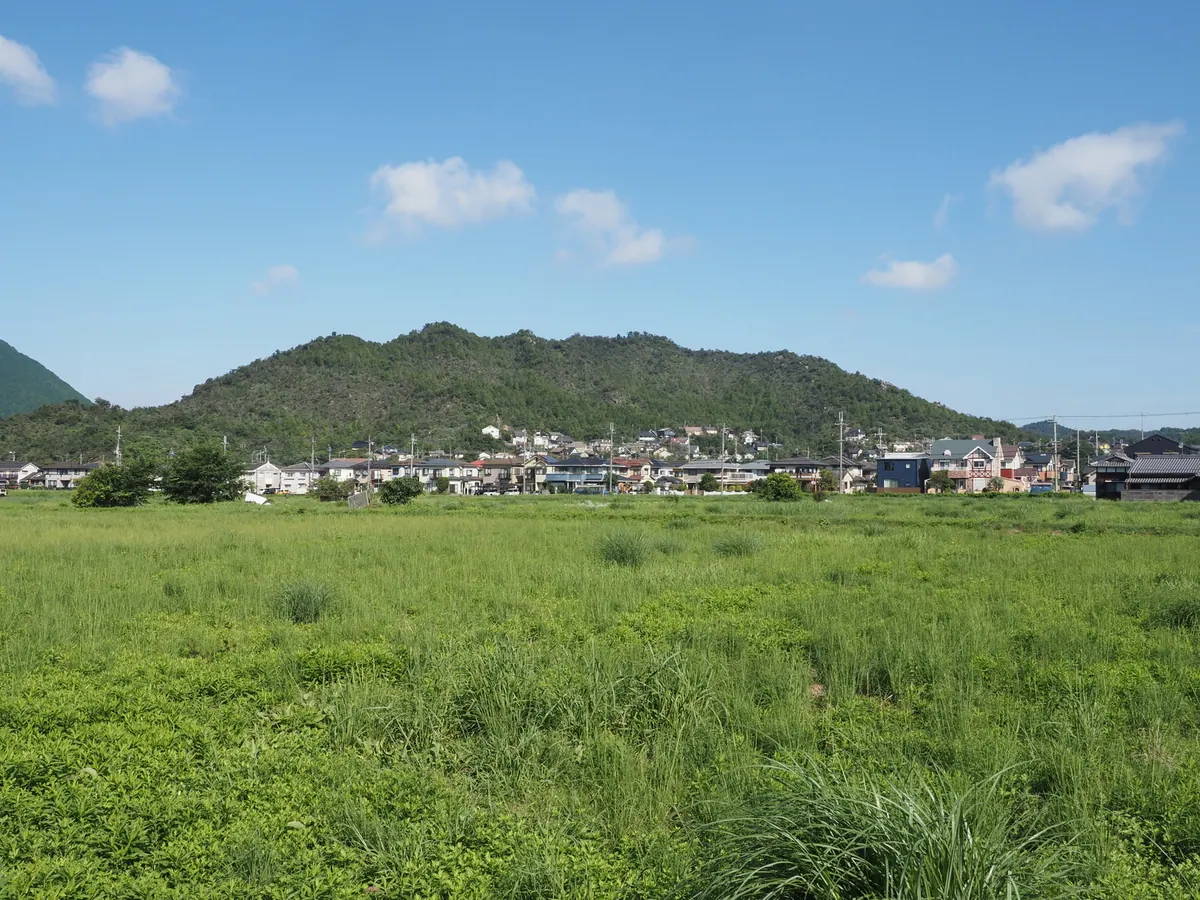
A 303-meter mountain in Shiga offering panoramic views of Lake Biwa and the surrounding peaks from its summit.
What it is
- A mountain standing 303.2 meters tall in the Bodaiji area of Konan City
- The source of the Amano River with the Sasaji River flowing on its eastern side
- A historic site identified as Mount Amano on maps dating back to 1492
- The former location of Hachioji Shrine which once stood at the southern foot
What to see
- A fourth-class triangulation point marking the highest point of the summit
- Panoramic views of Lake Biwa and Mikami Mountain from the top
- Natural river landscapes where the Amano River originates on the southern side
Getting there
- A thirty-minute walk from the Highway Side Town bus stop
- A forty-minute walk from the Kibogaoka West Gate bus stop
- A thirty-minute walk from the Karyoku Koen bus stop
08
Mount Mikami
SHIGA · PLACE 三上山
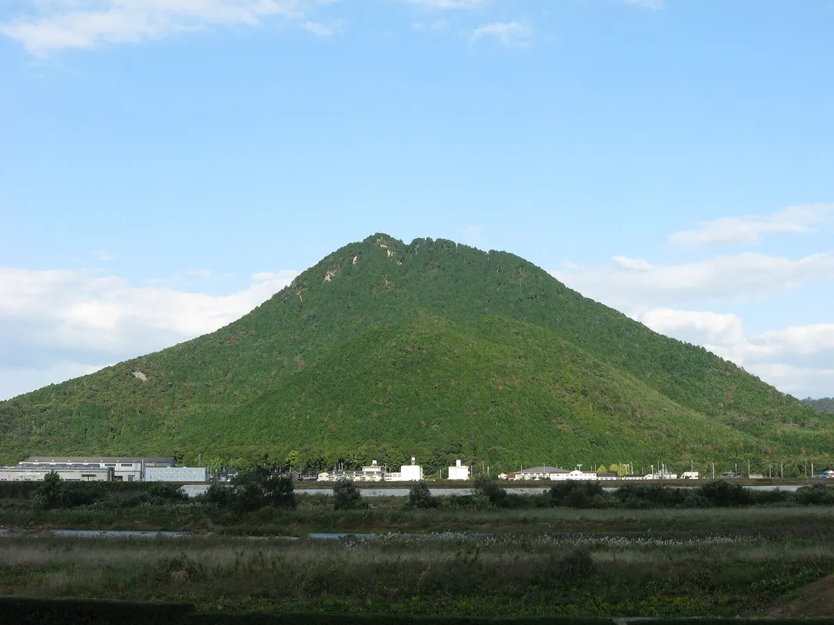
A sacred 432-meter peak known as Omi Fuji, offering historic hiking trails and connections to ancient Japanese legends.
What it is
- A 432-meter mountain in Shiga Prefecture commonly known as Omi Fuji.
- The primary object of worship for Mikami Shrine located at the foot.
- A historic site mentioned in the ancient Kojiki and Engishiki texts.
- The legendary location where Fujiwara no Hidesato killed a giant centipede.
What to see
- Mikami Shrine buildings situated at the base of the mountain.
- The Yasu River flowing along the southwestern side of the peak.
- Pine and chestnut trees planted during the seventeenth-century reforestation efforts.
- Views of the surrounding landscape from the 432-meter summit.
Getting there
- The mountain is situated two kilometers from JR Yasu Station.
- National Route 8 runs along the western foot of the mountain.
09
Amagoi Dake
SHIGA · PLACE 雨乞岳 (滋賀県)
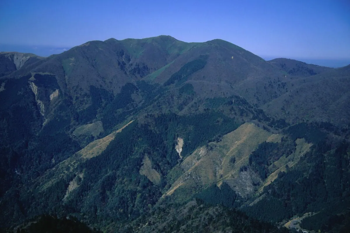
The second highest peak in the Suzuka Mountains, known for rainmaking rituals, a summit pond, and views of Lake Biwa.
What it is
- A 1,238 meter peak located on the border of Higashiomi and Koka.
- The second highest mountain in the Suzuka range and part of a Quasi-National Park.
- A traditional site for rainmaking rituals within the Suzuka Seven Mountains.
- A former mining site for silver, copper, and lead on the southern slopes.
What to see
- The Otoge-no-sawa pond located near the summit of the mountain.
- Forest green tree frogs that inhabit the pond at the peak.
- Panoramic views of Lake Biwa and the surrounding Suzuka Mountains.
- The nearby Chigusa Road where Oda Nobunaga survived an assassination attempt.
Getting there
- Hikers can access the peak via the Buhei Tunnel trailhead.
10
Hatomine
SHIGA · PLACE 羽鳥峰
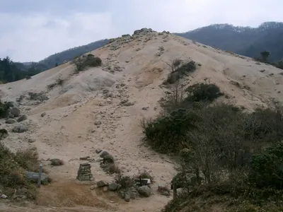
A 823-meter peak in the Suzuka Mountains featuring unique granite landscapes and high-altitude wetlands on the Mie-Shiga border.
What it is
- A mountain peak standing 823.1 meters high on the Suzuka main ridge.
- Part of the Suzuka Quasi-National Park bordering Mie and Shiga prefectures.
- A natural site featuring high-altitude wetlands and exposed granite terrain.
What to see
- White sandy ground created by exposed granite near the mountain summit.
- The Hatomine wetlands spreading across the area near the mountain ridge.
- Meiji era stone dams located within the Nekodani valley.
- Views of nearby Mount Shaka, Mount Neko, and Mount Kanayama.
Getting there
- A climbing trail ascends from the Asake Valley on the Mie side.
- A hiking route follows the Hirozawa stream from the Shiga side.
11
Mount Yokoyama
SHIGA · PLACE 横山岳
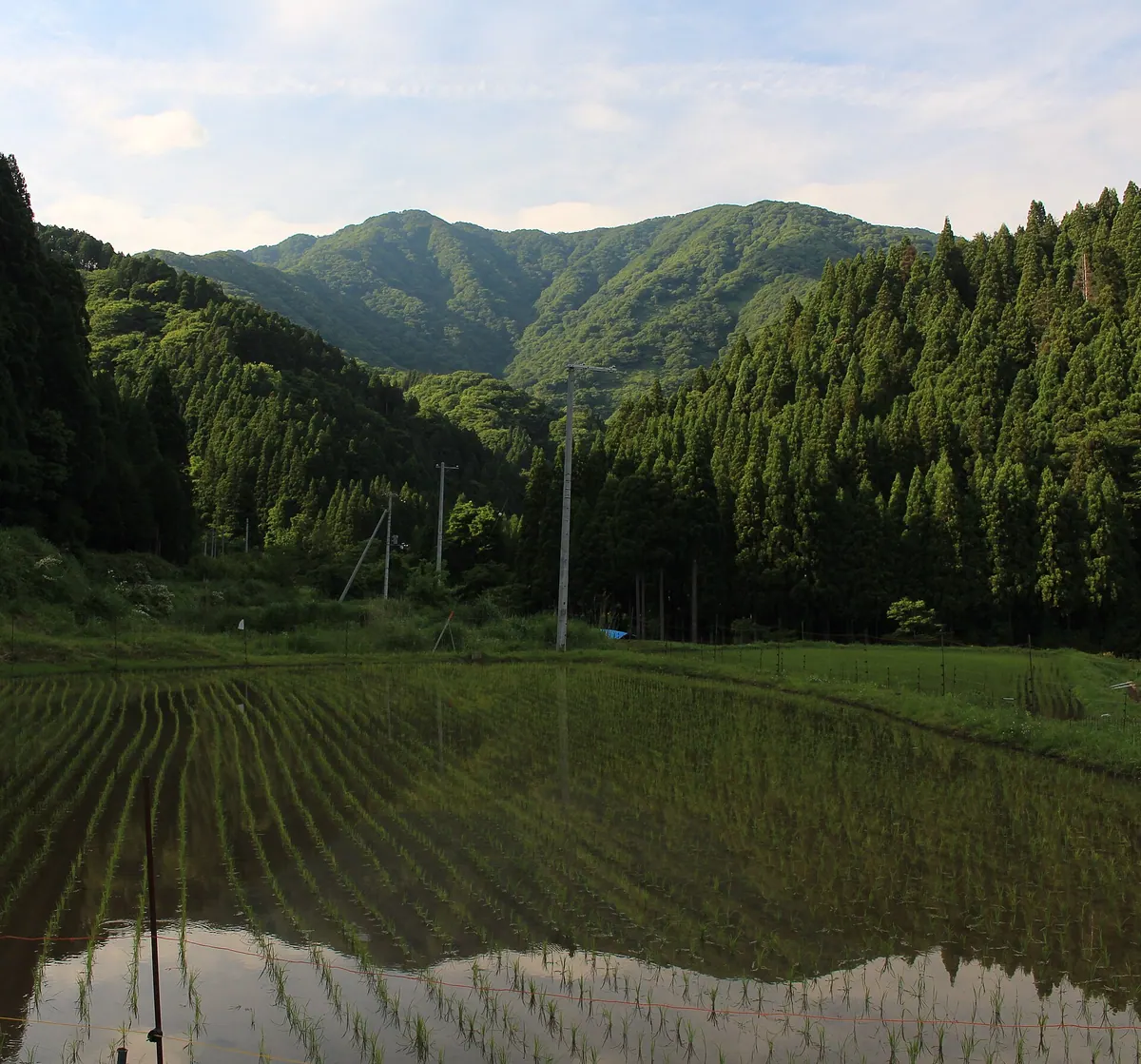
A 1,132-meter peak in Shiga offering views of Lake Biwa and seasonal wildflowers along its forested ridges.
What it is
- A 1,132-meter mountain in Nagahama consisting of a west and east peak.
- One of the Kansai 100 Famous Mountains and the source of the Takatoki River.
- A natural site featuring virgin beech forests along its eastern ridge.
What to see
- Panoramic views of Lake Yogo and Lake Biwa from the summit.
- Kyo-no-taki and Gochoshi-no-taki waterfalls located on the southern slope.
- Seasonal blooms of katakuri and wood peony flowers.
- A second-class triangulation point situated on the west peak.
When to go
- The recommended climbing season runs from mid-April to mid-November.
- A mountain opening ceremony takes place on the third Sunday of May.
12
Mount Hōrai
SHIGA · PLACE 蓬莱山
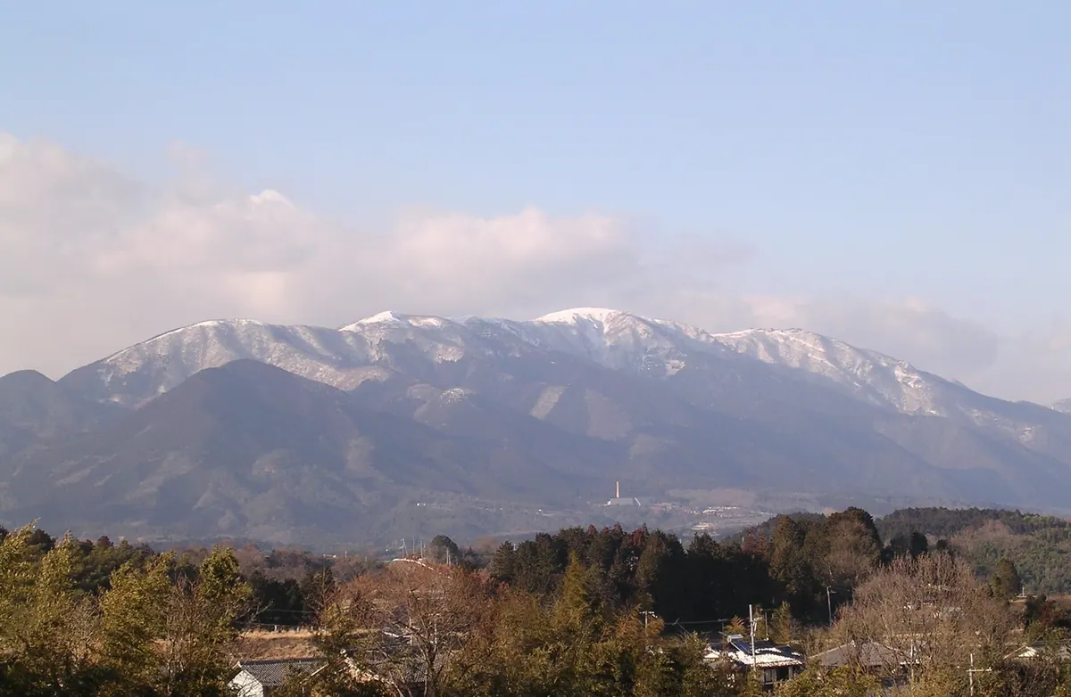
The second highest peak in the Hira range offering steep cliffs, a ski resort, and views from the summit.
What it is
- The second highest peak in the central Hira Mountains reaching 1,173 meters.
- One of Japan's 300 Famous Mountains located within Biwako Quasi-National Park.
- A mountain named after a legendary Chinese peak for immortals.
- A geological site featuring granite intruded into Paleozoic layers.
What to see
- Steep cliffs located on the eastern side of the mountain.
- The Biwako Valley ski resort situated on the northern summit.
- A first-class triangulation point located at the peak.
- A ropeway providing access to the nearby Uchimi Mountain.
Getting there
- A hiking trail connects Horai Station to the summit via Kojoro Pass.
13
Mount Bodaiji
SHIGA · PLACE 菩提寺山
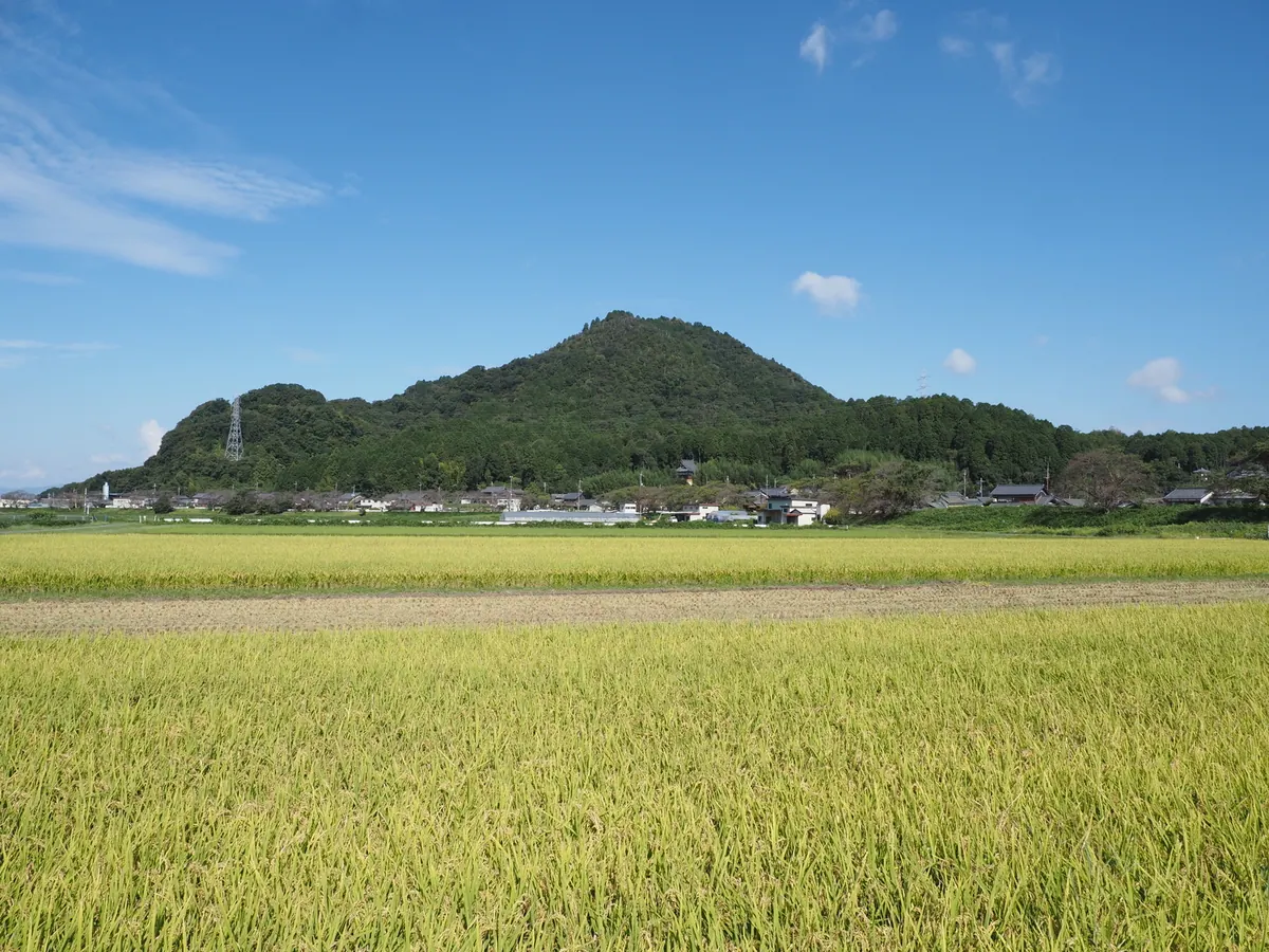
A 353-meter mountain featuring a summit shrine, ancient burial mounds, and stone statues overlooking the Yasu River.
What it is
- A mountain standing 353.3 meters high also known as Mount Ryuo.
- The site features a north peak and a south peak.
- Home to the Ryuo Shrine located at the mountain summit.
- Location of the former Shobodaiji Temple ruins and ancient burial mounds.
What to see
- Ryuo Shrine situated at the highest point of the mountain.
- Stone statues of Enma and Jizo located on the grounds.
- The Terayashiki Kofun and other ancient burial mounds.
- Views of the Yasu River flowing to the south.
Getting there
- Accessible via the Shiga Bus line to Midorinomura-higashiguchi bus stop.
- The summit is a 30-minute walk from the bus stop.
14
Mount Hyakuri
SHIGA · PLACE 百里ヶ岳
A 931-meter peak on the Takashima Trail featuring ancient beech forests and historic samurai trade routes.
What it is
- The highest peak in Obama City standing at 931.3 meters above sea level.
- A significant mountain on the central watershed and the Kansai 100 Mountains list.
- Part of the Takashima Trail hiking route bordering Shiga and Fukui prefectures.
- The source of the Onyu River with a first-class triangulation point at the summit.
What to see
- A primary forest of large beech trees surrounding the summit area.
- Designated natural monument rhododendron communities located on the northern slope.
- Negorizaka Pass on the south side, a historic section of the Saba Kaido route.
- The mountain pass used by Toyotomi Hideyoshi and Tokugawa Ieyasu after battle.
15
Mount Oike
SHIGA · PLACE 御池岳
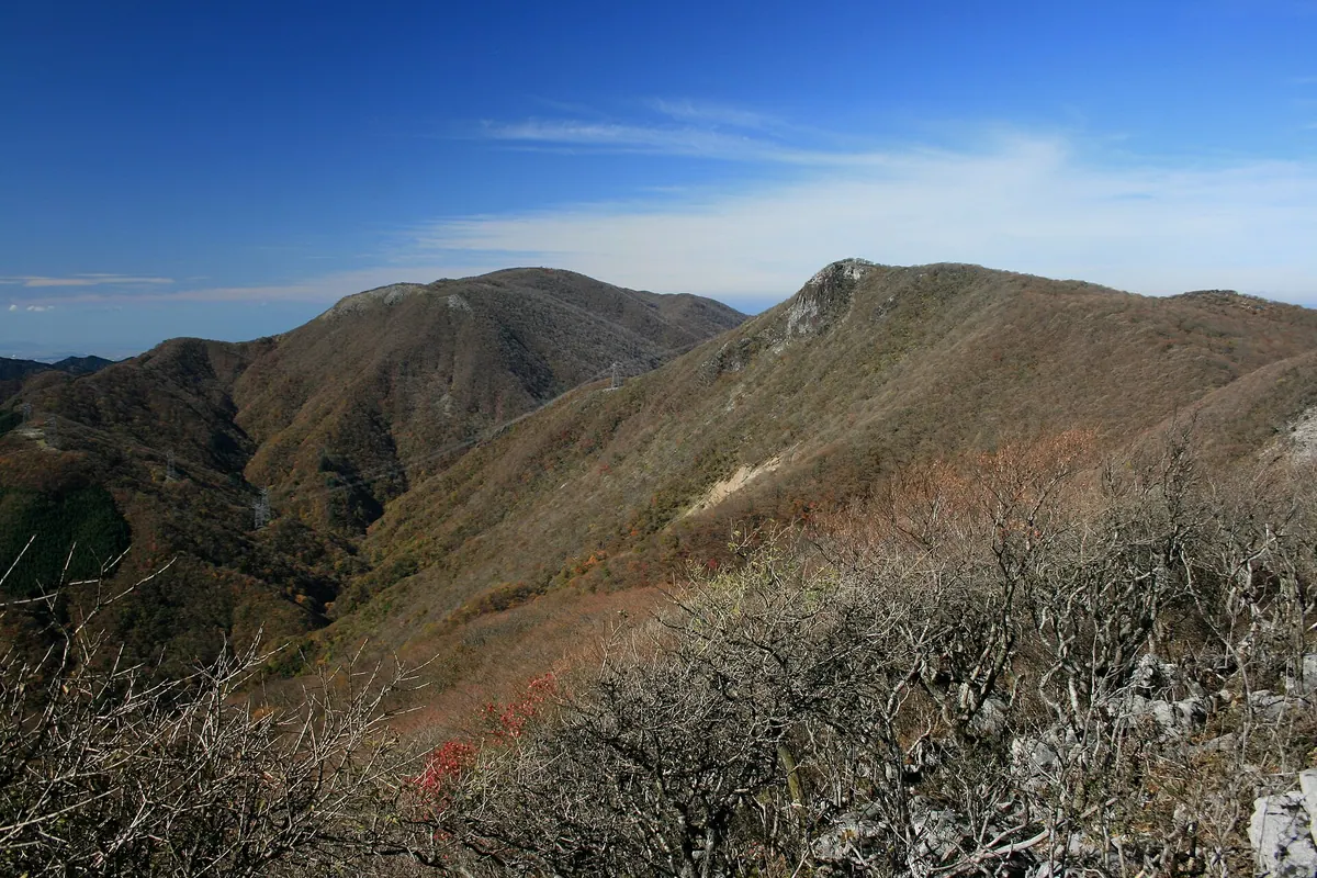
The highest peak in the Suzuka Mountains featuring a unique limestone karst plateau and scenic doline ponds at the summit.
What it is
- The highest peak in the Suzuka Mountains standing at 1,247 meters high.
- A limestone karst plateau located within the Suzuka Quasi-National Park.
- One of the Kansai 100 Mountains and part of the Suzuka 10 Seats.
- A designated wildlife protection zone made of Paleozoic limestone.
What to see
- The summit area also known as Maruyama.
- Numerous doline ponds and karrenfeld formations across the plateau.
- Views from the highest point of the Suzuka mountain range.
Getting there
- The shortest climbing path is accessible via Route 306 from Mie Prefecture.
16
Ōmikage-yama
SHIGA · PLACE 大御影山
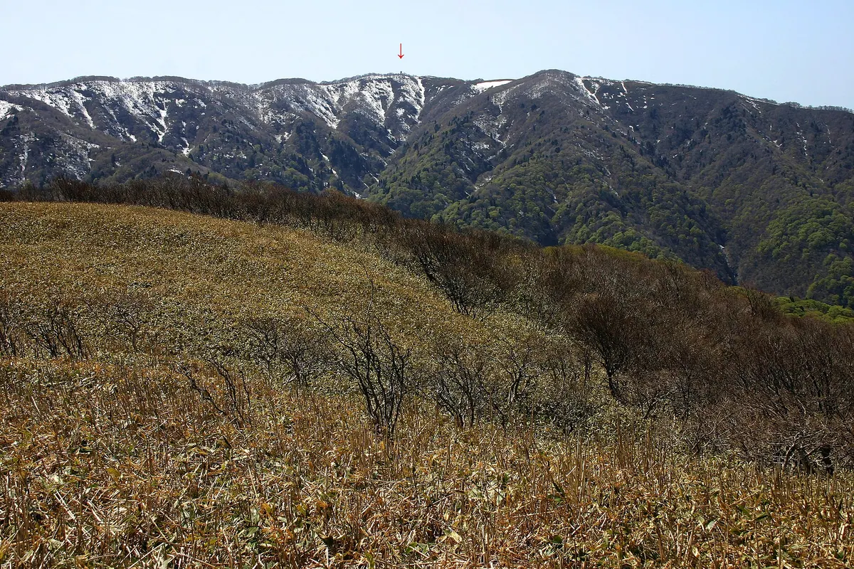
The highest peak in the Reinan region, offering a scenic ridge hike through ancient beech forests on the Takashima Trail.
What it is
- The highest peak in the Reinan region with an elevation of 950 meters.
- A mountain situated on the border of Fukui and Shiga prefectures.
- A key point along the established Takashima Trail hiking route.
- The summit features a third-class triangulation point for navigation.
What to see
- Large beech trees with diameters reaching 50 centimeters along the ridge.
- Natural forests of Mizunara and beech growing near the prefectural border.
- A mountain trail leading from the ridge to the summit peak.
- Views from the highest elevation point bordering Mihama Town and Takashima City.
17
Mount Odani
SHIGA · PLACE 小谷山
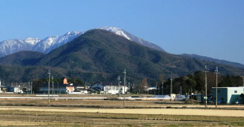
A historic 494-meter mountain in Shiga featuring the ruins of Odani Castle and a designated national historical site.
What it is
- A 494.6-meter peak in the Ibuki Mountain Range also known as Mount Azai.
- The former site of Odani Castle built during the Sengoku period.
- A designated historical site that was historically referred to as Ozuku.
- A mountain area located near the historic Hokkoku Kaido road.
What to see
- The ruins of the Odani Castle guardhouse located near the main trailhead.
- Sugatani Onsen situated at the eastern foot of the mountain.
- Shimizu Shrine in Kohoku Town near the start of a climbing route.
- Views of Mount Toragozen located to the southwest of the peak.
18
Mount Otowa
SHIGA · PLACE 音羽山
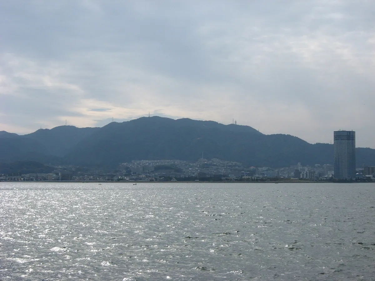
A 593-meter peak on the Kyoto-Shiga border offering hiking along the Tokai Nature Trail and historical poetic significance.
What it is
- A 593.2-meter mountain serving as the highest peak in Kyoto's Yamashina Ward.
- Site of Hogon-ji Temple which was founded during the Enryaku era.
- A famous location in classical Japanese poetry known as an utamakura.
- Part of the eastern ridge belongs to the Biwako Quasi-National Park.
What to see
- Hiking paths along the Tokai Nature Trail that pass through the mountain area.
- The Biwako Broadcasting headquarters located on the Shiga side slope.
- Views from the highest point on the border of Kyoto and Shiga prefectures.
19
Mount Ōsaka
SHIGA · PLACE 逢坂山
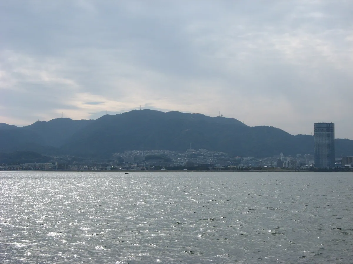
A 325-meter peak in Otsu City featuring a historic barrier site, a poet's shrine, and major transit tunnels.
What it is
- A 325-meter mountain in western Otsu City also known as Sekiyama
- Site of the historic Osaka Barrier located at the southern border
- Part of the Biwako Quasi-National Park area
- Location of the Seki Semimaru Shrine dedicated to the poet Semimaru
What to see
- A stone monument marking the barrier site along National Route 1
- The Seki Semimaru Shrine dedicated to the famous poet
- A third-class triangulation point located at the summit
- The Tokai Nature Trail running along the eastern foot of the mountain