

20 Mountains in Tochigi worth your time
Japan Gems
23 Mountains in Tochigi, with what to see and how to get there.
Tochigi has 23 mountains on Japan Gems. Below are the 20 we can tell you the most about — each one written up in English from Japanese sources, with what to see and how to get there. See all mountains in Tochigi.
01
Mount Ōhira
TOCHIGI · PLACE 太平山
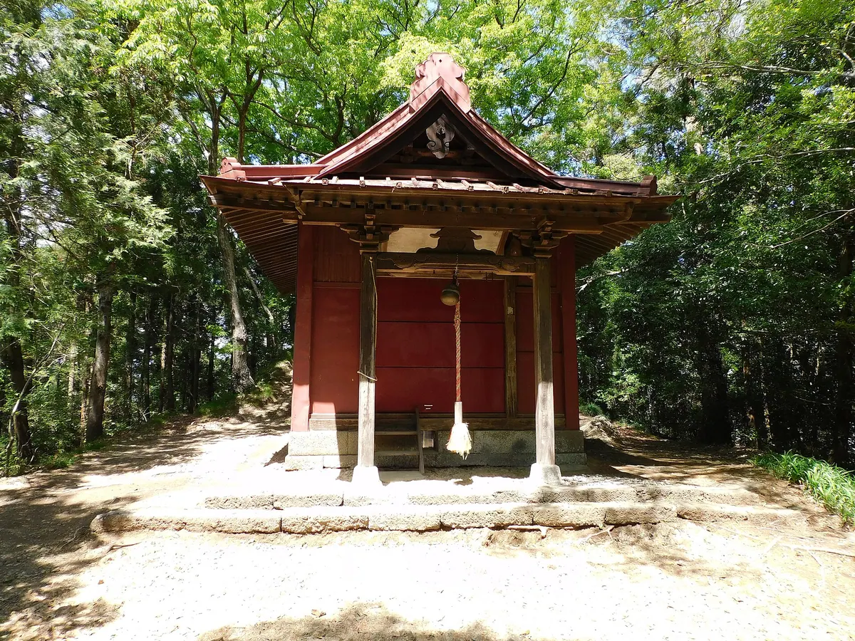
A 341-meter mountain in Tochigi featuring a historic shrine, castle ruins, and panoramic views of Mount Fuji and Tokyo Skytree.
What it is
- A scenic mountain standing 341 meters tall in Tochigi City.
- Home to Ohira-san Shrine and the historical ruins of Ohira Castle.
- A designated Japan Night View Heritage site with views of the Kanto Plain.
- Site of Daichuji Temple located at the base of the mountain.
What to see
- Kenshindaira viewpoint offering views of Tokyo Skytree and Mount Fuji on clear days.
- Ajisai-zaka approach lined with approximately 2,500 blooming hydrangeas.
- Fuji Sengen Shrine located at the mountain summit.
- Local food stalls serving dumplings, tamagoyaki, and yakitori.
When to go
- Visit in June to see the hydrangeas in bloom along the approach.
- Evening visits are popular for the recognized heritage night views.
- Note that the mountain road has traffic restrictions during late night hours.
Getting there
- Accessible by taking a bus from Tochigi Station.
02
Mount Shakujō (Yamizo Mountains)
TOCHIGI · PLACE 尺丈山
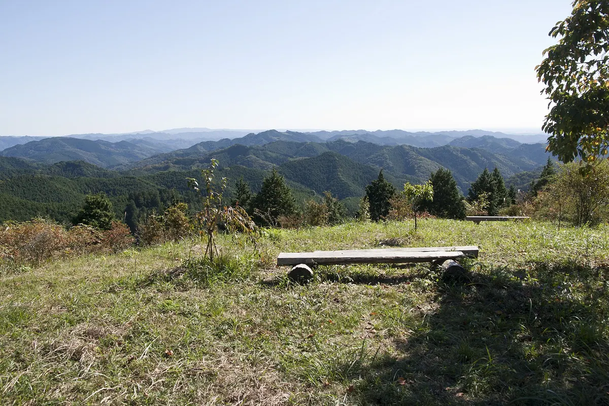
A 511-meter peak on the Ibaraki-Tochigi border featuring a summit shrine and views of Mount Fuji in winter.
What it is
- A mountain standing 511.5 meters above sea level in the Washiko range.
- The site of Mount Shakujō Komagata Shrine located at the summit.
- A peak spanning the border of Ibaraki and Tochigi prefectures.
- The location of a forest restoration project that began in 1997.
What to see
- Mount Fuji is visible from the peak during the winter season.
- An observation hut and restroom facilities located at the summit.
- Areas affected by forest fires that occurred in 2001 and 2004.
- Panoramic views from the border of Hitachiomiya, Daigo, and Nakagawa.
When to go
- Winter provides the best visibility for seeing Mount Fuji from the peak.
Getting there
- Accessible by vehicle via a forest road leading to the summit area.
- Reached via National Route 293 to the hiking trail entrance.
- A parking lot marks the starting point for visitors on foot.
03
Mount Taishaku
TOCHIGI · PLACE 帝釈山
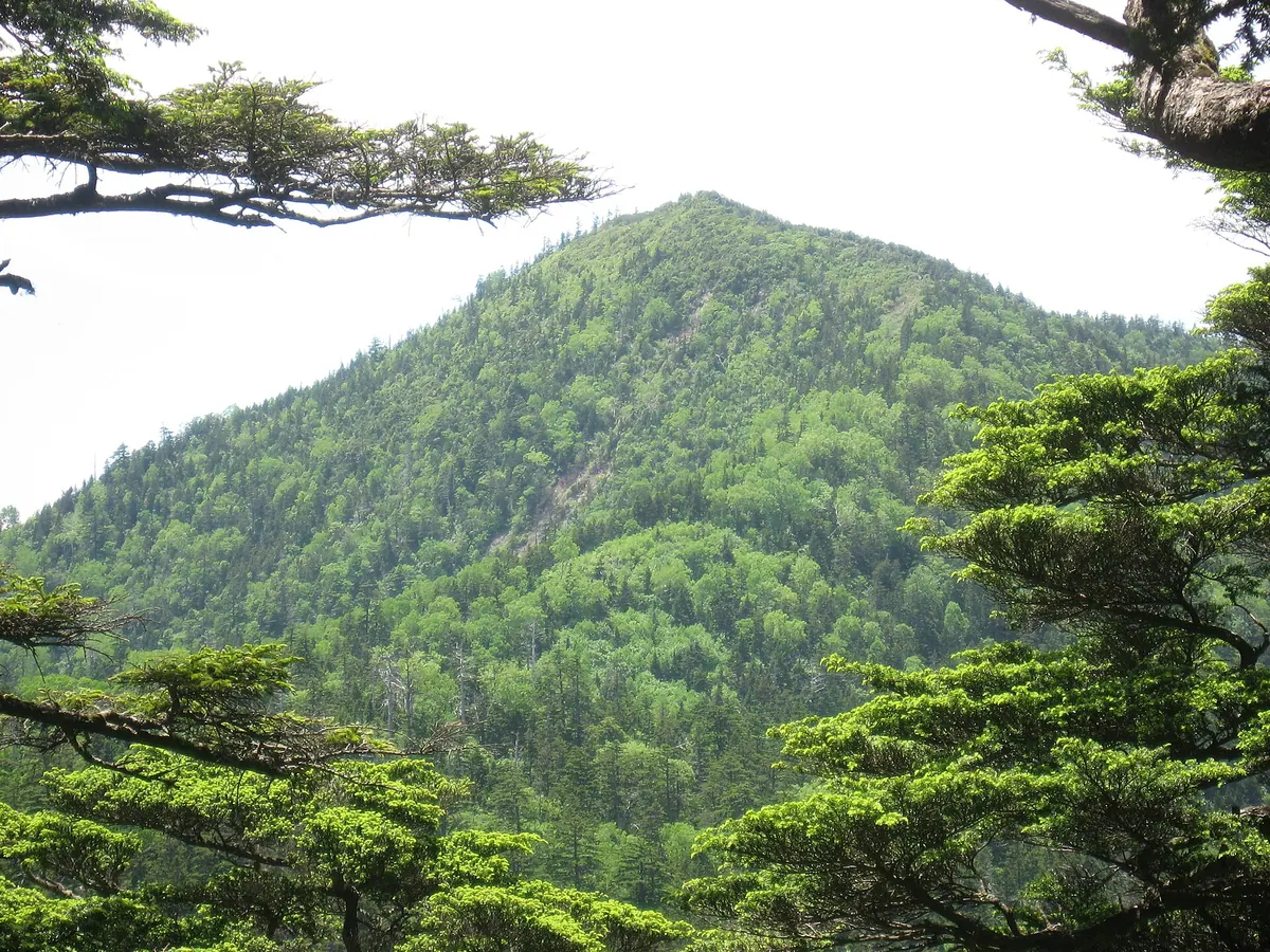
A 2,060-meter peak in Oze National Park offering panoramic views and rare alpine flowers along the border of Tochigi and Fukushima.
What it is
- A 2,060-meter mountain located on the border of Nikko City and Hinoemata.
- Designated as part of Oze National Park in 2007.
- One of the 200 Famous Japanese Mountains featuring a second-class triangulation point at the summit.
- A prominent peak within the Taishaku Mountain Range.
What to see
- Osabagusa flowers blooming across the mountain slopes.
- Panoramic views of Mount Nasu and Mount Nantai from the summit.
- Diverse alpine landscapes protected within the national park boundaries.
When to go
- Mid-June to early July to see the Osabagusa flowers in bloom.
Getting there
- One hour hike to the summit starting from the Masaka Pass trailhead.
- Three hour hike to the summit starting from the Sarukura trailhead via Prefectural Road 350.
- Access the Masaka Pass trailhead via the local forest road.
04
Mount Hangetsu
TOCHIGI · PLACE 半月山
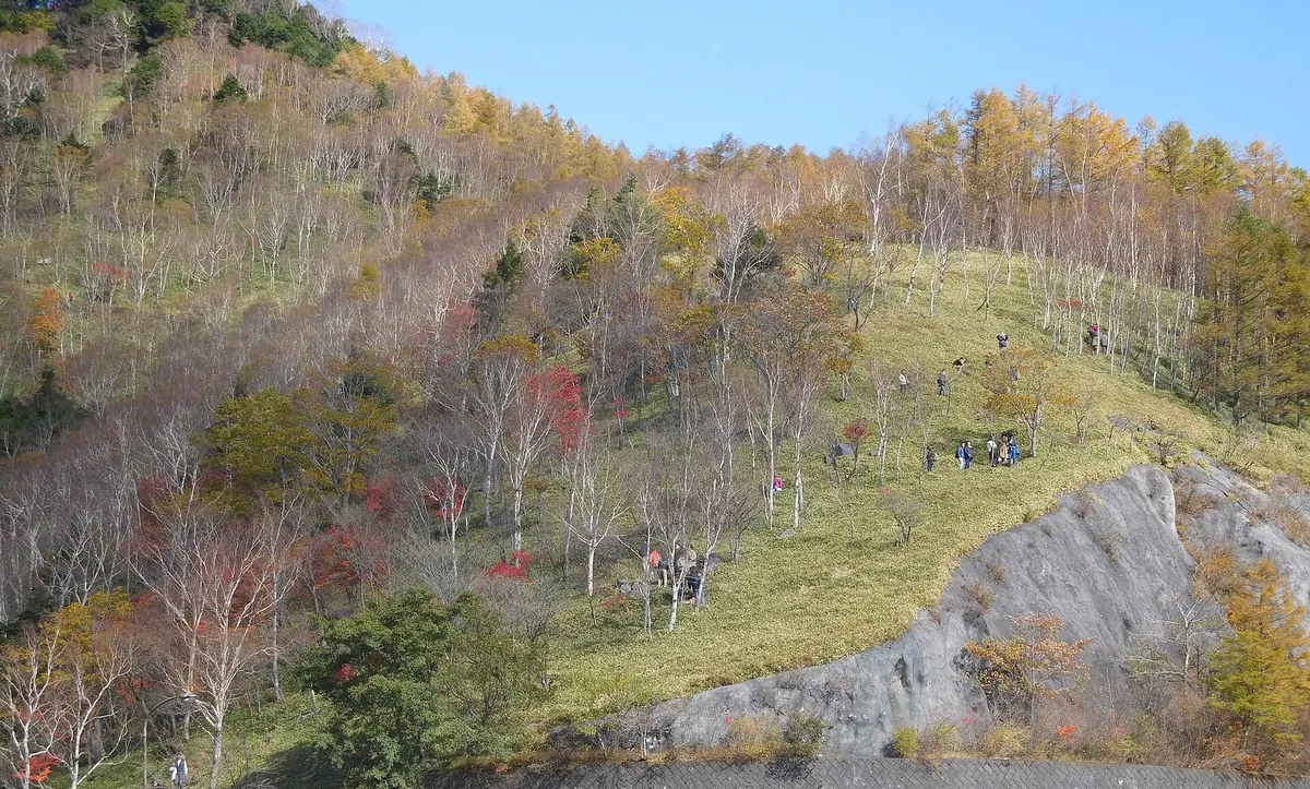
A peak in the Ashio Mountains offering panoramic views of Lake Chuzenji and Mount Nantai from a wooden observation deck.
What it is
- A mountain peak located in the Ashio Mountains of Nikko City
- The summit features a third-class triangulation point for geographical measurement
- Hangetsu Pass opened in 1920 to connect the Nikko and Ashio areas
What to see
- A wooden observation deck located two hundred meters west of the summit
- Panoramic views of Mount Nantai and the waters of Lake Chuzenji
- Broadleaf forests consisting of native maple and beech trees
- Local wildlife including wild monkeys and deer inhabiting the slopes
When to go
- The best period for climbing is between May and November
- Access is restricted during the winter when the skyline road closes
Getting there
- Tobu Bus Nikko operates a seasonal bus route directly to the mountain
- The Chuzenji Lake Skyline road provides vehicle access to the trailhead
05
Mount Komanako
TOCHIGI · PLACE 小真名子山
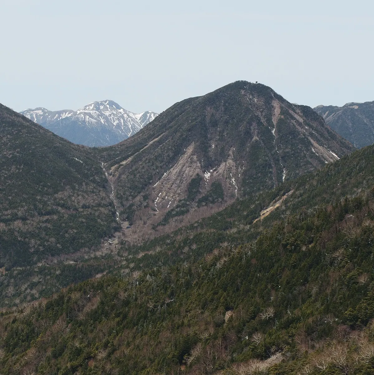
A 2,323-meter lava dome in Nikko National Park offering a high-altitude shrine and scenic ridge trails between neighboring peaks.
What it is
- A Quaternary lava dome standing at an elevation of 2,323 meters.
- Part of the Nikko National Park mountain range in Tochigi Prefecture.
- Named the grandchild mountain, situated between Mount Omanako and Mount Taishaku.
- A peak featuring a third-class triangulation point at its highest point.
What to see
- Komanako Shrine located directly at the mountain summit.
- Views of the southern Kanto region visible from the peak on clear days.
- A mountain trail connecting the summit to Mount Omanako and Mount Taishaku.
- The surrounding volcanic landscape of the Nikko mountain range.
Getting there
- Begin the hike from the Shizu Norikoe trailhead in Okunikko.
- Reach the summit via a ninety-minute hike from Mount Omanako.
- Connect to Mount Taishaku via a trail taking approximately two hours.
06
Mount Myōjin
TOCHIGI · PLACE 明神山
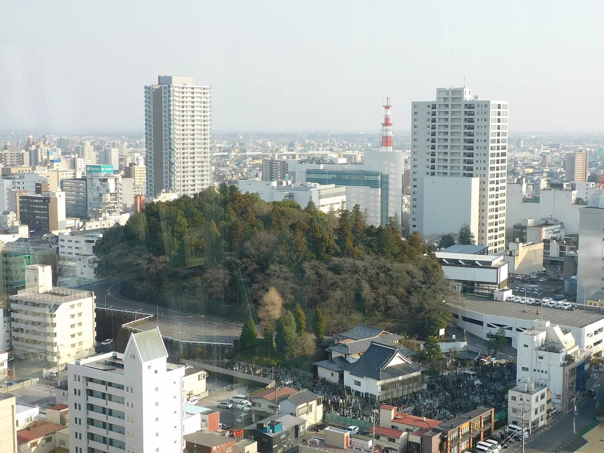
A 135-meter peak in central Utsunomiya featuring a historic shrine and dense greenery amidst the city business district.
What it is
- A 135-meter mountain also known as Usugamine in central Utsunomiya City.
- The southernmost part of the Utsunomiya Hills covered with dense green trees.
- The site of Utsunomiya Futarasan Shrine located at the mountain summit.
- A natural landmark that gave its name to the shrine alias Utsunomiya Myōjin.
What to see
- Utsunomiya Futarasan Shrine situated at the top of the mountain.
- Dense green forests providing a natural escape within the central business district.
- Views of the flat land to the south where Utsunomiya Castle once stood.
Getting there
- A 20-minute walk from JR Utsunomiya Station to the mountain area.
- A 10-minute walk from Tobu Utsunomiya Station for visitors arriving by train.
- Buses from JR Utsunomiya Station stop at the Futarasan-mae station nearby.
07
Mount Taishaku
TOCHIGI · PLACE 帝釈山
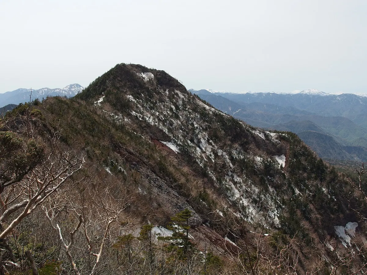
A 2,455-meter peak in Nikko National Park offering challenging ridge hikes and historical ties to the deity Taishakuten.
What it is
- A mountain peak standing at an elevation of 2,455 meters in Nikko National Park.
- The summit formerly served as a site dedicated to the deity Taishakuten.
- It is situated between Mount Nyōhō and Mount Komanago along a maintained trail.
- The mountain lacks a formal triangulation point at its highest point.
What to see
- The narrow connecting ridge to Mount Nyōhō known as Uma no Sewatari.
- One of the three famous Nikko precipices along the mountain ridge.
- Panoramic views of the surrounding Nikko mountain range from the summit.
Getting there
- Hikers can access the mountain trail starting from Shizu Pass.
- Hiking routes to the peak are available from Takinoo Shrine.
- The mountain is accessible via trails starting at the Kirifuri Plateau.
08
Mount Chausu
TOCHIGI · PLACE 茶臼岳
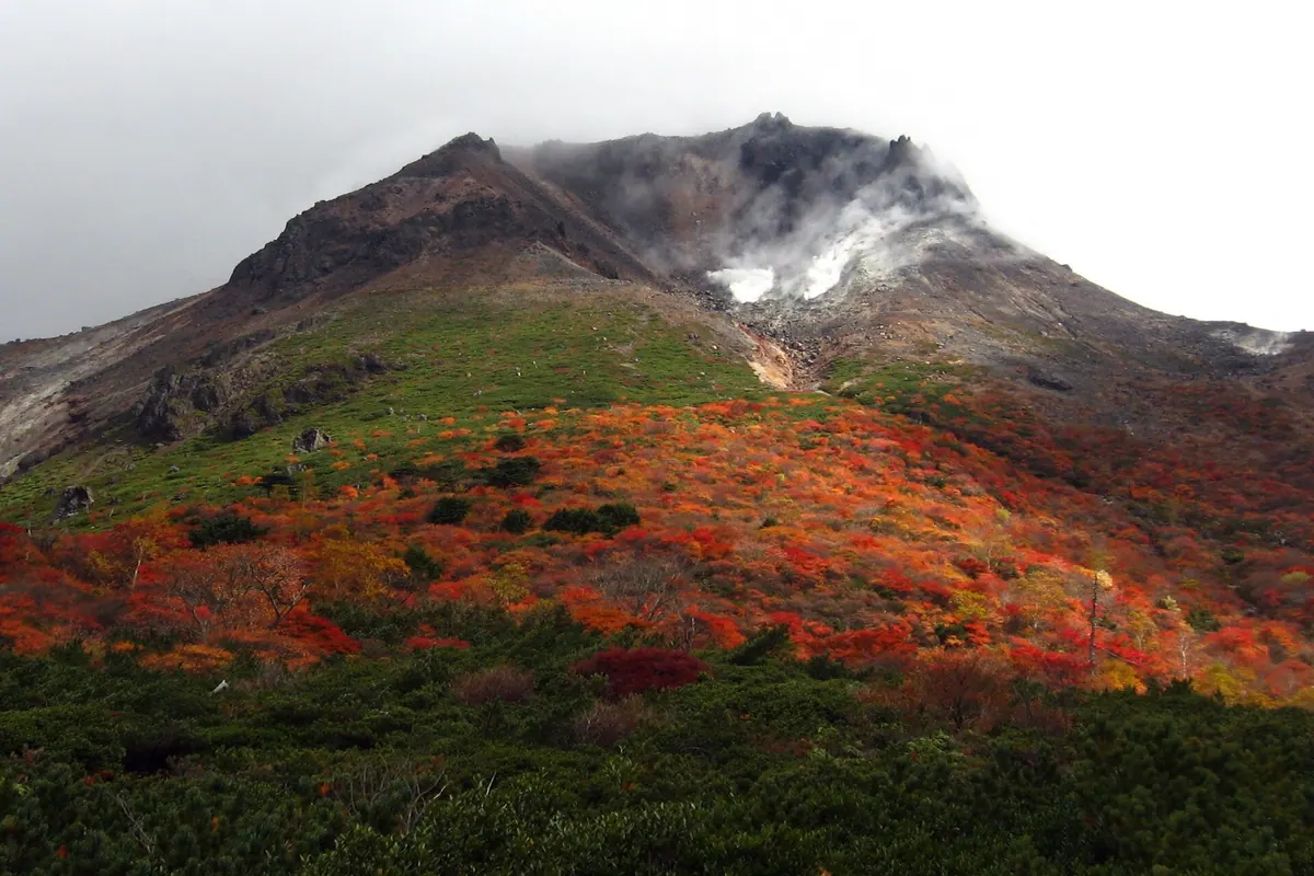
A 1,915-meter active stratovolcano in Nikko National Park offering a summit shrine and accessible hiking via a ropeway.
What it is
- A 1,915-meter stratovolcano and the main peak of the Nasu Mountains.
- One of Japan's 100 Famous Mountains located within Nikko National Park.
- An active volcano featuring a lava dome formed during the 15th century.
- The site of Nasu Onsen Shrine Okumiya which stands at the summit.
What to see
- The summit shrine dedicated to the local mountain deity.
- The Numappara Marshland located on the western side of the peak.
- Headwaters of the Yosasa River flowing from the eastern foot.
- Views of the surrounding Nasu range from the upper slopes.
Getting there
- Bus services run to the area from Kuroiso and Nasushiobara stations.
- A ropeway connects the mountain base to the upper slopes.
- The main trailhead for hikers is located at Toge no Chaya.
09
Mount Tarō
TOCHIGI · PLACE 太郎山
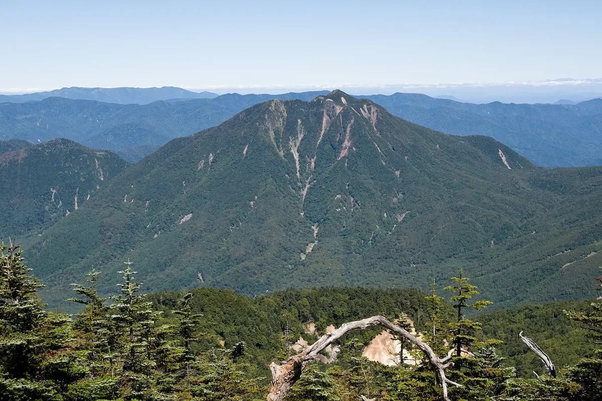
A 2,368-meter volcano in Nikko featuring a summit shrine and one of Japan's 300 Famous Mountains.
What it is
- A 2,368-meter volcano located in Nikko City within Tochigi Prefecture.
- One of the Nikko Sanzan peaks alongside Mount Nantai and Mount Nyoho.
- A dacite lava dome listed as one of Japan's 300 Famous Mountains.
- Home to the Taro-san Shrine dedicated to the deity Ajisukitakahikone-no-mikoto.
What to see
- Taro-san Shrine located at the very summit of the mountain.
- The Flower Garden area situated in a former crater at 2,280 meters.
- Dense coniferous forests of Northern Japanese Hemlock covering the upper slopes.
- The Shin-nagi landslide area known as one of Nikko's three steep places.
Getting there
- Climbing routes are accessible starting from Shizu Pass and Sanno Pass.
- The hiking trail from Kotoku Onsen is currently closed to the public.
10
Mount Mikamo
TOCHIGI · PLACE 三毳山
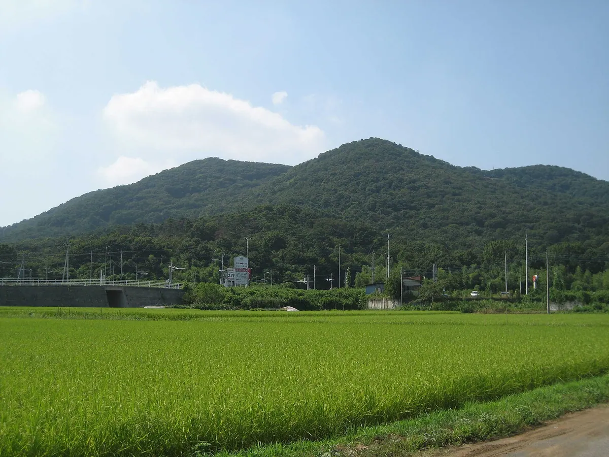
A historic mountain park in Tochigi featuring seasonal flowers, hiking trails, and mentions in ancient Japanese poetry.
What it is
- A mountain range extending 3.5 kilometers on the edge of the Kanto Plain.
- The southern portion of the mountain is preserved as Mikamo Mountain Park.
- A historic site mentioned in the Man'yoshu, Japan's oldest poetry collection.
- The highest peak, Seiryugatake, reaches an elevation of 229 meters.
What to see
- A colony of Katakuri flowers located on the northern side of the mountain.
- Flower trains that transport visitors from the east, west, and south entrances.
- The southeastern foot where the ancient Tosando road once passed.
Getting there
- The nearest train stations are Iwafune Station and Shizuwa Station.
- A bus stop is available at the Michi-no-Eki Mikamo rest area.
- Drivers can access the area via the Sano-Fujioka Interchange.
11
Mount Nantai
TOCHIGI · PLACE 男体山
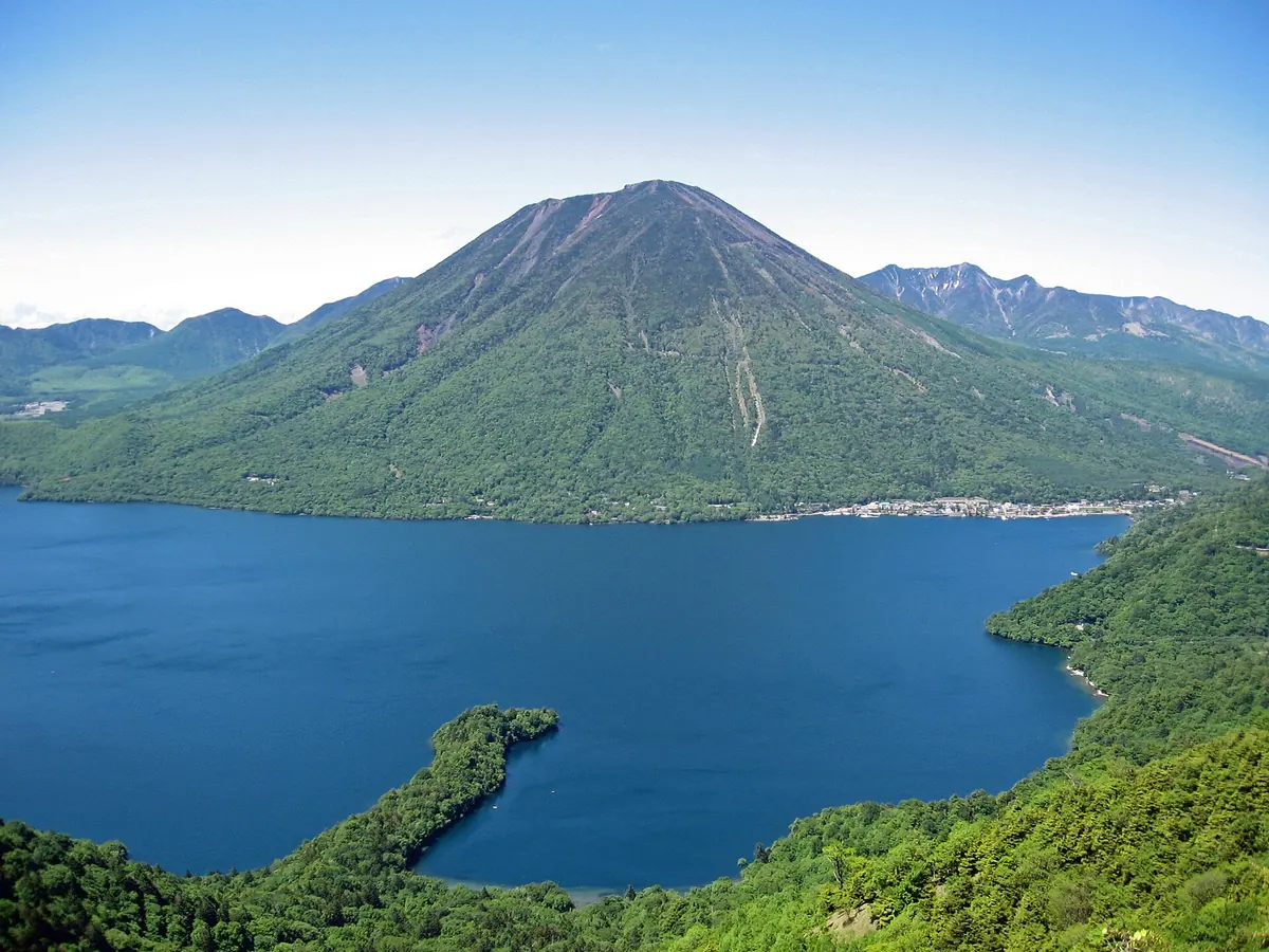
A sacred 2,486-meter volcano in Nikko National Park offering a challenging hike to a summit shrine and historic sword.
What it is
- An active stratovolcano standing 2,486 meters high within Nikko National Park
- The site of the Okumiya shrine belonging to Nikko Futarasan Jinja
- One of the 100 Famous Japanese Mountains first climbed by Monk Shodo in 782
- The volcanic source of the nearby Lake Chuzenji and Kegon Falls
What to see
- The Okumiya shrine located at the mountain summit
- A large stainless steel sword installed at the peak in 2012
- A first-class triangulation point positioned at 2,484.15 meters
- Views of the surrounding Nikko Volcanic Group and Lake Chuzenji
When to go
- Climbing is permitted annually from April 25 to November 11
Getting there
- Buses run from Tobu-Nikko Station directly to the trailhead at Chugushi
12
Mount Iwafune
TOCHIGI · PLACE 岩船山
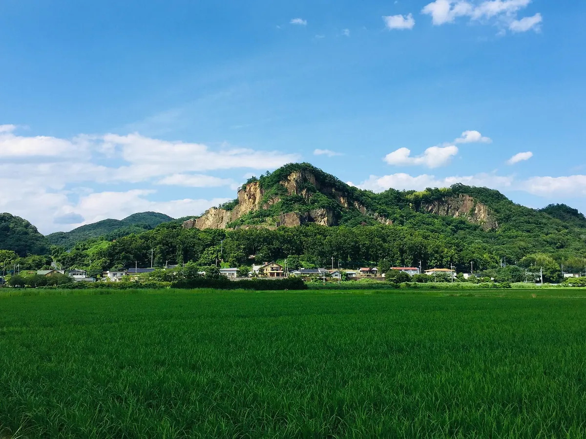
A sacred mountain and former stone quarry famous for its dramatic cliffs and as a filming location for explosion scenes.
What it is
- A 172.7 meter peak located at the southernmost point of the Ashio Mountains.
- One of Japan's three major sacred mountains and home to Koshoji Temple.
- A former quarry site where Iwafune stone was extracted from the Edo period until 2022.
- A popular filming location for special effects scenes and Super Sentai series explosions.
What to see
- The dramatic quarry site used for outdoor concerts and television filming.
- Koshoji Temple located on the mountain grounds.
- Visible sections of the mountain that collapsed during the 2011 Tohoku earthquake.
- A museum dedicated to Iwafune stone located near the local train station.
When to go
- The Cliff Stage outdoor concert is held annually at the quarry site.
13
Mount Takahara
TOCHIGI · PLACE 高原山
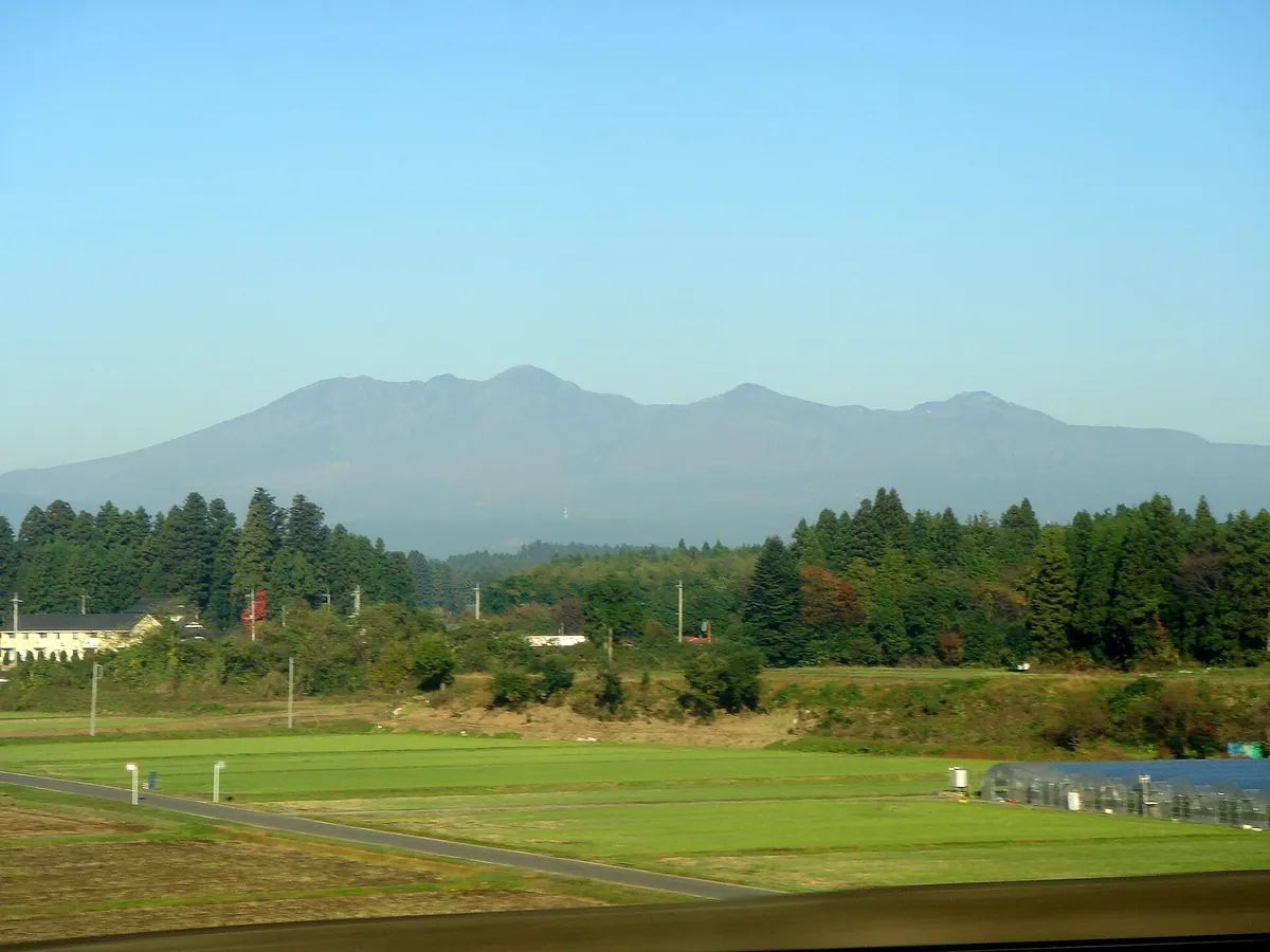
An active volcanic mountain in Nikko National Park featuring the highest peak of Mount Shakka and Japan's oldest obsidian mine.
What it is
- An active volcano located within the boundaries of Nikko National Park.
- One of the 300 Famous Japanese Mountains spanning four different cities.
- A geological site containing the oldest obsidian mining location in Japan.
- A mountain complex consisting of the Shiobara and Shakkagatake volcanic groups.
What to see
- The highest peak of Mount Shakka reaching 1,795 meters in elevation.
- The Fuji lava dome formed by a steam explosion 6,500 years ago.
- Shojin沢 Springs, recognized as one of the top 100 waters in Japan.
- Keicho-zan Shrine located at the summit of Mount Keicho.
- Hunter Mountain Shiobara ski resort situated on the mountain slopes.
- A digital broadcasting relay station established on the site in 2006.
14
Mount Hagafuji
TOCHIGI · PLACE 芳賀富士
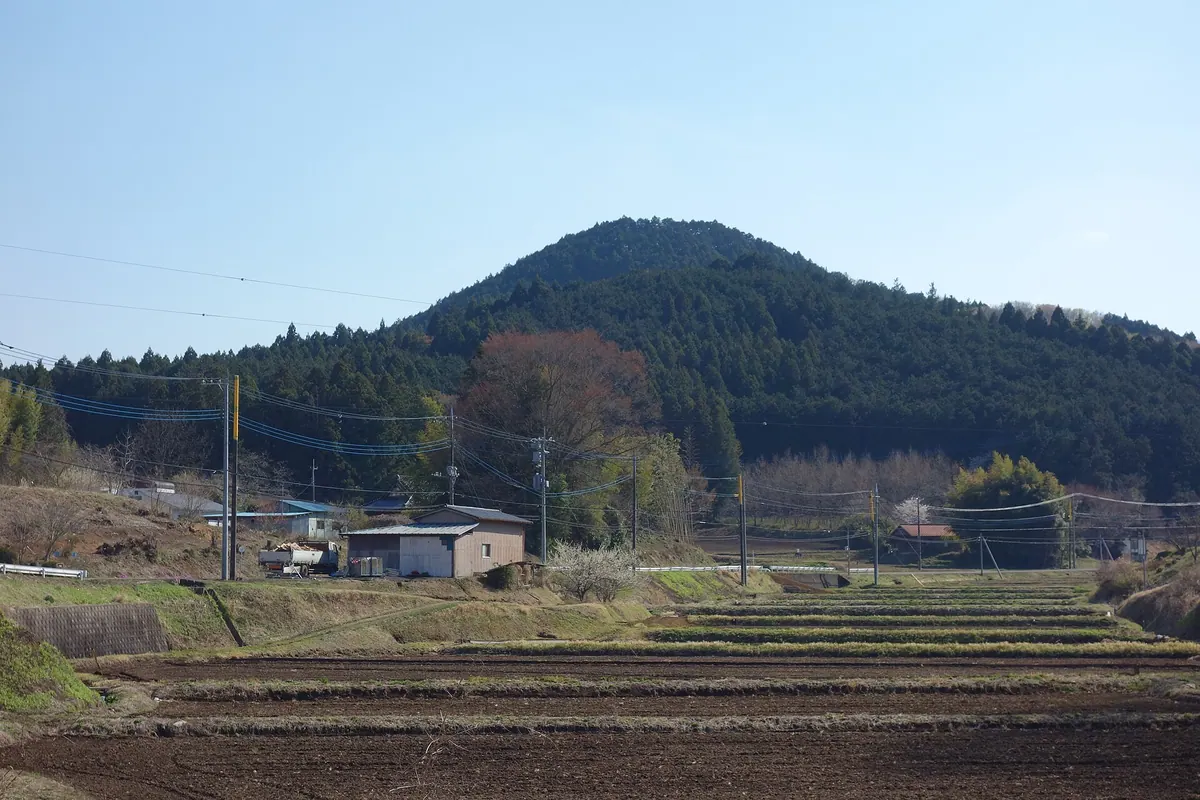
A 272-meter peak in Mashiko offering views of Mount Tsukuba and historic temple grounds with famous weeping cherry blossoms.
What it is
- A 272-meter mountain also known as Mount Ohira located in Mashiko and Motegi.
- One of the Tochigi One Hundred Famous Mountains and part of the Kanto Fureai no Michi.
- Site of Anzen-ji Temple and Kumano Shrine reportedly built by Taira no Sadayoshi.
What to see
- A lawn area at the summit featuring several cherry trees.
- Views of Mount Tsukuba visible from the top of the mountain.
- Anzen-ji Temple which is famous for its weeping cherry blossoms.
- Kumano Shrine located at the base of the fifteen-minute climb to the summit.
Getting there
- The trailhead is a fifteen-minute drive from Nanai Station.
- The hike from Kumano Shrine to the summit takes approximately fifteen minutes.
15
Mount Asahi
TOCHIGI · PLACE 朝日岳
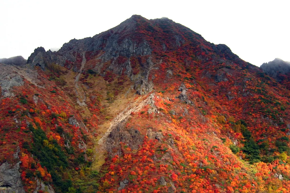
A 1,896-meter andesite stratovolcano in Nikko National Park offering a moderately challenging climb with dramatic volcanic scenery.
What it is
- A volcano in Nasu Town located within the borders of Nikko National Park.
- The third highest peak among the Mount Nasu mountain group.
- An andesite stratovolcano formed between 200,000 and 100,000 years ago.
- A peak standing at an elevation of 1,896 meters above sea level.
What to see
- Steep volcanic slopes equipped with safety chains for hikers to navigate.
- Views of the surrounding peaks including Mount Chausu located 1.8 kilometers away.
- Rugged terrain rated as a level B difficulty on a five-point scale.
Getting there
- One climbing route begins at the Nasu Ropeway Sanroku Station.
- A secondary trail starts from the Toge no Chaya parking lot.
16
Mount Nyohō
TOCHIGI · PLACE 女峰山
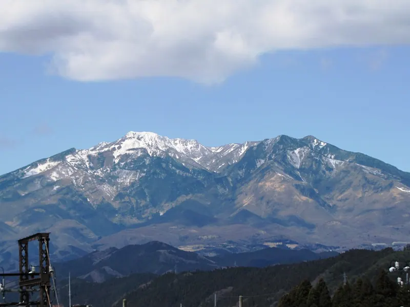
A 2,483-meter stratovolcano in Nikko offering challenging hikes, sacred summit shrines, and views of the Nikko Three Mountains.
What it is
- A 2,483-meter stratovolcano and one of the Nikko Three Mountains.
- One of the 200 Remarkable Mountains of Japan that last erupted 86,000 years ago.
- A sacred peak enshrining the deity Tagorihime no Mikoto at the summit.
- A mountain connected by ridges to Mount Akanagi and Mount Taishaku.
What to see
- A second-class triangulation point located at the mountain summit.
- The Unryu Valley on the southeast side featuring many waterfalls.
- A staircase with 1,445 steps leading up from the Kirifuri Highlands.
- The main hiking trail starting from the Nikko Futarasan Shrine.
Getting there
- The ascent from Nikko City takes approximately six hours on foot.
17
Mount Haguro
TOCHIGI · PLACE 羽黒山
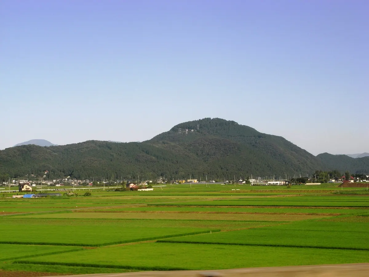
A 480-meter peak featuring an ancient summit shrine and a traditional harvest festival involving long bamboo poles.
What it is
- A mountain standing on the west bank of the Nishi-Kinu River.
- Site of the Hagurosan Shrine located at the summit.
- Originally named Kawachi-yama before a deity was invited from Dewa Province.
- Host to FM radio and digital television broadcasting facilities for the region.
What to see
- The Hagurosan Shrine situated at the highest point of the mountain.
- NHK-FM and digital television relay stations used for regional broadcasting.
- Views from a summit reaching between 470 and 480 meters high.
When to go
- The annual Bonten Festival held on the third Saturday of November.
- Mid-November to see participants carry long bamboo poles to the summit.
18
Omanago Group
TOCHIGI · PLACE 大真名子山
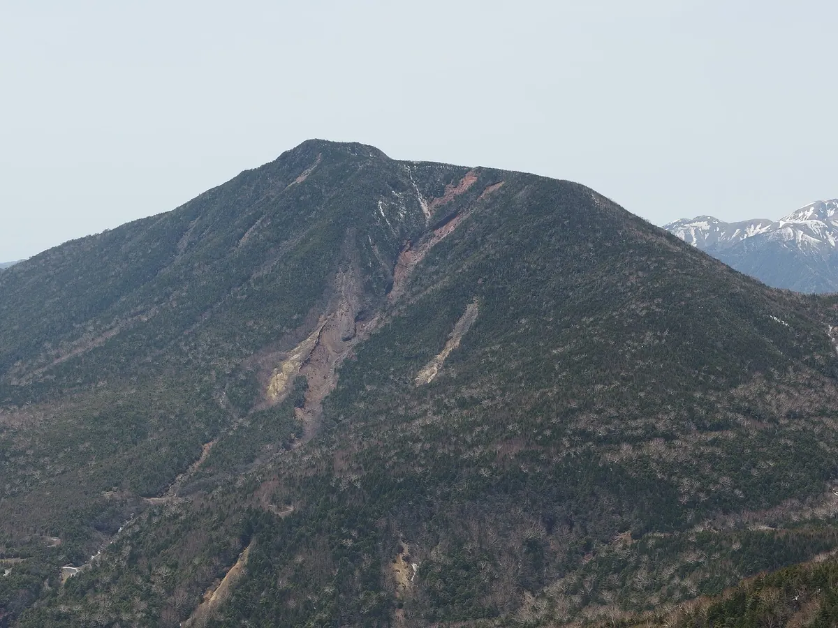
A 2,376-meter lava dome in Nikko National Park featuring a high-altitude shrine and views of the surrounding mountain range.
What it is
- A 2,376-meter mountain peak formed as a lava dome 47,000 years ago.
- The site of Oomanakosan Jinja, a subsidiary of the Nikko Futarasan Shrine.
- A sacred peak dedicated to the deity Ajisukitakahikone no Mikoto.
- A significant mountain located between Mount Nantai and Mount Komanago.
What to see
- The Oomanakosan Jinja shrine located at the mountain summit.
- Natural formations of andesite and dacite rock along the slopes.
- Panoramic views of the Nikko mountain range from the peak.
- A mountain trail that connects the summit to Shizu Pass.
Getting there
- The climb from Shizu Hut to the peak takes approximately two and a half hours.
19
Mount Akanagi
TOCHIGI · PLACE 赤薙山
A 2,010-meter stratovolcano in Nikko National Park featuring a mountain shrine dedicated to the deity Sukunahikona-no-Mikoto.
What it is
- A Quaternary stratovolcano standing at an elevation of 2,010 meters in the Nikko mountain range
- Home to Akanagisan Shrine, a subsidiary of the famous Nikko Futarasan Shrine
- The mountain name likely originates from a historical landslide on its southern slope
- The summit features a third-class triangulation point and is covered with tall trees
What to see
- Akanagisan Shrine located at the top of the mountain
- The site of a former inner shrine situated beyond the current summit shrine
- Views of the surrounding Nikko mountain range between Mount Maruyama and Mount Nyōhō
- A hiking trail that connects the summit to the Kirifuri Plateau trailhead
20
Mount Nasu
TOCHIGI · PLACE 那須岳
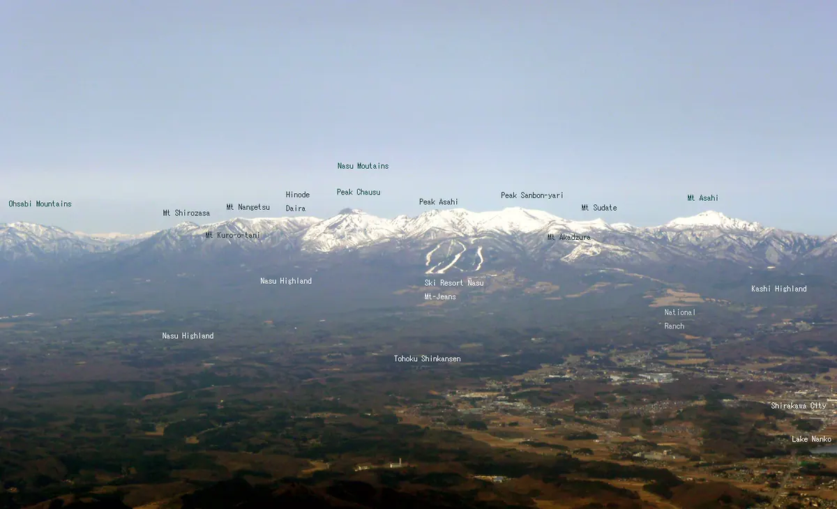
An active volcanic group in Nikko National Park offering accessible hiking trails and dramatic views of steaming vents.
What it is
- A group of volcanic peaks located in northern Tochigi Prefecture.
- Part of Nikko National Park and one of Japan's 100 Famous Mountains.
- The highest point is Mount Sanbon-yari reaching 1,917 meters.
- Mount Chausu is a 1,915-meter active volcano with a lava dome.
What to see
- Active steam vents and volcanic gas activity on Mount Chausu.
- Sessho-seki, a nearby site famous for its toxic volcanic gases.
- Panoramic views from the ropeway connecting to the ninth station.
- Diverse mountain trails including the path from Toge-no-Chaya trailhead.
When to go
- The official mountain opening ceremony is held every May.