

15 Mountains in Yamaguchi worth your time
Japan Gems
15 Mountains in Yamaguchi, with what to see and how to get there.
Yamaguchi has 15 mountains on Japan Gems. Below are the 15 we can tell you the most about — each one written up in English from Japanese sources, with what to see and how to get there. See all mountains in Yamaguchi.
01
Mount Kōnomine
YAMAGUCHI · PLACE 鴻ノ峰
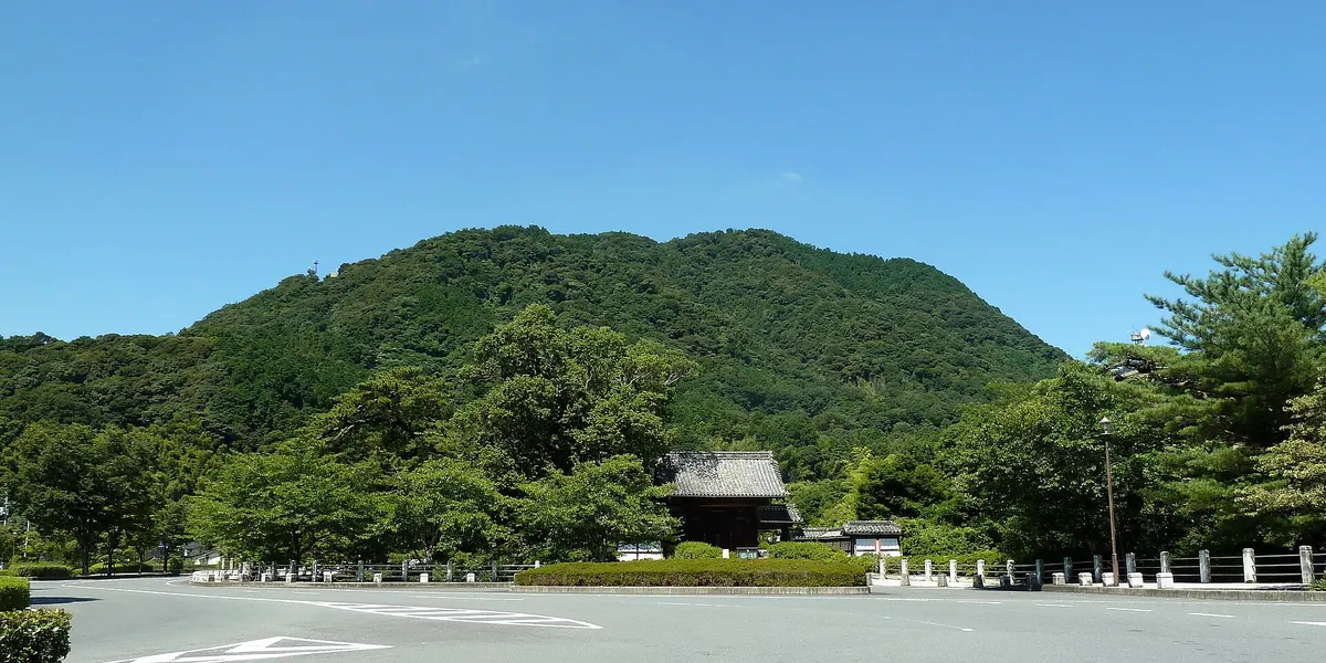
A 338-meter peak in Yamaguchi City featuring historic castle ruins and panoramic views of the surrounding urban area.
What it is
- A 338-meter mountain ranked among the top 100 peaks in Yamaguchi.
- Site of the Konomine Castle ruins built by Ouchi Yoshinaga.
- Location for television and radio relay stations serving the local area.
- A natural landmark providing a vantage point over Yamaguchi City.
What to see
- Historic ruins of Konomine Castle located at the mountain summit.
- Digital television and radio broadcasting relay stations.
- Panoramic views overlooking the entire Yamaguchi city area.
- Hiking trails that begin at Kido Shrine and Yamaguchi Daijingu.
Getting there
- Take a bus from JR Shin-Yamaguchi Station to reach the area.
- Follow a narrow road leading from National Route 9 to the stations.
- Access the summit via hiking trails from Kido Shrine or Yamaguchi Daijingu.
02
Mount Himuro
YAMAGUCHI · PLACE 氷室岳
The highest peak in Yanai City, known as Suo Fuji, offering summit shrines and panoramic views of the surrounding region.
What it is
- The highest peak in Yanai City standing 562.6 meters above sea level
- A mountain also known as Suo Fuji located on the border of Yanai and Iwakuni
- Site of television and mobile phone transmission stations serving the local region
- Home to three small shrines including Himuro Gongen located at the summit
What to see
- Three small shrines including Himuro Gongen situated at the mountain top
- Broadcasting stations that have served the area since March 1966
- Panoramic views from the highest point in the city
When to go
- Visit during the New Year sunrise event held annually at the summit
Getting there
- Take a bus from Yanai Station to the Miyagahara stop
- Walk one kilometer north from the bus stop to reach the trailhead
03
Mount Iwaki
YAMAGUCHI · PLACE 石城山
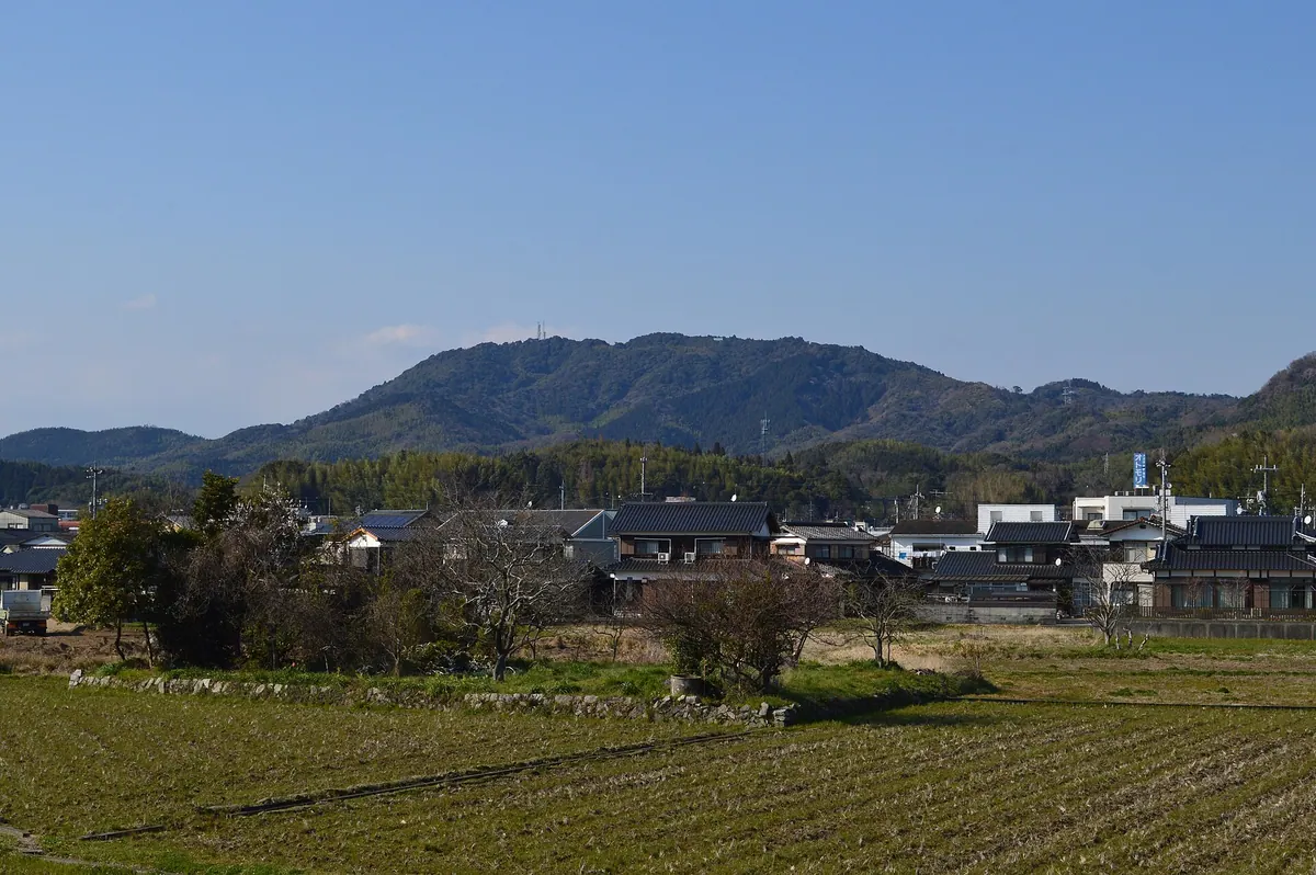
A 362-meter peak in Yamaguchi featuring ancient castle ruins, a historic shrine, and views from five distinct summits.
What it is
- A 362-meter mountain in Yamaguchi Prefecture designated as a prefectural natural park.
- One of the 100 Famous Mountains in the Chugoku region.
- Site of a seventh-century ancient mountain castle with extensive granite stone walls.
- A historic location where the Second Kiheitai volunteer corps was once stationed.
What to see
- The Iwaki Shrine main hall which is a National Important Cultural Property.
- Ancient castle ruins featuring 2,600 meters of granite stone walls.
- Five distinct peaks including the summit of Takahigadake.
- Several Shinto shrines and a campground located near the peak area.
- A television and FM broadcast relay station situated on the mountain.
Getting there
- The site is accessible via a 90-minute walk from Iwata Station.
04
Mount Kōyama
YAMAGUCHI · PLACE 高山
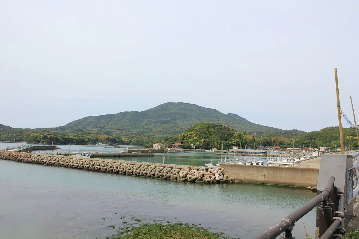
A 532-meter peak in Hagi featuring magnetic rock formations, national cultural treasures, and panoramic views from a summit observatory.
What it is
- A 532.8-meter mountain spanning the Susa and Tamagawa areas of Hagi City.
- The summit serves as a site for a television and FM relay station.
- Hosenji Temple stands on the mountain grounds enshrining the deity Kotei.
- The eastern peak houses a small hall known as Gyojado.
What to see
- Magnetic gabbro rocks at the summit designated as a national natural monument.
- Forty-nine ship votive tablets preserved as national cultural properties.
- Natural wind caves formed by ancient lava flows within the mountain.
- An observatory at the peak providing views near the triangulation point.
Getting there
- Accessible via JR Susa Station for those arriving by train.
- A hiking trail leads visitors to the summit in approximately one hour.
05
Abu
YAMAGUCHI · PLACE 阿武火山群
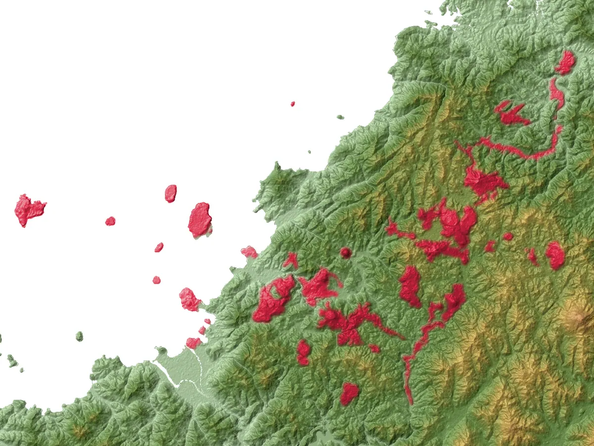
A group of forty small volcanoes spread across Hagi, featuring the world-famous miniature volcano Mount Kasayama and volcanic islands.
What it is
- A collection of approximately forty small monogenetic volcanoes spread across four hundred square kilometers.
- Designated as an active volcano group by the Japan Meteorological Agency in 2003.
- Formed by individual eruptions of basalt, andesite, and dacite rock over thousands of years.
- The most recent activity occurred at Mount Kasayama approximately 8,800 years ago.
What to see
- Mount Kasayama, which features a scoria cone formed by ancient Strombolian eruptions.
- Volcanic islands including Oshima and Aishima located off the coast of Hagi City.
- Approximately ten volcanic bodies currently submerged beneath the surface of the sea.
- A diverse landscape of small volcanic peaks scattered throughout the Yamaguchi Prefecture countryside.
06
Mount Ohira
YAMAGUCHI · PLACE 大平山 (防府市)
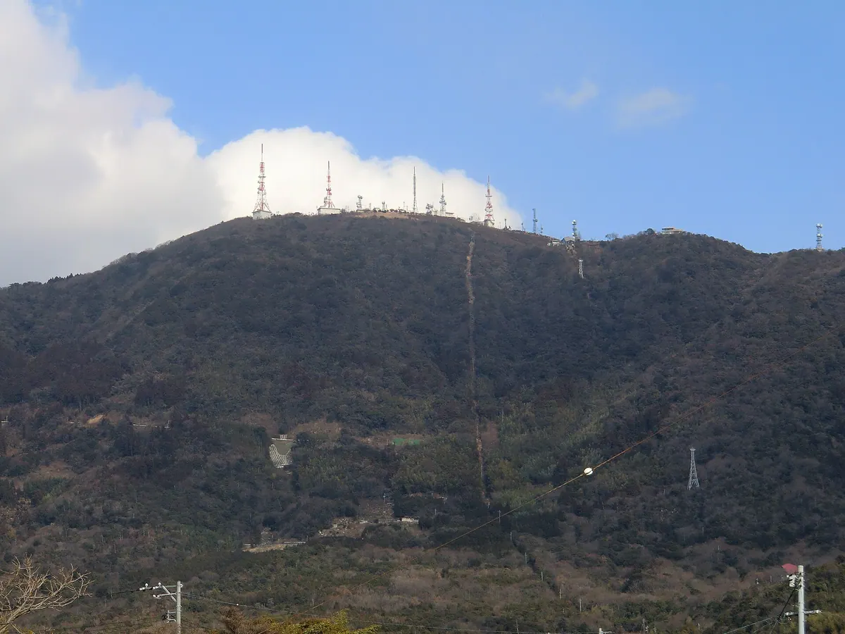
The highest peak in Hofu City featuring a summit park with 100,000 azaleas and views over the surrounding region.
What it is
- The highest mountain peak in Hofu City standing at 631 meters.
- A multi-purpose park and ranch located at the summit.
- The site of television and FM radio transmission stations.
- A mountain border between the cities of Hofu and Shunan.
What to see
- A park containing approximately 100,000 azalea plants.
- Panoramic views from the highest point in the local area.
- The summit ranch and multi-purpose recreational facilities.
When to go
- The Mount Ohira Azalea Festival held every May.
- Daytime visits as the summit parking lot is closed at night.
Getting there
- Accessible by bus or car from Hofu Station.
- Note that the ropeway service was officially abolished in 2015.
07
Mount Migita
YAMAGUCHI · PLACE 右田ヶ岳
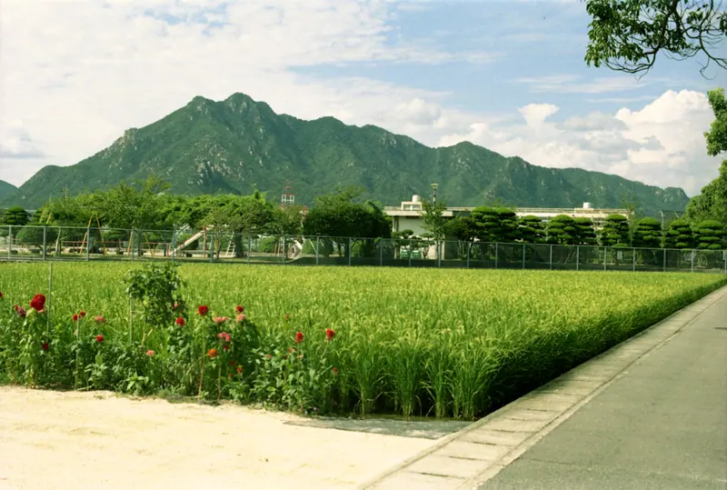
A 426-meter granite mountain in Hofu featuring ancient rock-carved Buddhist figures and panoramic views of the Seto Inland Sea.
What it is
- A 426-meter peak characterized by exposed granite rock faces.
- The former site of Mount Migita Castle at the summit.
- A spiritual location with Tentoku-ji Temple situated at the mountain foot.
- A hiking destination featuring numerous Buddhist figures carved into the rock.
What to see
- Buddhist figures carved directly into the granite rock faces.
- Panoramic views of the Seto Inland Sea from the summit.
- The Saba River flowing to the southeast of the mountain.
- Dramatic rock walls along the Katsusaka route used as a filming location.
Getting there
- Access the mountain via the Katsusaka, Tentokuji, or Tsukahara trailheads.
- Parking for hikers is available near Migita Elementary School.
08
Kasayama
YAMAGUCHI · PLACE 笠山
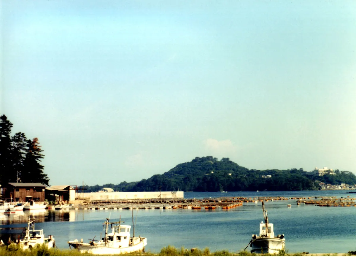
A small active volcano in Hagi featuring a deep summit crater, a vast camellia forest, and a unique brackish pond.
What it is
- A 112-meter tall volcano located within the Kitanagato Kaigan Quasi-National Park.
- Part of the Abu Monogenetic Volcano Group which was designated as active in 2003.
- A tombolo formation composed primarily of basaltic andesite rock.
- Home to Japan's only natural habitat of the Citrus nippokoreana plant.
What to see
- A summit crater measuring 30 meters in both width and depth.
- An observation deck and a cafe located at the top of the mountain.
- A forest of 25,000 camellia trees growing near the Toragasaki area.
- Myojin Pond, a brackish lagoon that is directly connected to the sea.
Getting there
- The nearest railway access is Koshigahama Station on the JR West line.
09
Mount Higashihōben
YAMAGUCHI · PLACE 東鳳翩山
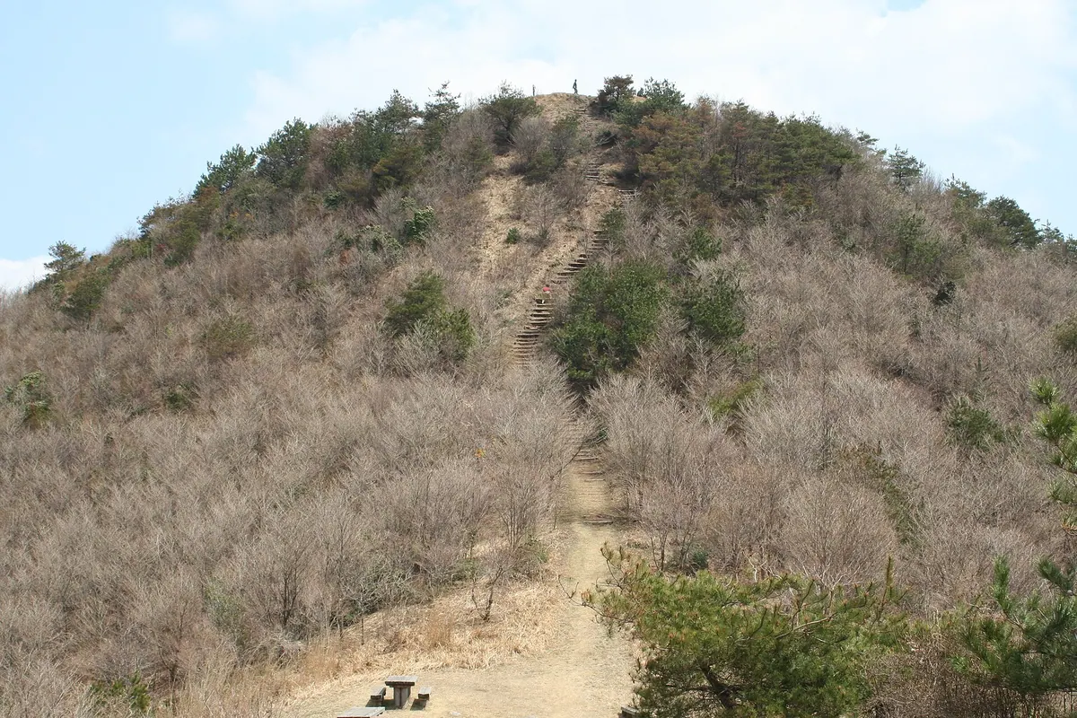
A 734-meter peak offering 360-degree views and historic trails, recognized as one of the New Japan Top 100 Mountains.
What it is
- A 734.2 meter peak spanning Yamaguchi City and Hagi City.
- Part of the Nagato Mountain Range and the New Japan Top 100 Mountains.
- Known as Yoshiki Fuji, a name given by former Prime Minister Nobusuke Kishi.
- A mountain situated along the historic Hagi Okan road.
What to see
- A 360 degree panoramic view from the summit.
- A mountain top cleared of trees by a past forest fire.
- An eight kilometer trail connecting to Mount Nishihoben.
Getting there
- One trailhead is located at Futatsudo near Ichinosaka Dam.
- The climb from the Futatsudo trailhead takes approximately 80 minutes.
- A second trailhead starts at the 21st Century Forest.
10
Mount Hi
YAMAGUCHI · PLACE 火の山
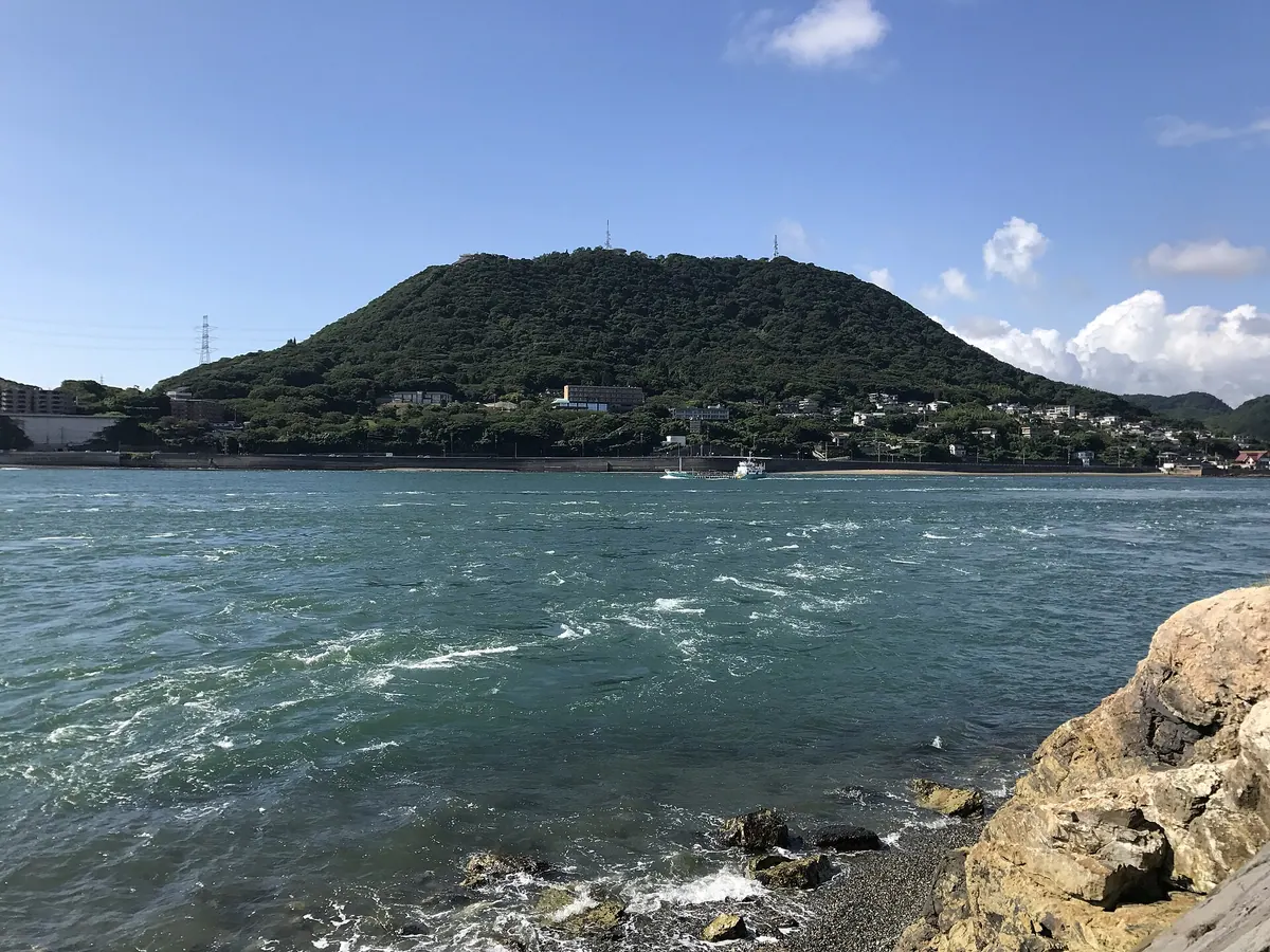
A 268-meter peak in Shimonoseki featuring historic military ruins and panoramic views over the Kanmon Straits.
What it is
- The westernmost point of the Setonaikai National Park overlooking the Kanmon Straits.
- A former military site that housed a signal fire station during the Heian period.
- An artillery battery location established in 1890 and restricted to the public until 1948.
- A modern communication hub for television, radio transmission, and weather cameras.
What to see
- The ruins of the former artillery battery located at the mountain summit.
- Panoramic views of the surrounding straits from an elevation of 268.2 meters.
- Hinoyama Park which is divided into distinct summit and foot areas.
- A ropeway system that transports visitors up the mountainside.
11
Mount Otodoi
YAMAGUCHI · PLACE 兄弟山
A dual-peak mountain site in Yamaguchi featuring a 13-hectare forest park and a shrine dedicated to the deity Ryuo.
What it is
- A site consisting of two distinct mountain peaks known as Ani-yama and Oto-yama.
- Also known by the names Futago-yama and Mount Ryuo.
- Features the 13-hectare Otodoi-yama Forest Park completed in May 1986.
- Home to the deity Ryuo who is enshrined on the taller peak.
What to see
- The peak of Ani-yama standing at an elevation of 257 meters.
- The peak of Oto-yama standing at an elevation of 216 meters.
- Extensive woodland areas within the Otodoi-yama Forest Park.
- The nearby Itoyone River flowing close to the mountains.
- Kido Shrine located in the surrounding area near the mountain Kounomine.
12
Mount Katsuragi
YAMAGUCHI · PLACE 桂木山
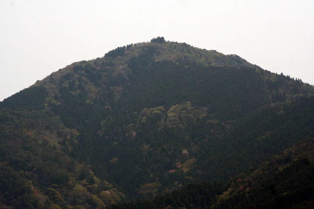
A 702-meter mountain in Yamaguchi featuring a summit shrine and panoramic views of the famous Akiyoshidai Plateau.
What it is
- A mountain standing 702 meters tall in Mine City, Yamaguchi Prefecture.
- Home to Myokengu Shrine located at the very summit.
- Dedicated to the deity Hokushin Myoken.
- A destination for hikers with multiple established climbing routes.
What to see
- Myokengu Shrine buildings situated at the top of the mountain.
- Panoramic views of the Akiyoshidai Plateau from the summit.
- The Shiraito Falls climbing course featuring natural water features.
- Diverse hiking paths including the Yoroi Pass and Hogahara courses.
- The Hinomine trail which serves as one of the primary ascent routes.
13
Mount Dake
YAMAGUCHI · PLACE 嵩山
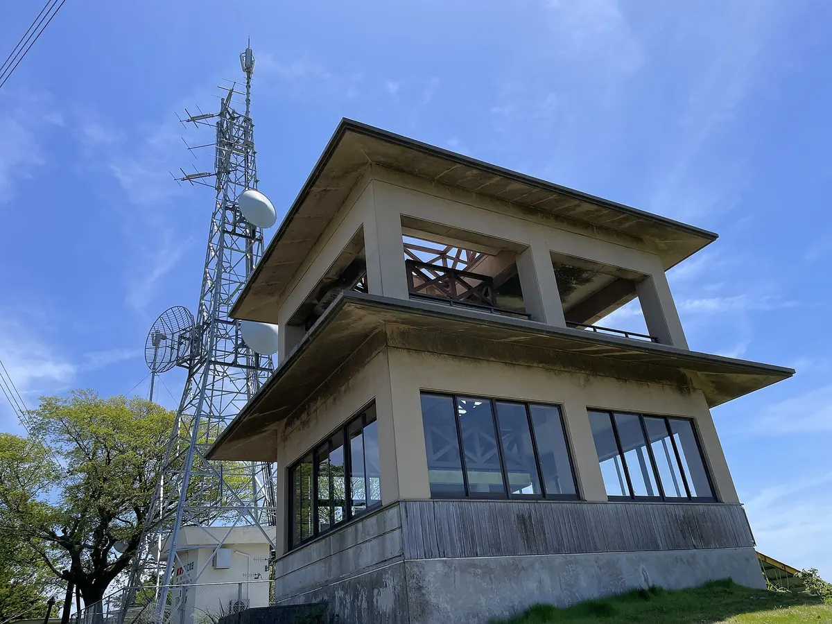
A 619-meter peak in Setonaikai National Park offering panoramic views from a summit observation deck accessible by car.
What it is
- A 619-meter mountain located within the Setonaikai National Park.
- Known locally by the nicknames Yashiro Fuji and Oshima Fuji.
- A transmission site for digital television and FM radio broadcasting.
- A scenic landmark situated in Suo-Oshima Town, Yamaguchi Prefecture.
What to see
- An observation deck located at the summit for viewing the surrounding area.
- A paved road that allows vehicles to drive directly to the mountain top.
- Broadcasting towers used for regional digital television and radio signals.
14
Mount Ryōju
YAMAGUCHI · PLACE 霊鷲山
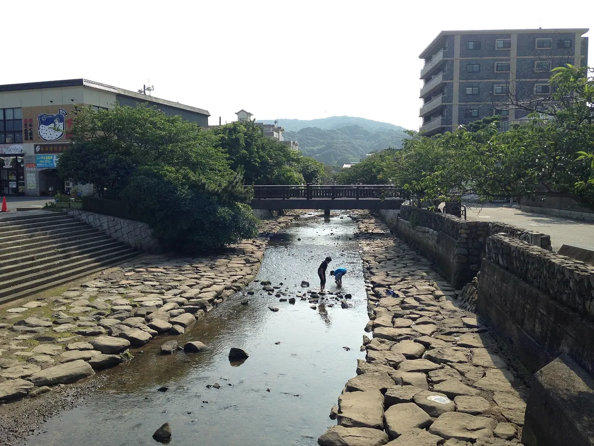
A former military fortress mountain in Shimonoseki featuring concrete battery ruins, a Buddhist stupa, and views of the Kanmon Straits.
What it is
- A mountain peak named after a sacred peak in India.
- A restricted military area of Shimonoseki Fortress until 1945.
- The site of a local FM radio transmission station.
- A stop on a trail connecting Mount Hinoyama to Sumiyoshi Shrine.
What to see
- Concrete barracks and battery ruins remaining on the summit.
- A Buddhist stupa standing near the top of the mountain.
- Views of the Kanmon Straits from the northern side of Mount Hinoyama.
15
Mount Nishi-Hōben
YAMAGUCHI · PLACE 西鳳翩山
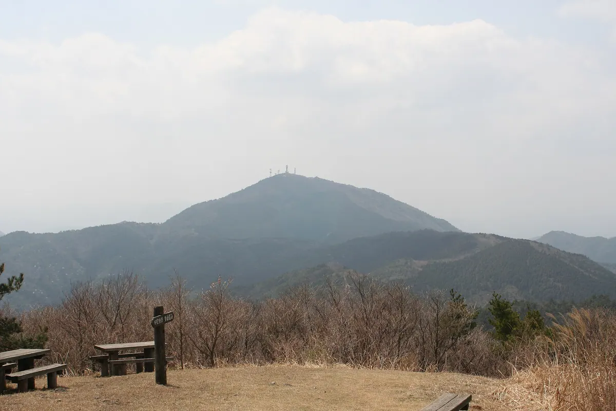
A 741-meter peak northwest of Yamaguchi Basin offering multiple climbing routes and a summit accessible by vehicle.
What it is
- A mountain peak standing 741.9 meters tall in Yamaguchi City
- The peak is located northwest of the Yamaguchi Basin
- The mountain faces its neighbor Mount Higashi-Hoben
What to see
- Multiple steel towers located at the mountain peak
- The Jizo Pass course connecting to the eastern peak
- The Yoshikihata course which serves as a designated climbing route
- A vehicle road that leads directly to the summit