

20 Mountains in Ehime worth your time
Japan Gems
27 Mountains in Ehime, with what to see and how to get there.
Ehime has 27 mountains on Japan Gems. Below are the 20 we can tell you the most about — each one written up in English from Japanese sources, with what to see and how to get there. See all mountains in Ehime.
01
Mount Katsu
EHIME · PLACE 城山
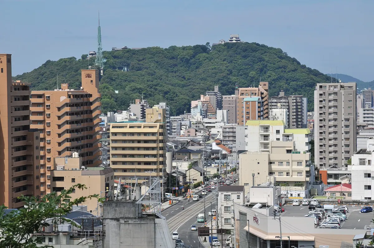
A historic mountain in Matsuyama featuring a hilltop castle, rare stone walls, and famous cherry blossom views accessible by ropeway.
What it is
- A national historic site in Matsuyama City commonly known as Shiroyama.
- The 131-meter peak serves as the site for Matsuyama Castle.
- The mountain forest is protected as a designated prefectural natural monument.
- Shinonome Shrine is situated at the eastern foot of the mountain.
What to see
- Matsuyama Castle stands at the summit with views of the surrounding city.
- Rare examples of climbing stone walls are located on the mountain slopes.
- Shiroyama Park features extensive cherry blossoms recognized as a top national spot.
- An NHK FM radio transmission station is housed at the summit.
- Four distinct walking paths lead through the forest to the castle grounds.
When to go
- Spring is ideal for visiting one of Japan's top 100 cherry blossom spots.
- A ropeway and lift provide easy access to the top during operating hours.
02
Mount Onigajo
EHIME · PLACE 鬼ヶ城山
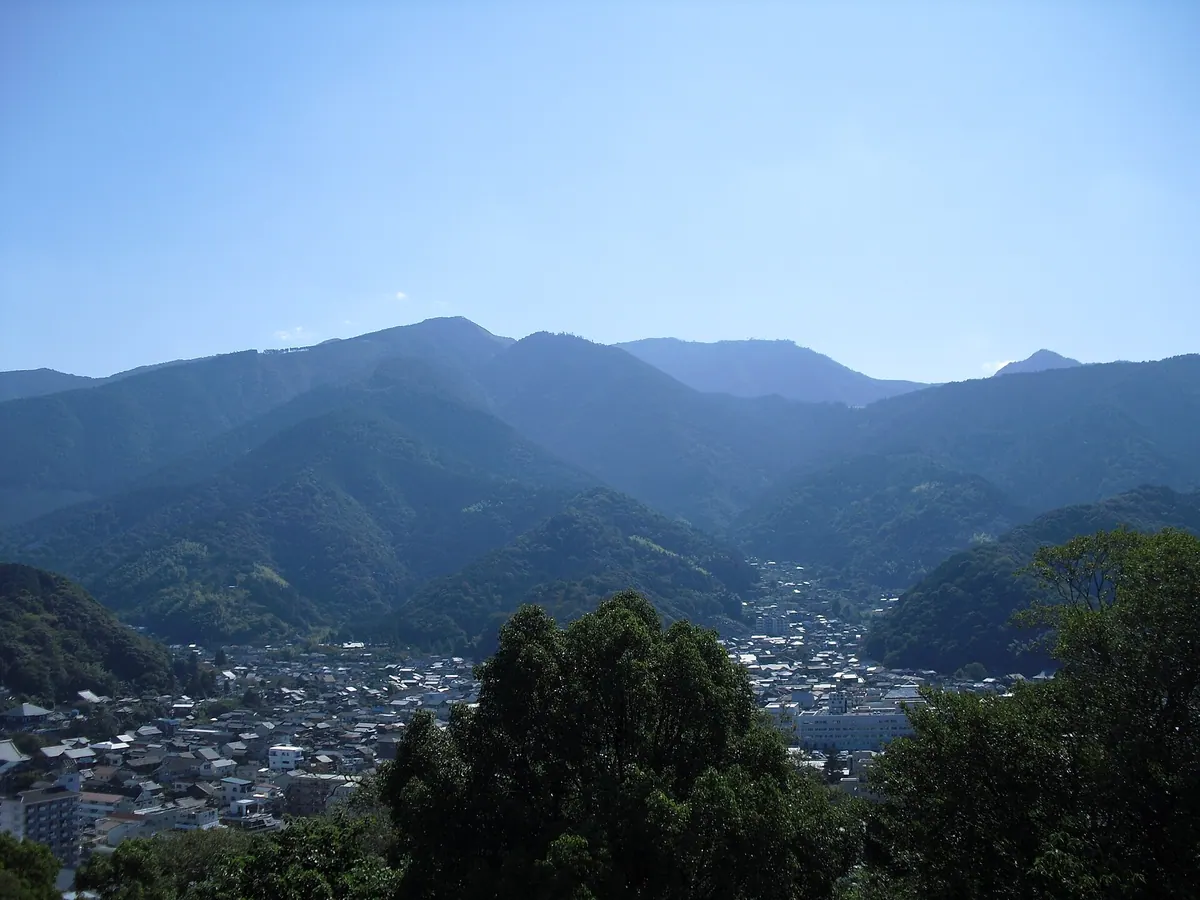
A 1,151-meter peak in the Shikoku Mountains offering panoramic views of the Uwa Sea and rare seasonal flora.
What it is
- A 1,151-meter mountain located in the western Shikoku Mountains east of Uwajima.
- One of the 100 Famous Mountains of Shikoku.
- A geological site featuring Late Cretaceous sandstone, mudstone, and granodiorite.
- A natural habitat for rhododendron communities and ancient beech forests.
What to see
- Panoramic views of the Uwa Sea and Kyushu from the summit.
- Rhododendron communities growing naturally near the mountain top.
- Extensive beech forests surrounding the higher elevations.
- Soft rime ice covering the trees during the cold winter months.
When to go
- Winter season to witness the formation of soft rime ice on trees.
Getting there
- A 40-minute hike to the summit starting from Shika-no-koru.
- Access is available via a forest road that extends near the mountain top.
03
Mount Sekizen
EHIME · PLACE 積善山
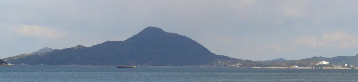
A scenic mountain on Iwagi Island famous for its 3,000 cherry trees and panoramic views of the Seto Inland Sea.
What it is
- A 369.8 meter peak on Iwagi Island also known as Iwagi Fuji.
- A natural site featuring terraced fields for citrus fruits on its slopes.
- A popular destination for hikers and paragliders in the Geiyo Islands.
What to see
- Approximately 3000 cherry trees planted along the mountain paths.
- A 360 degree observation deck located at the summit.
- Views of the Shikoku and Chugoku mountain ranges from the top.
- A paragliding launch site situated on the mountainside.
- A six kilometer hiking trail leading from the port to the peak.
When to go
- April for the annual cherry blossom festival.
- Spring when the thousands of cherry trees are in bloom.
Getting there
- A six kilometer hiking trail begins at Iwagi Port.
- Roads for cars connect the summit to Kokogi and Iwagi ports.
04
Mount Sanbongui
EHIME · PLACE 三本杭
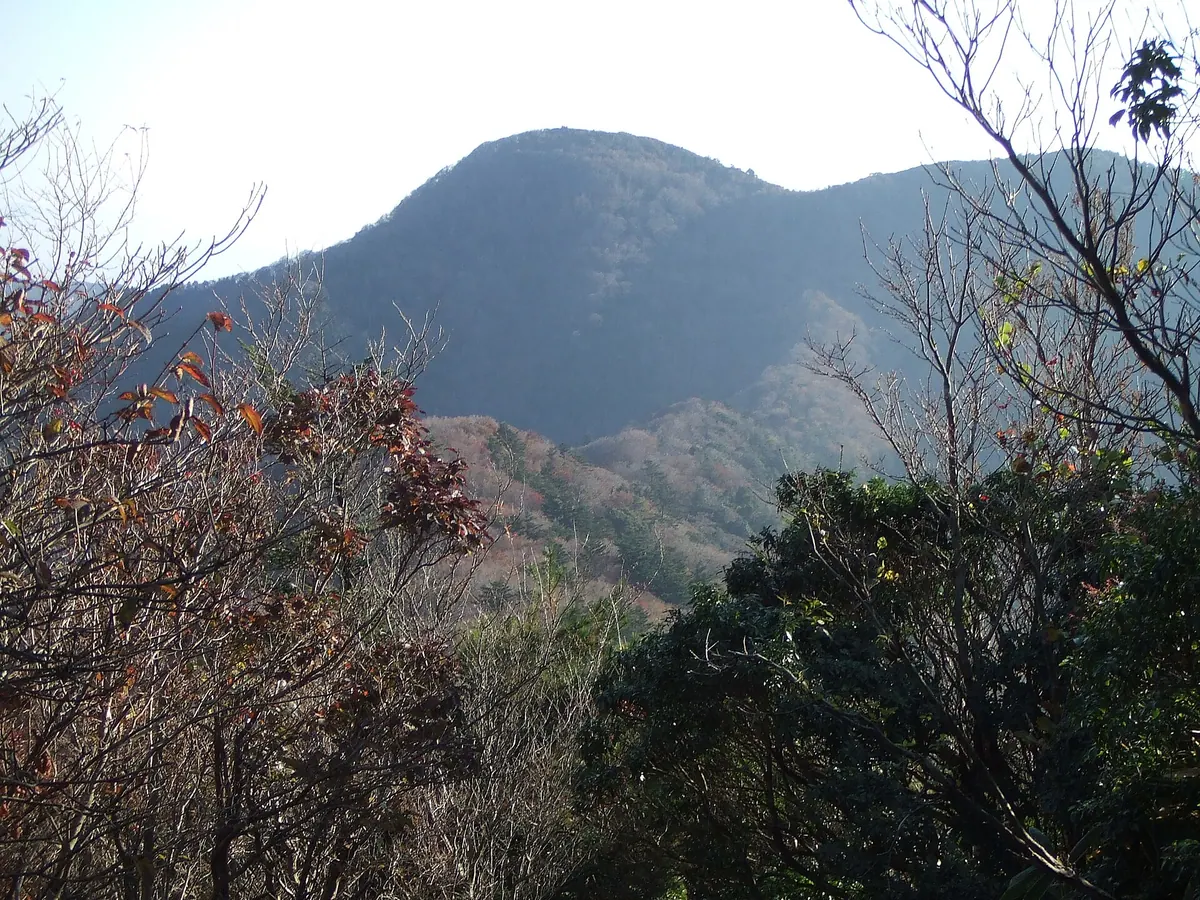
A 1,226-meter peak in Ashizuri-Uwakai National Park offering views of the Uwa Sea and ancient beech forests.
What it is
- A 1,226-meter mountain located within the Onigajo mountain range and Ashizuri-Uwakai National Park.
- One of Japan's 300 Famous Mountains, also known locally as Mount Nametoko.
- Named after three boundary stakes placed at the summit during the Edo period.
- A peak spanning the borders of Uwajima City, Matsuno Town, and Shimanto City.
What to see
- Extensive natural beech forests covering the slopes of the mountain.
- A first-class triangulation point located at the highest point of the summit.
- Panoramic views of the Uwa Sea and Mount Ishizuchi from the peak.
- Geological formations consisting primarily of Miocene granodiorite.
- The scenic Nametoko Gorge which serves as the approach to the mountain.
Getting there
- Access the mountain through the Mannenbashi trailhead via the Nametoko Gorge.
05
Mount Ishizumi
EHIME · PLACE 石墨山
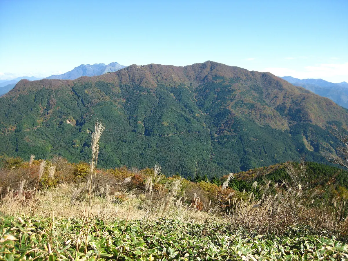
A 1,456-meter peak in Ehime featuring sacred shrines, volcanic rock formations, and waterfalls that freeze solid during the winter months.
What it is
- The highest peak in the Saragamine range reaching 1,456.5 meters in height.
- One of the 100 Famous Mountains in Shikoku located within the Ishizuchi range.
- Home to Ishizumi Shrine which enshrines the mountain ascetic Akaoni Hoshoin.
- A mountain formed largely of Miocene volcanic rocks and named for its graphite deposits.
What to see
- Karakai Falls and Shirai Falls located on the northern slope of the mountain.
- Ishizumi Shrine dedicated to the local mountain ascetic history.
- Extensive views from the summit across the Ehime Prefecture landscape.
When to go
- Winter to see Shirai Falls transform into a frozen ice fall.
Getting there
- The main climbing route begins at the Karakai Falls entrance.
06
Mount Ishizuchi
EHIME · PLACE 石鎚山
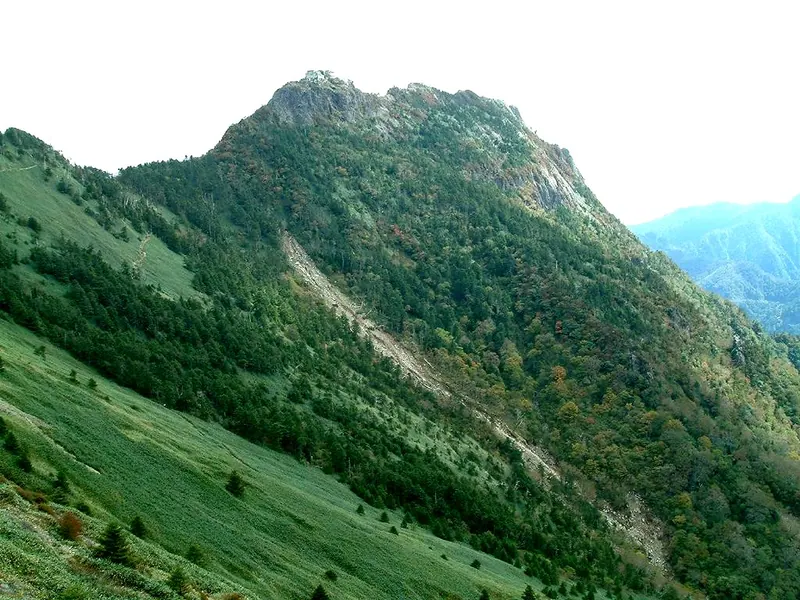
Western Japan's highest peak offers a sacred climbing experience with dramatic chain ascents and significant mountain worship history.
What it is
- The highest peak in Western Japan standing at 1,982 meters above sea level
- A major site for Shugendo mountain worship located on the border of Saijo and Kumakogen
- One of Japan's 100 Famous Mountains designated as a Quasi-National Park in 1955
- A mountain consisting of three distinct peaks named Tengudake, Misen, and Nansenpo
What to see
- Three major climbing chains located along the main trail for traditional ascents
- The southernmost subalpine coniferous forest found within the Japanese archipelago
- A ropeway that provides access to the mountain via the Joju climbing route
When to go
- July 1st marks the start of the annual mountain opening ceremony
- September is the time for the Ishizuchi Hill Climb bicycle race
07
Mount Kamegamori
EHIME · PLACE 瓶ヶ森
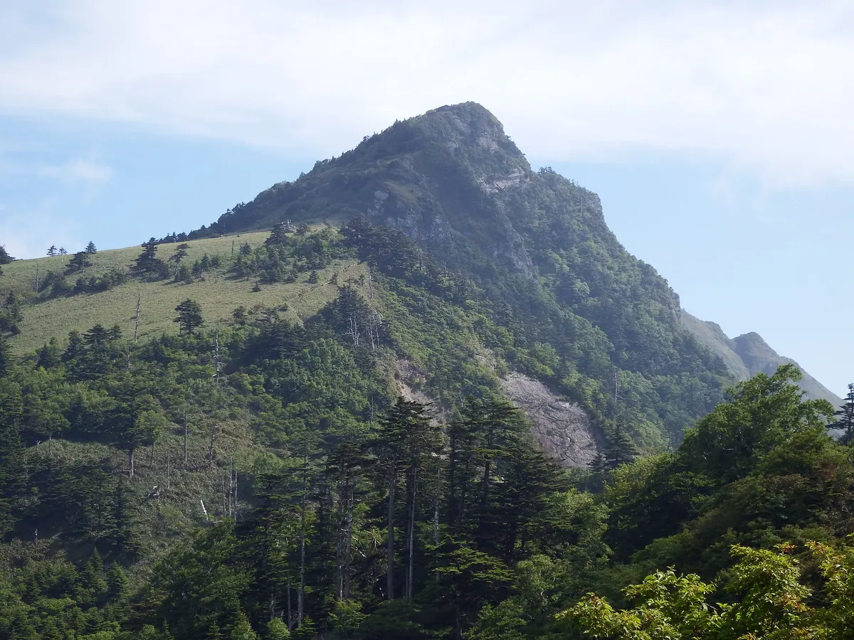
A 1,897-meter peak in Ishizuchi Quasi-National Park offering accessible hiking trails and shrines dedicated to mountain deities.
What it is
- The third highest peak in Ehime Prefecture standing 1,897 meters above sea level.
- A prominent mountain within the Ishizuchi Quasi-National Park range.
- The primary source area for the Yoshino River.
- A mountain featuring two distinct peaks named Meyama and Oyama.
What to see
- The Himi-Nisengokubara plateau spreading across the western side of the mountain.
- A shrine dedicated to Zao Gongen located at the Meyama summit.
- The Ishizuchi-ko Gongen shrine situated on the southern Oyama peak.
- A second-class triangulation point marking the highest elevation.
- Views of the surrounding Ishizuchi Mountain Range from the summit.
Getting there
- A parking lot at 1,670 meters provides the easiest access to the trails.
08
Okawamine
EHIME · PLACE 大川嶺
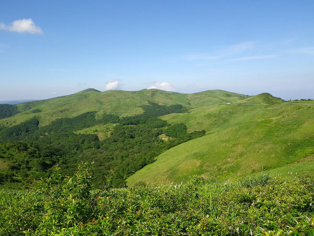
A 1,525-meter peak in Shikoku Karst Prefectural Natural Park offering scenic ridge walks and vibrant seasonal flora.
What it is
- A mountain standing 1,525 meters tall in the western Shikoku Mountains.
- One of the 100 Famous Mountains of Shikoku within a prefectural natural park.
- A landscape featuring a second-class triangulation point at the summit.
- The namesake for the asteroid 7463 Oukawamine.
What to see
- Tsurugi Mitsuba Azaleas blooming along the mountain ridges.
- Views of Mount Kasatori, the highest peak in the range at 1,562 meters.
- The Oda Miyama Valley located on the western side of the mountain.
- Maple trees that provide autumn colors in the surrounding valley.
When to go
- Visit in May to see the azaleas in bloom along the ridges.
- Autumn is the best time for viewing maples in the Oda Miyama Valley.
09
Mount Dōgamori
EHIME · PLACE 堂ヶ森
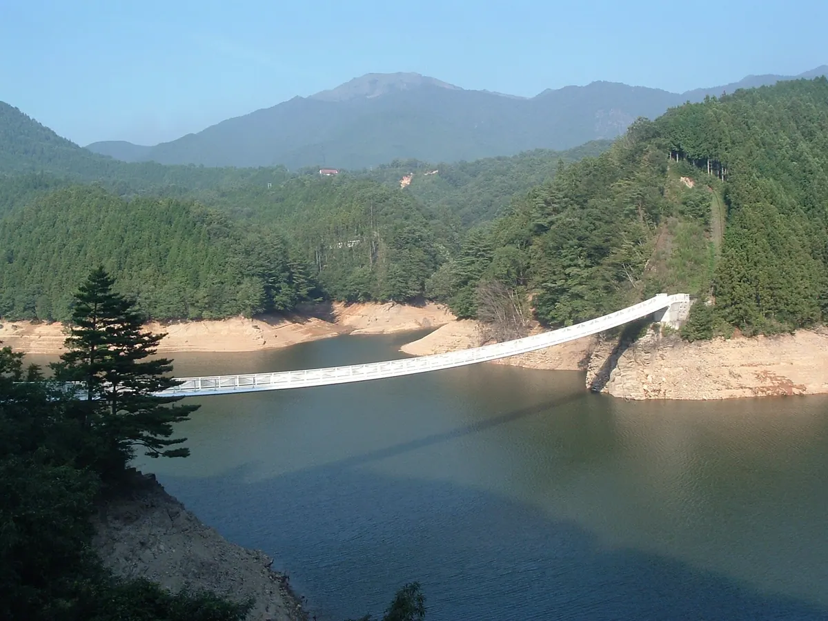
A 1689-meter peak in the Ishizuchi Range offering rugged cliffs, bamboo slopes, and a ridge trail to Mount Ishizuchi.
What it is
- A 1689-meter mountain spanning Saijo City and Kumakogen Town in Ehime Prefecture.
- The westernmost peak of the Ishizuchi Range and one of the Shikoku 100 Famous Mountains.
- A geological site featuring Miocene volcanic rocks on the edge of the Ishizuchi Cauldron.
What to see
- Steep cliffs characterizing the northern side of the mountain summit.
- Southern slopes covered in vast stretches of bamboo grass.
- A large microwave reflector installed at the highest point of the peak.
- An unmanned mountain hut located 300 meters away from the summit.
- A ridge trail that provides a hiking connection to Mount Ishizuchi.
Getting there
- Trailheads for the climb are located at Ume-ga-ichi and Hoino.
10
Mount Ninomori
EHIME · PLACE 二ノ森
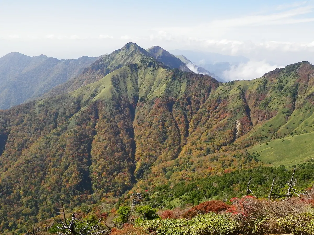
The second highest peak in Ehime Prefecture, offering a bamboo-covered summit within the Ishizuchi Quasi-National Park.
What it is
- The second highest peak in Ehime Prefecture at 1,929.6 meters elevation.
- A mountain in the Ishizuchi Range designated as part of a Quasi-National Park.
- One of the Shikoku 100 Famous Mountains located west of Mount Ishizuchi.
- A peak situated within the geological Ishizuchi Cauldron collapse structure.
What to see
- A summit area covered extensively with Miyako-zasa bamboo grass.
- A first-class triangulation point located at the highest point of the mountain.
- Geological formations consisting of Miocene andesitic pyroclastic flow deposits.
- Views of the surrounding Ishizuchi Mountain Range from the peak.
Getting there
- A climbing route starts from the Hoino district in Saijo City.
11
Mount Takanawa
EHIME · PLACE 高縄山
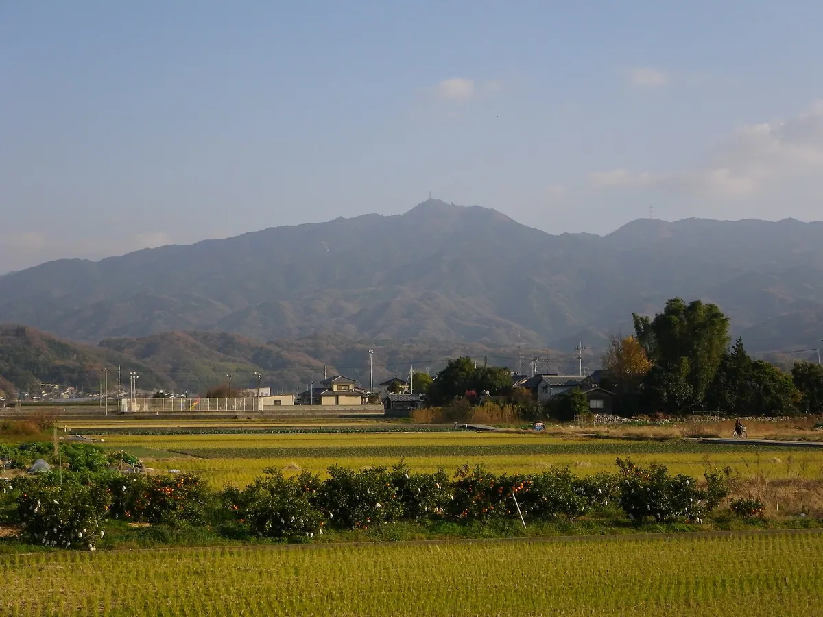
A 985-meter peak in Matsuyama featuring a historic temple, mountain-top observation deck, and the site of a former castle.
What it is
- A 985.9 meter mountain located in the northwestern Takanawa Peninsula of Matsuyama City.
- Part of the Okudogo Tamagawa Prefectural Natural Park consisting primarily of Late Cretaceous granite.
- The site where a new mineral called Takanawaite was first discovered.
- The former location of Takanawa Castle which once stood near the mountain peak.
What to see
- Takanawa-dera Temple located near the summit housing a wooden statue of Senju Kannon.
- An observation deck at the summit providing views of the surrounding peninsula.
- A stone monument marking the geographic source of the Kono River.
- Radio towers situated at the highest point of the mountain.
- Paved roads that allow visitors to reach the top by vehicle.
12
Chikami-yama
EHIME · PLACE 近見山
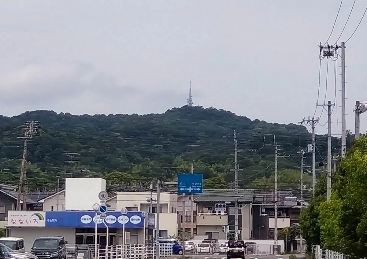
A 243-meter mountain in Setonaikai National Park offering panoramic views of the Kurushima Kaikyo Bridge and historic temple roots.
What it is
- A 243.5-meter mountain located within the Setonaikai National Park in Imabari City.
- Site of a temple founded by Gyoki in 720 and later renamed by Kukai.
- The original location of Fudoin Enmyoji temple before it moved to the base in 1727.
- The birthplace of Senzanki, a local dish originally made from mountain pheasants.
What to see
- A summit observatory providing views of the Kurushima Kaikyo Bridge.
- The Myojin-yama second-class triangulation point located at the peak.
- Shimanami Earthland park situated at the foot of the mountain.
- Several television antenna towers standing near the summit area.
- A ten-minute walking trail leading from the parking lot to the observatory.
13
Iyo Kofuji
EHIME · PLACE 伊予小富士
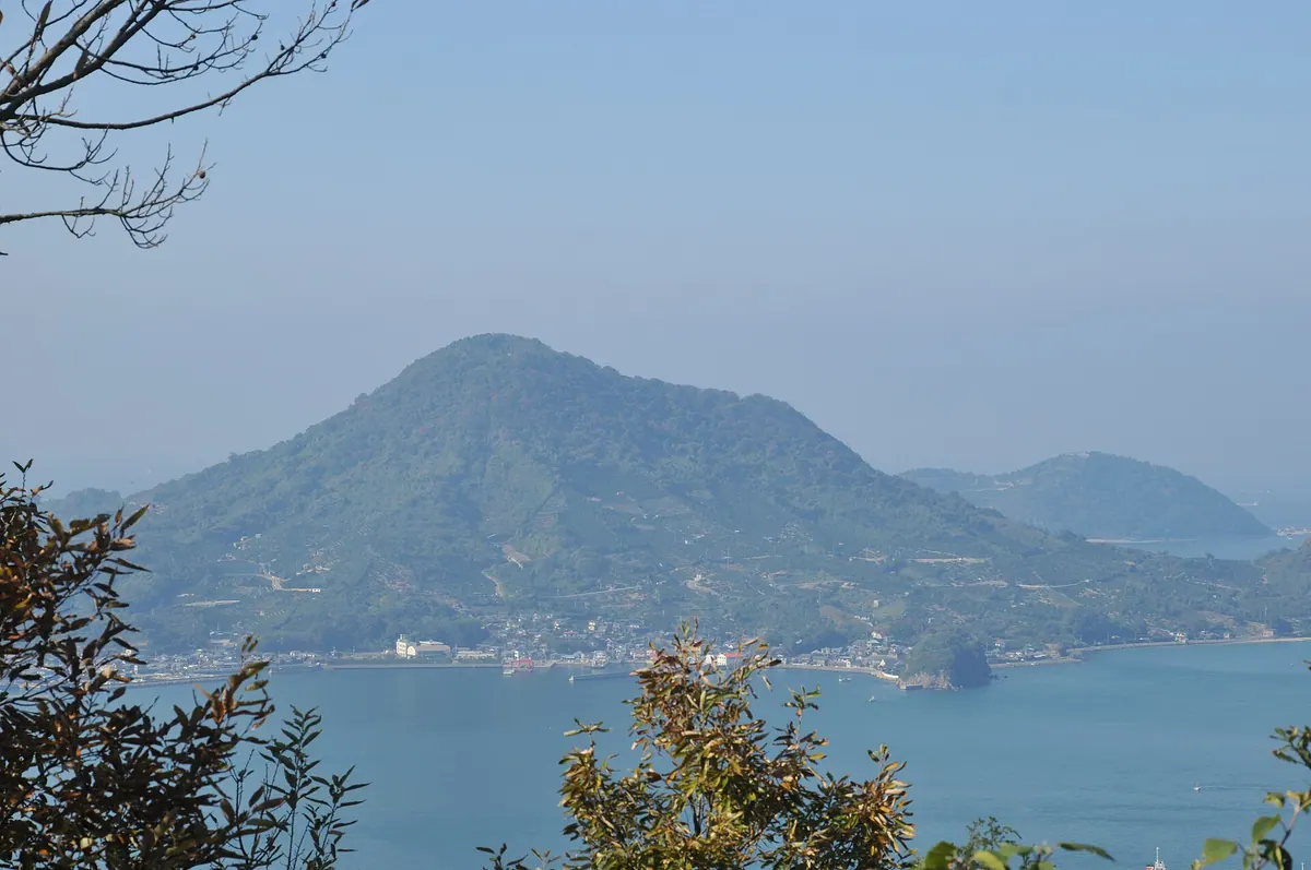
A scenic 282-meter peak on Gogoshima Island offering panoramic views and a hiking trail featured in the 100 Island Mountains.
What it is
- The highest point on Gogoshima Island standing at an elevation of 282.4 meters.
- A mountain included in the 100 Island Mountains list.
- The subject of a haiku written by the famous poet Masaoka Shiki.
What to see
- An observation deck at the summit providing views of the surrounding area.
- A small temple located at the top of the mountain.
- A 1.5 kilometer hiking trail leading from the village to the peak.
Getting there
- Take the Iyo Railway Takahama Line to the terminus at Takahama Station.
- Board a ferry from Takahama Port for a ten-minute trip to Tomari Port.
- Follow the trail starting from Tomari village at the eastern foot of the mountain.
14
Mount Takatsuki
EHIME · PLACE 高月山
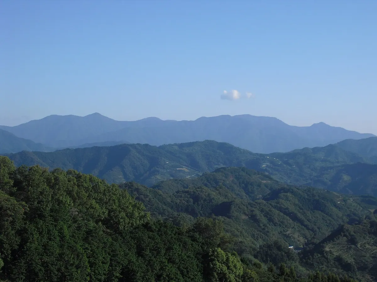
The highest peak in the Onigajo range, offering a 1,229-meter climb through cedar forests and rhododendrons in Ehime Prefecture.
What it is
- The highest peak in the Onigajo mountain range at 1,229 meters.
- One of the 100 Famous Mountains of Shikoku.
- A mountain spanning Uwajima City and Kihoku Town in Ehime Prefecture.
- A geological site composed of Miocene granodiorite within the Northern Shimanto Belt.
What to see
- Extensive artificial cedar forests covering a large portion of the slopes.
- Rhododendrons growing naturally near the summit area.
- A third-class triangulation point located at the peak.
- Views from the highest point in the Onigajo range.
Getting there
- Access the peak via the Umeganaru Pass on the ridge.
- Follow the older climbing route through the Narukawa Valley.
15
Mount Akaboshi
EHIME · PLACE 赤星山
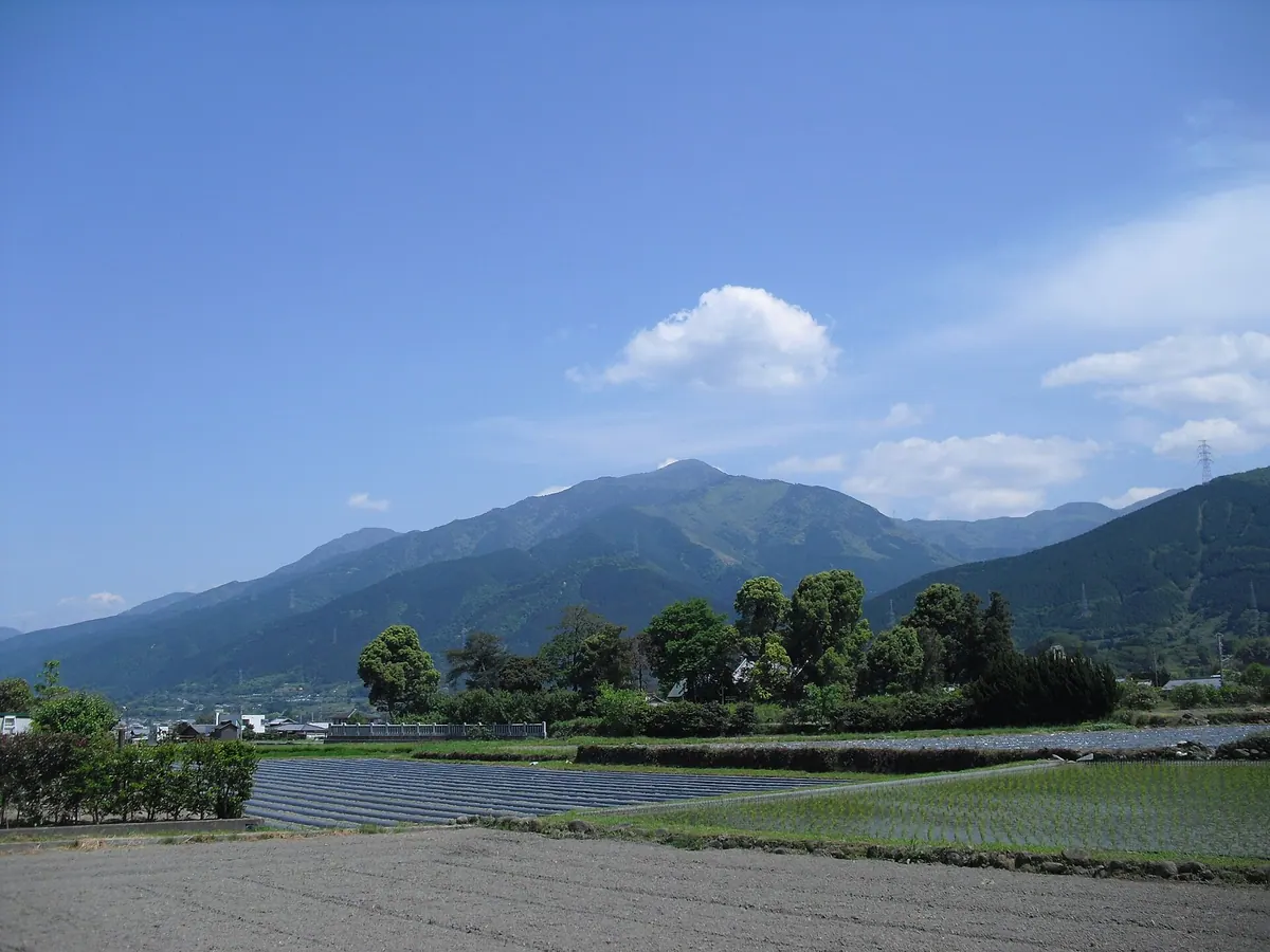
A 1,453-meter peak in Ehime known for its waterfall-filled valley and rare alpine flowers near the summit.
What it is
- A 1,453-meter mountain in the Houou Range listed among Shikoku's 100 Famous Mountains.
- A peak also known as Iyo Kofuji located within the Sambagawa Metamorphic Belt.
- The site of a stone shrine marked with a red star near the summit.
What to see
- Numerous waterfalls located along the Ouji Valley on the northern side of the mountain.
- Rhododendrons and dogtooth violets growing naturally near the mountain top.
- A stone shrine featuring a distinct red star mark at the peak.
- Views of the surrounding Houou Mountain Range between Futatsu-dake and Mount Toyouke.
Getting there
- Access the Ouji Valley Line climbing route via the Noda trailhead.
16
Mount Kanmuri
EHIME · PLACE 冠山
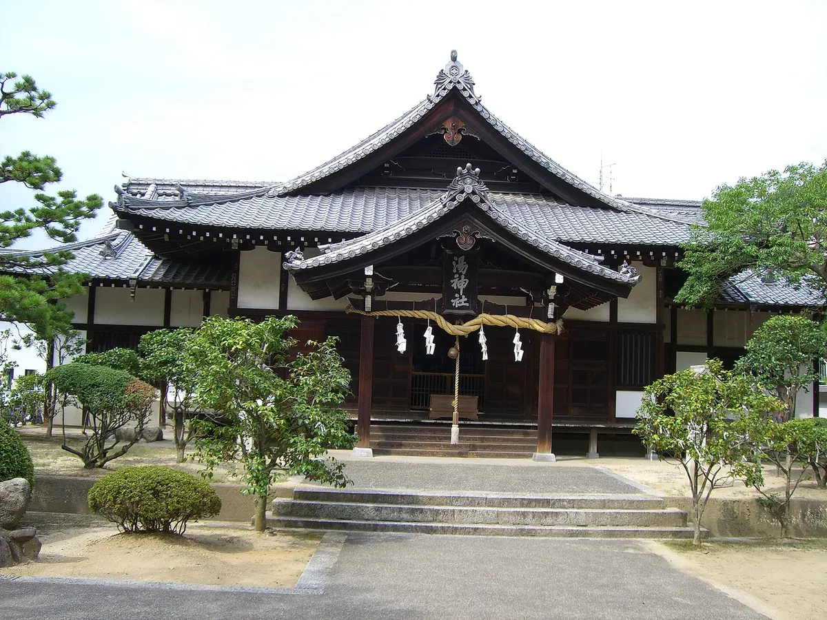
A hill in Dogo Onsen featuring historic shrines, a scenic footbath, and panoramic views of the famous public bathhouse.
What it is
- A hill located south of the Dogo Onsen Main Building in Matsuyama City.
- The site of Yu Shrine and Nakajima Shrine.
- A municipal parking lot and hot spring distribution center occupy the summit.
- A former hot spring leisure facility site converted into a public rest area.
What to see
- The Sora no Sanpodo rest area featuring a walking path and footbath.
- A clear view overlooking the historic Dogo Onsen Main Building.
- Stone stairs on the south side leading up to Yu Shrine.
- The southern road which serves as the approach to Isaniwa Shrine.
When to go
- The Sora no Sanpodo rest area has been open to the public since 2019.
17
Mount Izushi
EHIME · PLACE 出石山
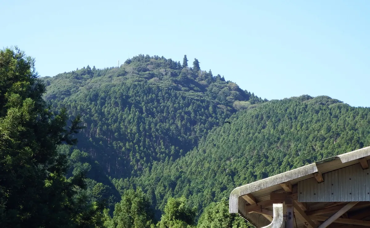
An 812-meter peak featuring a historic temple, seasonal hydrangeas, and a memorial to a 1952 military aviation accident.
What it is
- A mountain standing 812 meters tall between Ozu City and Yawatahama City.
- Home to Kinzan Shusekiji Temple, the seventh site of the Shikoku Bekkaku Twenty Reijo.
- The site of a 1952 US military flying boat crash that killed fourteen crew members.
What to see
- Kinzan Shusekiji Temple located at the summit of the mountain.
- A triangulation point situated on the eastern side at 762.4 meters.
- Views of Mount Ishizuchi from the observatory in front of Daishido.
- A memorial monument along Prefectural Road 28 facing the Iwakuni base.
When to go
- Mid-July to see hydrangeas blooming along the summit road.
18
Mount Toyōke
EHIME · PLACE 豊受山
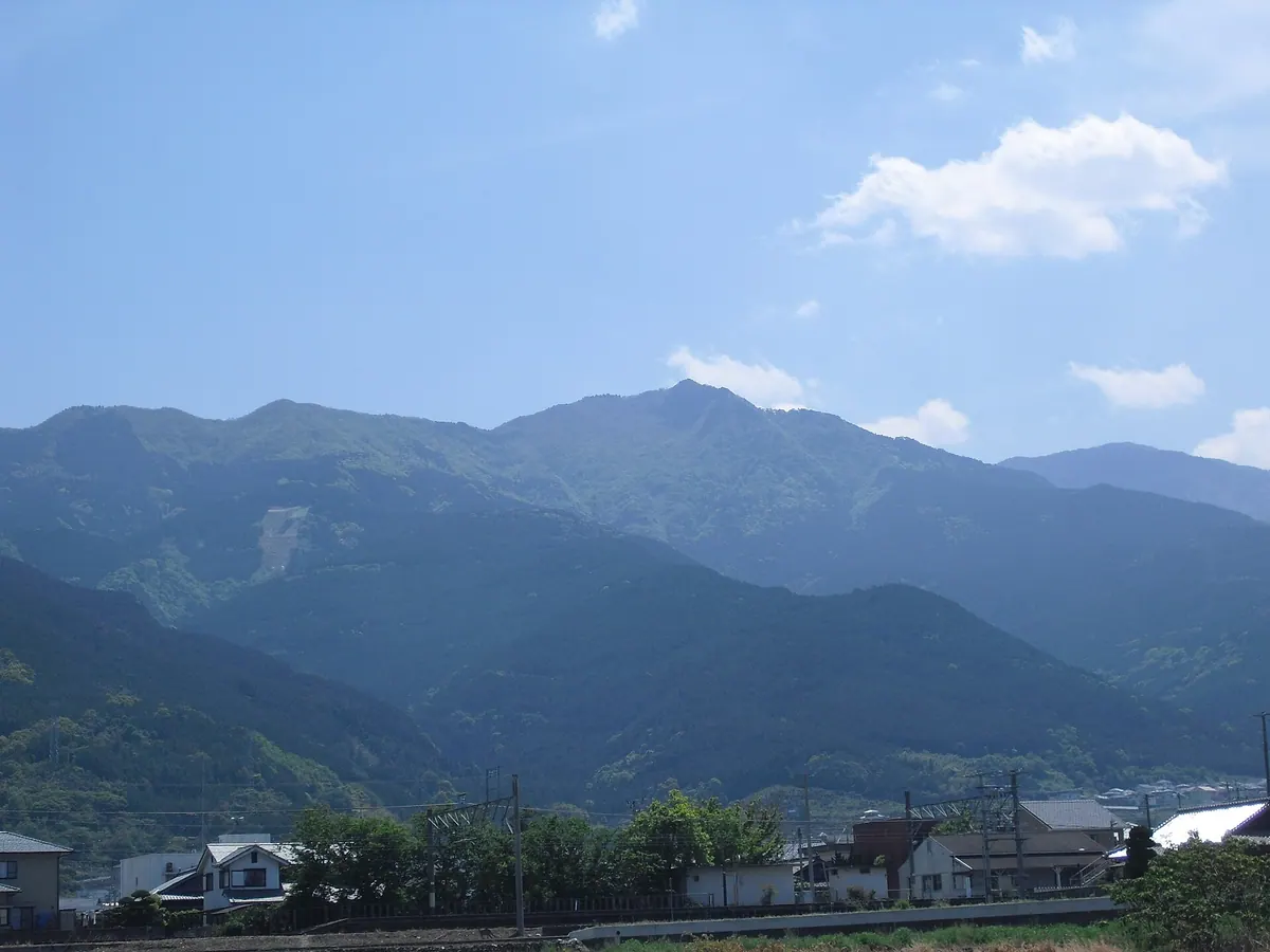
A 1,274-meter peak in Ehime featuring a historic shrine, rare alpine flowers, and unique geological formations along the ridge.
What it is
- A 1,274-meter mountain in the Houou Range and one of the Shikoku 100 Famous Mountains.
- Home to the Toyoke Shrine Okumiya which enshrines the deity Toyouke-hime-no-mikoto.
- A site for the Fuchinsai ritual held to suppress local winds.
- Part of the Sambagawa Metamorphic Belt with the Median Tectonic Line at its northern foot.
What to see
- The Toyoke Shrine Okumiya which undergoes a ceremonial rebuilding every twenty years.
- A natural wind cave located near the mountain summit.
- Natural forests that remain preserved around the main ridge and the peak.
- Dogtooth violets growing along the ridge leading toward Mount Nokogiri.
19
Mount Washigatō
EHIME · PLACE 鷲ヶ頭山
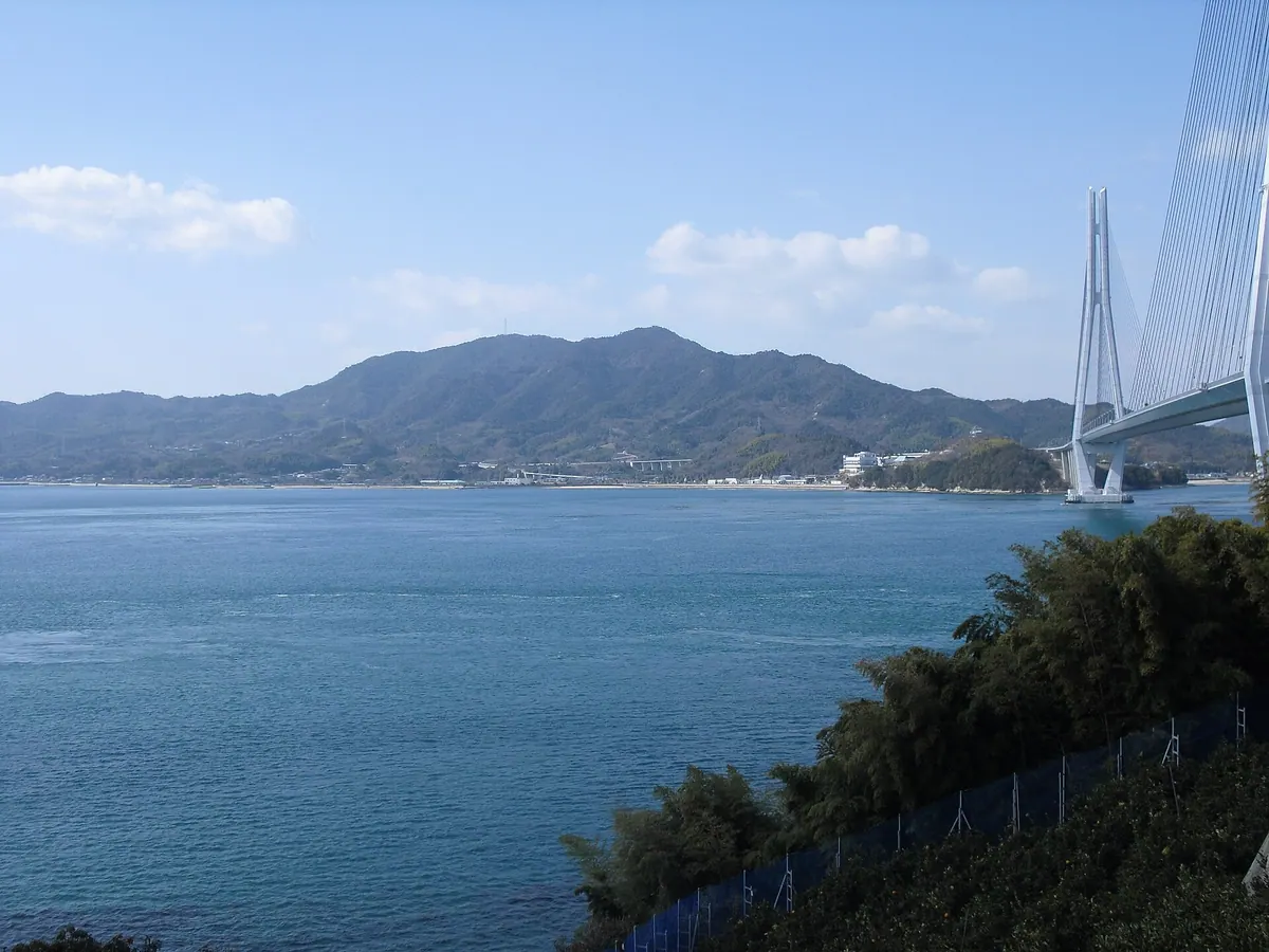
The highest peak on Omishima Island, this sacred granite mountain offers panoramic views within the Setonaikai National Park.
What it is
- The highest peak on Omishima Island standing at 436 meters tall.
- A sacred body of worship for the nearby Oyamazumi Shrine.
- One of the 100 Famous Mountains of Shikoku within a national park.
- A granite mountain historically known as Washimine-san or Kannoyama.
What to see
- Extensive citrus orchards covering the foothills of the mountain.
- A second-class triangulation point located at the summit.
- The headwaters of the Utenahon River on the southern slope.
- Panoramic views of the surrounding Setonaikai National Park.
When to go
- Accessible year-round via paved roads for cars and bicycles.
20
Mount Kirō
EHIME · PLACE 亀老山
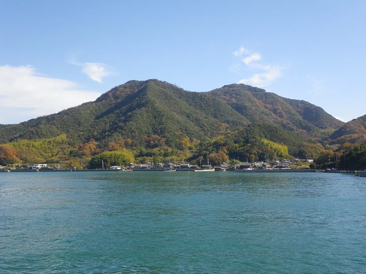
A 307-meter mountain park on Oshima Island featuring a Kengo Kuma observatory with panoramic views of the Kurushima Strait.
What it is
- A 307.8-meter mountain summit designated as Kiro-san Observatory Park on Oshima Island.
- Part of the Setonaikai National Park offering views of the Geiyo Islands.
- An archaeological site where Yayoi pottery and a Kamakura period pagoda were discovered.
- A highly ranked observation spot designed by architect Kengo Kuma in 1994.
What to see
- A modern observatory embedded into the mountain to preserve the natural landscape.
- Panoramic views of the Kurushima Strait and surrounding islands.
- A Kamakura period pagoda believed to be the grave of Murakami Yoshihiro.
- The Shikoku 88 Views scenery from the top of the mountain.