

20 Mountains in Ōita worth your time
Japan Gems
23 Mountains in Ōita, with what to see and how to get there.
Ōita has 23 mountains on Japan Gems. Below are the 20 we can tell you the most about — each one written up in English from Japanese sources, with what to see and how to get there. See all mountains in Ōita.
01
Mount Kirikabu
ŌITA · PLACE 伐株山
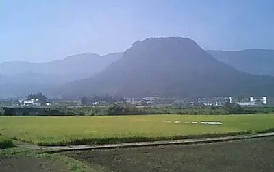
A 685-meter mesa featuring castle ruins, paragliding sites, and a glass-walled rest house with panoramic views of Oita.
What it is
- A flat-topped mesa mountain standing 685.5 meters tall in Oita Prefecture.
- Part of the Yaba-Hita-Hikosan Quasi-National Park and a designated Japan Heritage site.
- The historical site of Kusu Castle ruins located on the mountain summit.
- A popular base for paragliding activities due to its unique landform.
What to see
- The Kirikabu House rest facility featuring large glass walls for viewing.
- Remnants of the Kusu Castle ruins situated at the top of the mountain.
- The Nishi-Kusu television relay station located on the summit.
- Panoramic views of the surrounding landscape from the flat butte plateau.
When to go
- May to June to see Miyama Kirishima and Enkianthus perulatus in bloom.
Getting there
- A 20-minute drive from the Kusu Interchange to reach the mountain.
02
Kuju Mountains
ŌITA · PLACE 九重山
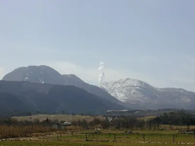
A volcanic mountain range in Oita offering diverse hiking trails, high-altitude marshes, and seasonal azalea blooms across several peaks.
What it is
- A group of andesite and dacite volcanoes located within Aso-Kuju National Park.
- One of Japan's 100 Famous Mountains featuring the 1,791-meter high Mount Nakadake.
- A protected natural area home to the Ramsar-registered Tadewara Marsh.
- A geothermal region with power plants operating near the Sujiyu Onsen area.
What to see
- Mount Kuju, a prominent lava dome reaching 1,787 meters in height.
- The stratovolcano of Mount Taisensan located within the mountain range.
- Miyama Kirishima azaleas that cover the slopes in vibrant colors.
- Hokkein Onsen, a remote hot spring accessible only by walking trails.
When to go
- Early summer to see the Miyama Kirishima azaleas in full bloom.
Getting there
- Makinoto Pass and Chojabaru serve as the primary trailheads for hikers.
03
Mount Kuju
ŌITA · PLACE 久住山
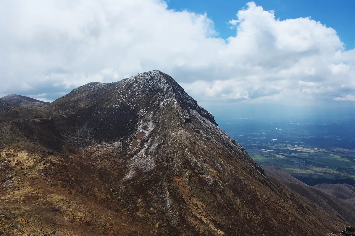
A prominent volcano in Oita Prefecture offering high-altitude hiking trails and views across the expansive Kuju Plateau.
What it is
- A 1786.5 meter tall volcano located within the Kuju Mountain Range in Taketa City.
- One of the 100 Famous Japanese Mountains and a top peak in Kyushu.
- A natural landmark featuring a first-class triangulation point at its summit.
What to see
- The Kuju Plateau extending across the southern foot of the mountain.
- Panoramic views from the summit reaching an elevation of 1786.5 meters.
- Diverse hiking trails originating from multiple mountain passes and hot spring areas.
When to go
- Mountain opening ceremonies held annually, alternating with Mount Taisan.
Getting there
- Hiking trails are accessible from the Makinoto Pass and Chojabaru trailheads.
- Alternative access routes are available from Akagawa Onsen and the southern trailhead.
04
Mount Yufu
ŌITA · PLACE 由布岳
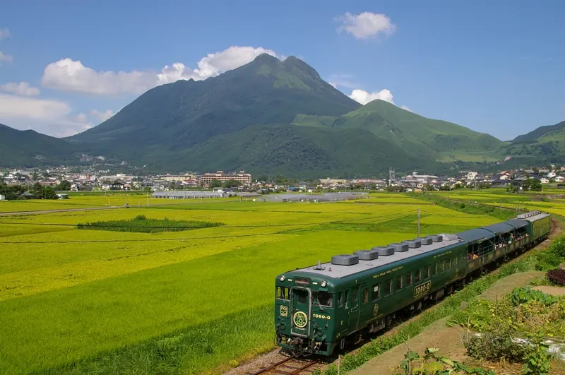
An active volcano with twin peaks and scenic trails, offering panoramic views within the Aso-Kuju National Park.
What it is
- An active volcano standing at an elevation of 1,583 meters in Oita Prefecture.
- A designated part of the Aso-Kuju National Park mentioned in ancient Japanese chronicles.
- One of the 200 Famous Japanese Mountains nicknamed Bungo Fuji for its conical shape.
- A geological site primarily composed of andesite and dacite rock types.
What to see
- Two distinct summits known as Higashimine and Nishimine at the top.
- Three main climbing routes including the Central, West, and East trails.
- Vibrant Miyama Kirishima azaleas that cover the landscape in early summer.
When to go
- Late May to early June to see the blooming azaleas.
Getting there
- Take a bus from Yufuin Station to the Yufudake-tozuguchi stop.
05
Mount Inu
ŌITA · PLACE 犬ヶ岳 (福岡県・大分県)

A 1,130-meter mountain with four peaks and historical ties to Shugendo asceticism, offering hiking trails through a quasi-national park.
What it is
- A mountain standing 1,130.8 meters above sea level across Fukuoka and Oita prefectures
- A site historically used for Shugendo mountain asceticism practices
- A protected natural area within the Yaba-Hita-Hikosan Quasi-National Park
- A landscape consisting of four distinct peaks with multiple natural springs
What to see
- An observation deck and emergency shelter located on the main peak
- The Oitsuri Rock section which features a steep chain climbing area
- Tsukushi rhododendrons that bloom across the mountain slopes
- Vibrant autumn foliage throughout the forested hiking trails
When to go
- Visit around May to see the Tsukushi rhododendrons in bloom
- Autumn is the best time for viewing the colorful mountain foliage
06
Mount Tawara
ŌITA · PLACE 田原山
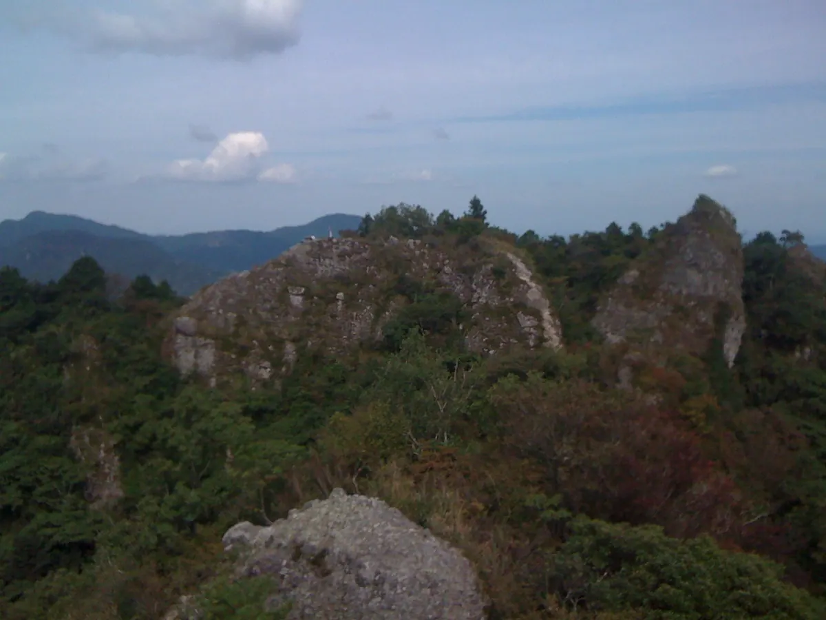
A jagged 542-meter peak in Kyushu featuring ancient stone Buddhas, medieval castle ruins, and panoramic views of Beppu Bay.
What it is
- A 542-meter mountain also known as Mount Nokogiri located in Bungotakada and Kitsuki.
- One of the 100 Mountains of Kyushu featuring a long ridge with jagged rock formations.
- Site of the medieval Tawara Mountain Castle which belonged to the Tawara clan.
- Home to the Kumano Magaibutsu stone buddhas on the western slope.
What to see
- The Kumano Magaibutsu stone buddhas designated as a National Important Cultural Property.
- Panoramic views of Yufu and Tsurumi mountains from the summit.
- Vistas overlooking Beppu Bay and the Suo Sea from the peak.
- Remains of the Tawara Mountain Castle located on the northern ridge.
Getting there
- The trailhead is a ten minute drive from Nakayamaga Station.
07
Mount Garan
ŌITA · PLACE 伽藍岳
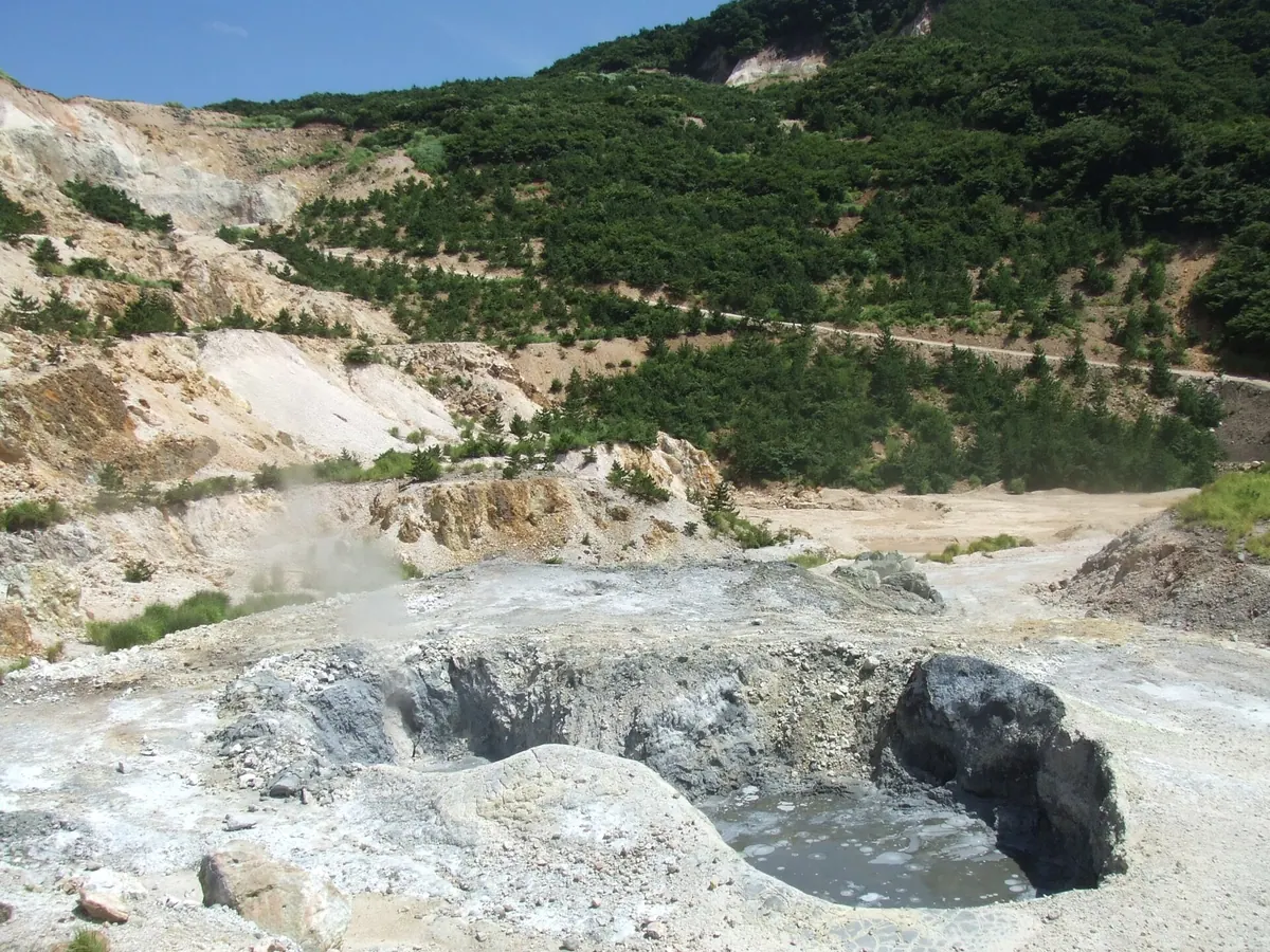
An active stratovolcano featuring a large crater and mud volcano, located near the famous Tsukahara Onsen in Oita Prefecture.
What it is
- An active stratovolcano standing at an elevation of 1,045 meters in Yufu City
- Part of the Tsurumidake and Garandake volcanic group, also known as Mount Iou
- A heat source for the Myoban hot springs with a recorded eruption in 867
- Added to the official active volcano list by the Japan Meteorological Agency in 2003
What to see
- An arc-shaped crater measuring 300 meters wide located on the mountainside
- A mud volcano that has been forming at the site since 1995
- The remains of a former silica open-pit mine within the crater area
- Tsukahara Onsen situated on the western slope of the mountain
Getting there
- The crater area is a three-minute walk from Tsukahara Onsen
08
Mount Takasaki
ŌITA · PLACE 高崎山

A 628-meter lava dome in Oita Prefecture home to wild Japanese macaques and the ruins of a medieval castle.
What it is
- A 628-meter lava dome formed approximately 500,000 years ago.
- Part of the Setonaikai National Park in Oita Prefecture.
- A natural habitat for wild Japanese macaques.
- Site of the former Takasaki Mountain Castle used by the Otomo clan.
What to see
- Wild Japanese macaques at the nature zoo located at the mountain foot.
- Historical ruins of Takasaki Mountain Castle at the summit.
- Remnants of a signal fire station dating back to the Nara period.
- Views of Beppu Bay from the coastal side of the mountain.
Getting there
- A mountain trail provides access from the south trailhead to the summit.
- National Route 10 runs along the coast at the base of the mountain.
09
Mount Io
ŌITA · PLACE 硫黄山
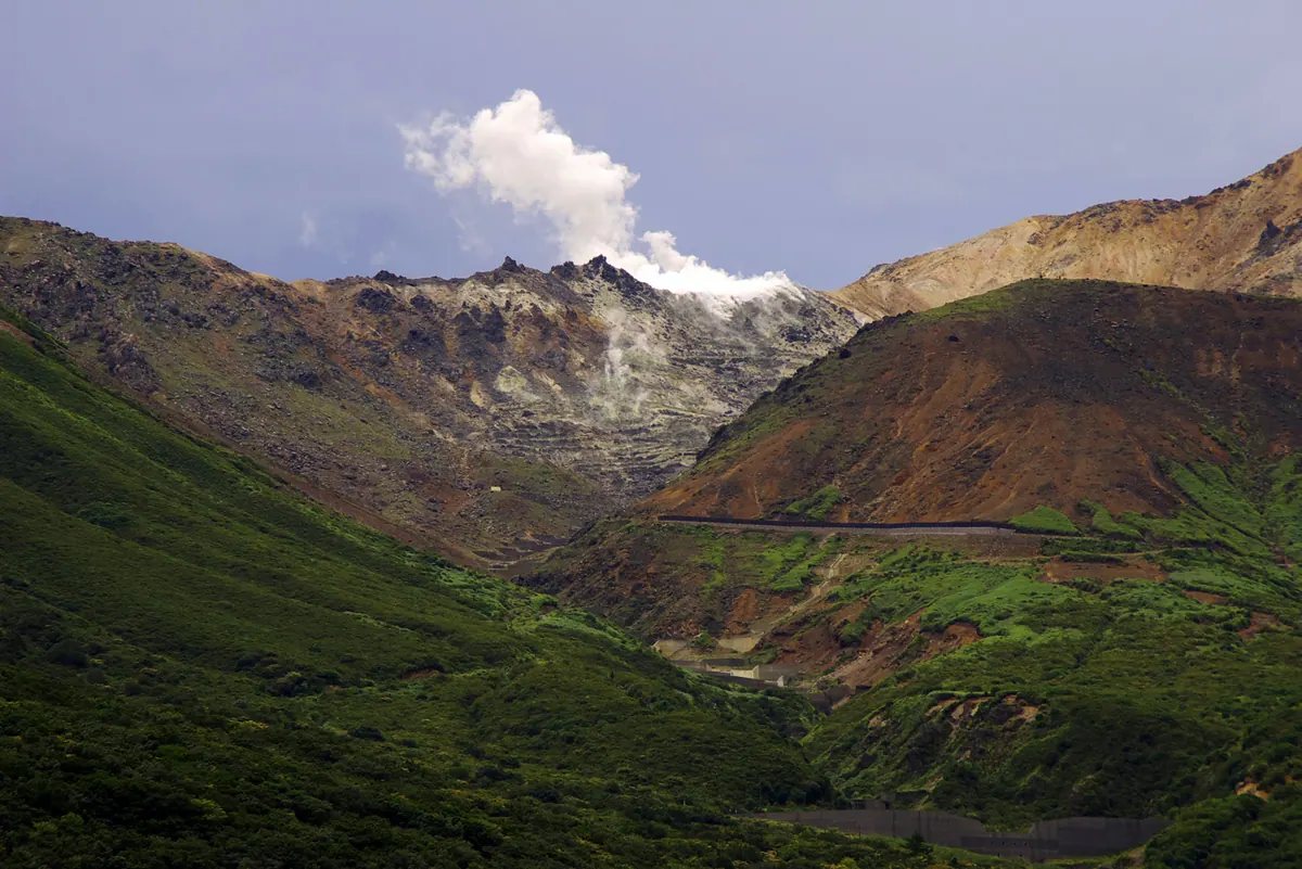
An active 1580-meter volcanic peak in the Kuju Mountains known for its history of sulfur mining and dramatic gas emissions.
What it is
- An active volcano standing at 1580 meters in the Kuju Mountains of Oita Prefecture.
- A former commercial sulfur mining site that operated from the Edo period until 1972.
- A peak on the eastern ridge of Mount Hossho that constantly emits volcanic gases.
- A site with a history of eruptions occurring approximately every 1000 years.
What to see
- Constant emissions of volcanic gases from the active peak.
- The Kitansenrigahama area which lacks vegetation due to the presence of volcanic gases.
- The Yamanami Highway which was constructed on former sulfur transport roads.
When to go
- The area is currently designated as off-limits to visitors due to volcanic activity.
10
Mount Mimata
ŌITA · PLACE 三俣山

A prominent volcano in the Kuju Range featuring four peaks and ancient crater remains for hikers in Oita Prefecture.
What it is
- A volcano in the Kuju Mountain Range on the border of Taketa and Kokonoe.
- One of the 100 Famous Mountains of Kyushu and Oita.
- A mountain formed by volcanic activity that ended approximately 15,000 years ago.
- A collection of four distinct peaks including a main peak reaching 1,744 meters.
What to see
- Two crater remains known as Onabe and Konabe located on the North Peak.
- Lava domes that form the West Peak and the main peak.
- A third-class triangulation point situated at the summit of the main peak.
- Debris avalanche deposits visible on the northwestern side of the mountain.
Getting there
- The mountain is located southeast of the Chojabaru trailhead.
11
Mount Furusobo
ŌITA · PLACE 古祖母山
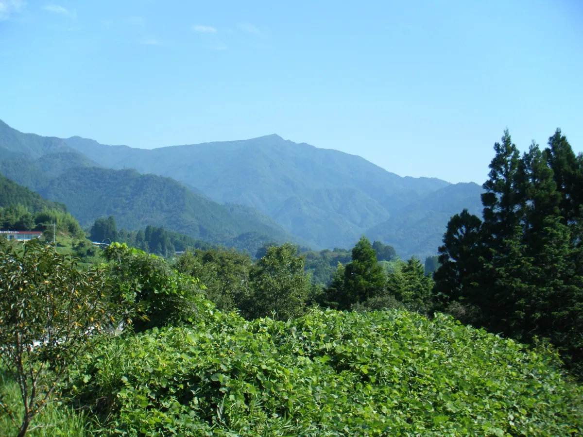
A 1,633-meter mountain on the Oita-Miyazaki border featuring dual peaks and legendary ties to the grandmother of Emperor Jimmu.
What it is
- A mountain peak reaching an elevation of 1,633.1 meters on the Oita and Miyazaki border.
- The name originates from the grandmother of Emperor Jimmu according to local legend.
- Legend says the deity Toyotama-hime descended to this specific mountain.
- The site forms part of the Sobo-Katamuki longitudinal hiking trail.
What to see
- The summit consists of two distinct peaks for visitors to explore.
- The southern peak marks the highest point of the mountain.
- A third-class triangulation point is located on the southern peak.
- Views of Mount Shoji and Mount Sobo located to the north.
Getting there
- A trailhead is located at Obira in Ogata Town.
12
Mount Tsurumi
ŌITA · PLACE 鶴見岳
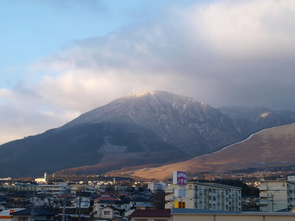
An active volcano overlooking Beppu, offering a shrine and panoramic views accessible by a ten-minute ropeway ride.
What it is
- An active volcano standing 1,375 meters tall within Aso Kuju National Park
- The primary source of the famous Beppu hot spring resort area
- Home to the Okunoin shrine of Hioyama-Hime Shrine, which dates back to 771
- A site for broadcasting and communication relay facilities serving the region
What to see
- The Beppu Ropeway which transports visitors to the summit in ten minutes
- The Okunoin shrine located at the top of the mountain
- Volcanic landscapes composed mainly of andesite and dacite rocks
When to go
- January for the annual endurance contest held at the summit
- April to witness or join the Beppu Tsurumidake Ikki Climb from sea level
13
Mount Ogura
ŌITA · PLACE 小倉岳
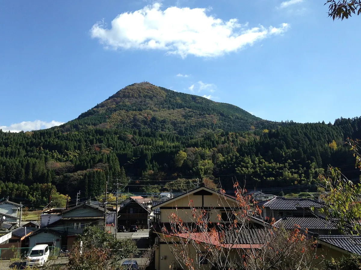
A 770-meter conical mountain in Oita featuring ancient archaeological sites, a historic shrine, and ruins of a medieval mountain castle.
What it is
- A 770-meter peak nicknamed Onigiri-yama because of its distinct conical shape.
- Site of Ogura Shrine, which was established on the summit in the year 925.
- Location of a medieval mountain castle formerly occupied by the Oda and Kibe clans.
- An archaeological site where Jomon and Yayoi period pottery and stone tools were discovered.
What to see
- Ogura Shrine, which was moved to the northwestern foot of the mountain in 1322.
- The summit where prehistoric stone spears and tools were excavated by archaeologists.
- Remains of the medieval castle structures once used by local ruling clans.
- Slopes where ancient pottery from the Jomon and Yayoi periods was found.
14
Mount Hane
ŌITA · PLACE 万年山
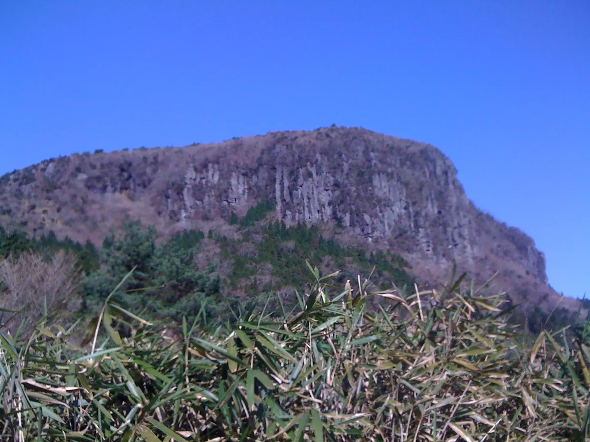
A rare double-layered mesa mountain in Kyushu offering panoramic views of the Kuju Range and seasonal azalea blooms.
What it is
- A 1,140-meter mountain spanning Hita City, Kusu Town, and Kokonoe Town.
- Part of the Yaba-Hita-Hikosan Quasi-National Park landscape.
- A rare double-layered mesa structure recognized as a top geological site.
- One of the 100 Famous Mountains of Kyushu according to regional lists.
What to see
- Panoramic views of the Kuju Mountain Range from the summit.
- The peak of Mount Yufu visible to the east.
- The vast Kusu Basin stretching out to the north.
- Distinctive geological formations similar to the mesa of Mount Arafune.
When to go
- May to June to see the Miyama Kirishima azaleas in bloom.
15
Mount Ōhira
ŌITA · PLACE 大平山
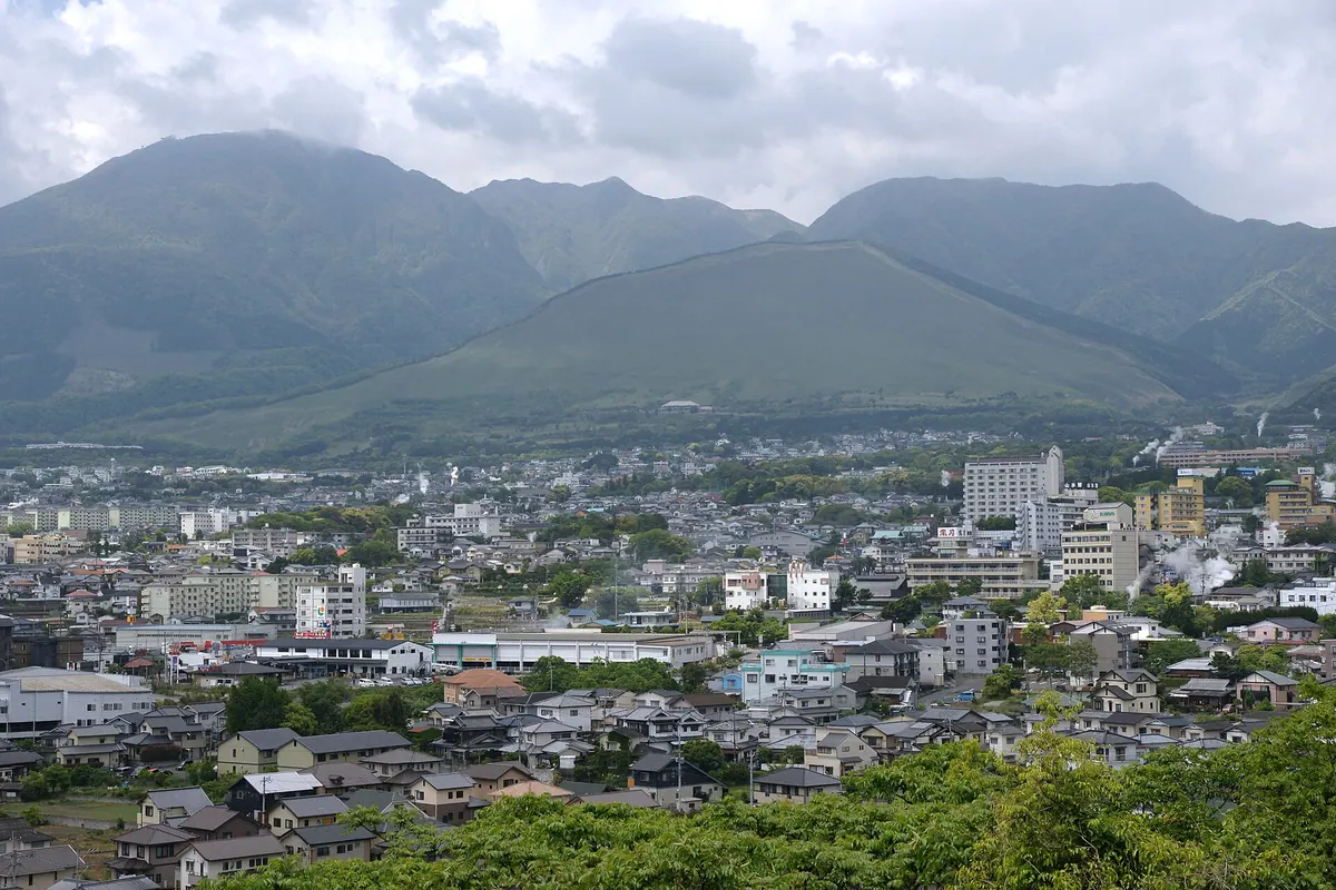
An 815-meter peak in Beppu famous for a massive fire festival that signals the start of spring to local deities.
What it is
- A mountain in Beppu City standing at an elevation of 815 meters.
- Commonly known as Mount Ogi because its shape resembles a folding fan.
- Recognized as one of the Oita One Hundred Mountains.
- The eastern slopes were originally used as pasture land for the local area.
What to see
- Controlled burning of the slopes during the Mount Ogi Fire Festival.
- A fan-shaped silhouette that gives the mountain its popular local nickname.
When to go
- The first weekend of April for the annual controlled burning event.
- During the Beppu Hatto Onsen Festival to see the fire ritual highlights.
16
Mount Futago
ŌITA · PLACE 両子山
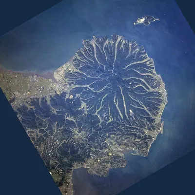
The highest peak on the Kunisaki Peninsula, offering a volcanic landscape surrounded by historic temples and national park scenery.
What it is
- The highest peak on the Kunisaki Peninsula at 720.6 meters elevation.
- A volcanic lava dome formed 1.9 million years ago from andesite and dacite.
- Part of the Setonaikai National Park in Oita Prefecture.
- A central point for the historic Rokugo Manzan temples located around its base.
What to see
- Government radio relay stations situated at the mountain summit.
- Mandarin orange groves cultivated in the areas surrounding the mountain.
- Futago-ji Temple located at the start of the summit maintenance road.
- Volcanic rock formations characteristic of the Futago volcanic group.
17
Mount Taisen
ŌITA · PLACE 大船山
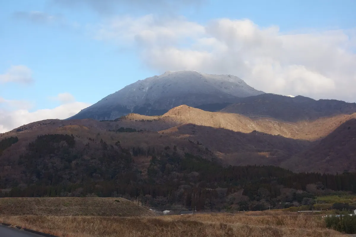
A 1,786-meter volcano in Oita featuring crater lakes, historic tombs, and protected azalea fields within the Kuju Mountain Range.
What it is
- A 1,786-meter volcano located in the Kuju Mountain Range of Taketa City.
- A peak standing directly opposite Mount Kuju across the Bogatsuru marsh.
- The site of the tomb of Nakagawa Hisakiyo at 1,400 meters elevation.
- A mountain that hosts alternating opening ceremonies with neighboring Mount Kuju.
What to see
- Three distinct crater remains located near the mountain summit.
- Oike, a circular crater lake situated near the peak.
- Miyama Kirishima azalea communities designated as a national natural monument.
- The tomb of Nakagawa Hisakiyo, which is a national historic site.
18
Mount Hossho
ŌITA · PLACE 星生山
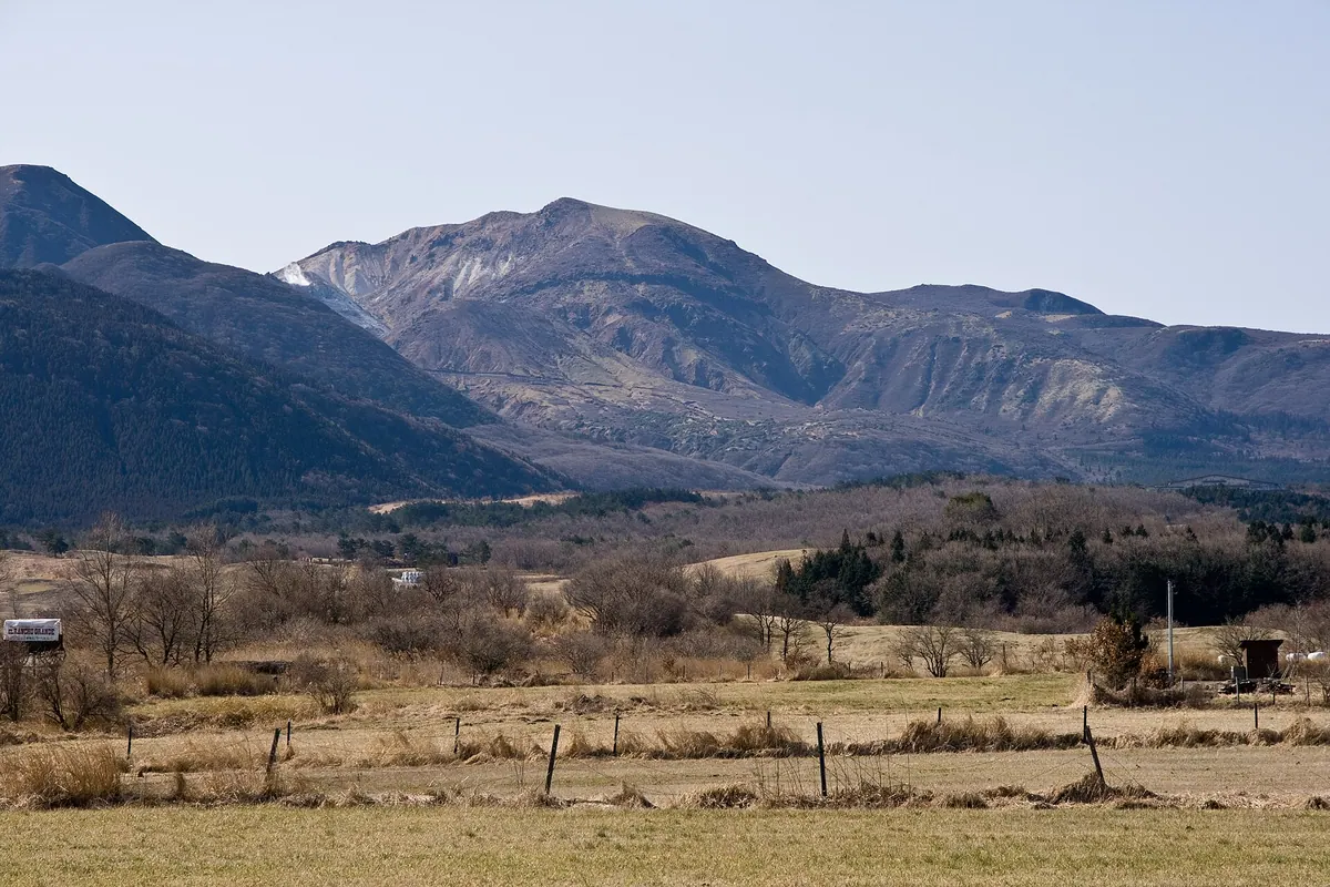
A 1,762-meter active volcano in the Kuju range offering views of recent eruption sites and active fumaroles.
What it is
- An active volcano standing at 1,762 meters in the Kuju mountain range.
- The highest peak located within Kokonoe Town in Oita Prefecture.
- A site of significant volcanic activity that last erupted from 1995 to 1996.
- A mountain that was closed to the public until 2002 due to toxic gases.
What to see
- Active fumaroles emitting volcanic gases from the mountain side.
- Evidence of ash fall from the eruptions that occurred in the mid-1990s.
- The adjacent Mount Io where the 1995 eruption originally began.
- Panoramic views from the highest point in the local Kokonoe area.
19
Mount Ōmure
ŌITA · PLACE 大村山
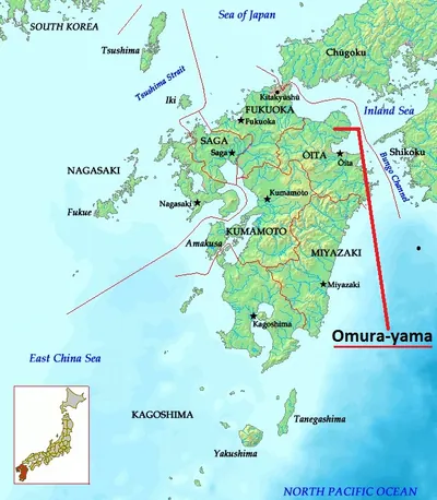
A 418-meter peak in Kitsuki City offering historical significance as a former battlefield and host of an annual local festival.
What it is
- A mountain standing at an elevation of 418.6 meters in Yamaga Town.
- The site of the Battle of Seibagahara which took place in 1534.
- A natural landmark situated near the flowing Ichiba River.
What to see
- The western foot of the mountain where a historic battle occurred.
- Views of the surrounding Kitsuki City landscape from the slopes.
When to go
- Visit during the annual Yamaga History Festival held at the site.
Getting there
- The mountain is a ninety minute walk from Nakayamaga Station.
20
Mount Hongū
ŌITA · PLACE 本宮山
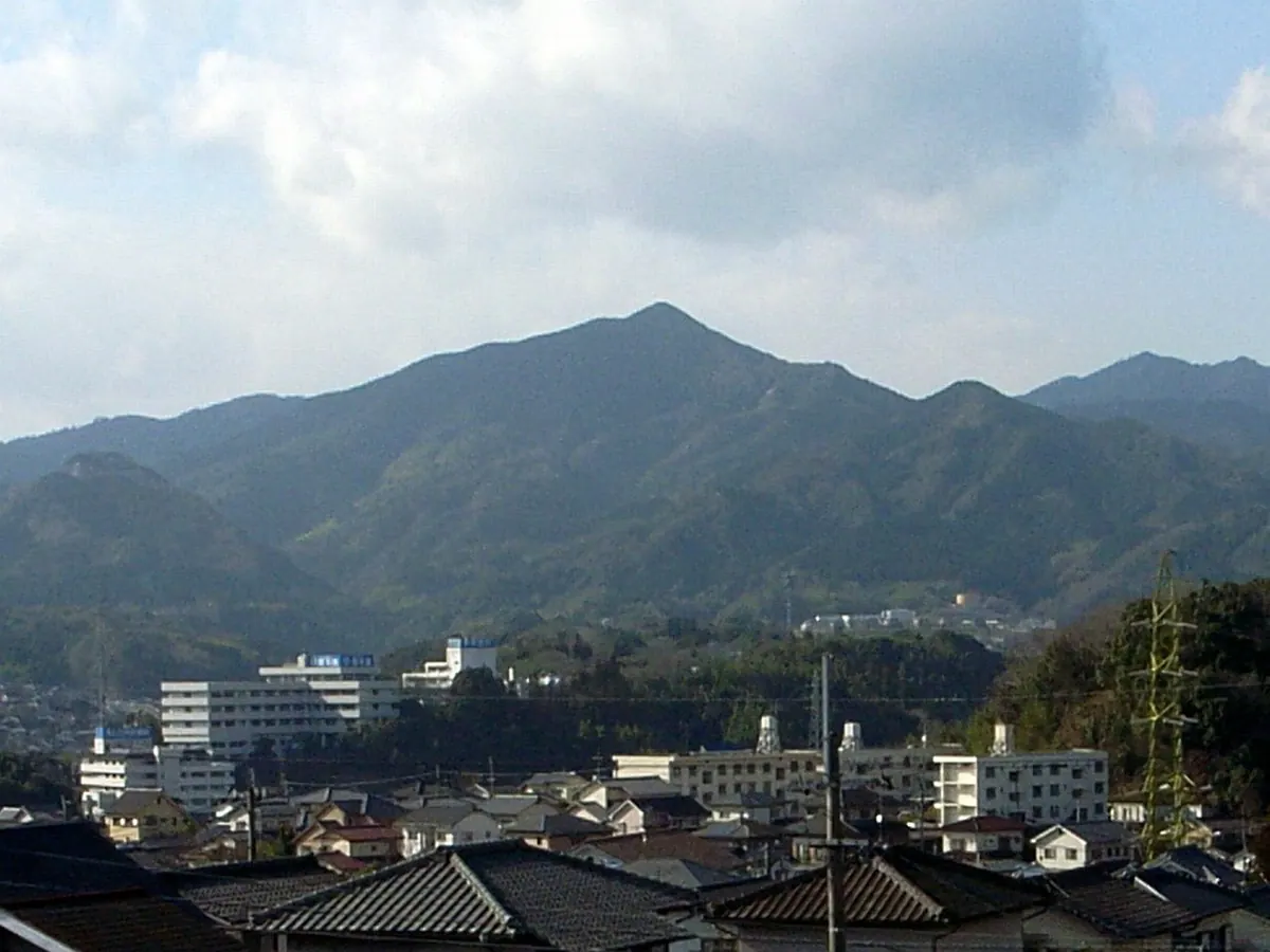
A 607-meter peak in Oita City featuring an ancient mountaintop shrine and a sacred ten-meter rock cluster.
What it is
- A 607.6 meter mountain in southern Oita City formerly known as Mount Sasamuta
- Site of the inner shrine of Sasamuta Shrine founded in the year 278
- The natural source of three different rivers
- A sacred location where the original summit shrine was moved to the foothills in 1409
What to see
- Hongu Shrine located near the summit of the mountain
- Sekihoden, a ten meter high rock cluster worshipped as a sacred site
- An eight kilometer hiking trail leading up from Sasamuta Shrine
- Oita Prefectural Road 41 which passes through the mountainside