

20 Mountains in Kagoshima worth your time
Japan Gems
21 Mountains in Kagoshima, with what to see and how to get there.
Kagoshima has 21 mountains on Japan Gems. Below are the 20 we can tell you the most about — each one written up in English from Japanese sources, with what to see and how to get there. See all mountains in Kagoshima.
01
Hoyoshi dake
KAGOSHIMA · PLACE 甫与志岳
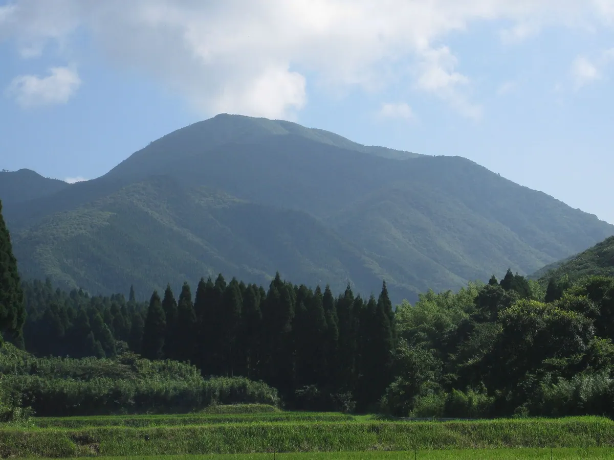
The highest peak in the Kimotsuki Mountains featuring a granite summit, a stone shrine, and rare azalea species.
What it is
- The highest peak in the Kimotsuki Mountains and part of the Kunimi no Mitake group.
- A historical site for mountain worship dedicated to the deity Hikohohodemi no Mikoto.
- The southeastern slope is a designated prefectural natural environment conservation area.
What to see
- A large granite rock formation that forms the mountain summit.
- A stone shrine dedicated to Hikohohodemi no Mikoto located at the top.
- Rare Kimotsuki mitsuba tsutsuji and Osumi mitsuba tsutsuji flowers growing on the slopes.
- A first-class triangulation point situated at the highest elevation.
- Challenging sections near the peak that require climbing with chains.
When to go
- Locals traditionally climb the mountain on April 3rd of the lunar calendar.
Getting there
- Common climbing routes to the summit begin from the Futamatagawa campsite.
02
Mount Kaimon
KAGOSHIMA · PLACE 開聞岳
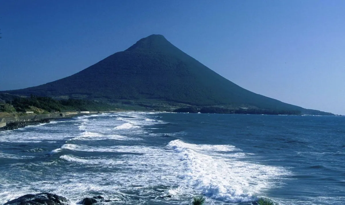
A perfectly conical 924-meter volcano known as Satsuma Fuji, offering a spiral hiking trail and panoramic views of Kagoshima.
What it is
- A 924-meter volcano located within the Kirishima-Yaku National Park.
- One of the 100 Famous Japanese Mountains known locally as Satsuma Fuji.
- A basaltic mountain body topped with an andesite dome from ancient eruptions.
- A sacred site worshipped by the Hira-kiki Shrine located at the mountain base.
What to see
- A distinct two-tiered mountain shape formed during a major eruption in 885.
- A spiral hiking trail that winds around the mountain to the summit.
- A 360-degree view from the peak including the nearby Lake Ikeda.
- Tokara horses raised at the nature park situated at the mountain foot.
Getting there
- The mountain is located near Kaimon Station on the JR Ibusuki Makurazaki Line.
- The hike to the summit takes approximately three hours to complete.
03
Mount Kuromi
KAGOSHIMA · PLACE 黒味岳
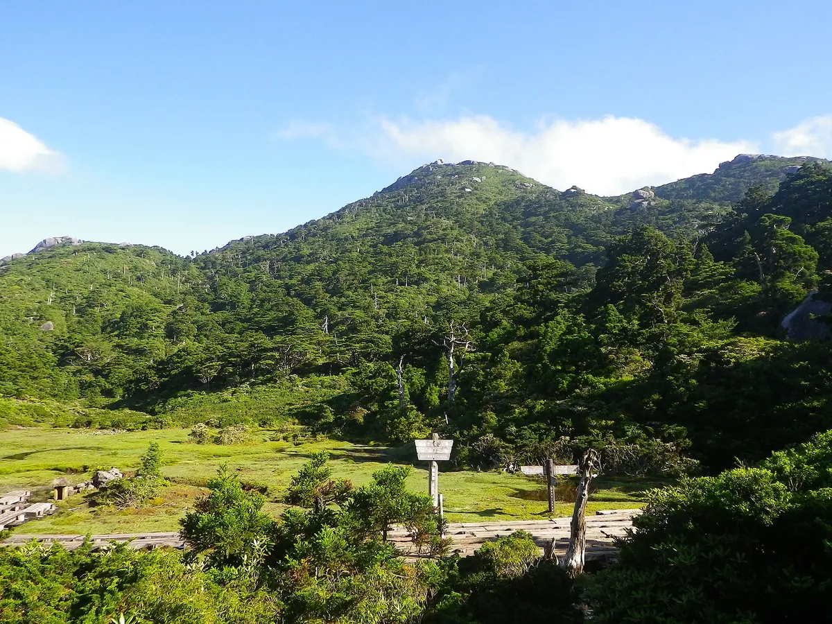
A 1,831-meter UNESCO World Heritage peak on Yakushima featuring massive granite formations and rare endemic plant species.
What it is
- The sixth highest peak in Kyushu and one of the Kyushu 100 Famous Mountains.
- A UNESCO World Heritage site located south of Mount Miyanoura on Yakushima Island.
- One of the three peaks that make up the Yakushima Sanzan trio.
- A high-altitude destination standing at an elevation of 1,831 meters.
What to see
- Massive granite formations with distinct joints located at the mountain summit.
- The Hana-no-ego highland marsh situated to the southeast of the peak.
- Endemic flora including the Yakushima rhododendron growing along the slopes.
- The Yodogawa Hut, a wooden shelter found at 1,380 meters elevation.
- Ishizuka Hut, a block-built mountain shelter located at 1,600 meters.
Getting there
- The hiking trail begins at the Yodogawa trailhead at 1,370 meters.
04
Mount Noma
KAGOSHIMA · PLACE 野間岳
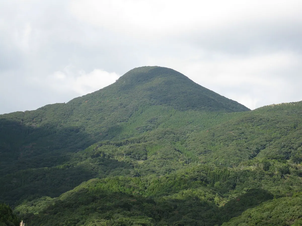
A 591-meter volcanic peak and historic navigational landmark featuring a shrine, subtropical flora, and legendary palace ruins.
What it is
- One of the Three Famous Mountains of the Satsuma Peninsula reaching 591 meters.
- A volcanic peak composed of andesite and tuff breccia rock.
- A historic navigational landmark used by sailors and formerly known as Tianfei Shan.
- The legendary site of Kasasa Palace according to local tradition.
What to see
- Noma Shrine located at the eighth station of the mountain.
- Subtropical flora including banyan and sudajii trees growing on the slopes.
- A first-class triangulation point situated at the mountain summit.
- Views from the hiking trail that begins at Kurose.
When to go
- An annual festival is held at Noma Shrine on February 20.
Getting there
- The hiking trail from Kurose takes approximately two hours to ascend.
05
Ōno Dake
KAGOSHIMA · PLACE 大野岳
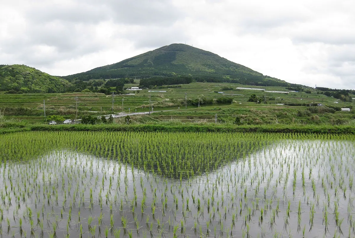
A volcanic peak on the Satsuma Peninsula offering panoramic views of Lake Ikeda and Mount Kaimon from its summit observation deck.
What it is
- A small stratovolcano made of pyroxene andesite on the southern Satsuma Peninsula.
- The summit area is a designated conservation forest and nature park established in 1987.
- The site features a shrine and a relay station near the peak.
- The mountain slopes are home to natural forests and endangered plant species.
What to see
- Panoramic views of Lake Ikeda and the iconic Mount Kaimon from the observation deck.
- The Ono Dake Shrine located at the top of the mountain.
- Natural forests of Machilus thunbergii growing along the mountainside.
- Public plazas and parking areas within the nature park grounds.
- Rare and endangered flowers such as the Disporum flavens.
When to go
- Visit during the spring for the annual marathon and tea festival.
06
Mount Karakuni
KAGOSHIMA · PLACE 韓国岳
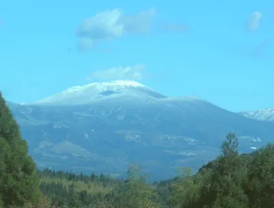
The highest peak in the Kirishima Mountains offering a massive volcanic crater and views of surrounding highland lakes.
What it is
- The highest peak of the Kirishima Mountains on the Miyazaki and Kagoshima border.
- A volcanic summit formed from lava flows dating back fifteen thousand years.
- Part of the New Kirishima Volcano group with a name appearing in ancient chronicles.
- A natural habitat where wild deer are frequently seen on the mountain slopes.
What to see
- A massive summit crater measuring nine hundred meters in diameter.
- Ebino Plateau located on the northwestern side of the mountain.
- Onami Pond situated on the southwestern mountainside.
- Mount Iwo which was formed by a flank eruption in seventeen sixty-eight.
- A mountain refuge hut established on the southern side of the peak.
Getting there
- The most common climbing route starts from Ebino Plateau.
07
Mount Kurio
KAGOSHIMA · PLACE 栗生岳
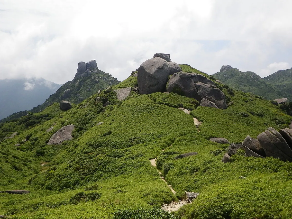
The third highest peak in Kyushu, featuring a massive granite summit and a sacred shrine on Yakushima Island.
What it is
- A mountain peak standing at 1,867 meters elevation on Yakushima Island.
- One of the three peaks forming the Yaku Sangaku trio.
- A site for traditional mountain pilgrimages performed by residents of Kurio village.
- A sacred location featuring a shrine dedicated to Ippin Hoshu Daigongen.
What to see
- A massive granite rock formation that forms the mountain summit.
- Mountain slopes covered in a landscape of Yakuzasa bamboo and granite rocks.
- A shrine located just below the summit area.
- The high-altitude marshland of Hananoego at 1,640 meters along the trail.
Getting there
- The Yodogawa trailhead serves as a primary starting point for the climb.
- A traditional approach follows the Kurio trail directly from Kurio village.
08
Gyōnin-dake
KAGOSHIMA · PLACE 行人岳
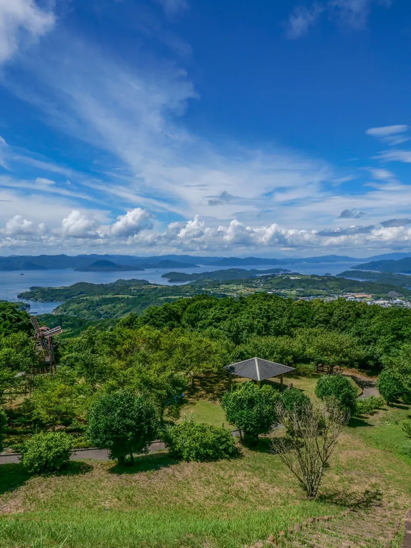
A 393-meter mountain in Kagoshima offering panoramic island views and a prime vantage point for observing migrating cranes.
What it is
- A mountain standing 393.7 meters tall in Nagashima Town.
- Home to the Gyōnin-dake Fudō Myōō-byō temple and an administrative office.
- A religious site where Zaō Gongen and Fudō Myōō are enshrined.
- A public park area featuring a relay station and visitor facilities.
What to see
- Panoramic views of the Amakusa Islands and Mount Unzen from the summit.
- Migrating cranes flying overhead on their return journey toward Siberia.
- The enshrined statues of Zaō Gongen and Fudō Myōō.
- A dedicated slope designed for easier accessibility around the site.
When to go
- Visit during the crane migration season to see birds heading north.
- Clear days offer the best visibility of the distant islands and volcanoes.
09
Mount Kurino
KAGOSHIMA · PLACE 栗野岳
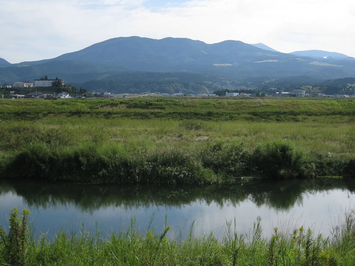
A volcanic complex in Kagoshima featuring an open-air museum, hot springs, and Japan's longest sleeper stairs.
What it is
- A complex of multiple volcanoes forming the western end of the Kirishima mountain range.
- The site of a former alum mine that operated during the Edo period.
- The setting for the famous story Grandfather Daizo and the Wild Geese.
- A natural landmark that began forming approximately three hundred thousand years ago.
What to see
- The Kirishima Open-Air Museum located on the southwest slope of the mountain.
- Japan's longest sleeper stairs found within the Mount Kurino Recreation Village.
- Mount Kurino Onsen situated on the western side of the mountain.
- Wild Edohigan cherry trees marking the southern limit for this specific species.
- Ebino Plateau located five kilometers to the east of the mountain.
10
Ohachi
KAGOSHIMA · PLACE 御鉢
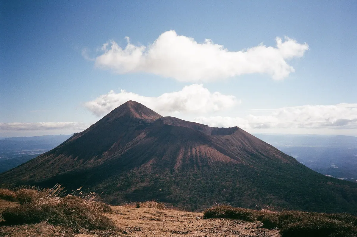
An active volcanic crater in the Kirishima range offering a dramatic hiking trail along its steep, 200-meter deep rim.
What it is
- An active volcano located in the Kirishima mountain range between Kagoshima and Miyazaki.
- The original site of Kirishima Jingu Shrine before volcanic activity forced its relocation.
- A geological formation primarily composed of pyroxene andesite that began activity 3,000 years ago.
- A monitored site under the supervision of the Japan Meteorological Agency for volcanic safety.
What to see
- A massive crater measuring 600 meters in diameter and 200 meters in depth.
- The Umanose-goe summit hiking trail which traverses the rim of the volcano.
- Views of the neighboring peak Mount Takachiho-no-mine to the east.
- Traces of historical sulfur mining operations conducted inside the crater during the 1880s.
11
Mount Kanmuridake
KAGOSHIMA · PLACE 冠岳
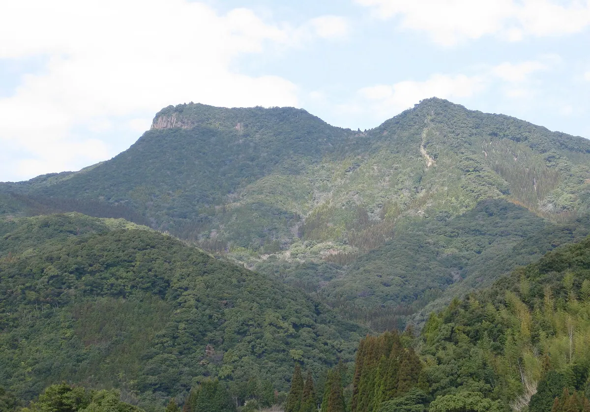
A mountain featuring three peaks, Shinto shrines, a Chinese garden, and a massive statue dedicated to the legendary envoy Xu Fu.
What it is
- A mountain bordering Ichikikushikino and Satsumasendai composed primarily of andesite rock.
- The site of Kanmuridake Sansho Gongen, three shrines located on the mountain peaks.
- The starting point for the Kanmuridake 88-temple pilgrimage route.
- A legendary location said to have been visited by the Chinese envoy Xu Fu.
What to see
- The highest peak, Nishidake, which reaches an elevation of 516 meters.
- A 6-meter tall statue of Xu Fu located within a lookout park.
- Kangakuen, a Chinese garden established on the mountain in 1992.
- The Senniniwa plant community, designated as a Kagoshima Prefecture natural monument.
- A shrine on the Higashidake peak dedicated to the deity Susanoo.
12
Mount Motchomu
KAGOSHIMA · PLACE モッチョム岳
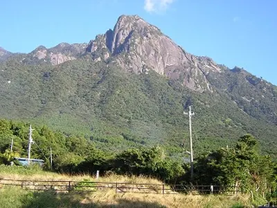
A 940-meter granite peak in Yakushima's UNESCO area featuring ancient cedar trees and panoramic views of the Pacific Ocean.
What it is
- A granite mountain peak standing at 940 meters in southern Yakushima.
- Part of the Onoma Three Mountains group within a UNESCO World Heritage area.
- The summit houses a shrine dedicated to the Onoma district mountain pilgrimage.
- The south face is recognized as one of the three major rock walls.
What to see
- A massive rock formation located at the mountain summit.
- Two ancient Yakusugi trees named Bandaisugi and Motchomu Taro at 700 meters.
- Expansive views of the Pacific Ocean looking south from the top.
- The Kamiyama Observatory ridge located along the climbing route.
Getting there
- The Tanayoke Trail begins at the Senhiro Falls parking lot.
13
Mount Shibi
KAGOSHIMA · PLACE 紫尾山
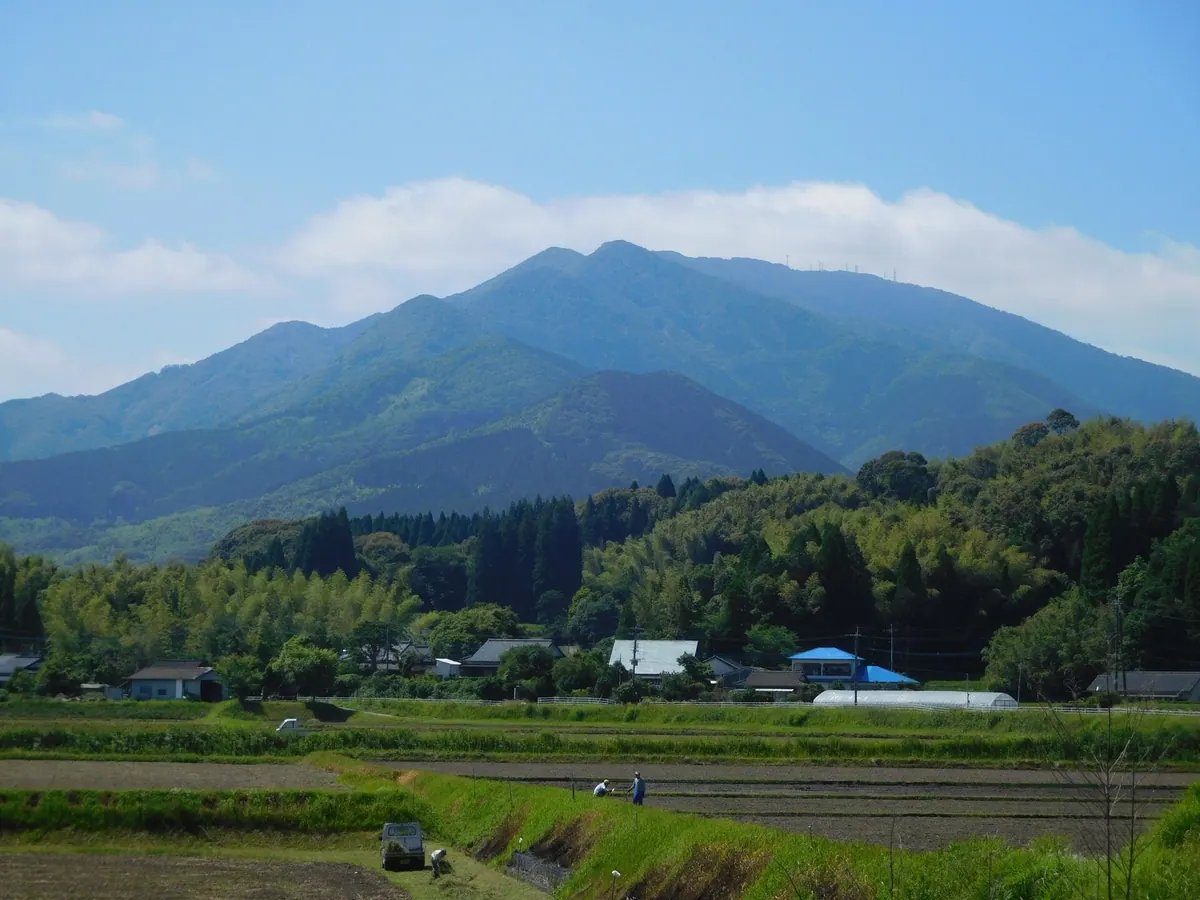
The highest peak in the Hokusatsu region featuring a summit shrine, unique ferns, and expansive views across three prefectures.
What it is
- The highest mountain peak in the Hokusatsu region standing 1,067 meters above sea level.
- A designated Forest Genetic Resources Reserve protecting the endemic Shibi-itachishida fern.
- A broadcasting hub hosting several television and FM radio relay stations for southern Japan.
- The site of Shinko-ji Temple which was founded at the foot of the mountain.
What to see
- A small shrine called Jogu Gongen located at the mountain summit.
- The Akune Relay Station which provides digital television signals to the surrounding region.
- Rare endemic ferns and protected plant life within the forest reserve.
- Panoramic views reaching parts of Kagoshima, Kumamoto, and Saga prefectures.
14
Mount Nagata
KAGOSHIMA · PLACE 永田岳
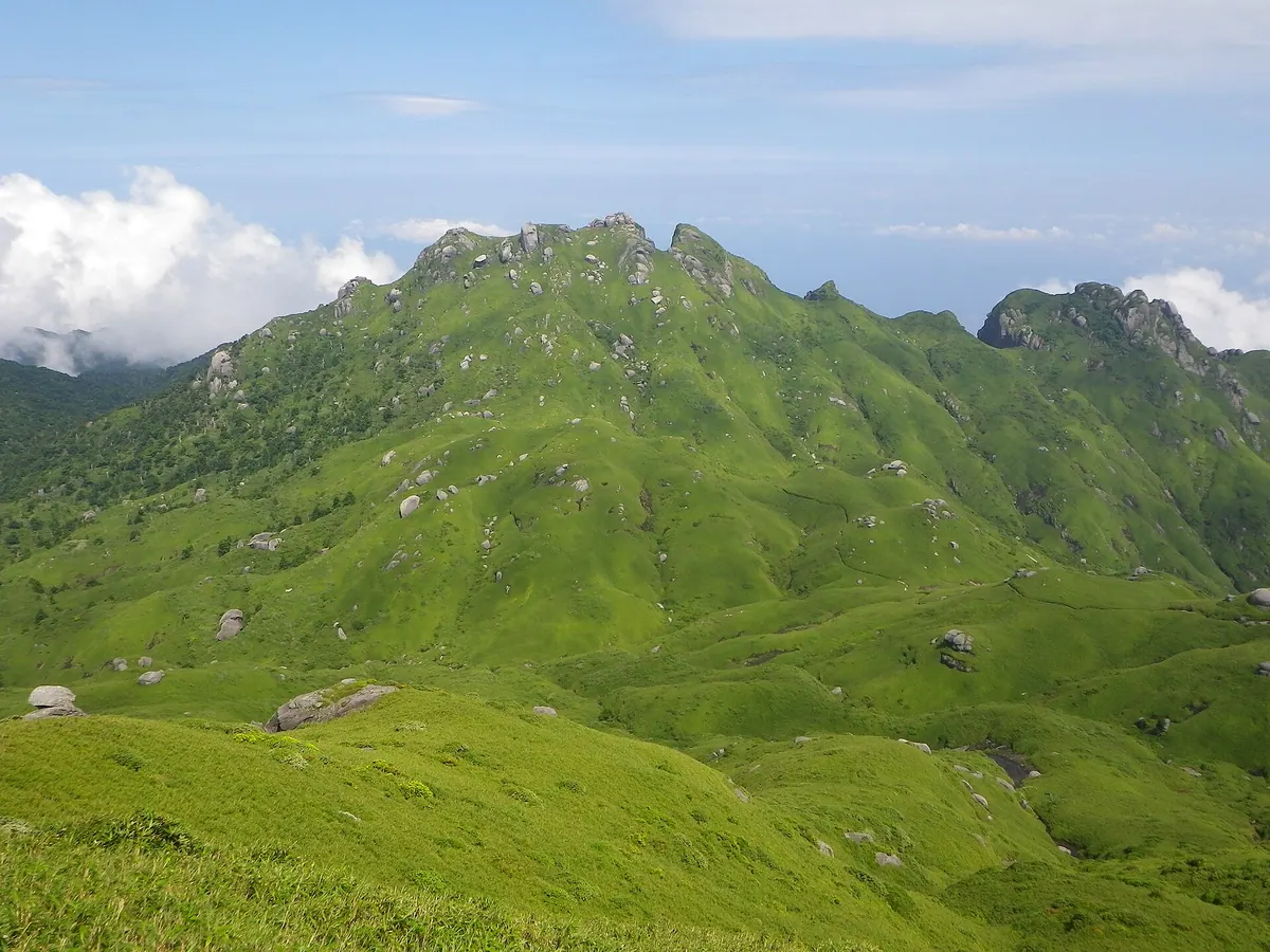
A granite peak in a UNESCO World Heritage site offering alpine views and a historic mountain worship shrine.
What it is
- The second highest peak on Yakushima Island and part of a National Park.
- One of the three major peaks known as the Yakushima Sanzan.
- A designated New Japan Top 100 Mountain within a UNESCO World Heritage site.
- A site for traditional mountain worship along the historic Nagata Trail.
What to see
- Large exposed granite formations that make up the mountain structure.
- A shrine dedicated to Ippon Hoshu Daigongen located near the summit.
- Alpine plants and Yakushima bamboo covering the high altitude landscape.
- Shikanosawa Hut, an unmanned stone shelter situated at 1,550 meters.
- Panoramic views of the island visible from the granite peak.
15
Aira Caldera
KAGOSHIMA · PLACE 姶良カルデラ
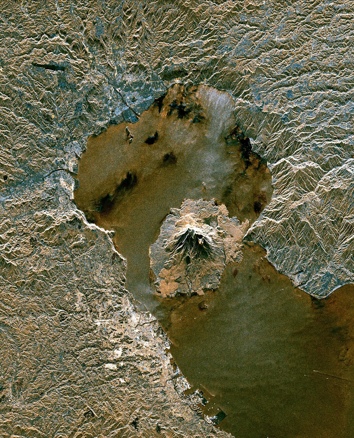
A massive 20-kilometer volcanic caldera in Kagoshima Bay that serves as the magma source for the active Sakurajima volcano.
What it is
- A 20-kilometer wide volcanic complex located in the northern part of Kagoshima Bay.
- Formed roughly 30,000 years ago during a massive eruption that created Shirasu plateaus.
- The primary magma source for the nearby active Sakurajima volcano.
- A complex of multiple calderas including the Osaki and Wakamiko sites.
What to see
- The steep caldera walls that surround the bay and are prone to landslides.
- Niijima Island which sits near the center of the caldera structure.
- Active submarine volcanoes including the Wakamiko site beneath the water surface.
- Views of the bay which was originally a freshwater lake before the sea entered.
16
Sakurajima
KAGOSHIMA · PLACE 桜島
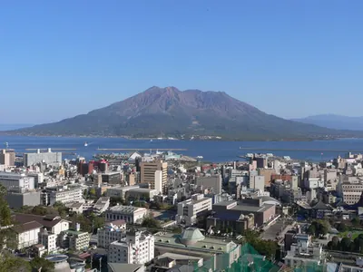
An active volcano in Kagoshima Prefecture offering a rare chance to see constant volcanic activity within a national park.
What it is
- An active volcano located on the southern edge of the Aira Caldera.
- A geological site formed approximately 26,000 years ago within Kirishima-Kinkowan National Park.
- A former island connected to the Osumi Peninsula by the massive 1914 eruption.
- One of Japan's Top 100 Geological Sites with a circumference of 55 kilometers.
What to see
- The highest peak, Kitadake, which reaches 1,117 meters above sea level.
- The Minamidake crater which has been actively erupting since 1955.
- Dry riverbeds caused by the porous volcanic soil across the landscape.
- Evidence of the 1914 Taisho eruption that released 2 cubic kilometers of material.
17
Mount Shiroyama
KAGOSHIMA · PLACE 城山
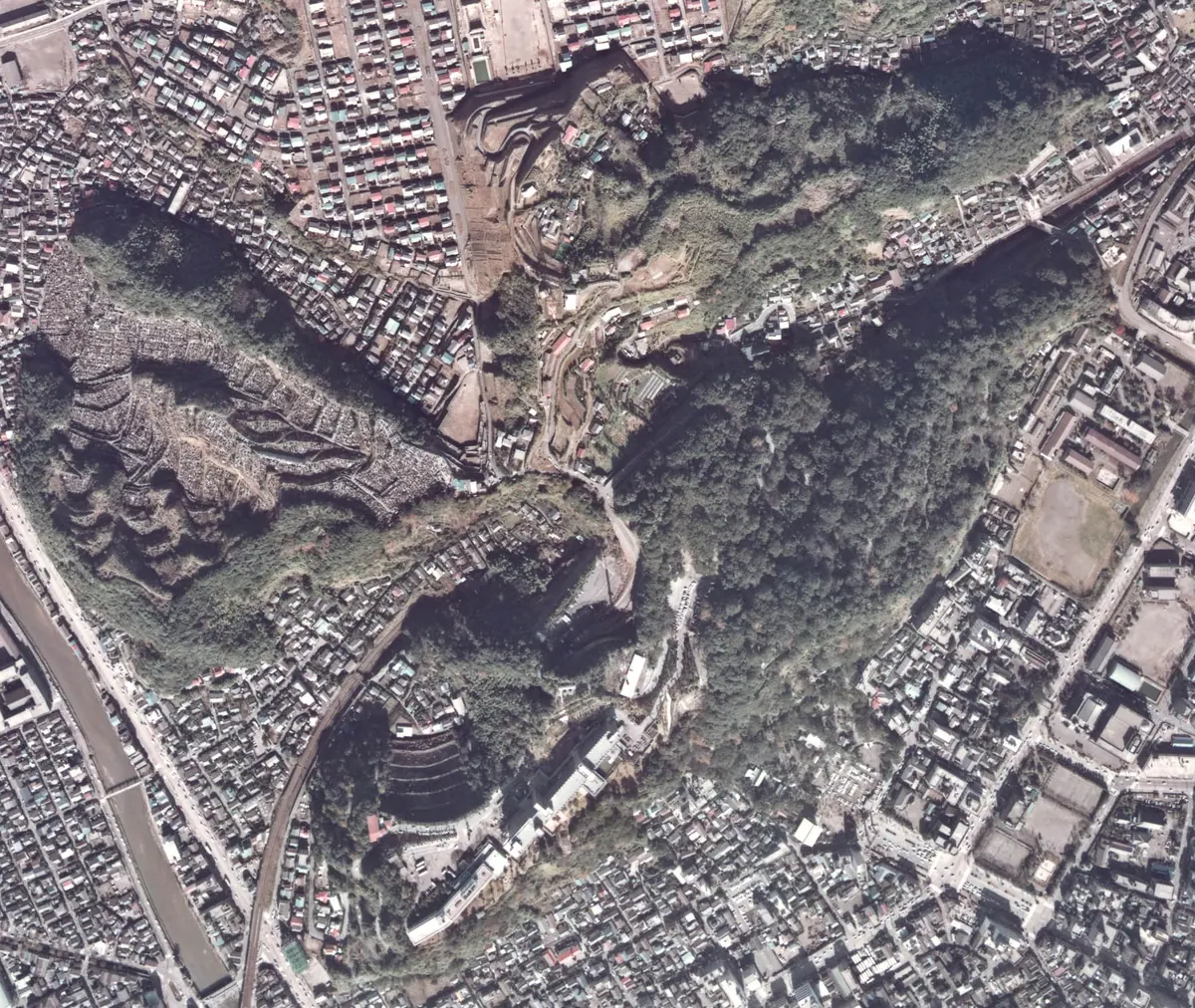
A historic mountain park in Kagoshima offering panoramic views of Sakurajima and sites from the final Satsuma Rebellion battle.
What it is
- A national historic site and natural monument in central Kagoshima City.
- The location of the final battle of the Satsuma Rebellion in 1877.
- The site where Saigo Takamori committed ritual suicide.
- A mountain primarily composed of shirasu volcanic ash.
What to see
- An observatory at 107 meters elevation overlooking Sakurajima and Kagoshima Bay.
- Over 600 species of wild subtropical plants growing across the mountain.
- The Shiroyama Nature Trail which first opened in 1972.
- Kagoshima Castle ruins built by Shimazu Tadatsune at the foot of the mountain.
- An NHK-FM transmission station situated on the mountain grounds.
18
Inao Mount
KAGOSHIMA · PLACE 稲尾岳
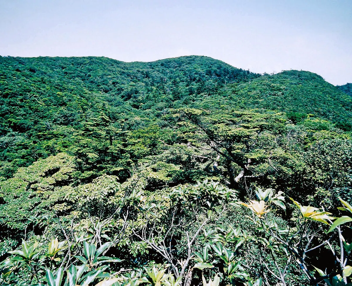
A protected mountain peak featuring a primary evergreen forest and a high-altitude shrine within a national natural monument.
What it is
- A mountain spanning Kimotsuki, Kinko, and Minamiosumi towns in the southern Osumi Peninsula.
- A designated national natural monument and nature conservation area in Japan.
- A site named after ears of rice featuring a primary evergreen broad-leaved forest.
- The highest point is Kareki Peak reaching an altitude of 959 meters.
What to see
- Inao Shrine located near the summit at an altitude of 930 meters.
- A visitor center situated on the western mountainside for information.
- Wild boars and Japanese macaques that inhabit the protected forest area.
- A second-class triangulation point located at the top of Kareki Peak.
19
Ata Caldera
KAGOSHIMA · PLACE 阿多カルデラ
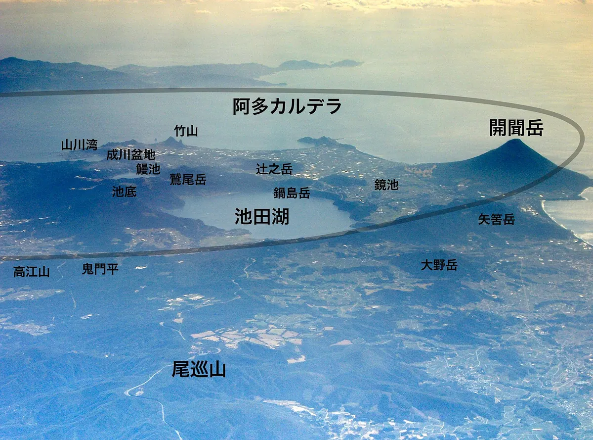
A massive volcanic caldera in southern Kagoshima featuring active peaks, a deep crater lake, and the city of Ibusuki.
What it is
- A large volcanic depression measuring 14 kilometers north-south and 24 kilometers east-west.
- A site formed by a major eruption approximately 110,000 years ago.
- An active volcanic area containing the city of Ibusuki within its southern section.
- A geological formation situated between the Aira and Kikai calderas.
What to see
- Lake Ikeda, a crater lake formed on the northwest rim 5,500 years ago.
- Mount Kaimon, a prominent volcano located on the western edge of the caldera.
- The volcanoes of Washiodake and Kiyomidake within the site boundaries.
- Mount Nabeshima, a lava dome that formed 4,500 years ago.
20
Mount Miyanoura
KAGOSHIMA · PLACE 宮之浦岳
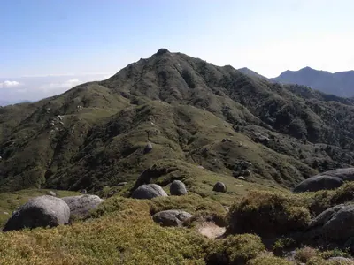
The highest peak in Kyushu, this UNESCO World Heritage mountain offers granite landscapes and famous hiking routes through ancient forests.
What it is
- The highest peak on Yakushima Island and in the Kyushu region at 1,936 meters.
- A UNESCO World Heritage site primarily composed of granite rock formations.
- One of Japan's 100 Famous Mountains classified as an interior peak.
- A source of water selected among Japan's 100 Remarkable Waters.
What to see
- Wind-swept grasslands located at the mountain summit.
- The Jomon Sugi and Yodogawa climbing routes through the interior.
- Unmanned emergency shelters used as mountain huts for hikers.