

19 Mountains in Okinawa worth your time
Japan Gems
19 Mountains in Okinawa, with what to see and how to get there.
Okinawa has 19 mountains on Japan Gems. Below are the 19 we can tell you the most about — each one written up in English from Japanese sources, with what to see and how to get there. See all mountains in Okinawa.
01
Mount Yonaha
OKINAWA · PLACE 与那覇岳
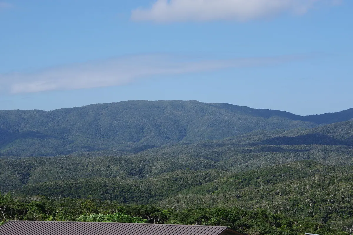
The highest peak on Okinawa Island, offering a protected subtropical forest environment home to rare endemic birds and unique geology.
What it is
- The highest mountain on Okinawa Island standing at 503 meters above sea level.
- A designated National Natural Monument located within the Yanbaru National Park.
- Part of a UNESCO World Natural Heritage site protecting subtropical biodiversity.
- A mountain composed of sandstone and schist from the Nago formation.
What to see
- Rare endemic wildlife including the Okinawa rail and the Okinawa woodpecker.
- A first-class triangulation point situated at an elevation of 498 meters.
- Dense subtropical forests that receive approximately 3,000 millimeters of annual rainfall.
- The border of the United States military Northern Training Area at the eastern foothills.
Getting there
- Access the mountain via a trailhead located along the Daikoku Forest Road.
02
Mount Omoto
OKINAWA · PLACE 於茂登岳
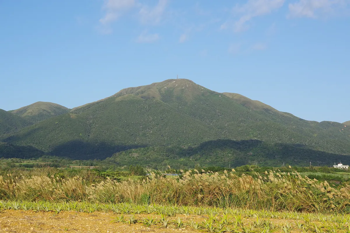
The highest peak in Okinawa Prefecture, this mountain offers a scenic one-hour hike through granite terrain and diverse wildlife habitats.
What it is
- The highest peak in Okinawa Prefecture standing at 526 meters above sea level.
- A National Scenic Spot designated in 1997 for its unique granite geology.
- A sacred site where the island guardian deity Umututerashii is enshrined.
- The primary source for the Miyara and Nagura rivers on Ishigaki Island.
What to see
- The summit area covered in native Ryukyu bamboo and tall grass.
- A hiking trail located on the southern side of the mountain.
- Local wildlife including the protected Crested Serpent Eagle.
- Panoramic views from the highest point in the prefecture.
When to go
- Allow approximately one hour to complete the climb to the summit.
Getting there
- Accessible by bus departing from the Ishigaki Bus Terminal.
03
Mount Katsuu
OKINAWA · PLACE 嘉津宇岳
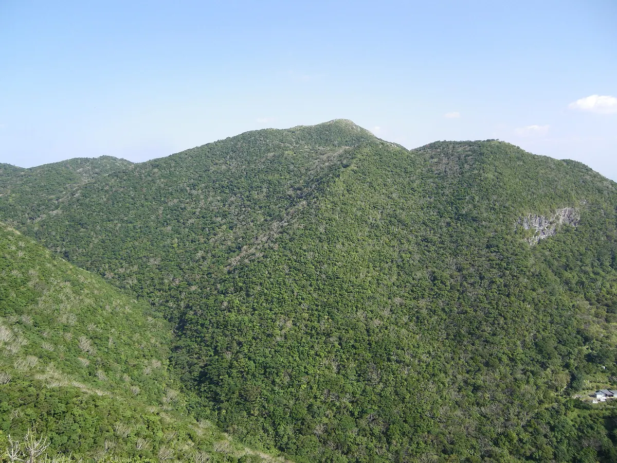
The highest peak in Nago City featuring rare limestone karst terrain and panoramic views of Okinawa's distant islands.
What it is
- A 452-meter mountain located on the Motobu Peninsula in Nago City.
- The highest peak in Nago City and a designated natural monument of Okinawa Prefecture.
- A geological site consisting of Paleozoic Permian limestone and Mesozoic strata.
- A former landmark once considered the highest peak in Okinawa until 1916.
What to see
- A summit featuring unique conical karst terrain and limestone formations.
- Panoramic views of the Kerama Islands and Kumejima from the mountain top.
- Distant views of the Shuri Castle ruins visible from the summit.
- Rare plant species including Asarum fudsinoi growing along the mountain slopes.
- Slopes dedicated to the cultivation of local Shikwasa citrus fruits.
- A trailhead and parking lot situated at an elevation of 270 meters.
04
Mount Nago
OKINAWA · PLACE 名護岳
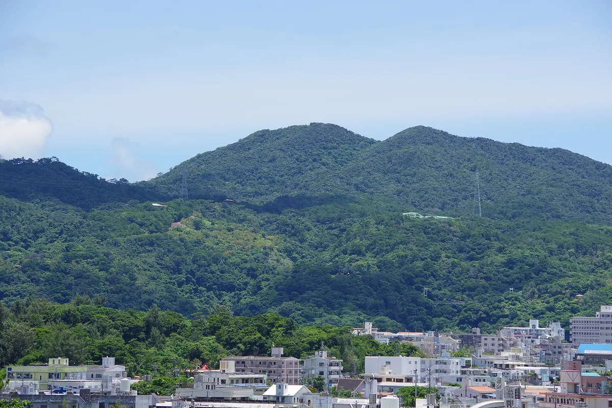
A 345-meter peak in a quasi-national park featuring castle ruins, early-blooming cherry blossoms, and a wildlife protection zone.
What it is
- A 345.2-meter mountain located within the Okinawa Kaigan Quasi-National Park.
- A designated wildlife protection zone and the source of the Haneji River.
- The site where the Nago-ran orchid was first discovered.
- Home to the Okinawa Prefectural Nago Youth House on the mountainside.
What to see
- Nago Castle ruins situated on the western slope of the mountain.
- Kanhi-zakura cherry trees planted throughout the former castle grounds.
- The Wakyu-no-hi memorial monument standing on the mountain.
- Diverse local flora and fauna within the protected wildlife area.
When to go
- Late January for the annual cherry blossom festival.
- Winter months to see the Kanhi-zakura trees in bloom.
05
Mount Awa
OKINAWA · PLACE 安和岳
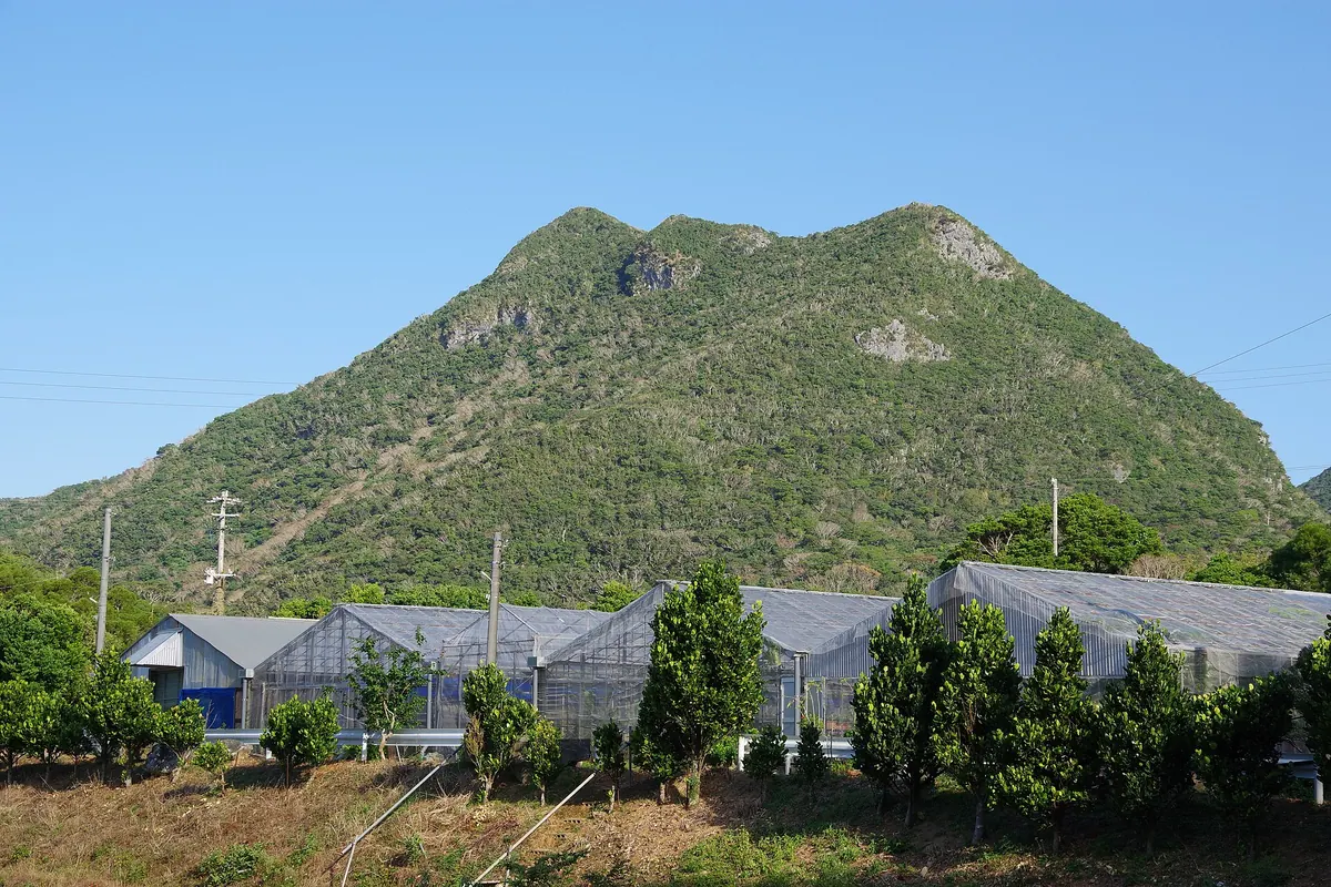
A 432-meter limestone peak in Nago offering a challenging five-hour hike through conservation forests with views of the Motobu Peninsula.
What it is
- The fifth tallest mountain on Okinawa Island standing 432 meters high.
- A designated nature conservation area established in 1989 on the Motobu Peninsula.
- A terrain primarily consisting of Paleozoic Permian limestone in the Katsuyama district.
- Slopes covered in evergreen broad-leaved trees and local Shikuwasa citrus farms.
What to see
- A 15-meter limestone cliff known as Gajanaku Banta.
- A cave on the southern slope used by a legendary exiled official.
- Summit views overlooking the Motobu Peninsula and Nago Bay.
- A hiking trail for intermediate climbers established by a local guide group.
When to go
- Allow approximately five hours to complete the round-trip hike.
06
Mount Yaese
OKINAWA · PLACE 八重瀬岳
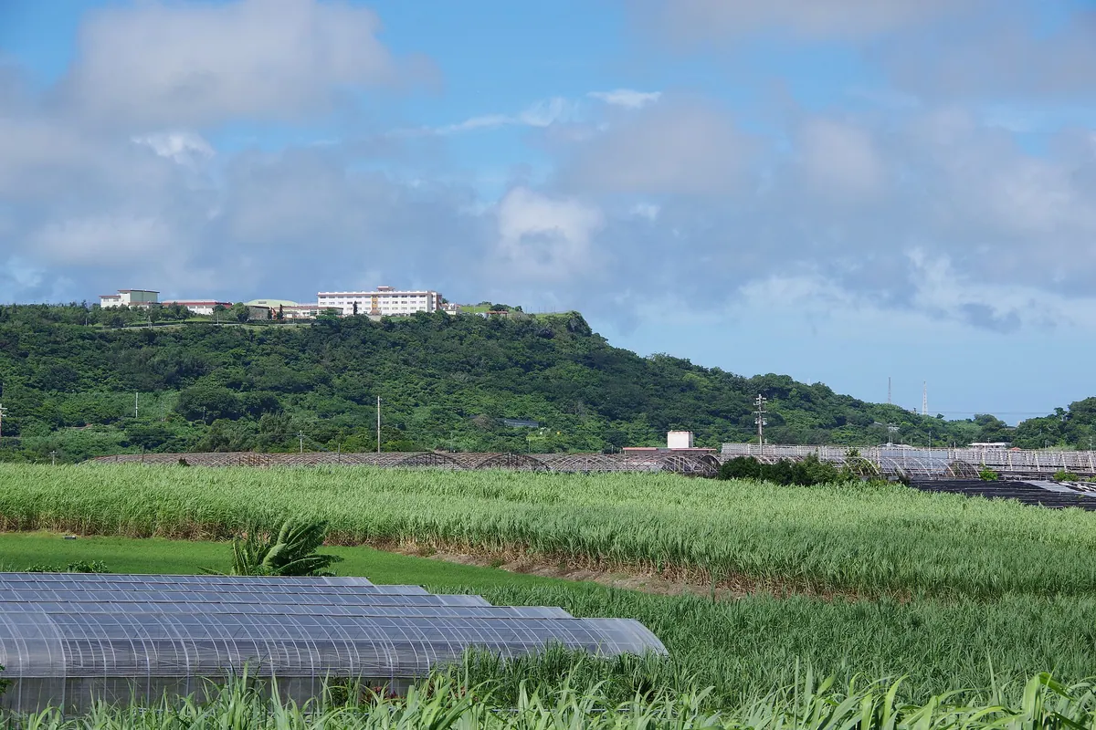
The highest peak in Yaese Town, offering historic castle ruins and a famous cherry blossom park on its northern slope.
What it is
- A 163-meter mountain that serves as the namesake for Yaese Town.
- The site of the final defense line during the Battle of Okinawa.
- Part of the Okinawa Senseki Quasi-National Park system.
- A location featuring a Self-Defense Forces base at the summit.
What to see
- Yaese Park, located on the northern slope of the mountain.
- The ruins of Yaese Castle situated at 110 meters elevation.
- A stone lion statue positioned to face the mountain to prevent fires.
- Extensive cherry blossom trees that bloom across the park area.
When to go
- The Yaese Cherry Blossom Festival held from January to February.
07
Mount Oppa
OKINAWA · PLACE 乙羽岳
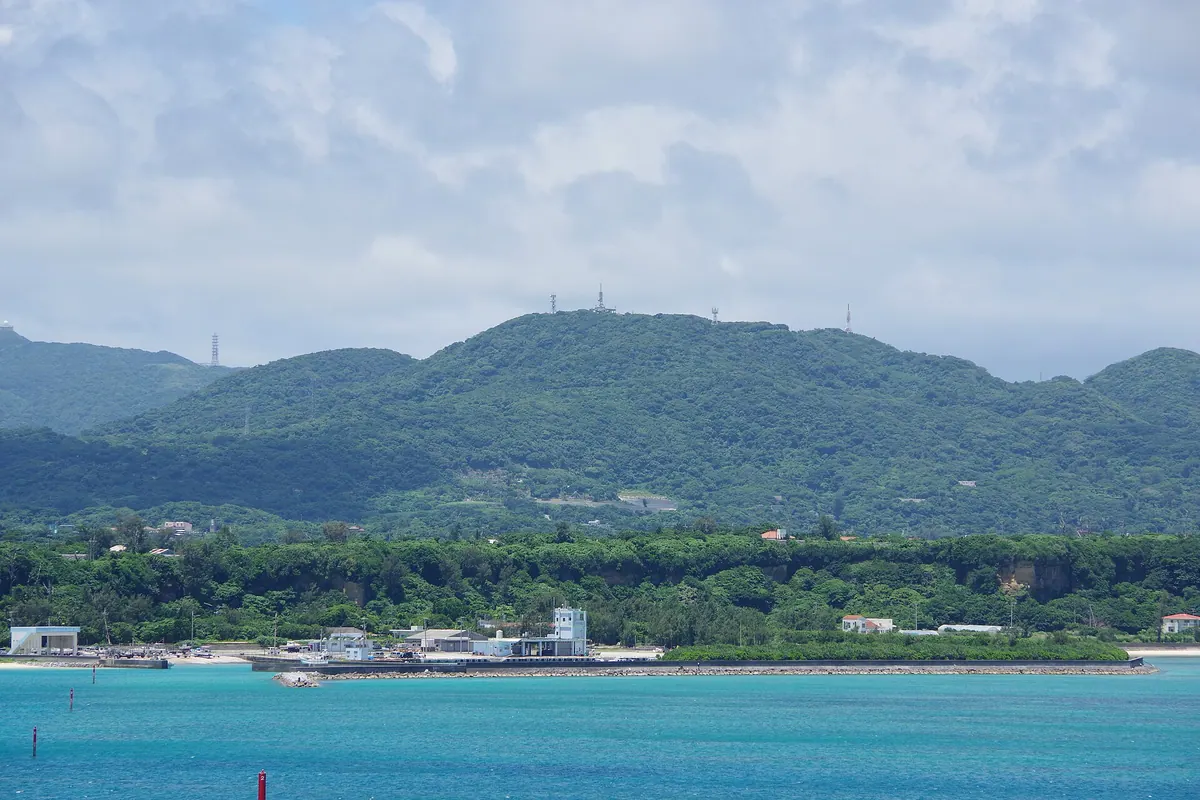
A 275-meter mountain in Nakijin offering panoramic island views, a butterfly-rich forest park, and a certified romantic observation deck.
What it is
- A 275.4-meter mountain featuring limestone, phyllite, and karst topography.
- Designated as a health and conservation forest in 1977.
- A forest park containing campgrounds and bungalows for visitors.
- One of the New 100 Okinawa Sights and a certified Lover's Sanctuary.
What to see
- A circular concrete observation deck built at the summit in 1984.
- Panoramic views of Yoron Island and Kouri Island from the peak.
- Ninety percent of Okinawa's butterfly species living within the forest.
- A television relay station standing at the summit since 1969.
- The Oppadake Formation containing Triassic tuffaceous chert.
08
Mount Karadake
OKINAWA · PLACE カラ岳
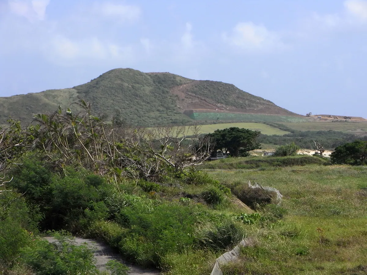
A 135.9-meter coastal mountain in Ishigaki covered in grasslands, now serving as a paragliding spot next to the new airport.
What it is
- A coastal mountain with an elevation of 135.9 meters located in the Shiraho district.
- A natural landmark also known by its name written in katakana characters.
- A site used as a launch point for paragliding activities.
- A landscape characterized by grasslands covering the entire surface of the mountain.
What to see
- Expansive grasslands that stretch across the mountain slopes.
- The New Ishigaki Airport situated directly on the south side of the mountain.
- Areas of the mountain that were excavated during the airport construction project.
- Views of the surrounding Shiraho district and the nearby coastline.
09
Mount Hedo
OKINAWA · PLACE 辺戸岳
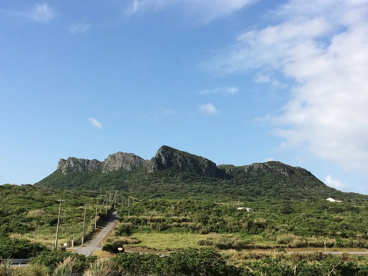
A sacred limestone mountain in northern Okinawa featuring four peaks, ancient royal tombs, and significant Ryukyuan mythological sites.
What it is
- A 248.3 meter mountain located within Yanbaru National Park in northern Okinawa.
- The site of the first sacred area created by the deity Amamiku in Ryukyuan mythology.
- A spiritual location also known as Asumui or Hedo Utaki.
- A natural landscape characterized by tower karst topography and limestone geology.
What to see
- Four distinct mountain peaks rising 1.5 kilometers southwest of Cape Hedo.
- The tomb of King Gihon located at the northern foot of the mountain.
- Two stone lanterns dating back to 1644 at the Shichiyara Utaki entrance.
- The Hedo Okawa water source historically used for royal ceremonies.
10
Mount Gusuku
OKINAWA · PLACE 城山
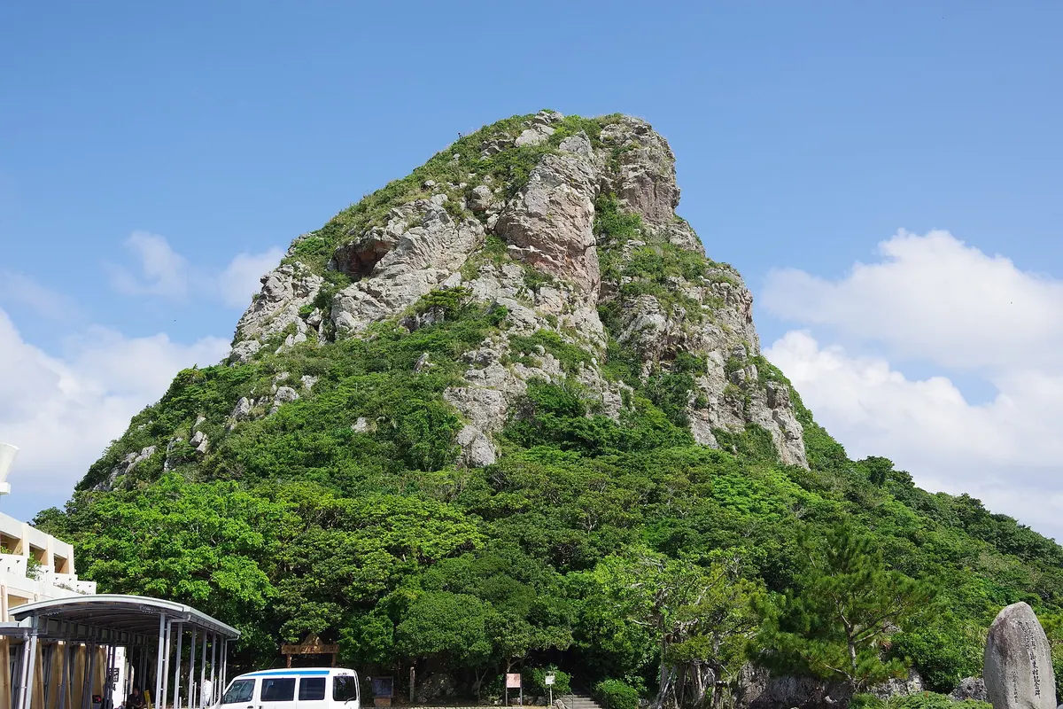
A sacred 172-meter peak and maritime landmark offering historic prayer sites and unique geological formations on Ie Island.
What it is
- A sacred mountain standing 172.2 meters above sea level in Ie Village.
- A designated historical site and landmark used for maritime navigation.
- The only mountain in the world formed by a geological offscrape phenomenon.
- Commonly known as Tatchu by people living outside of the island.
What to see
- A legendary footprint located at the very summit of the mountain.
- Multiple prayer sites situated along the mountainside for local residents.
- Historical excavation sites where Kamuiyaki pottery and Chinese ceramics were found.
- The western foot of the mountain where Kanei Tsuho coins were discovered.
11
Mount Ishikawa
OKINAWA · PLACE 石川岳
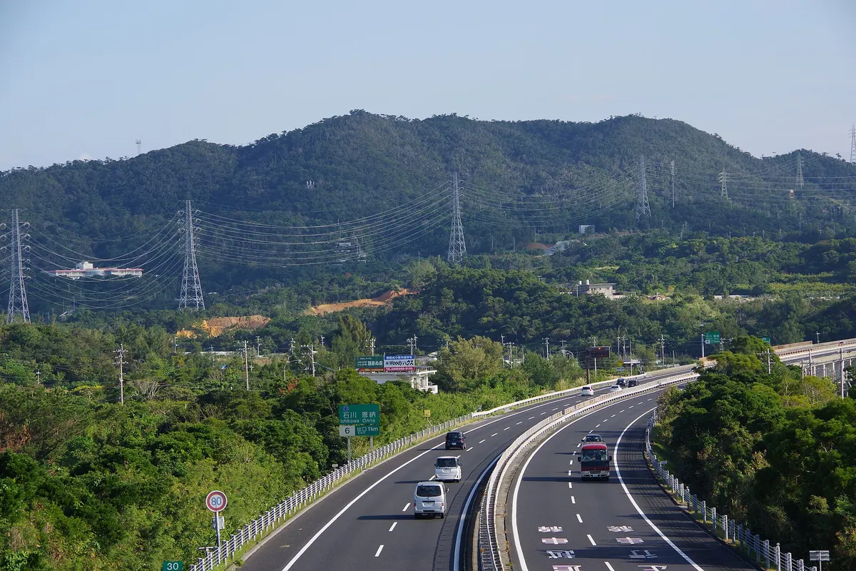
The highest peak in Uruma City, offering three hiking courses through a forest recognized for its natural beauty and historical significance.
What it is
- A 204-meter peak located at the southern end of the Kunigami Mountains.
- The highest point in Uruma City, spanning across Onna Village and Kin Town.
- A designated top 100 forest-bathing site managed by the Ishikawa Youth House.
- A historical site used as a shelter by local residents during World War II.
What to see
- Panoramic views of Kin Bay and Uruma City from the summit.
- Three distinct hiking courses leading through the protected forest area.
- The Ishikawa Youth Nature House located at the base of the mountain.
- The Okinawa Prefectural Police School situated near the mountain base.
12
Iriomote Submarine Volcano
OKINAWA · PLACE 西表海底火山
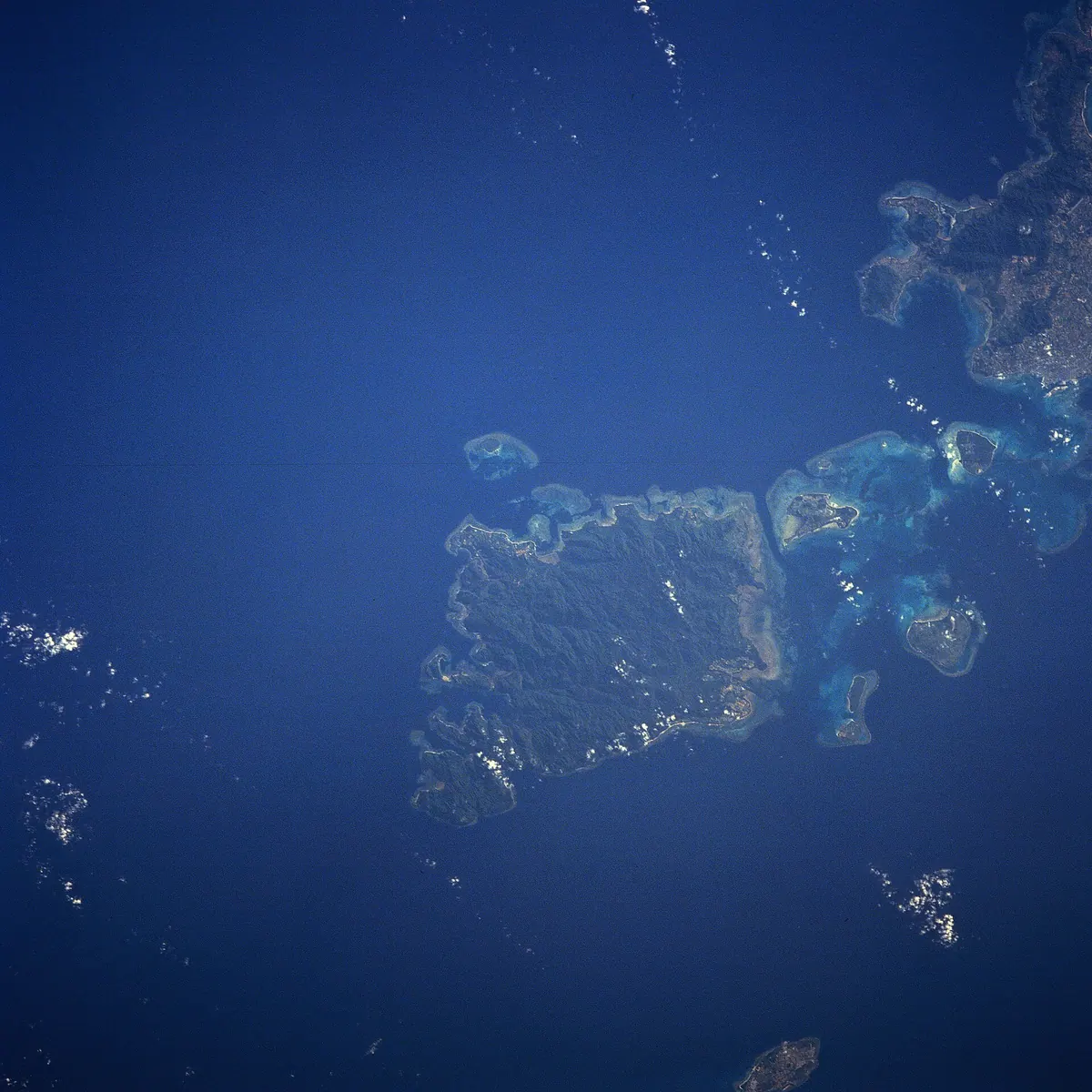
An active submarine volcano in the Ryukyu belt known for a massive 1924 eruption that sent pumice across Japan.
What it is
- An active submarine volcano located twenty kilometers north-northeast of Iriomote Island.
- A member of the Ryukyu Submarine Volcano Belt monitored by the Japan Meteorological Agency.
- Site of a major VEI-5 eruption that occurred on October 31, 1924.
- Source of significant earthquake swarms recorded between 1991 and 1994.
What to see
- The general ocean area where a cubic kilometer of pumice was once produced.
- Waters above the unidentified volcanic vent that released high-silicon dioxide pumice.
- The sea surface where over eight hundred tremors were recorded in a single month.
13
Mount Yoza
OKINAWA · PLACE 与座岳
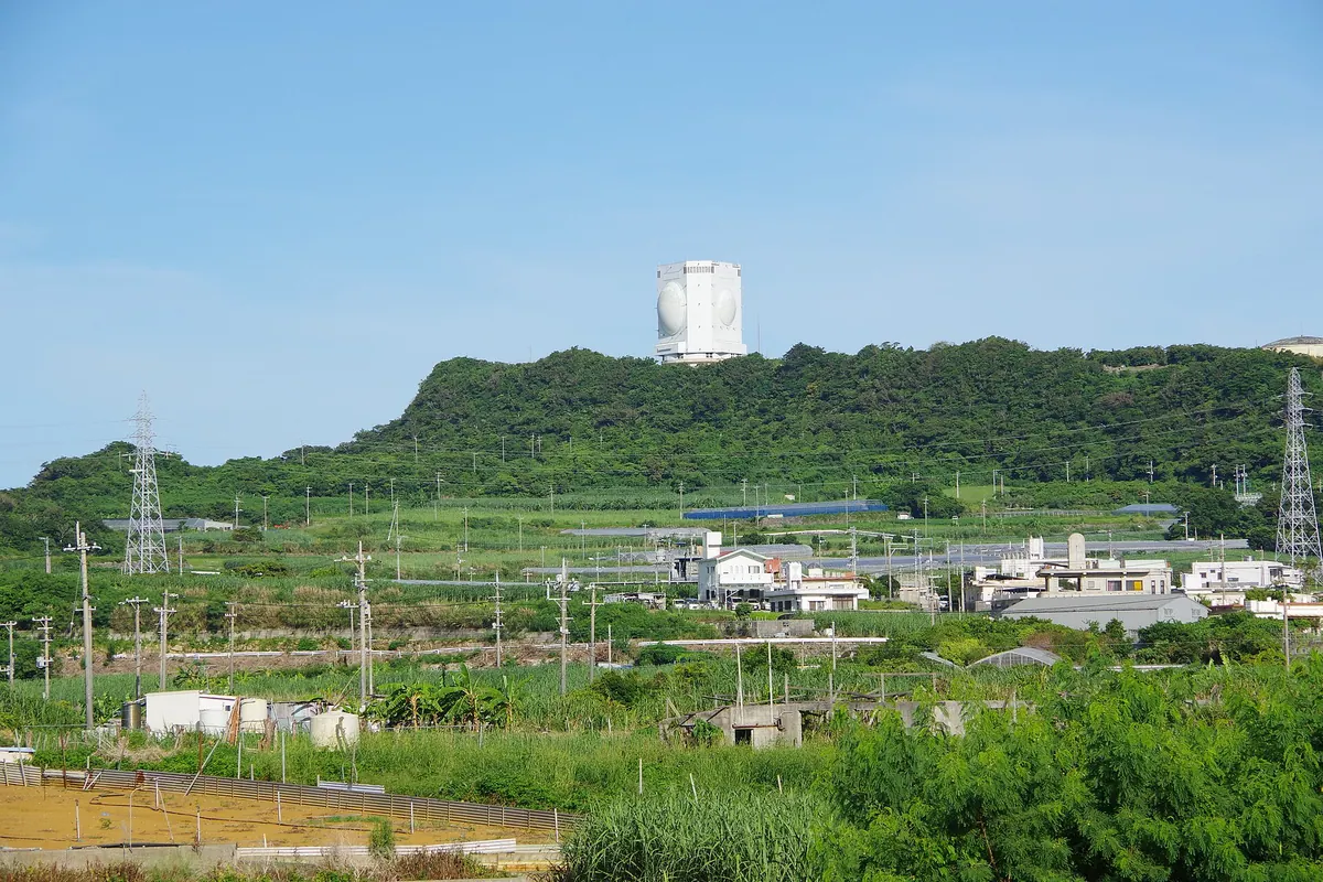
The highest peak in Itoman City, featuring a sacred summit site and a modern air defense radar installation.
What it is
- The highest peak in Itoman City at an elevation of 168.4 meters.
- A site composed of Ryukyu limestone and mudstone in southern Okinawa.
- A former battlefield from 1945 now housing a Japan Air Self-Defense Force base.
- Part of the northern slope belongs to the Okinawa Senseki Quasi-National Park.
What to see
- The Yuzadaki-nu-utaki sacred site located at the mountain summit.
- A natural spring called Yoza-ga situated at the northern foot.
- The FPS-5 radar system used for air surveillance by the military.
- Surrounding landscapes consisting of local farmland and a golf course.
14
Mount Nosoko
OKINAWA · PLACE 野底岳
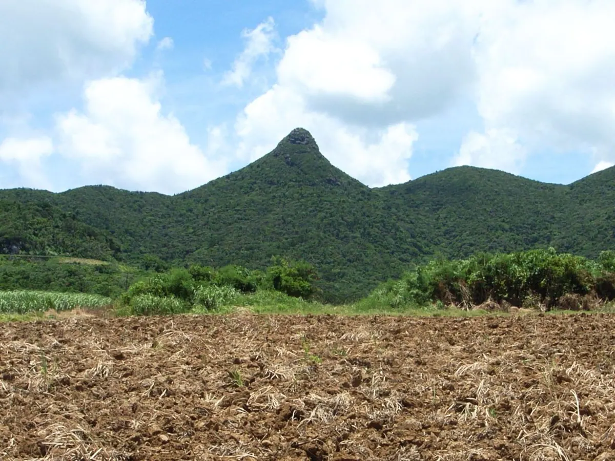
A scenic peak on Ishigaki Island featuring a unique rock formation and panoramic views rooted in local folklore.
What it is
- One of Japan's 100 Island Mountains located in Ishigaki City.
- A geological site consisting of Eocene volcanic rocks and lava.
- The source of the Nishihama River also known as Nosoko Fuji.
- A site dedicated to the legend of a woman named Mape.
What to see
- A large standing andesite rock located at the mountain peak.
- Dense forests covered by a community of Castanopsis sieboldii trees.
- The Nosoko Forest Road which fully opened in April 2004.
Getting there
- The hike from the trailhead takes fifteen to thirty minutes to reach the top.
15
Mount Fukaiomoto
OKINAWA · PLACE 桴海於茂登岳
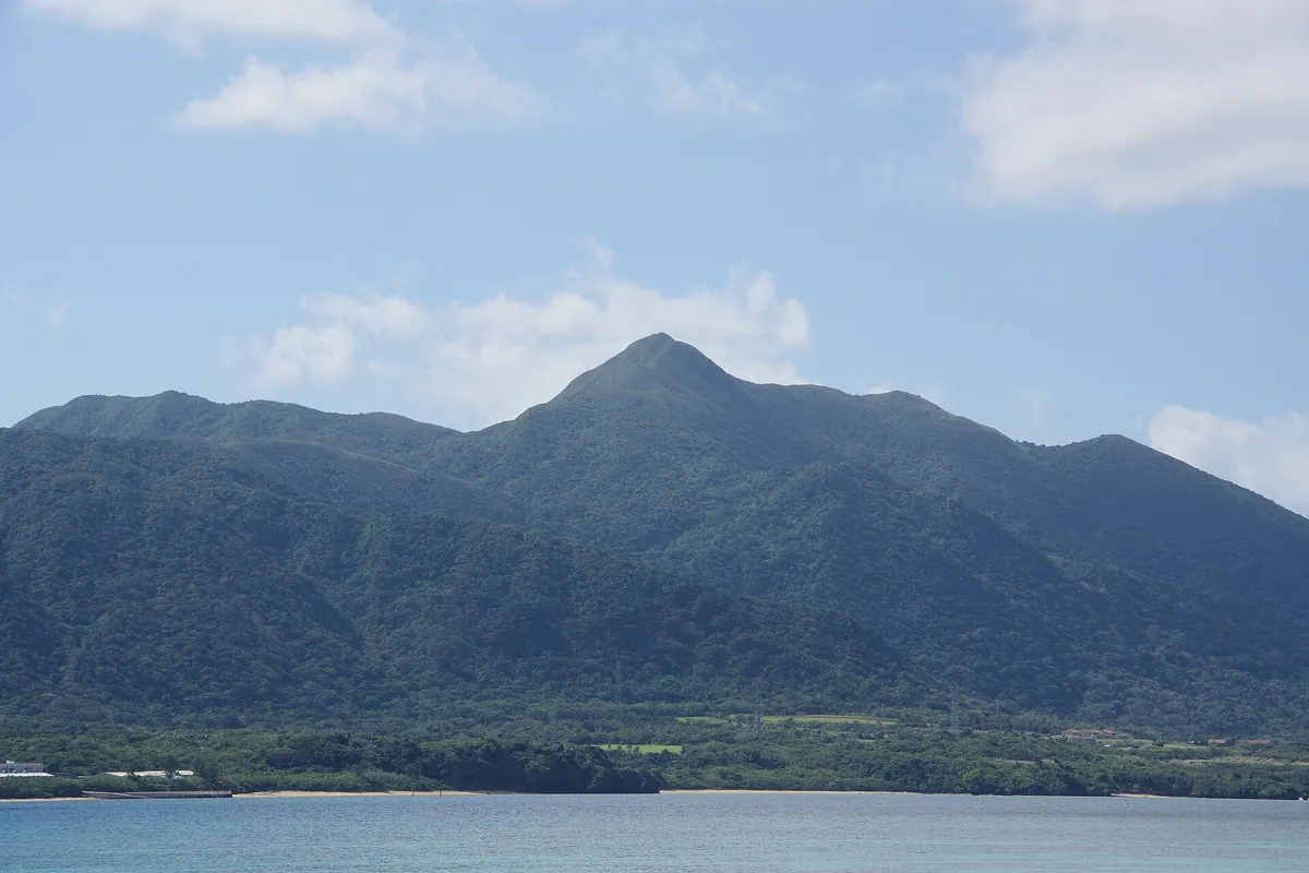
A 477-meter granite peak known as Yaeyama Fuji, offering unique flora like Satake palms and Ryukyu bamboo on Ishigaki Island.
What it is
- The second highest mountain on Ishigaki Island standing at 477 meters high.
- A natural formation composed of Miocene granite also known as Yaeyama Fuji.
- Locals refer to the peak as Fukai Fudagi or Manta Mountain.
- The mountain is located two kilometers northeast of Mount Omoto in Okinawa.
What to see
- The summit area is densely covered with native Ryukyu bamboo.
- Satake palms grow naturally along the northern slope of the mountain.
- Looking glass trees can be found near the Ntanara River.
- Wild cherry trees grow in the vicinity of the Arakawa River.
16
Mount Komi
OKINAWA · PLACE 古見岳
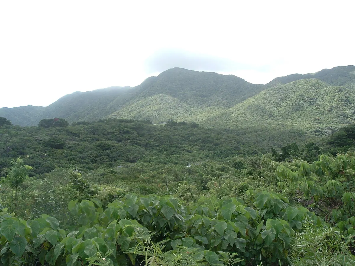
The highest peak on Iriomote Island, this sacred mountain offers a challenging hike through dense Ryukyu bamboo to a summit viewpoint.
What it is
- The highest peak on Iriomote Island standing at 469.5 meters above sea level.
- A sacred site worshipped by local people under the dialect name Kundagi.
- The fourth highest mountain in the entire Okinawa Prefecture.
- Named after the village that was historically located behind the mountain.
What to see
- Dense clusters of Ryukyu bamboo growing naturally near the mountain top.
- A third-class triangulation point installed at the highest point of the summit.
- Surrounding terrain consisting of various peaks in the 300 to 400 meter range.
17
Mount Iyu
OKINAWA · PLACE 伊湯岳
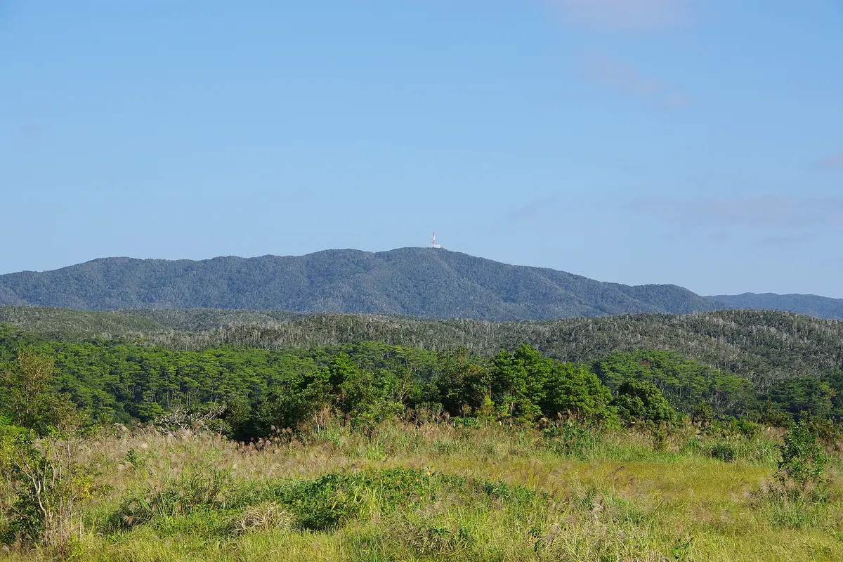
The highest peak in Higashi Village, this 446-meter mountain is a key part of the Yanbaru National Park broadleaf forest.
What it is
- A 446-meter peak spanning Kunigami and Higashi villages in Okinawa
- The highest point in Higashi Village and part of Yanbaru National Park
- Source of the Hiji, Takari, Shinkawa, and Fukuchi rivers
- Known locally in the Okinawan dialect as Yudaki
What to see
- Broadleaf forests featuring native Itajii trees across the slopes
- A microwave tower installed at the summit since 1990
- Views of the surrounding Yanbaru wilderness and the Pacific Ocean
- A former forestry road that historically connected Ogimi and Higashi villages
18
Mount Onna
OKINAWA · PLACE 恩納岳

A 363-meter peak in central Okinawa significant for its military history, unique wildlife, and role in traditional Ryukyuan literature.
What it is
- The highest peak in both Onna Village and Kin Town at 363 meters.
- A central Okinawa mountain belonging to the Kunigami mountain range.
- A site where 20,000 people sought refuge during the Battle of Okinawa.
- A restricted area currently located within the Camp Hansen military base.
What to see
- Remains of Japanese military bunkers located near the summit area.
- Geological formations consisting of sandstone and slate from the Kunigami Group.
- The natural habitat where the Onnadake gecko was first recorded.
19
Mount Narahara
OKINAWA · PLACE 奈良原岳
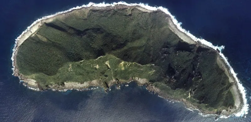
The highest peak on Uotsuri Island, named in 1900 to honor a former governor of Okinawa Prefecture.
What it is
- The highest peak on Uotsuri Island in the Senkaku Islands.
- Named in 1900 by Kuroiwa Hisashi to honor Governor Narahara Shigeru.
- A mountain standing at an elevation of 362 meters.
- The site where a Japanese flag was raised in August 2012.
What to see
- The mountain summit located near the southern coast of the island.
- Views of Mount Byobu, the second highest peak on the island.